코마노 최고의 워킹 & 하이킹 경로
4.6
(425)
1,825
등산객
49
하이킹
정확한 경로를 찾는 것이 때로는 어렵지만 코마노에서 하이킹을 하면 다양한 경치를 마음껏 감상할 수 있답니다. 코마노에서 가장 멋진 하이킹과 워킹 중에서 마음에 드는 활동을 시작해보세요.
마지막 업데이트: 8월 30, 2026
4.4
(24)
84
등산객
13.4km
04:57
580m
580m
Embark on a moderate hike around Monte Acuto, starting from the Lagastrello Dam. This 8.3-mile (13.4 km) loop takes about 4 hours and 56 minutes to complete, with a total…
4.7
(10)
35
등산객
12.2km
05:13
710m
700m
Embark on the difficult Monte Bocco and Monte Malpasso Loop, a challenging hike that spans 7.6 miles (12.2 km) with a significant elevation gain of 2319 feet (707 metres). This…

무료 회원 가입
3
등산객
7.94km
03:55
700m
700m
Glacial valley hike through Barbarossa's legendary path to Apennine peaks with Apuan Alps views.
9.48km
04:21
750m
750m
Rocky ridge climb past a WWII prisoner hut to Monte Alto's summit overlooking the Tyrrhenian Sea.
4.6
(30)
89
등산객
9.11km
04:02
660m
660m
보통 하이킹. 좋은 체력 필요. 대부분 갈 수 있는 길. 미끄러지지 않게 조심해야 함.
더 다양한 경로와 다른 탐험가들의 추천을 살펴보세요.
무료 회원 가입
이미 komoot 계정이 있나요?
투어 추천은 다른 사람들이 komoot에서 완료한 수천 개의 활동을 바탕으로 구성되어 있습니다.
오늘 무료 계정으로 시작하세요
다음 모험이 기다리고 있어요.
로그인 또는 가입하기

커뮤니티 팁

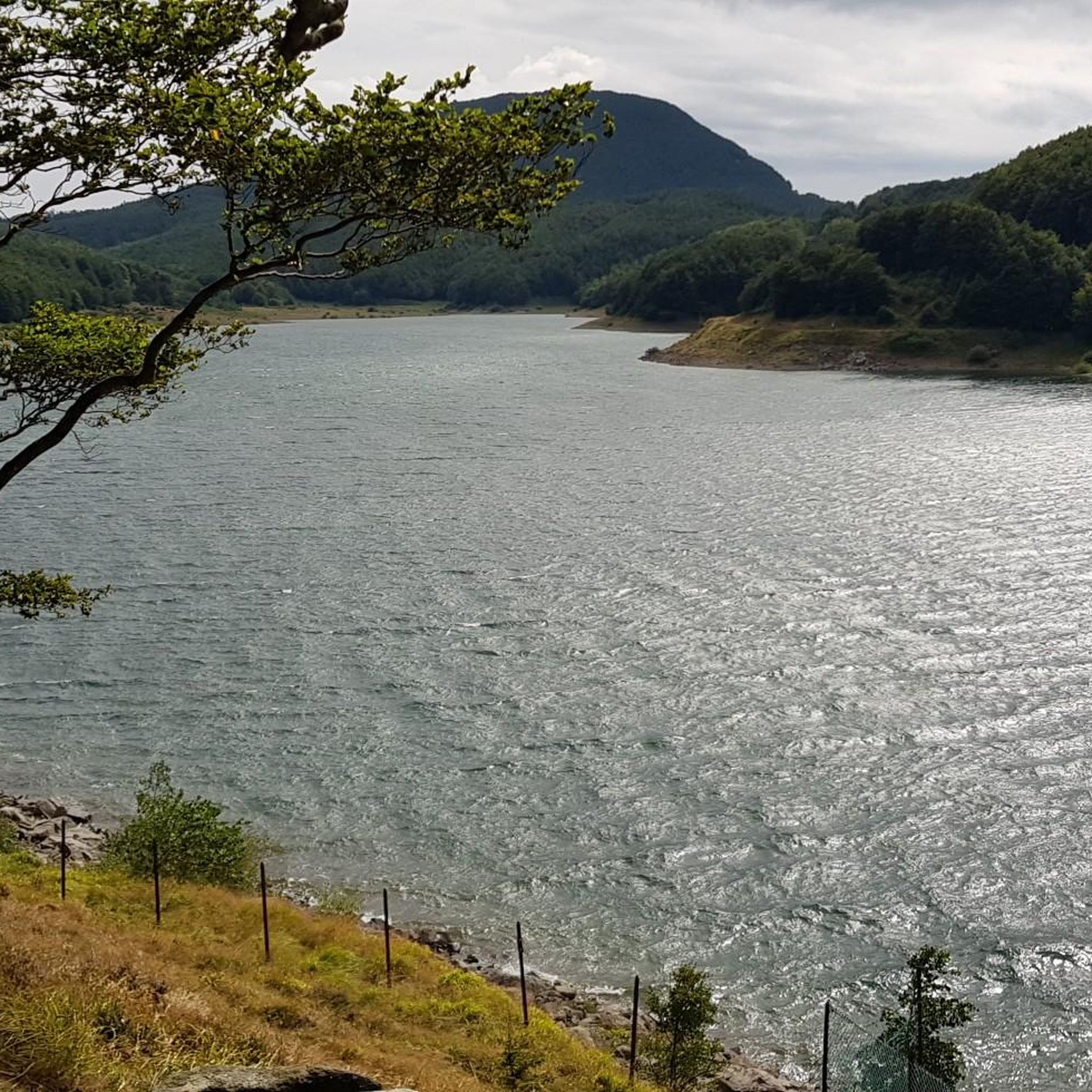
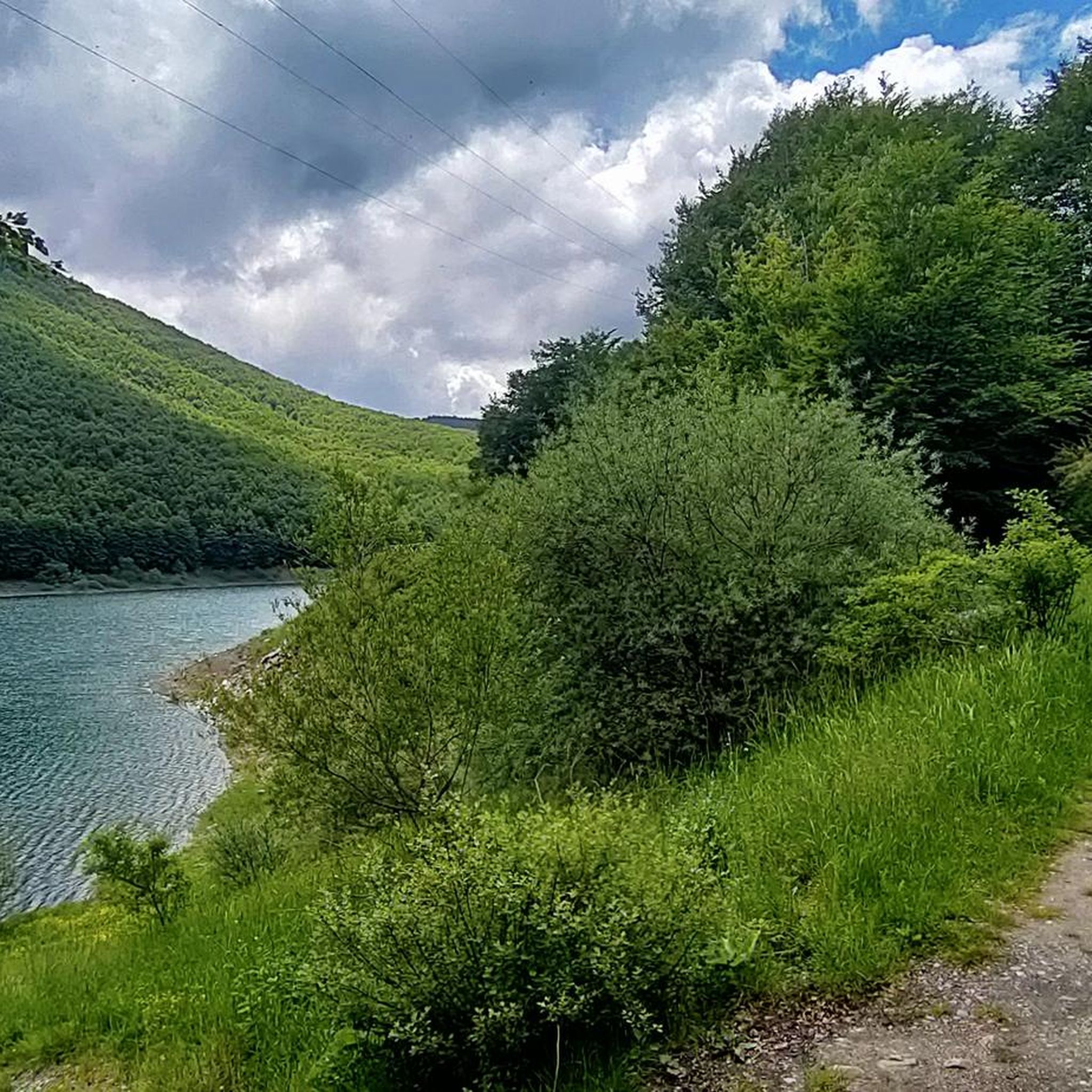
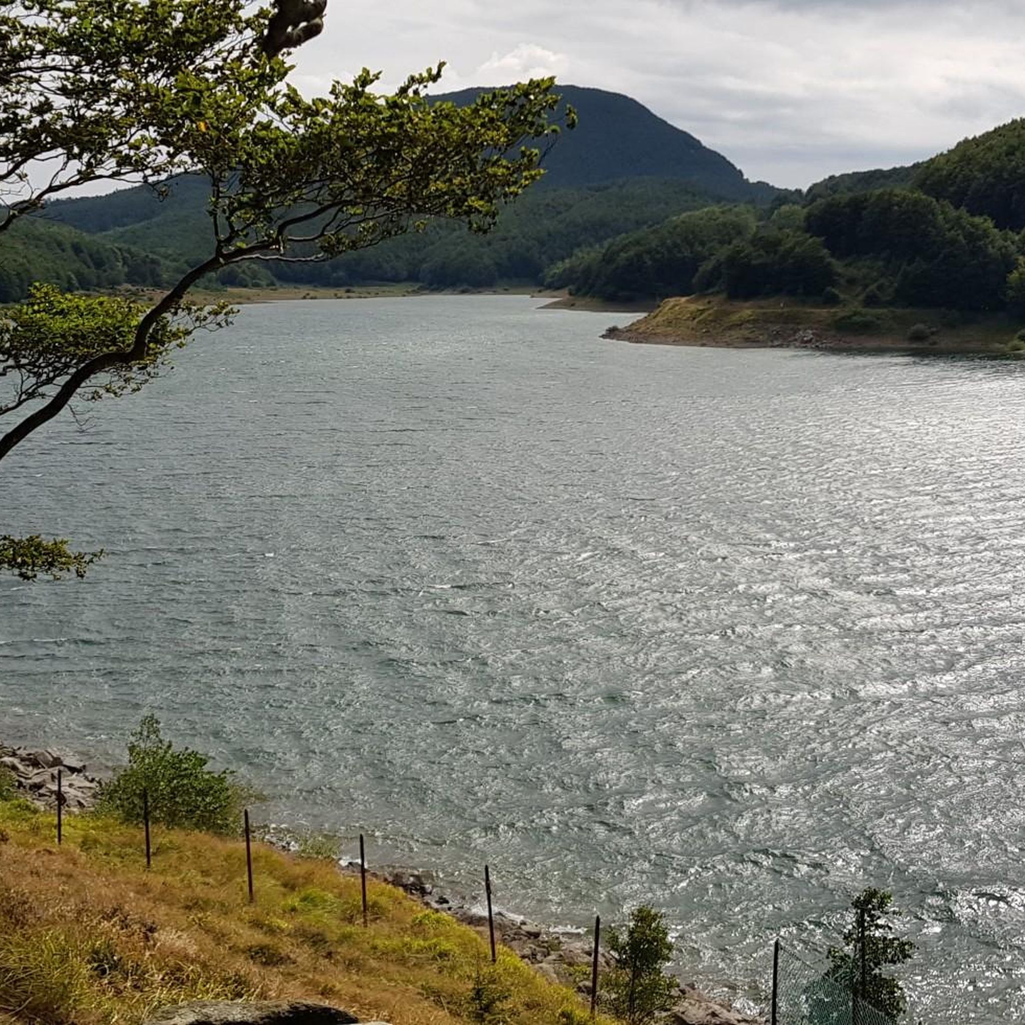
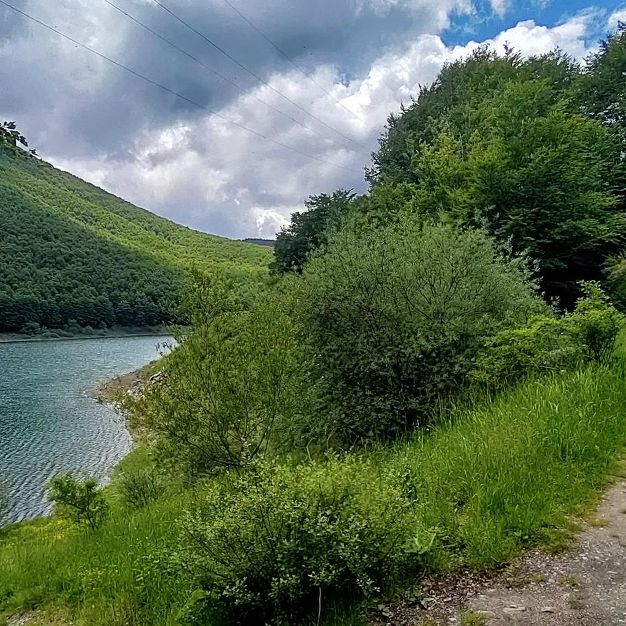
라가스트렐로 댐(공식 명칭은 라고 파둘리 댐)은 토스카나-에밀리아 아펜니노 산맥에 위치한 인공 댐으로, 코마노(마사-카라라) 시에 해발 약 1,157미터 높이에 있으며, 토스카나와 에밀리아-로마냐를 나누는 라고스트렐로 고개에서 아주 가까운 거리에 있습니다. 1906년에서 1910년 사이에 수력 발전을 목적으로 엔차 강을 막아 건설되었으며, 3백만 입방미터 이상의 물을 모으는 인공 호수인 라고 파둘리를 만들었습니다. 공학적 관점에서 볼 때, 이 댐은 불투수성 점토 핵을 가진 흙댐의 주목할 만한 예입니다. 건설 막바지 단계였던 1909년 12월, 부분적이고 재앙적인 붕괴가 발생하여 아래쪽 체드라 계곡을 황폐화시켰지만, 다행히 인명 피해는 없었습니다.
0
0


There is a strange magic in this beautiful meadow
0
0

Please note that this walk is less suitable for people with a fear of heights.
1
0

right at the signpost there is a perfect spot of Lake Palo, recommended for those who do the tour of the lake and pass through the Canuti saddle
0
0

Mount Malpasso has an altitude of 1707 m, is located along the crest of the Canuti mountains and can be reached from the basin above Lake Verdarolo, a beautiful panoramic point towards Mount Succiso, the Apuan Alps and the Gulf of Spezia
1
0


더 살펴보기
다른 지역의 최고의 하이킹를 살펴보세요.
