바레세 리구레 최고의 라이딩 경로
4.3
(140)
2,910
자전거 타는 사람
71
라이딩
바레세 리구레의 로드 사이클링 경로를 찾으시나요? 그렇다면 바레세 리구레 로드 라이딩 컬렉션 중에서 가장 멋진 라이딩 장소를 아래에서 살펴보세요.
마지막 업데이트: 8월 25, 2026
5.0
(2)
24
자전거 타는 사람
59.8km
03:36
1,550m
1,550m
어려운 도로 자전거 타기. 우수한 체력 필요. 지면 대부분이 잘 포장되어 있고 라이딩하기 쉬움.
4.3
(13)
242
자전거 타는 사람
81.6km
04:28
1,620m
1,620m
어려운 도로 자전거 타기. 우수한 체력 필요. 지면 대부분이 잘 포장되어 있고 라이딩하기 쉬움.

무료 회원 가입
5.0
(4)
101
자전거 타는 사람
50.6km
02:31
710m
710m
보통 도로 자전거 타기. 좋은 체력 필요. 지면 대부분이 잘 포장되어 있고 라이딩하기 쉬움.
4.7
(3)
83
자전거 타는 사람
63.5km
03:39
1,470m
1,470m
어려운 도로 자전거 타기. 우수한 체력 필요. 지면 대부분이 잘 포장되어 있고 라이딩하기 쉬움.
27
자전거 타는 사람
111km
06:06
2,350m
2,350m
어려운 도로 자전거 타기. 우수한 체력 필요. 지면 대부분이 잘 포장되어 있고 라이딩하기 쉬움.
더 다양한 경로와 다른 탐험가들의 추천을 살펴보세요.
무료 회원 가입
이미 komoot 계정이 있나요?
투어 추천은 다른 사람들이 komoot에서 완료한 수천 개의 활동을 바탕으로 구성되어 있습니다.
오늘 무료 계정으로 시작하세요
다음 모험이 기다리고 있어요.
로그인 또는 가입하기

커뮤니티 팁

길 위에 시원하고 편안한...
0
0
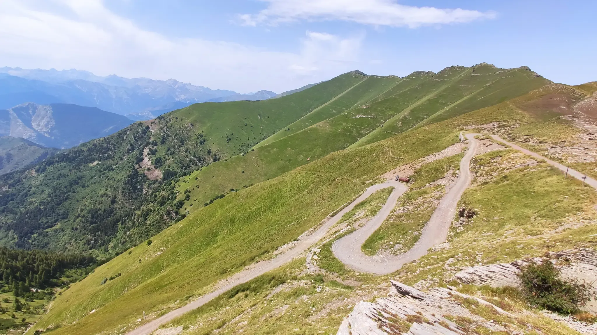
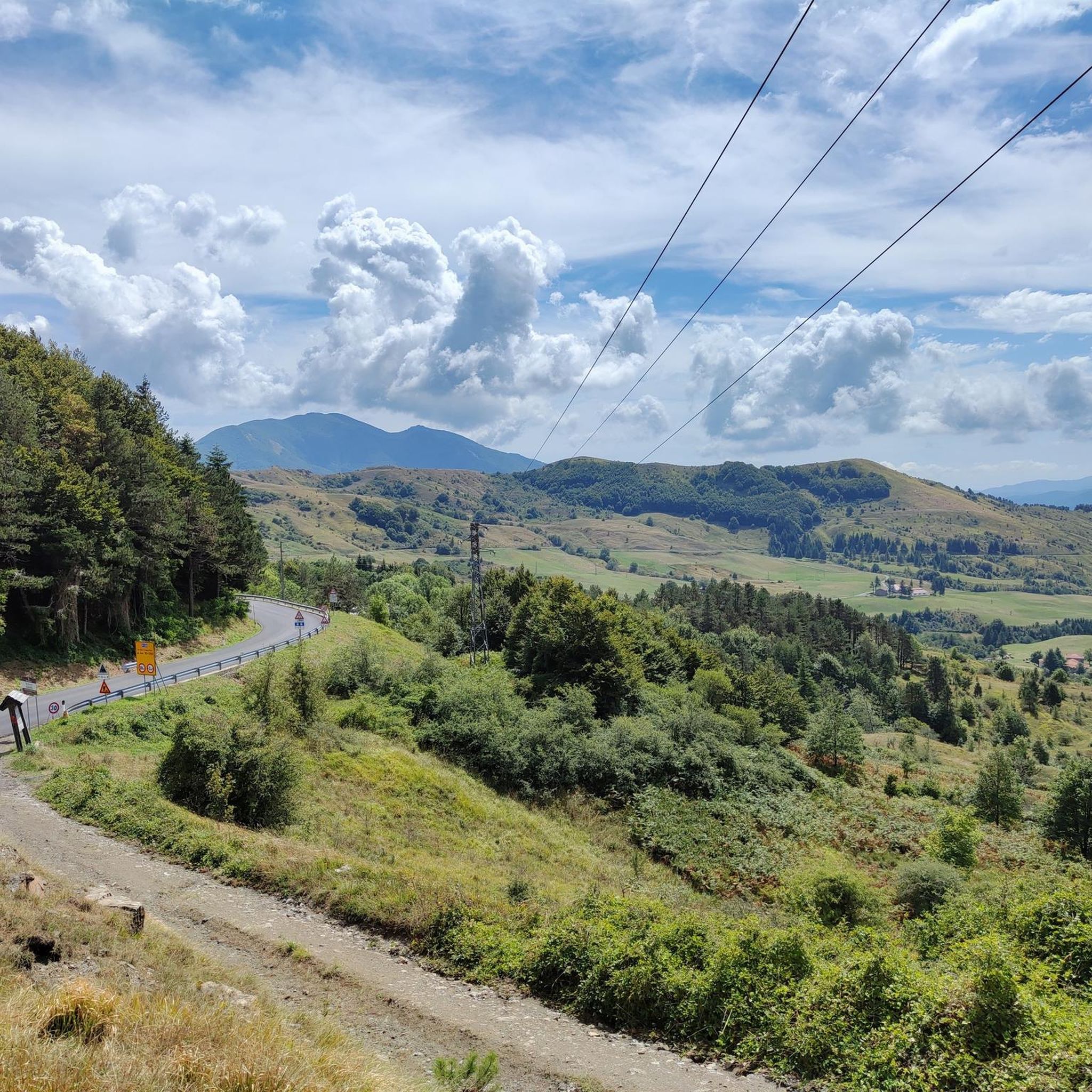
해발 1,452m에 위치한 아펜니노 리구레 고개는 자동차로 접근할 수 있으며, 다양한 하이킹 트레일이 갈라지는 교차로입니다.
0
0

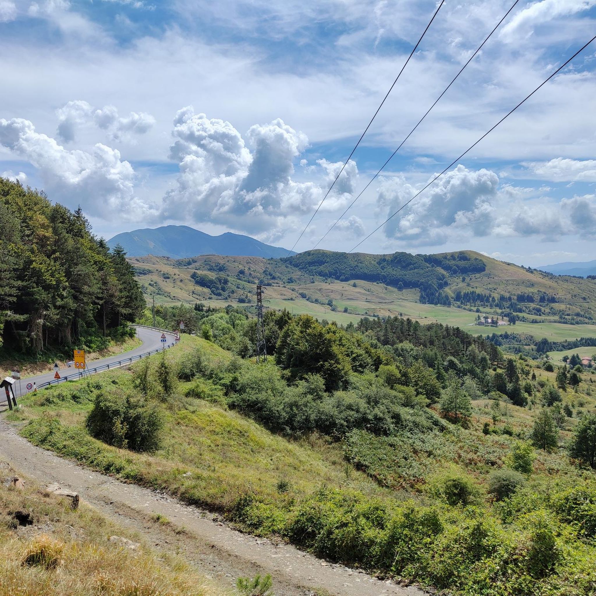
Cappelletta 고개(해발 1.085m)는 에밀리아-로마냐(파르마/피아첸차 현)와 리구리아의 경계에 위치한 인상적인 아펜니노 산맥의 고개입니다. 웅장한 풍력 터빈과 몬테 고테로(Monte Gottero)의 근접성으로 유명합니다.
0
0
MTB를 타고 Moo 호수로 향하고 있다면, 장난은 이제 그만하고 자갈길 오르막을 시작할 시간입니다… 😉
0
0


Update September 2025: Fieschi Castle is temporarily closed for renovations
0
0

Situated at 717 meters above sea level, Santa Maria del Taro is a hamlet in the municipality of Tornolo (province of Parma), nestled in the heart of the Northern Apennines, near the border between Emilia and Liguria. Since the early Middle Ages, its strategic position along the ancient ridge road connecting the sea to the Po Valley has made it a transit and trade center, as well as a military and commercial control point. The name itself recalls the religious devotion that has permeated the town for centuries: the church-sanctuary dedicated to the Nativity of Mary, rebuilt in neoclassical style between 1807 and 1834, stands on an older structure and has been the spiritual center of the upper Taro Valley for centuries. The building, with its broad façade and stone bell tower, preserves a deep devotional tradition that is still alive. A short walk from the center is the Ponte dei Priori, a medieval humpbacked stone structure that once served as the only permanent access to the valley and symbolically marked the passage between the lands of the Malaspina and Fieschi families, two powerful feudal families of the Apennines. Over the centuries, Santa Maria del Taro has maintained an identity suspended between Emilian and Ligurian culture, evident in the features of its rural architecture, local dialects, and popular customs.
0
0
Situated at 956 meters between the Vara and Aveto Valleys, the Bocco Pass is one of the historic passes of the Ligurian Apennines, used since ancient times as a connection between the Tyrrhenian coast and the Po Valley hinterland. Already in Roman times, it was part of a secondary transit network, but it was especially in the Middle Ages and modern times that the pass assumed a central role in local traffic: a route for merchants, shepherds, and pilgrims, it connected Chiavari and the Riviera with Varese Ligure and the Emilian plains. Traces of the ancient paving are still visible today in the surrounding woods. During the Second World War, the area served as a refuge for partisan groups, thanks to its secluded location and dense forest cover. Today, the pass is a destination for cyclists and hikers, immersed in an unspoiled mountain landscape of beech and fir forests and highland meadows, at the gateway to the Aveto Regional Natural Park.
0
0
바레세 리구레 주변에서 가장 인기 있는 명소


더 살펴보기
다른 지역의 최고의 로드 사이클링 경로를 살펴보세요.
