트루엔 최고의 라이딩 경로
4.7
(348)
3,644
자전거 타는 사람
20
라이딩
트루엔의 로드 사이클링 경로를 찾으시나요? 그렇다면 트루엔 로드 라이딩 컬렉션 중에서 가장 멋진 라이딩 장소를 아래에서 살펴보세요.
마지막 업데이트: 10월 25, 2026
4.0
(5)
69
자전거 타는 사람
57.2km
02:40
700m
700m
보통 도로 자전거 타기. 좋은 체력 필요. 지면 대부분이 잘 포장되어 있고 라이딩하기 쉬움.
29
자전거 타는 사람
154km
07:39
2,400m
2,400m
어려운 도로 자전거 타기. 우수한 체력 필요. 투어 중 라이딩하기 어려운 비포장 구간이 있을 수 있음.

4.8
(12)
46
자전거 타는 사람
34.9km
01:36
370m
370m
보통 도로 자전거 타기. 좋은 체력 필요. 지면 대부분이 잘 포장되어 있고 라이딩하기 쉬움.
12
자전거 타는 사람
119km
06:01
1,940m
1,940m
어려운 도로 자전거 타기. 우수한 체력 필요. 투어 중 라이딩하기 어려운 비포장 구간이 있을 수 있음.
7
자전거 타는 사람
43.1km
02:10
560m
560m
보통 도로 자전거 타기. 좋은 체력 필요. 지면 대부분이 잘 포장되어 있고 라이딩하기 쉬움.
더 다양한 경로와 다른 탐험가들의 추천을 살펴보세요.
이미 komoot 계정이 있나요?
투어 추천은 다른 사람들이 komoot에서 완료한 수천 개의 활동을 바탕으로 구성되어 있습니다.
오늘 무료 계정으로 시작하세요
다음 모험이 기다리고 있어요.

커뮤니티 팁


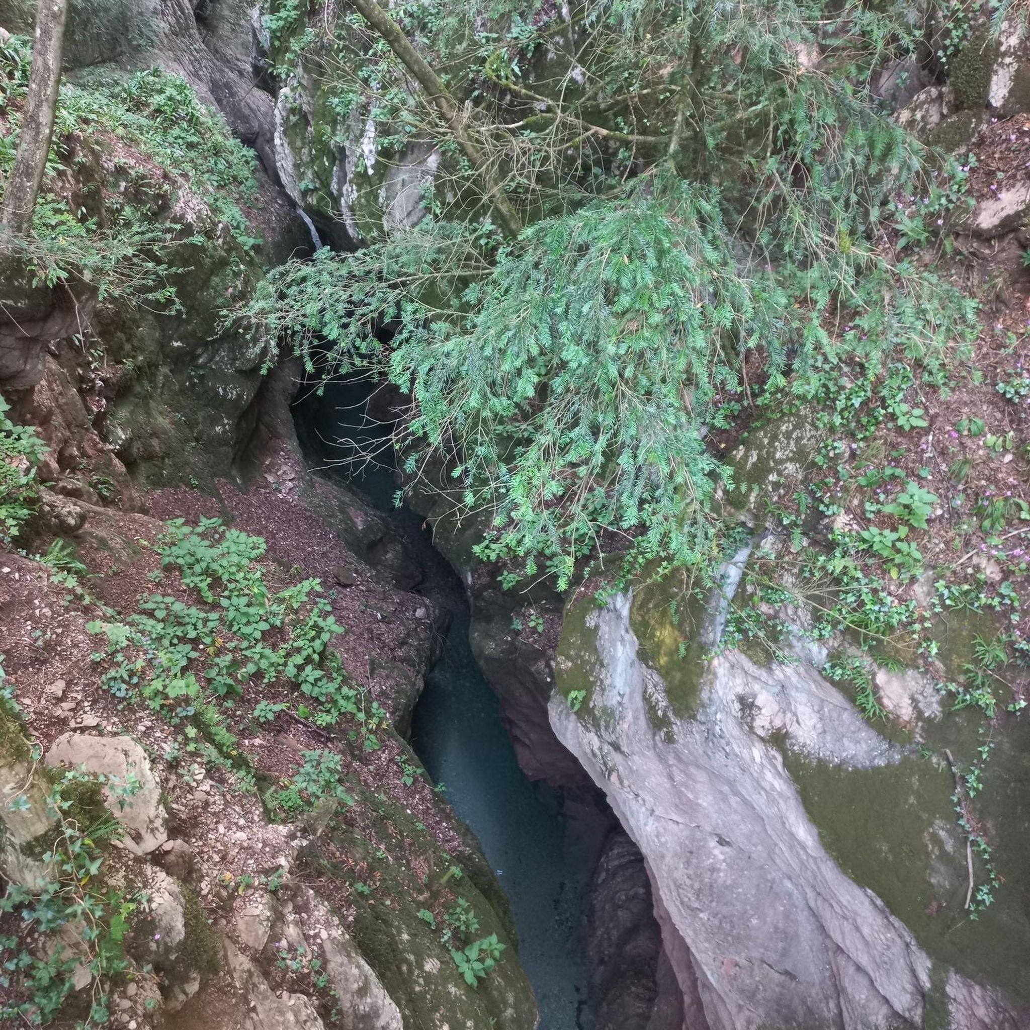
Pöhl 댐의 인상적인 차단벽은 진정한 하이라이트이며 위에서나 아래에서나 감탄을 자아냅니다 💪. 댐을 건널 때 호수에 대한 광활하고 거의 끝없이 보이는 전망이 펼쳐지며, 다른 한편으로는 계곡이 깊게 내려다보입니다 – 멋진 대조입니다!
7
0

Here the two largest rivers of the Vogtland region merge.
0
0

With every step, closer to the summit – the Fichtelberg climb on the Stoneman Miriquidi Road. From the intersection, it's not far anymore, and motivation gets a final boost.
1
0

The first weather observer on this summit was the innkeeper of the Fichtelberghaus. He recorded his weather observations from 1890 onwards, but from 1898 onwards only intermittently, and from 1910 onwards not at all. The head of the Royal Saxon State Meteorological Observatory, Paul Schreiber, suggested the construction of a permanent weather observatory. Temperature, wind speed, and precipitation amounts have been continuously recorded here since January 1, 1916. The strongest storm recorded here was on January 3, 1976, with a peak gust speed of 216 kilometers per hour. The coldest day on the summit was February 9, 1956, with minus 30.4 degrees Celsius; the warmest was July 27, 1983, with plus 30.8 degrees Celsius. The highest snow cover was measured in March 1944: 3.35 meters. The year 1951 was bad for Fichtelberg tourists: it held the record for foggy days with 315.
13
1

Dam circuit: if you're there, definitely do it. The scenery, the profile, the road surface—everything is top-notch.
0
0

This road takes you along a well-paved road over the ridge and through the forest. If you're carrying the momentum downhill, you'll need to be careful at the junction, as it changes to firm, light gravel for about 300m. After that, there's a barrier. At the next village entrance, there's a constant layer of gravel. In the village of Lange, you can easily bypass the construction site on the left.
0
0


더 살펴보기
다른 지역의 최고의 로드 사이클링 경로를 살펴보세요.
