파스투로 최고의 사이클링 경로
4.5
(940)
14,868
자전거 타는 사람
10
라이딩
파스투로 최고의 사이클링 경로를 따라 지역을 둘러볼까요? 파스투로에서 가장 멋진 자전거 라이딩 장소 중에서 가장 마음에 드는 라이딩을 선택해보세요.
마지막 업데이트: 10월 11, 2026
5.0
(6)
155
자전거 타는 사람
30.2km
02:47
1,120m
1,120m
어려운 자전거 타기. 우수한 체력 필요. 투어 중 자전거를 끌고 가야 하는 구간이 있을 수 있음.
94
자전거 타는 사람
30.0km
02:17
770m
770m
어려운 자전거 타기. 우수한 체력 필요. 대부분 포장된 지면. 실력과 관계없이 누구나 갈 수 있음.

5.0
(2)
92
자전거 타는 사람
56.9km
04:20
1,420m
1,420m
어려운 자전거 타기. 우수한 체력 필요. 대부분 포장된 지면. 실력과 관계없이 누구나 갈 수 있음.
4.6
(5)
92
자전거 타는 사람
28.3km
02:31
880m
880m
어려운 자전거 타기. 우수한 체력 필요. 대부분 포장된 지면. 실력과 관계없이 누구나 갈 수 있음.
5.0
(4)
135
자전거 타는 사람
56.4km
04:05
1,210m
1,210m
어려운 자전거 타기. 우수한 체력 필요. 대부분 포장된 지면. 실력과 관계없이 누구나 갈 수 있음.
더 다양한 경로와 다른 탐험가들의 추천을 살펴보세요.
이미 komoot 계정이 있나요?
투어 추천은 다른 사람들이 komoot에서 완료한 수천 개의 활동을 바탕으로 구성되어 있습니다.
오늘 무료 계정으로 시작하세요
다음 모험이 기다리고 있어요.
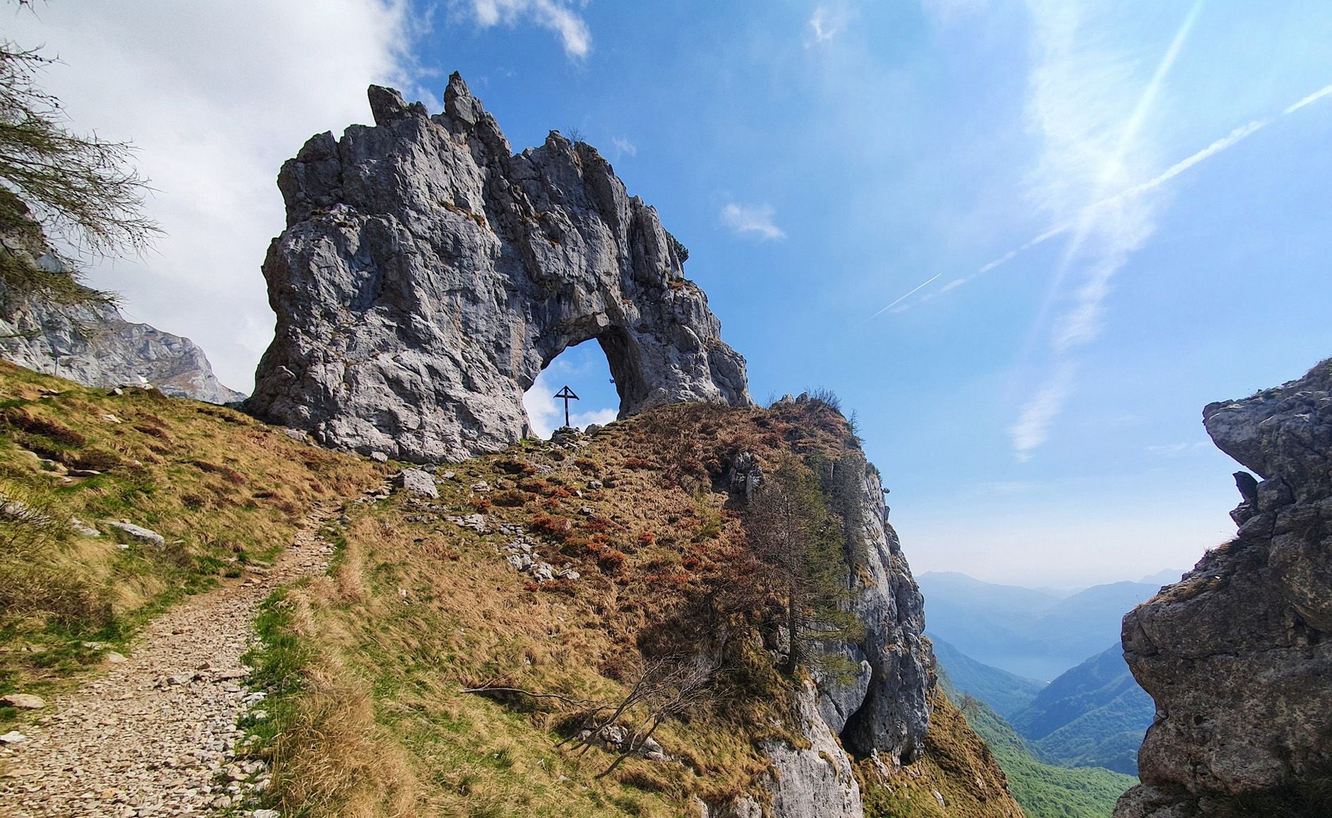
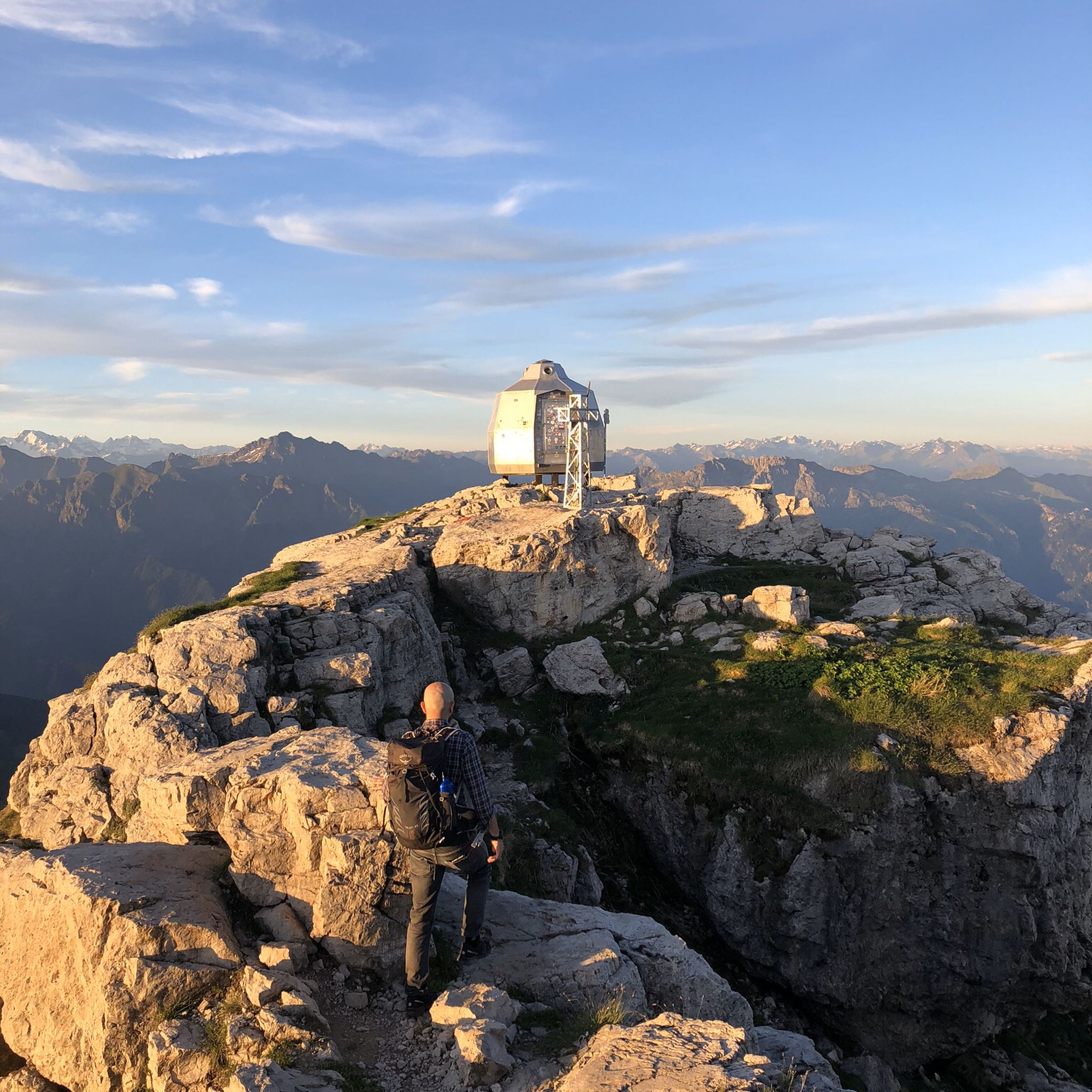
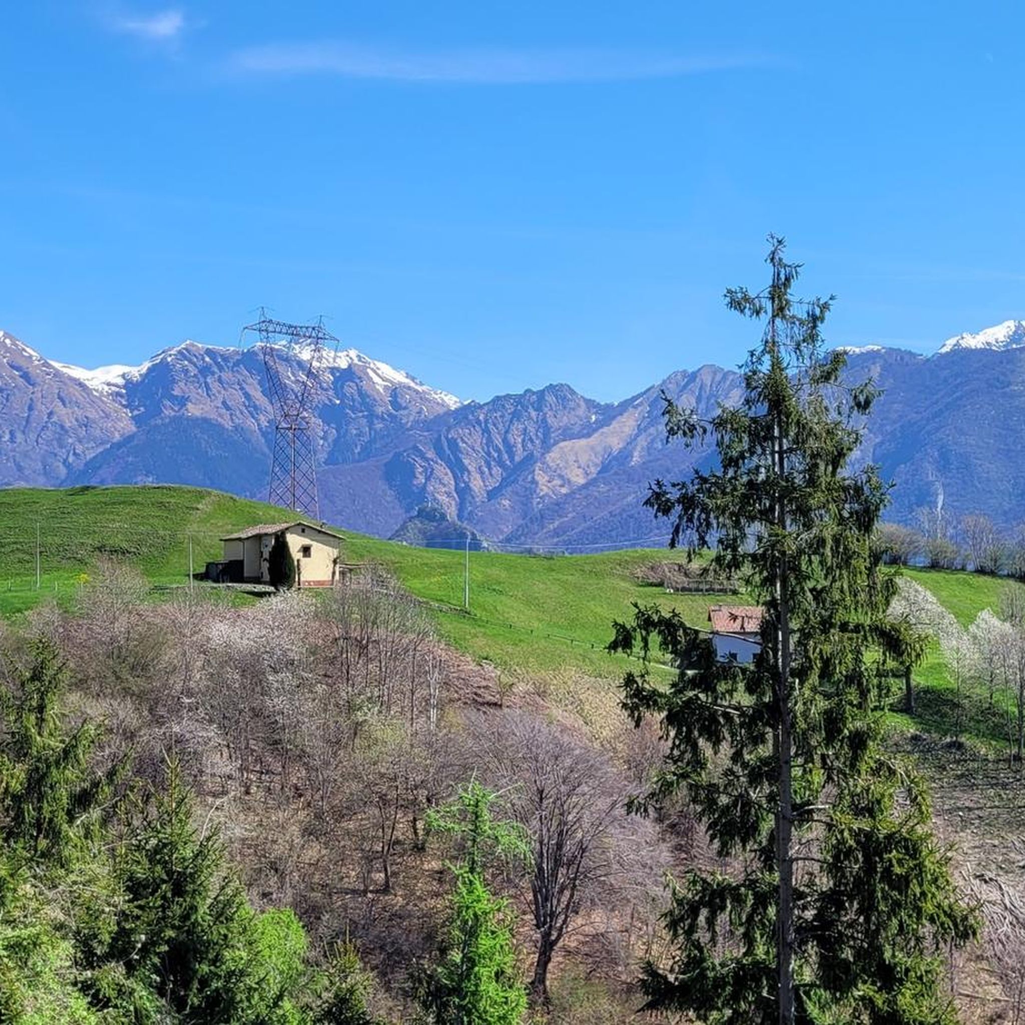

파스투로 주변의 다른 모험

커뮤니티 팁


발사시나 자전거-보행자 도로는 레코(Lecco) 현의 바르지오(Barzio)와 타체노(Taceno) 마을을 연결하는 완전히 포장된 자전거-보행자 경로입니다. 이 경로는 약 13.4km(왕복 약 26km) 동안 계곡 바닥을 따라 이어지며, 피오베르나(Pioverna) 강을 끼고 그리니(Grigne) 산과 주변 산들의 멋진 풍경을 제공합니다.
1
0
발사시나 자전거-보행자 도로는 레코(Lecco) 현의 바르치오(Barzio)와 타체노(Taceno) 마을을 연결하는 전적으로 포장된 자전거-보행자 경로입니다. 이 경로는 약 13.4킬로미터(왕복 약 26km) 동안 계곡 바닥을 따라 이어지며, 피오베르나(Pioverna) 개울 옆을 지나 그리냐(Grigna) 산과 주변 산들의 멋진 전망을 제공합니다.
0
0


더 살펴보기
다른 지역의 최고의 자전거 경로를 살펴보세요.
