경로

플래너

기능

업데이트

App

로그인 또는 가입

앱 다운로드

로그인 또는 가입

로그인 또는 가입

경로
Places to see
이탈리아
롬바르디아
브레시아

세토

20의 세토가지 명소 & 주요 장소


세토에는 둘러볼 만한 장소가 많답니다. 하이킹 또는 사이클링을 좋아한다면 세토에 숨겨진 20
가지 보석을 만날 수 있을 거예요. 이 지역의 주요 명소를 살펴보면서 다음 모험을 계획해보세요.

마지막 업데이트: 5월 25, 2026

리푸지오 캄피오네

하이라이트 • 산장

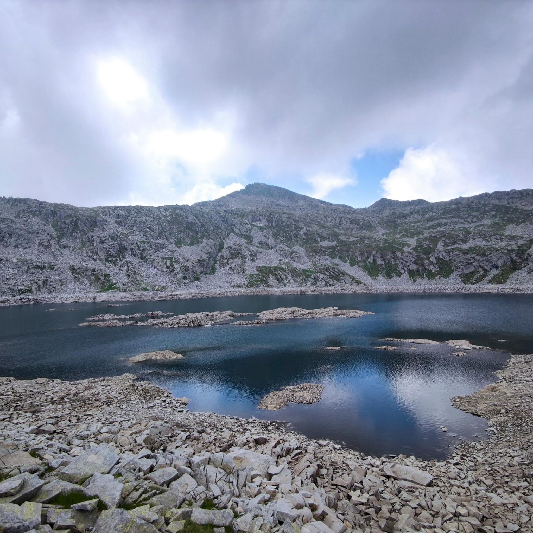
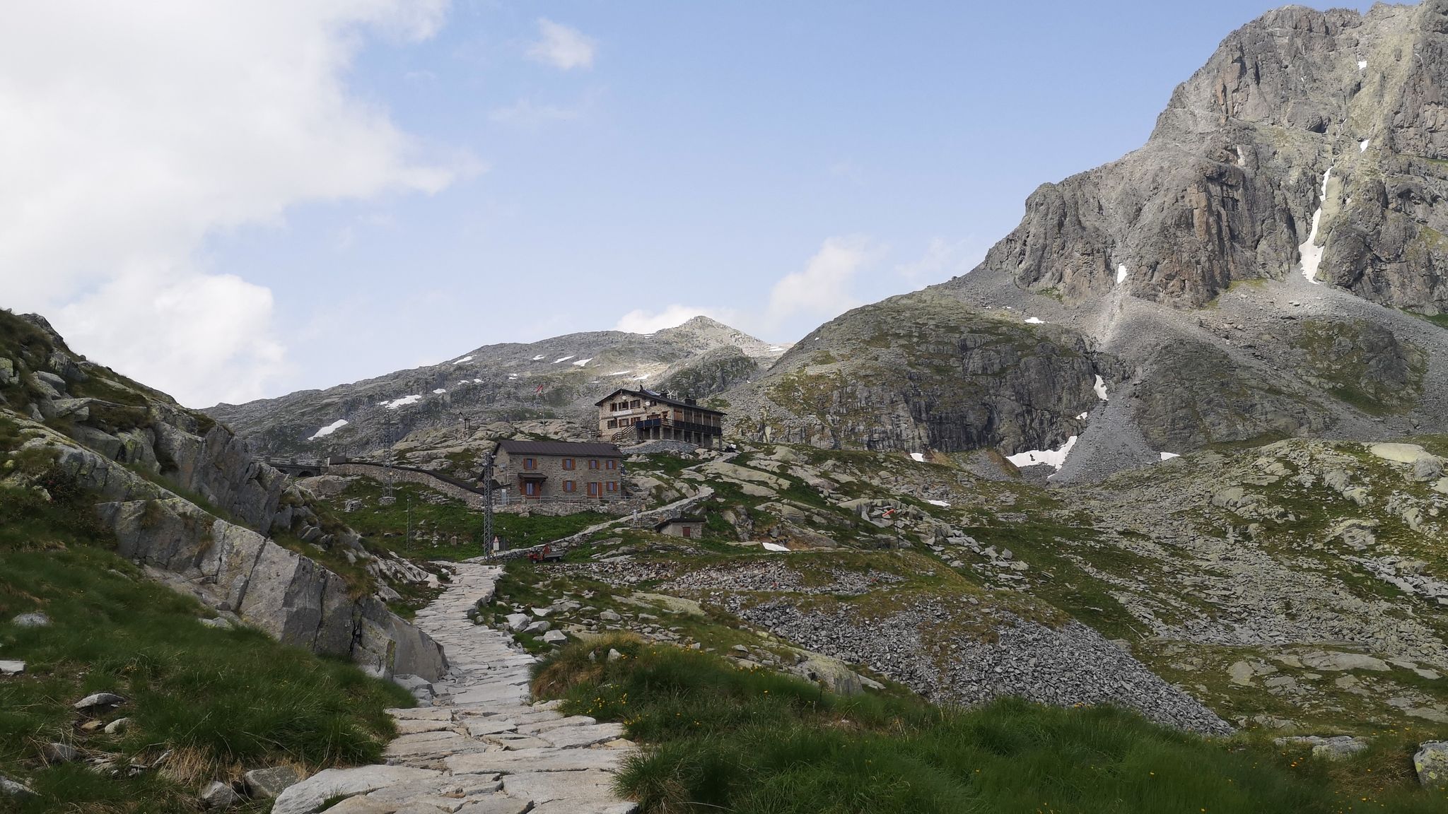
The Campione refuge is located at 1,950 meters above sea level in the municipality of Cerveno, in the province of Brescia. It can be reached from Ono San Pietro in …

번역자 Google •

에 의해

하이킹 보기

휴대폰으로 전송

저장

캄펠리 고개

하이라이트 • 산악 고개

The Campelli pass is at 1,889 meters above sea level and dominates the view of the Scalve valley and the Camonica valley. The refuge can be reached in approximately 1 …

번역자 Google •

에 의해

저장

이런 장소를 발견하려면 지금 가입하세요

최고의 싱글 트랙, 봉우리 및 다양한 흥미로운 야외 장소에 대한 추천을 받아보세요.

무료 회원 가입

크로체도미니 고개

하이라이트 • 산악 고개

The Crocedòmini pass is an alpine pass of the Brescia Prealps located in the province of Brescia at 1892 m. s.l.m. south of the Adamello park

번역자 Google •

에 의해

저장

콜롬베 산장

하이라이트 • 산장

Rifugio Colombè, at 1,720 m, is located in Valcamonica and offers typical local cuisine and hospitality in a family atmosphere. Overnight stays are also possible with 37 beds. Starting point …

번역자 Google •

에 의해

저장

리푸지오 치타 디 리소네

하이라이트 • 산장

The Città di Lissone refuge is located at an altitude of 2,020 metres, at the foot of the Adamello, in the Adamè Valley. Near the refuge there is an artificial …

번역자 Google •

에 의해

저장

무료로 가입하여 세토 주변의 더 많은 명소를 발견하세요.

무료 회원 가입

이미 komoot 계정이 있나요?

오늘 무료 계정으로 시작하세요

다음 모험이 기다리고 있어요.
로그인 또는 가입하기

세토 주변 인기 장소

클래식 알프스 교차로부터 멀리 - L1 가르미쉬에서 브레시아까지

경로 1번 따라 - Alta Via dell'Adamello

세토 하이킹

세토 사이클링

세토 로드 사이클링 경로

세토 MTB 트레일

세토 주변 그래블 라이딩

세토 러닝 트레일

세토 등산

세토 주변의 다른 모험

클래식 알프스 교차로부터 멀리 - L1 가르미쉬에서 브레시아까지

하이킹 컬렉션 에 의해

Mareike

커뮤니티 팁

The Silent Walker
4월 3, 2026, Rifugio Colombé

Rifugio Colombé는 Paspardo(Valcamonica) 위의 매우 인기 있는 산장으로, 쉽게 접근할 수 있으며 탁 트인 전망을 즐길 수 있는 하이킹에 완벽합니다. 해발 1710m에 위치하며 Monte Colombé, Passo della Porta, Lago d’Arno 및 암각화 지역으로 가는 수많은 경로로 연결됩니다. 📍 위치 - 지역: Monte Colombé, Paspardo (BS) - 좌표: 46.04454 N, 10.38432 E - 유용한 주소: Via Zumella, Paspardo (가장 일반적인 출발점) 🥾 가는 방법 Paspardo에서 출발 – CAI 경로 117 / 127 - 출발: Via Zumella – Centro Faunistico del Parco dell’Adamello (1100m) - 도착: Rifugio Colombé (1710–1850m, 출처에 따라 다름) - 고도차: ~750m - 소요 시간: 1시간 40분 – 2시간 30분 - 난이도: E (하이킹) 경로는 잘 표시되어 있으며 숲으로 시작하여 Valcamonica가 내려다보이는 탁 트인 초원으로 이어집니다. Cimbergo에서 출발 - 소요 시간: ~3시간 - 고도차: ~850m 🏔️ 주변 볼거리 및 즐길 거리 - Monte Colombé - Cima Barbignaga (2367m) - Passo della Porta (Lago d’Arno로 가는 연결로) - Corno delle Pile (2899m) - Pizzo Badile Camuno (2435m) - Parco dell’Adamello 암각화 유적지 🛖 산장 정보 - 관리인: Massimo Alessandria - 전화번호: 366 503 3070 - 이메일: info@rifugiocolombe.it / massimo@rifugiocolombe.it - 침대 수: 35–37 - 식사 공간: 약 90석 (내부) + 50석 (외부) - 운영 시간: 종종 요청 시 (항상 확인 필요) - 하프 보드: 55–60 € 산장은 다음으로 유명합니다: - 가정식 요리 - 따뜻한 환대 - Valcamonica가 내려다보이는 멋진 파노라마 테라스

번역: Google

0

0

The Campelli Pass is an Alpine pass at approximately 1,892 meters above sea level that connects the Scalve Valley (province of Bergamo) with the Camonica Valley (province of Brescia). It is a popular hiking destination for its scenic beauty and the variety of available itineraries. 🏔️ Main Features Location: Between Schilpario (BG) and Cerveno (BS) Elevation: approximately 1,892 m View: Spectacular view of Cimon della Bagozza and the Piccole Dolomiti Scalvine Access: From Schilpario – Fondi: winter route for snowshoeing or ski mountaineering From Schilpario – Baracca Rossa: shorter and more scenic summer route From Ono San Pietro (BS): longer and more challenging route 🚶‍♂️ Recommended Activities Summer Hiking: Well-marked trails, also suitable for families Winter Snowshoeing: Safe and picturesque itineraries in the snow Mountain Biking: Technical and scenic routes, with stops at the Campione Refuge and Campelli Lake 📍 Nearby Points of Interest Campione Refuge: Not far from the pass, offers refreshments and overnight accommodations Campelli Lake Campelli: a small Alpine lake, ideal for a break Madonnina dei Campelli: a panoramic and spiritual point along the route

번역: Google

0

0

The Rifugio Città di Lissone is located at 2,020 meters above sea level, in the heart of the Adamè Valley, in the Adamello Regional Park, in the municipality of Saviore dell’Adamello (BS). It is a much-loved destination for hikers, families and mountaineers, thanks to its spectacular location at the foot of the Adamello and the ease of access from Malga Lincino (about 1 hour's walk, 400 m of altitude difference). Originally an ENEL building, it was used as a barracks during the White War and transformed into a refuge by the CAI of Lissone in the 1970s. After a fire in 1986, it was rebuilt and reopened in 1991. Today it offers 70 beds, cuisine with local products (including from nearby Malga Adamè), and a warm welcome from the managers, both ski mountaineering instructors. The refuge is a starting point for: excursions towards Corno di Grevo (also via ferrata), crossings towards Rifugio Baita Adamè, historical explorations along the paths of the Great War.

번역: Google

0

0

Rifugio Colombè, at 1,720 m, is located in Valcamonica and offers typical local cuisine and hospitality in a family atmosphere. Overnight stays are also possible with 37 beds. Starting point for excursions to Monte Colombè and Concarena, with a view of the Adamello group and Pizzo Badile Camuno. To check opening times, visit the refuge page: https://www.facebook.com/p/Rifugio-Colombé-100088546332468/

번역: Google

1

0

View of Concarena from Colombé

번역: Google

0

0

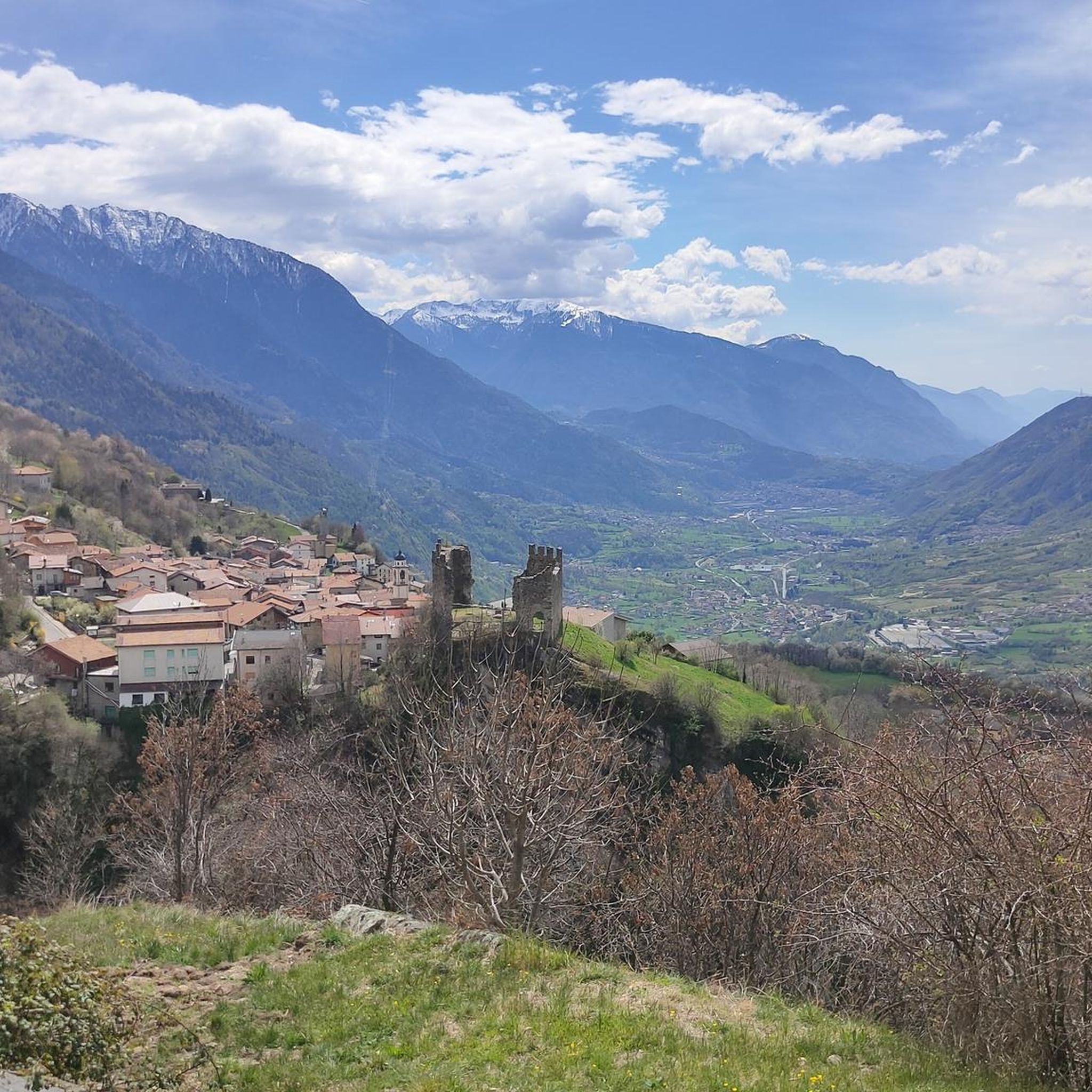
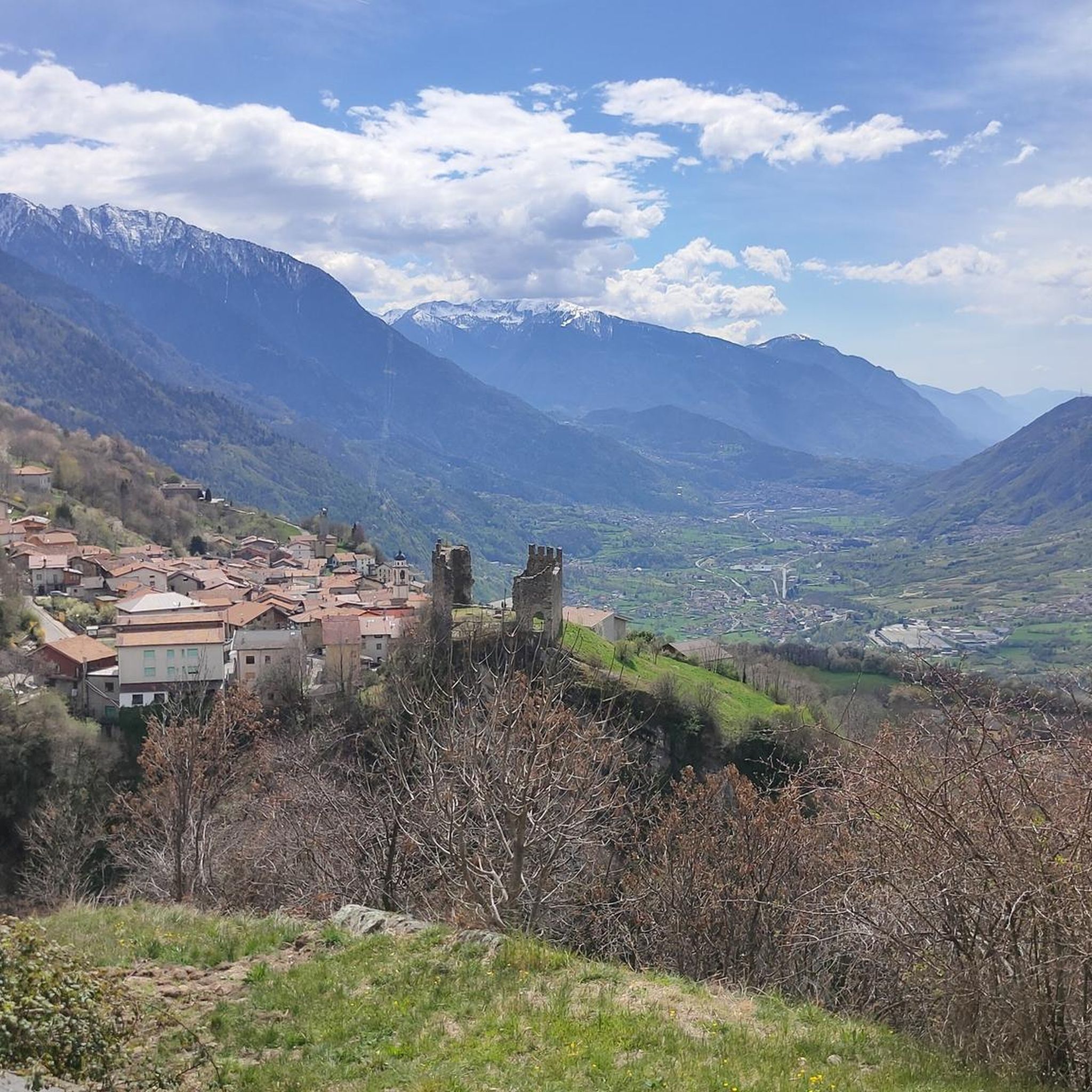
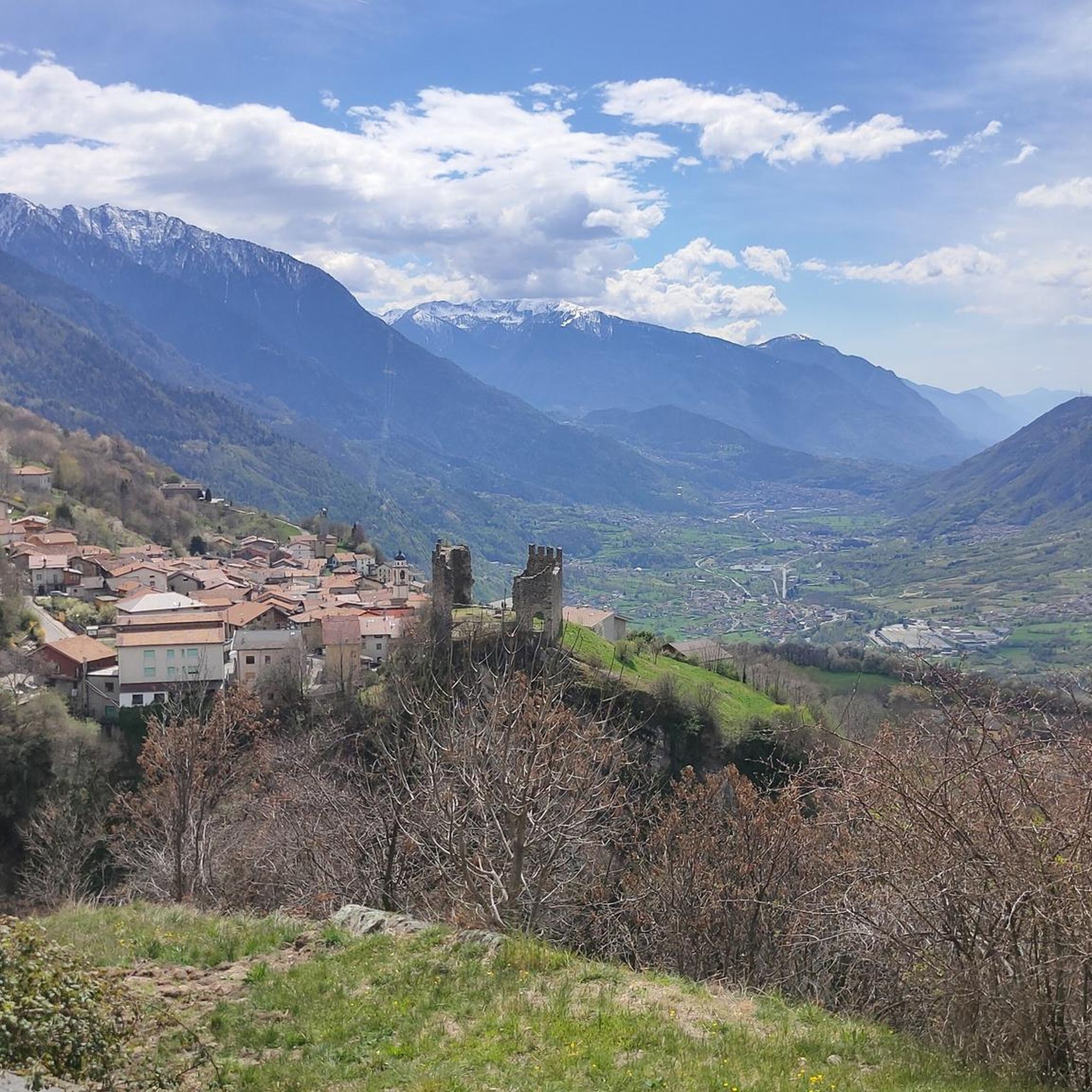
Splendid view of Cimon Bagozza, Scalve Valley and Valcamonica

번역: Google

0

2

The refuge is located at 1940m, on the border between Val Camonica and Val di Scalve. Amazing cuisine with typical dishes and homemade desserts.

번역: Google

0

0

Spectacular view and excellent cuisine with truly friendly staff.

번역: Google

0

0

세토 주변에서 가장 인기 있는 경로

세토 하이킹

세토 주변에서 가장 인기 있는 명소

Natural Monuments

Store rating

komoot 모바일 앱으로 영감을 받아보세요

무료 komoot 계정로 끝없는 야외 모험을 손쉽게 찾고, 맞춤 설정하며 길안내할 수 있어요.

또는

지금 komoot에 가입하세요

Store rating

더 살펴보기

찾고 있는 하이라이트를 아직 못 찾으셨나요? 다른 지역의 주요 명소 가이드를 확인해보세요:

피소뉴몬테 이솔라마론세일 마라시노타베르놀 술 멜라보르노앙골로 테르메피안 카무노트레모신 술 가르다피안코노마르체노리모네 술 가르다가르돈 발 트롬피아술자노파이스코 로베노마가사밸브스티노페짜즈아르토뉴티그날레사레초폴라베노오시모로치오가르냐노보르고 산 자코모다르포 보아리오 테르메오르지누오비폰테 디 레뇨데센자노 델 가르다보바르노살로소이아노 델 라고폴페나제 델 가르다보베뇨시르미오네토스콜라노-마데르노파스파르도파뎅게 술 가르다포졸렝고카포발레모니가 델 가르다로나토 델 가르다빌라키아라빌라 카르시나이서가르도네 리비에라마네르바 델 가르다체르베노바골리노로에 볼치아노브레노트레비소 브레시아노로드리노푸에나고 술 가르다빌라누오바 술 클리시로신비엔노머스코린이드로파라티코이르마산 펠리체 델 베나코코르테 프랑카브리오네프로바글리오 디세오몬티첼리 브루사티오메마르멘티노파시라노칼바지스 델라 리비에라프로바글리오 발 사비아안포구사고테무브라오네베르조 데모세보니아르도퀸자노 돌리오가바르도사비오 치즈세데골로라베논보티치노양보침베르고아드로에신페르티카 알타론카델카스테냐토오스피탈레토루메잔셀라티카산파올로콜리오로덴고-사이아노트라바글리아토토르볼레 카사글리아마자노팔라졸로 술올리오누볼레라비오네카자고 산 마르티노비오네베스톤보베초카스토말레뇨베르조 인페리오레레자또파르코 지역 델'아다멜로카이노카스텔 멜라페르티카 바사콜레비토세를레본당오노 산 피에트로칼시나토코르테노 골지시비데이트 카무노게디카프리올로오르지베키카스테네돌로구세주 델아다멜로파데르노 프란치아코르타바르게지아니코폰카라레파이톤프레슬리몬티로네말로노플레로로바토폼피아노산 제노 나빌리오무라보르고사톨로쾰른프레발레카프리아노 델 콜레폰톨리오소니코베짜 돌리오베디졸아자노 멜라Comezzano-Cizzago누볼렌토몬티치아리인쿠딘에도로코칼리오카포 디 폰테로그라토오돌로아그노신베를린고에르부스코셀레로로카프랑카발리오 테르메트렌자노모노키아리코르자노베로라베키아마네르비오마클로디오델로바르바리가베로라누오바카스텔코바티폰테비코루디아노오프라가바뇰로 멜라바사노 브레시아노디드로 호수우라고 도글리오카스트레자토카르페네돌로Parco naturale dell'Alto 가르다 브레시아노레노브랜디코마이라노산 게르바시오 브레시아노세니가알피아넬로롱헤나시골프랄보이노밀자노파르코 델레 콜린 디 브레시아파본 델 멜라감바라피에세피우메 멜라Monumento Naturale Altopiano Di Cariadeghe고톨렝고칼비사노이소렐라Riserva Naturale Torbiere Del Sebino레메델로비사노아쿠아프레다밸브스티노 호수Parco Delle Cave Di Buffalora E San PoloParco Agricolo Regionale Del Montenetto

근처 어드벤처 가이드

침베르고 즐길거리

background

새로운 정복을 위한 준비를 하세요

무료로 가입하기

탐험하기
경로경로 플래너기능하이킹MTB 트레일로드 사이클링 경로바이크패킹사이트맵
앱 다운로드
소셜 미디어에서 팔로우하기

© komoot GmbH

개인 정보 보호 정책