경로

플래너

기능

업데이트

App

로그인 또는 가입

앱 다운로드

로그인 또는 가입

경로
Places to see
Lakes
이탈리아
롬바르디아
손드리오

란자다

란자다‬에서 가장 멋진 ‪20‬개의 호수

란자다에서 가장 멋진 호수를 방문하고 싶나요? 호숫가의 고요한 분위기를 느끼거나 날씨가 따뜻한 날 호수에 발을 살짝 담글 수 있다면 얼마나 좋을까요? Komoot 커뮤니티가 추천한 란자다의 주요 호수를 아래에서 살펴보고, 다음 모험 때 직접 찾아가보세요!

마지막 업데이트: 8월 31, 2026

라고 비앙코

하이라이트 • 호수

Lago Bianco, Bernina Pass at 2234 meters
The Lago Bianco is a reservoir at the Bernina Pass and is located in the area of the municipalities of Pontresina and Poschiavo. …

번역자 Google •

에 의해

라이딩 보기

휴대폰으로 전송

저장

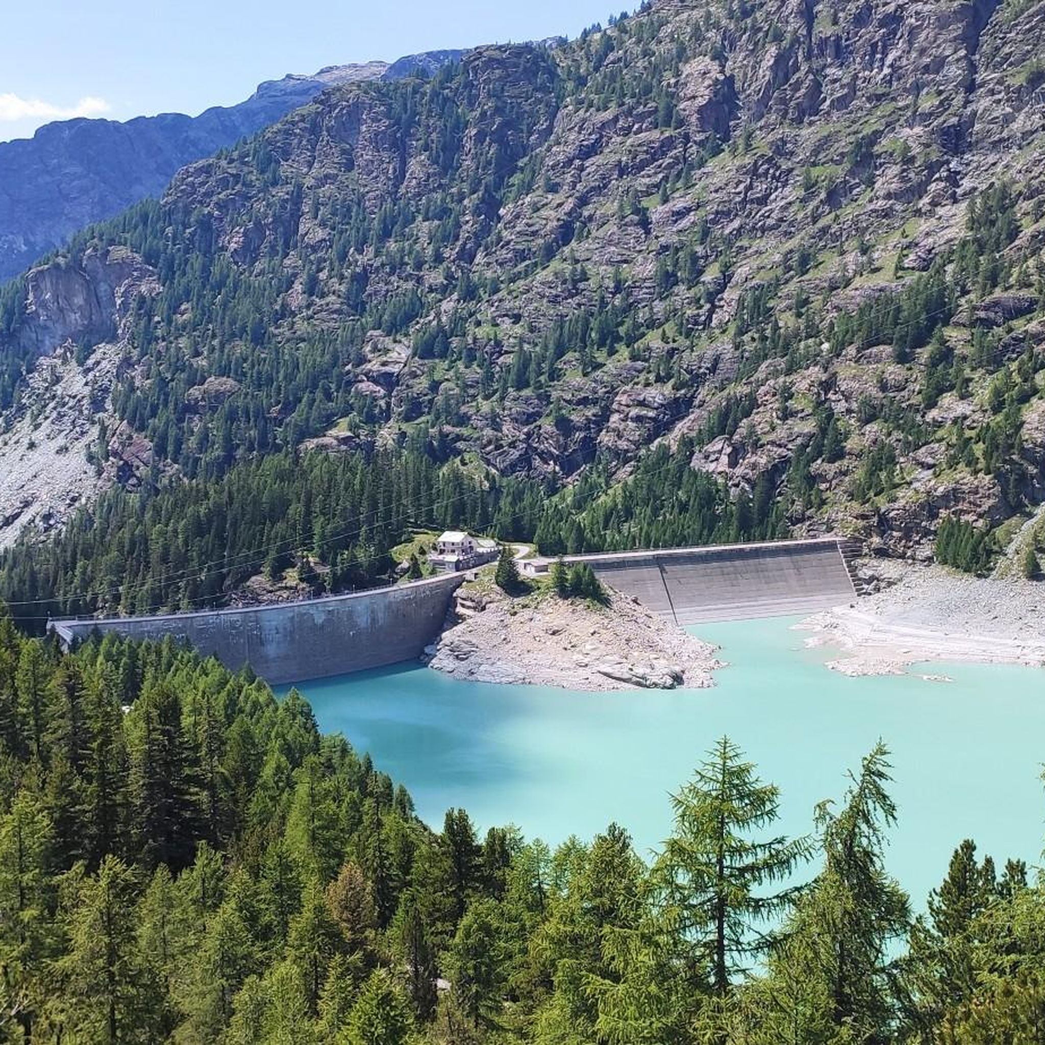
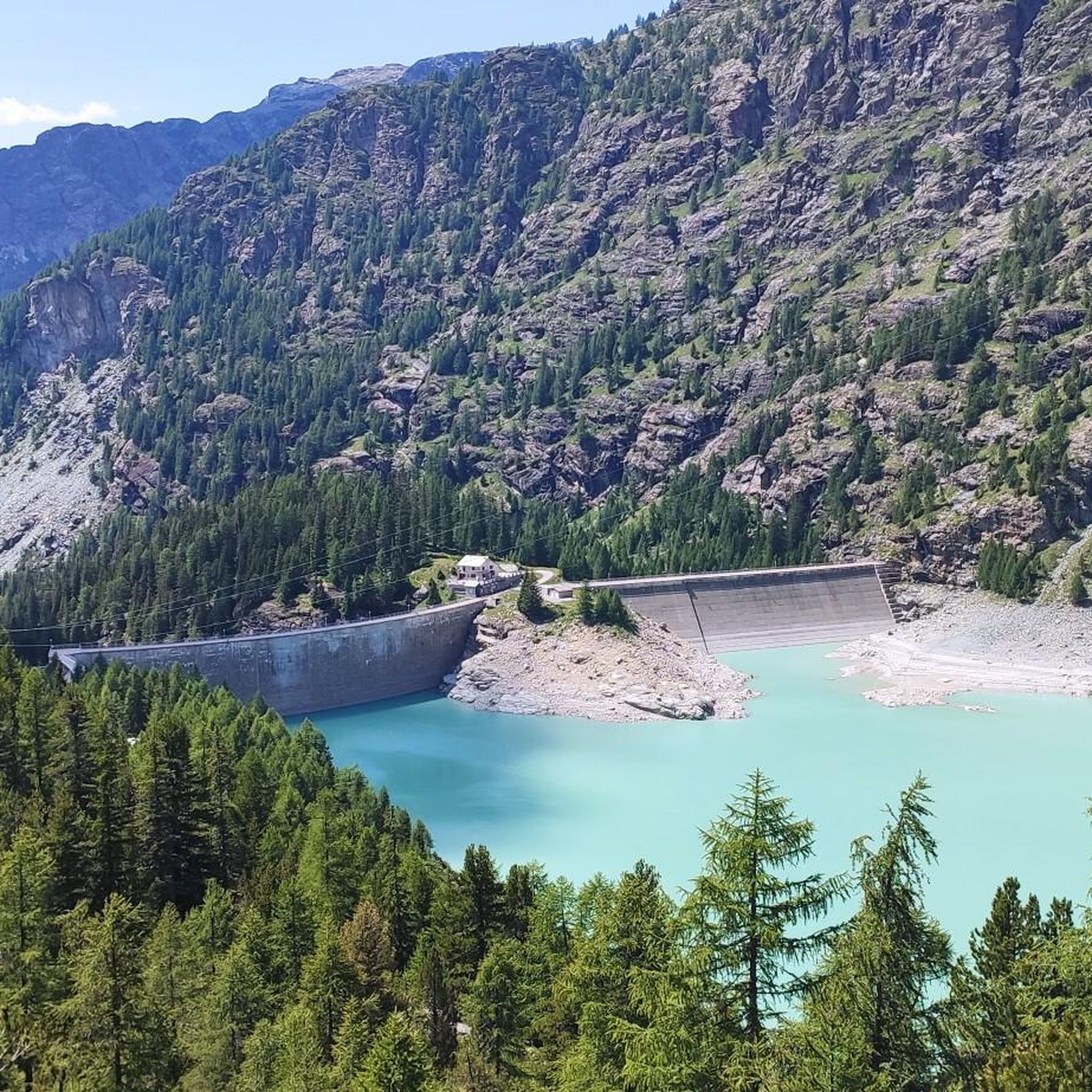
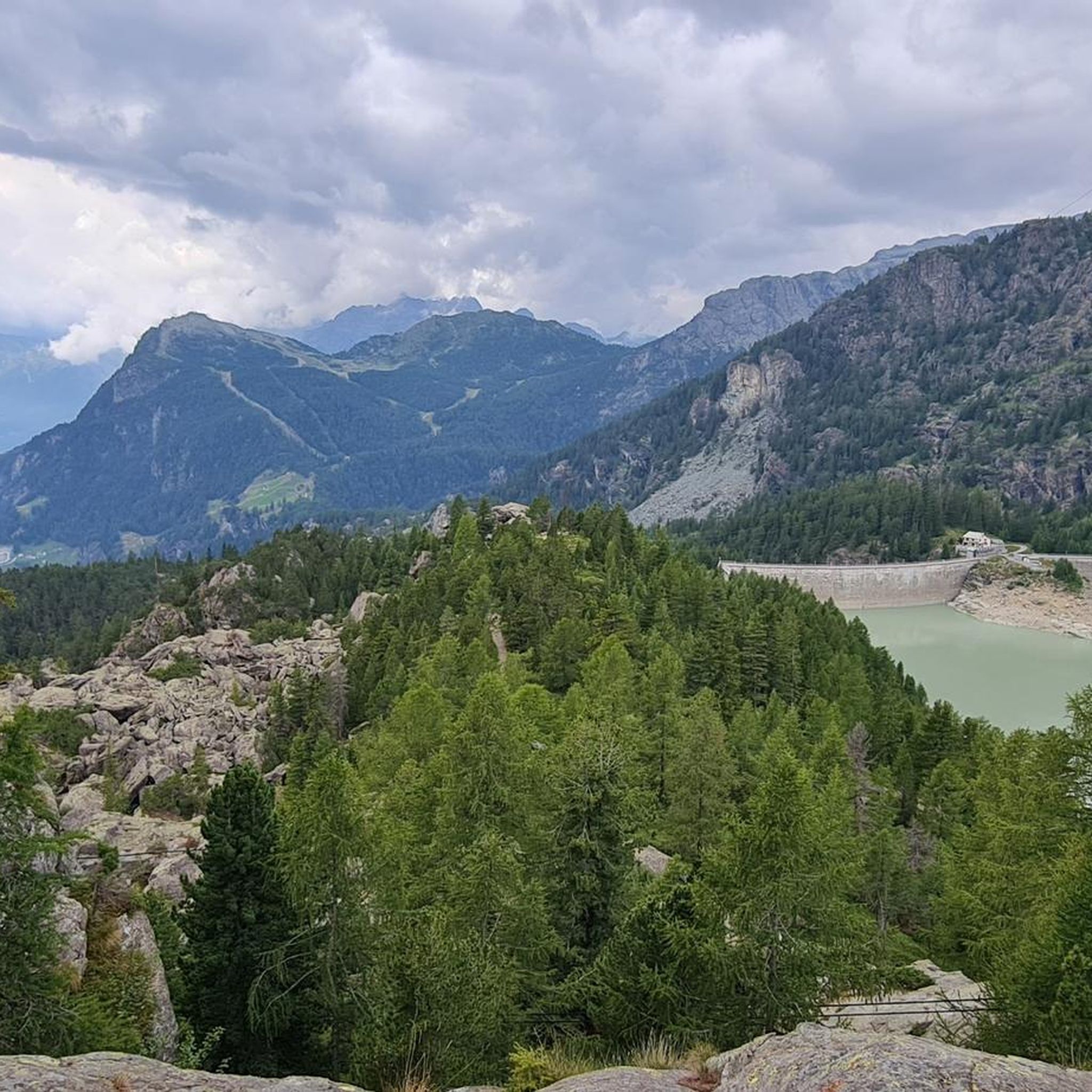
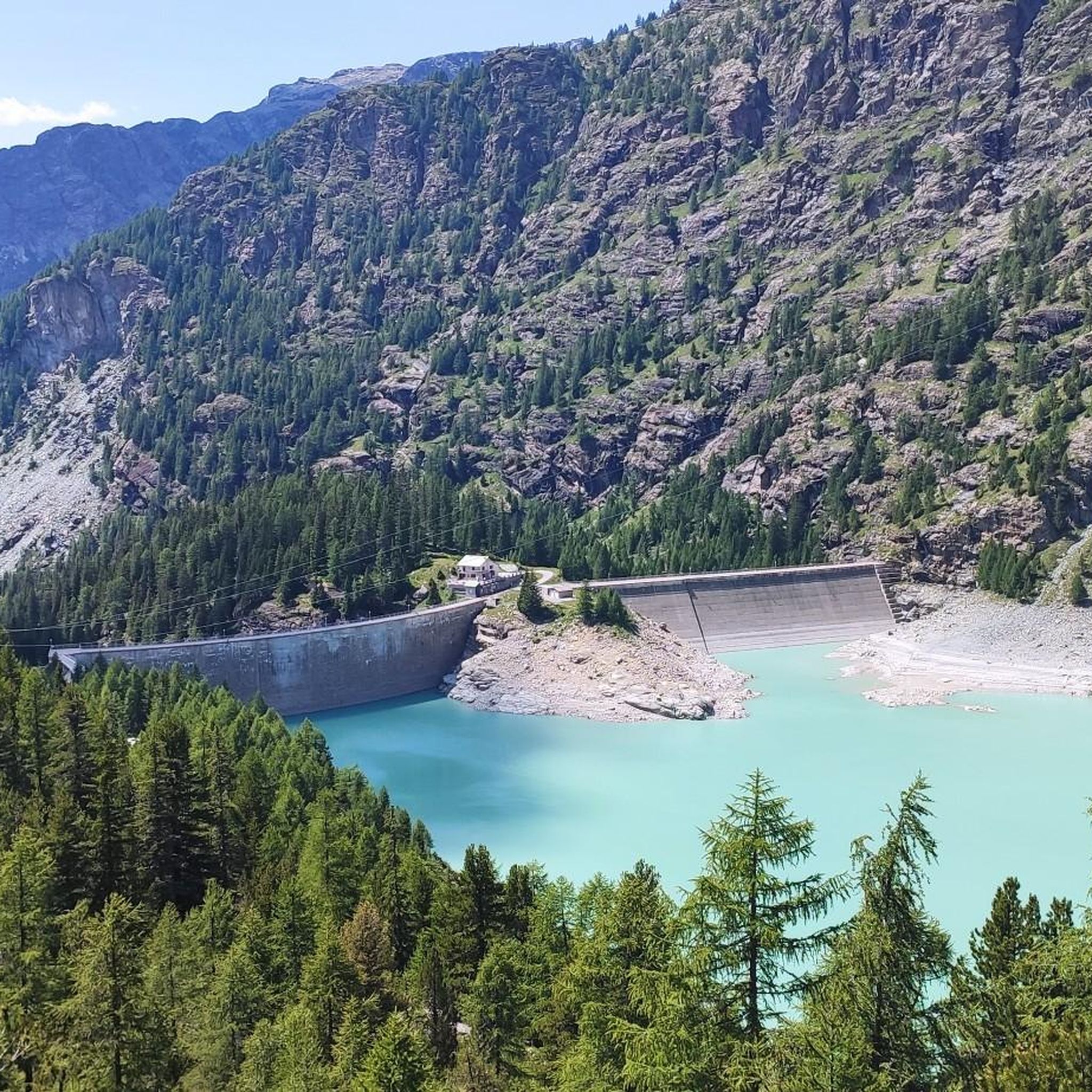
알페 제라 댐

하이라이트 • 기념물

The beautiful dams in Valmalenco

에 의해

저장

이런 장소를 발견하려면 지금 가입하세요

최고의 싱글 트랙, 봉우리 및 다양한 흥미로운 야외 장소에 대한 추천을 받아보세요.

무료 회원 가입

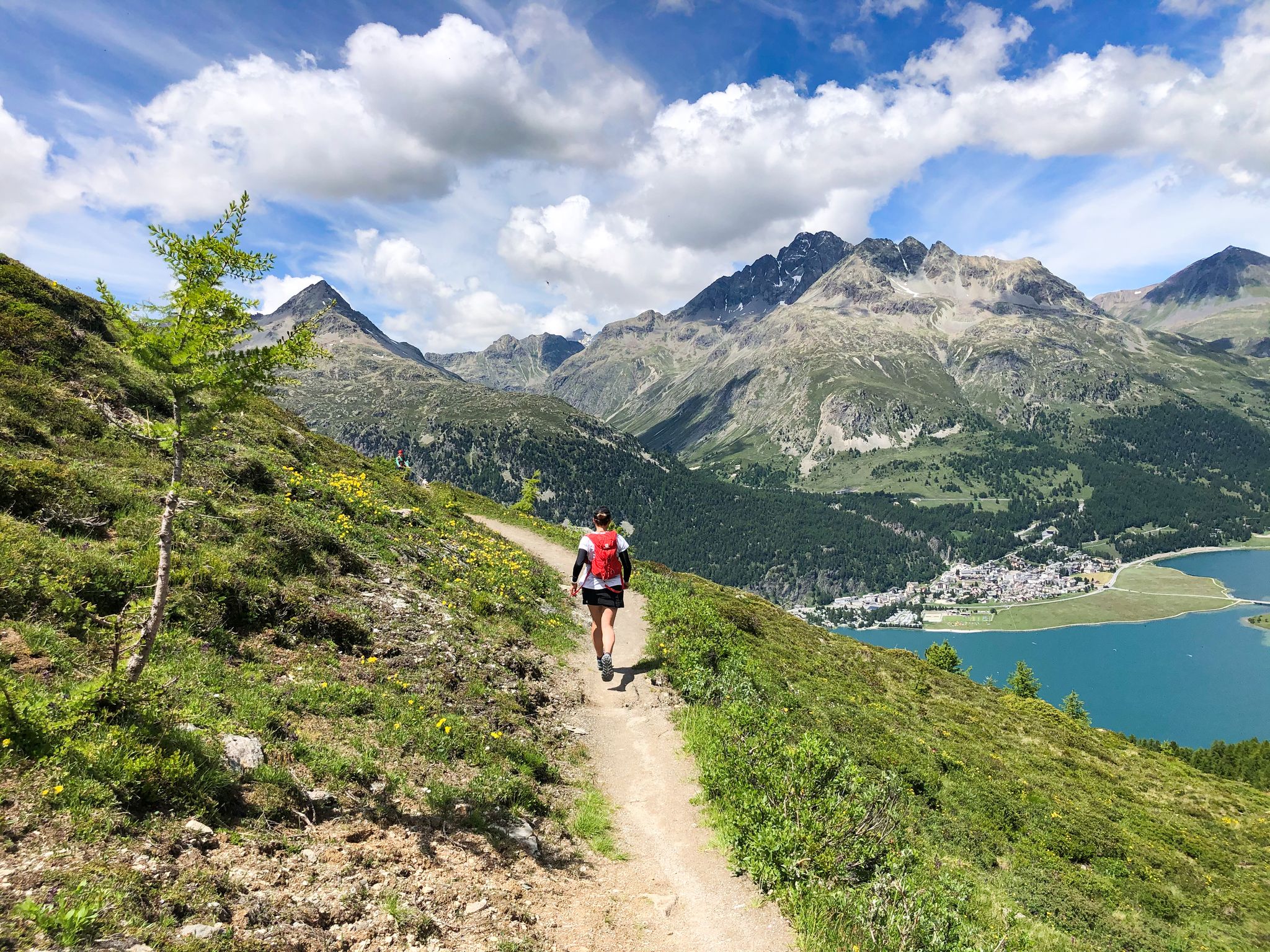
실저호 호반 트레일

하이라이트 (구간) • 트레일

Nice trail. Needs some skill. Unfortunately, many hikers. The flat way to drive from Maloja to Sils without traffic.
Today I would recommend bike trail no. 1 via Petpreir. Based …

번역자 Google •

에 의해

저장

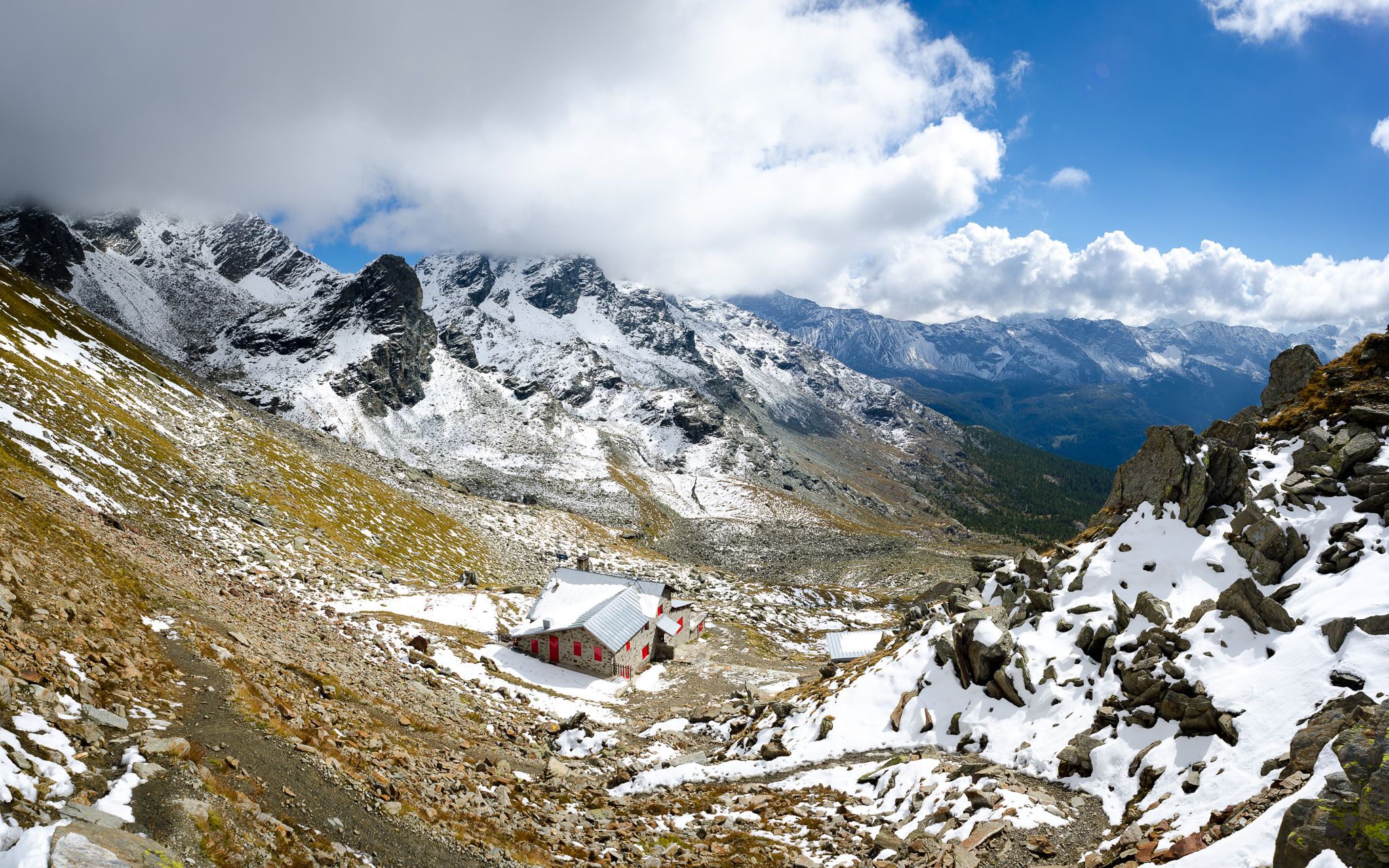
베르니나 호스피스 역

하이라이트 • 휴식 공간

해발 2,253미터로 가장 높은 곳에 위치한 이 래티샤 철도역은 숙박 시설 외에도 작은 비스트로를 제공합니다. 보리 수프와 비너리가 정말 맛있습니다. 참고로 몇 분 안에 기차가 도착하면 큰 벨소리가 울립니다. 또한 디스플레이에서 기차의 진행 방향을 확인할 수 있습니다.

번역문 보기

에 의해

저장

레그 다 카블록

하이라이트 • 호수

Idyllic lake. In autumn with beautiful colors.

번역자 Google •

에 의해

저장

무료로 가입하여 란자다 주변의 더 많은 호수를 발견하세요.

무료 회원 가입

이미 komoot 계정이 있나요?

오늘 무료 계정으로 시작하세요

다음 모험이 기다리고 있어요.

로그인 또는 가입하기

란자다 주변 인기 장소

동알프스 최고의 산, 베르니나 투어 - 트레일 러닝

정상과 산 풀밭 사이 - 발말렌코 전기 자전거로

버니나 산맥의 바닥 - 발말렌코 고고대 하이키

버니나 Tour – 동알프스의 유일한 4,000m 봉우리 주변 8일

Autunno in Valtellina: paesaggi da camminare

란자다 하이킹

란자다 사이클링

란자다 MTB 트레일

란자다 러닝 트레일

란자다 로드 사이클링 경로

란자다 주변의 다른 모험

동알프스 최고의 산, 베르니나 투어 - 트레일 러닝

러닝 컬렉션 에 의해

Fräulein Draußen

커뮤니티 팁

Christof K
9월 1, 2026, Lakeside Trail Silsersee

정말 멋진 길이네요....훌륭해요

번역: Google

0

0

Natalie
7월 23, 2026, Lägh da Cavloc

투어 초반에 Lägh da Bitabergh를 지나는 것이 가장 좋습니다. 매우 아기자기한 호수이며, 아이들은 마지막에 보물이 있는 밀수꾼의 길을 따라갈 수 있습니다. 하지만 그곳까지 가는 길은 돌과 나무가 많아 유모차에는 적합하지 않습니다.

번역: Google

0

0

A gem! We were very pleased with this hike. The hike around the lake is only for those with excellent walking skills and who can handle rough terrain. There are some steep sections with high footholds and poorly defined paths. But it's also a highlight if you don't walk all the way around the lake but turn back at the difficult sections.

번역: Google

1

0

imposing dam, a passage point for the Bignami refuge and the Fellaria ice

번역: Google

0

0

Path partially in the woods and on the lake shore. Small panoramic point. Attention, path shared and well frequented by people on foot.... attention and respect!

번역: Google

0

0

pretty panoramic view from there

0

0

In winter there is hardly anyone there - you are wonderfully alone! With a bit of luck you will also be the first person to look for the snowy hiking trail 😊. An incredibly great region!

번역: Google

1

0

Paul
10월 30, 2024, Lago Bianco

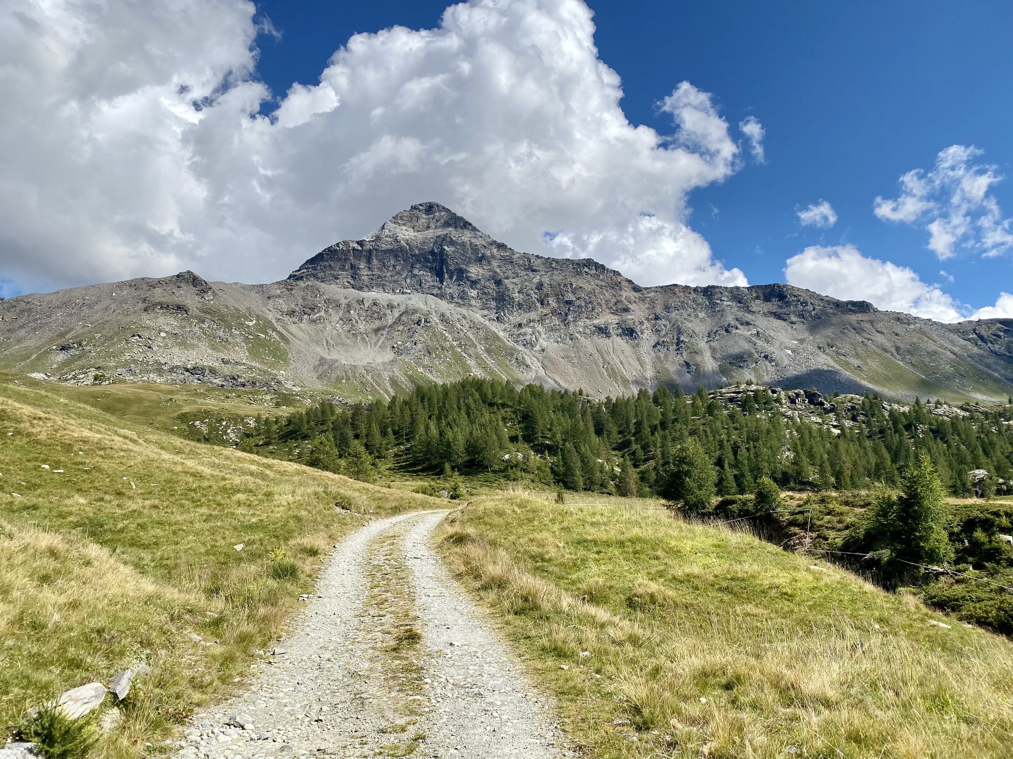
Lago Bianco, Bernina Pass at 2234 meters The Lago Bianco is a reservoir at the Bernina Pass and is located in the area of the municipalities of Pontresina and Poschiavo. The lake is located directly at the pass at 2234 meters above sea level. The Lago Bianco is bordered by two dams on its north and south sides and is around three kilometers long and about 800m wide. When filled to its maximum, the depth of the Lago Bianco is over 50 meters. The reservoir on the Bernina Pass is fed by various mountain streams and glacier water, while the Cavagliasch in particular leaves the lake. The whitish, somewhat milky-looking Lago Bianco gets its name (in German "White Lake") from the inflow of sand and glacier water. The Bernina Hospice (Ospizio Bernina) is located on the western shore of Lago Bianco, and the Rhaetian Railway's train line - the Bernina Express - also runs directly along the shore. The Bernina Pass road is also located on the western side, but not directly on the lake shore. In cold winters, the lake can freeze over and in some years the beautiful black ice forms. When the reservoir is then opened by the authorities, nothing stands in the way of ice skating on Lago Bianco. Text / Source: Schweizersee.ch https://www.schweizersee.ch/lago_bianco_pontresina/

번역: Google

16

0

란자다 주변에서 가장 인기 있는 경로

란자다 하이킹

란자다 주변에서 가장 인기 있는 명소

Places to see

Store rating

komoot 모바일 앱으로 영감을 받아보세요

무료 komoot 계정로 끝없는 야외 모험을 손쉽게 찾고, 맞춤 설정하며 길안내할 수 있어요.

또는

지금 komoot에 가입하세요

Store rating

더 살펴보기

란자다 주변에서 완벽한 호수를 아직 못 찾으셨나요? 이 지역의 가이드를 확인하여 더 아름다운 장소를 찾아보세요.

피아테다알보사기아카이올로세드라스코후신폰테 인 발텔리나타르타노발말렌코의 키에사발디덴트로리비뇨노바테 메졸라토레 디 산타 마리아발 마시노테글리오체르치노스텔비오 국립공원델레비오베르세아만텔로치노제롤라 알타로고로코시오 발텔리노빌라 디 키아벤나피우로피안테도두비노사몰라코안달로 발텔리노고르도나프라타 캄포르타치오페데시나라수라그로시오포르콜라시보보르미오발푸르바베마알바레도 페르 산 마르코마데시모발디조토Valtellina의 몬타냐몬테의 부글리오카스포지오트라오나아프리카모르베뇨Parco Delle Orobie Valtellinesi캄포돌치노멜로콜로리나베르베노 디 발텔리나치우로카스텔로 델아쿠아탈라모나메졸라 호수산 자코모 필리포스피아나포스탈레시오카스티오네 안데벤노빌라 디 티라노그로조또비앙존세르니오티라노메세트레시비오마조 디 발텔리나손달로아르데노로베로베르비오키아벤나다지오토보 디 산타가타파에도 발텔리노포지리덴티

근처 어드벤처 가이드

손드리오 즐길거리

background

새로운 정복을 위한 준비를 하세요

무료로 가입하기

탐험하기
경로경로 플래너기능바우처 사용하이킹MTB 트레일로드 사이클링 경로바이크패킹사이트맵
앱 다운로드
소셜 미디어에서 팔로우하기

© komoot GmbH

개인 정보 보호 정책