쉬들리헤스 안할트 최고의 라이딩 경로
4.6
(430)
4,006
자전거 타는 사람
20
라이딩
쉬들리헤스 안할트에서 로드 사이클링을 하실 계획인가요? 쉬들리헤스 안할트의 모든 로드 라이딩 중에서 가장 멋진 라이딩 장소를 엄선했으니 쉬들리헤스 안할트에서 가장 마음에 드는 로드 사이클링 경로를 찾아보세요.
마지막 업데이트: 9월 16, 2026
4.5
(6)
42
자전거 타는 사람
62.3km
02:34
340m
340m
보통 도로 자전거 타기. 좋은 체력 필요. 투어 중 라이딩하기 어려운 비포장 구간이 있을 수 있음.
14
자전거 타는 사람
31.5km
01:22
50m
50m
보통 도로 자전거 타기. 모든 체력 수준에 적합. 투어 중 라이딩하기 어려운 비포장 구간이 있을 수 있음.

5.0
(1)
11
자전거 타는 사람
28.6km
01:09
50m
50m
보통 도로 자전거 타기. 모든 체력 수준에 적합. 투어 중 라이딩하기 어려운 비포장 구간이 있을 수 있음.
5.0
(1)
10
자전거 타는 사람
47.4km
02:00
280m
280m
보통 도로 자전거 타기. 좋은 체력 필요. 투어 중 라이딩하기 어려운 비포장 구간이 있을 수 있음.
5.0
(1)
10
자전거 타는 사람
33.2km
01:26
210m
210m
보통 도로 자전거 타기. 모든 체력 수준에 적합. 투어 중 라이딩하기 어려운 비포장 구간이 있을 수 있음.
더 다양한 경로와 다른 탐험가들의 추천을 살펴보세요.
이미 komoot 계정이 있나요?
투어 추천은 다른 사람들이 komoot에서 완료한 수천 개의 활동을 바탕으로 구성되어 있습니다.
오늘 무료 계정으로 시작하세요
다음 모험이 기다리고 있어요.
커뮤니티 팁


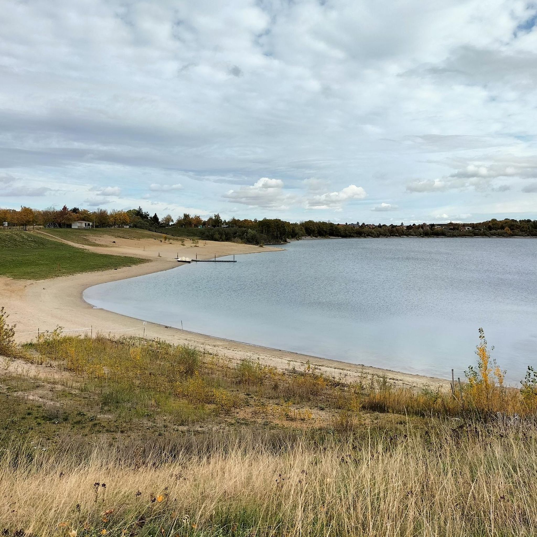
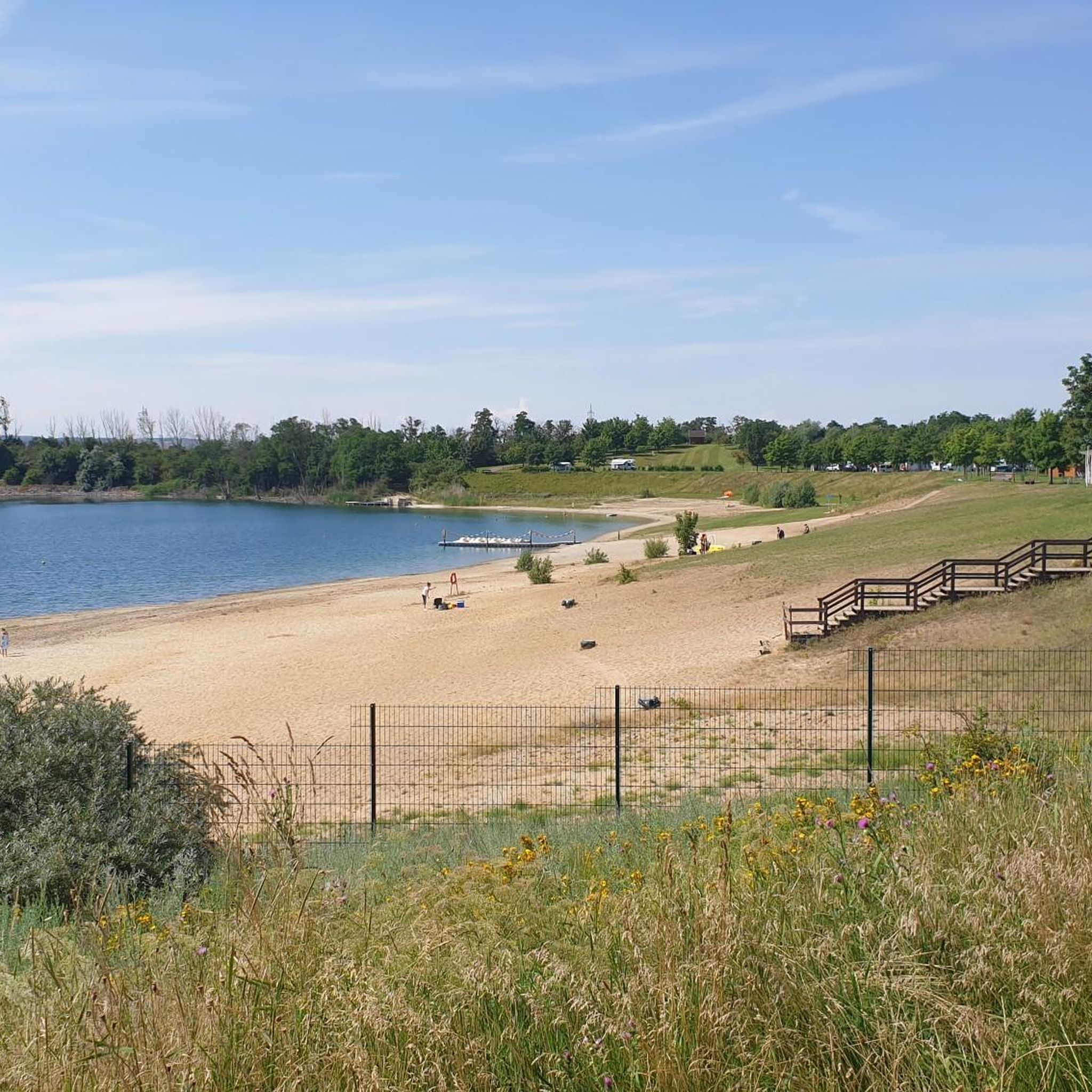
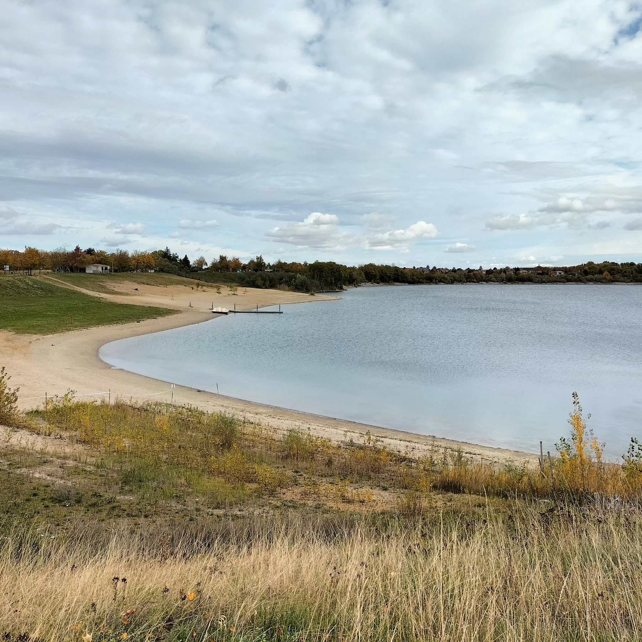
In 1958, after more than 100 years, open-cast mining operations at the site were discontinued because the deposits were exhausted. The remaining pit was gradually filled with water.[2] By 1967, the Edderitzer Lake, over 40 hectares in size and up to 41 meters deep, had formed from inflowing groundwater. It initially served primarily as a water reservoir for agriculture, but has also developed into a popular bathing lake.[4] It differs from traditional quarry lakes in its rather unplanned formation. After wild bathing areas had developed along various shores, problems with the embankment became apparent after 1989, presumably caused by the rising water level following the declining water extraction between 1990 and 1992, so large sections of the shore were closed off. From 1998 to 2003, the slopes were secured and a beach restaurant was created in the western area, while the former beaches on the eastern side remained closed.[4] For the reopening on May 15, a "House and Bathing Regulations of the Edderitz Seaside Resort" was published in the official gazette.[5] The lake has good water quality.[6] On the west side of the lake, there is a lido with a 400-meter-long sandy beach, volleyball courts, and a campsite. The lake is used for various water sports such as fishing and diving. A paved circular path surrounds the lake, which is used for hiking, cycling, skating, and summer and winter biathlon. There is also a geological educational garden with over 120 rocks on display and remnants of the open-cast mining history (lorry, water wheel).[7] In 2005, a life-sized "art cow" painted with fins and scales was sunk by the local diving club in Lake Edderitz and anchored at a depth of 25 meters.[8] Source: https://de.wikipedia.org/wiki/Edderitzer_See
4
0
The village of Edderitz is said to have received its name from the Slavic word jezerisco, as it was first mentioned as Ezeri in 973. There are and have been several ponds in the village, and several pit ponds near the village, but Lake Edderitz is by far the largest body of still water in the former municipality.[1] In the 19th century, the importance of coal mining increased significantly, and the Leopold mine was established in 1853. In 1935, it was decided to relocate a large part of the village to the north so that coal could be mined there as well. The new village was gradually built north of the Pfaffendorf-Edderitz road starting in 1938. A total of around 1,200 residents were resettled by 1952. In 1953, the sugar factory, which was located in the northwest of the old village, was demolished so that coal could be mined there as well. All that remained of the old village was the cemetery; the rest was dredged over. [Source: https://de.wikipedia.org/wiki/Edderitzer_See
4
0
Lake Edderitz is located in the Anhalt-Bitterfeld district, south of Köthen in the town of Southern Anhalt. It originated from the former Edderitz open-cast mine and is therefore also known as the "open-cast mine pit near Edderitz." Source: https://de.wikipedia.org/wiki/Edderitzer_See
5
0
In 1291, a bailiff from Anhalt had his seat at the castle. The castle was first documented in a transfer of property from Prince Otto III of Bernburg to his wife Lutrud of Querfurt. During the Thirty Years' War, the building suffered little damage. In the town fire of 1675, the tower's dome was severely damaged and replaced in 1678 with a Baroque dome and the present half-timbered floor. In 1809, the castle, which had stood empty since 1784, was demolished except for the 14th-century keep, also known as the Mauseturm (Mouse Tower). The stones of the castle were used by the Jewish community in the construction of a cemetery at the foot of the Akazienberg (Acacia Hill). During the GDR era, the castle tower was used by young people as a station for young naturalists. Today (as of 2015), the headquarters of the Gröbzig Local History Society is located in the tower.[2] Source https://de.wikipedia.org/wiki/Burg_Gr%C3%B6bzig
4
0
Gröbzig Castle, also known as Gröbzig Palace, is the remains of a castle in Gröbzig in the Anhalt-Bitterfeld district of Saxony-Anhalt. Today, only the castle tower remains. The building is listed as a historic monument in the local register of monuments under registration number 094 09930.[1] Source: https://de.wikipedia.org/wiki/Burg_Gr%C3%B6bzig
5
0
쉬들리헤스 안할트 주변에서 가장 인기 있는 명소


더 살펴보기
다른 지역의 최고의 로드 사이클링 경로를 살펴보세요.
