비나디오 최고의 워킹 & 하이킹 경로
4.7
(1553)
9,629
등산객
155
하이킹
정확한 경로를 찾는 것이 때로는 어렵지만 비나디오에서 하이킹을 하면 다양한 경치를 마음껏 감상할 수 있답니다. 비나디오에서 가장 멋진 하이킹과 워킹 중에서 마음에 드는 활동을 시작해보세요.
마지막 업데이트: 10월 10, 2026
4.7
(300)
1,225
등산객
9.10km
03:15
530m
530m
Embark on the Ascent to Lake Sant'Anna — Ring tour, a moderate hike that takes you through stunning alpine scenery. This 5.7-mile (9.1 km) loop involves a total elevation gain…
4.6
(45)
325
등산객
10.6km
03:22
380m
380m
Embark on the Alte Valli Trail: Stage 1, a moderate hiking route that guides you through the diverse landscapes of the Maritime Alps. You will experience a mix of lush…

4.6
(44)
241
등산객
18.3km
08:36
1,380m
1,380m
Embark on the Ischiator Lakes Trail from Bagni di Vinadio, a difficult hike through the Maritime Alps that promises a true alpine adventure. This challenging route spans 11.4 miles (18.3…
4.9
(16)
83
등산객
9.70km
04:23
650m
660m
Embark on the moderate "Climb to the Aver Lakes — Loop tour," a 6.0-mile (9.7 km) hike that takes you through varied terrain with significant elevation changes. You will encounter…
4.7
(21)
169
등산객
12.4km
05:33
880m
880m
Embark on a challenging 7.7-mile (12.4 km) hike to Lago di Laroussa, gaining 2876 feet (876 metres) in elevation over approximately 5 hours and 32 minutes. This difficult route takes…
더 다양한 경로와 다른 탐험가들의 추천을 살펴보세요.
이미 komoot 계정이 있나요?
투어 추천은 다른 사람들이 komoot에서 완료한 수천 개의 활동을 바탕으로 구성되어 있습니다.
오늘 무료 계정으로 시작하세요
다음 모험이 기다리고 있어요.





커뮤니티 팁


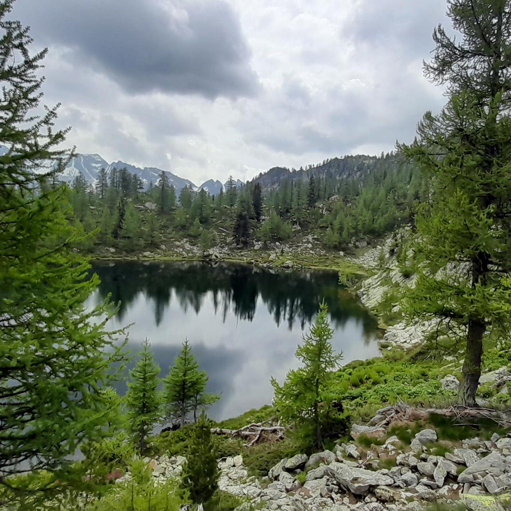
어렵다기보다는 매우 가파르지만 해낼 수 있습니다. 특히 윗부분은 자갈 때문에 길이 약간 미끄러워지므로 내리막길에서 주의해야 합니다.
0
0
돌밭 사이를 지그재그로 가로지르는 꽤 가파른 길을 따라 도착합니다. 마지막은 숨 막힐 정도입니다. 호수를 향해 왼쪽으로 가는 마지막 몇 미터에서 길을 잃지 않도록 주의하고, 돌밭에서 길을 잃지 마세요.
0
0

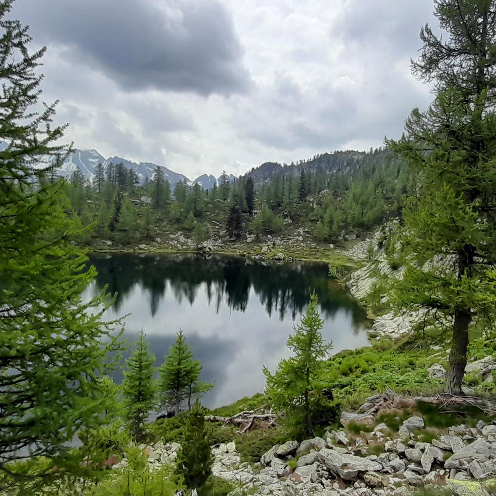
To be seen from every angle, even as a whole, from above, they are a spectacle.
0
0
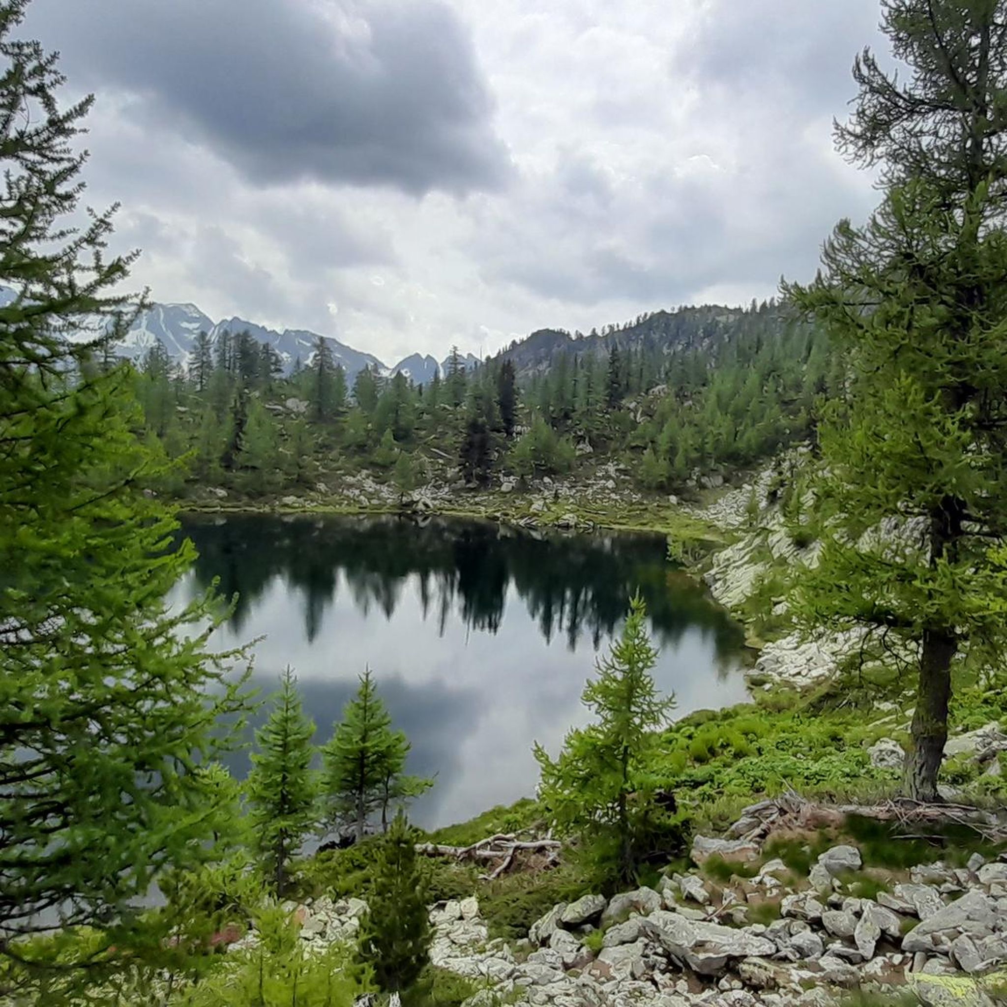
Stunning lake easy to reach from the Migliorero Refuge.
0
0


더 살펴보기
다른 지역의 최고의 하이킹를 살펴보세요.
