소스피롤로에서 가장 멋진 20개의 산 정상
소스피롤로의 산 정상에 오르면 이 지역의 아름다운 모습을 제대로 구경할 수 있어요. 다만, 20
곳이나 되는 산 정상 중에서 어떤 곳을 가야 할 지 고민된다는 게 문제죠. 소스피롤로에서 가장 멋진 산 정상을 살펴본 후에 마음에 드는 산 정상을 다음 모험 계획에 추가해보세요.
마지막 업데이트: 8월 31, 2026
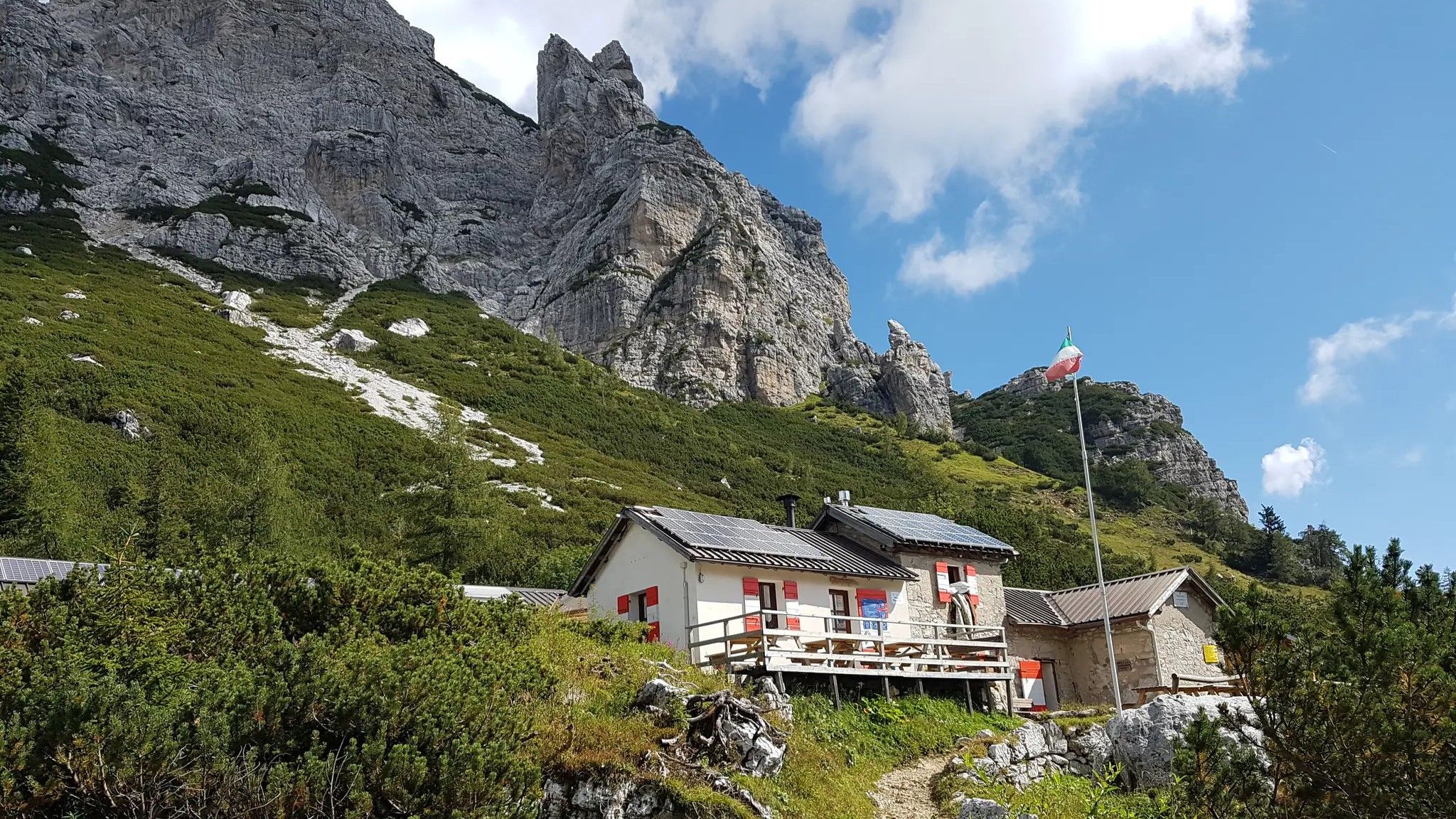
Rifugio Casèra Ere
하이라이트 • 산장
번역자 Google •
팁에 의해

이런 장소를 발견하려면 지금 가입하세요
최고의 싱글 트랙, 봉우리 및 다양한 흥미로운 야외 장소에 대한 추천을 받아보세요.
무료 회원 가입
몬타녜 마을(체시오마조레, 발 칸초이)
하이라이트 • 정착지
It can be reached from two sides: either at the entrance to Val Canzoi (556 m, on the orographic right). in the Municipality of Cesiomaggiore (Belluno), …
번역자 Google •
팁에 의해


오늘 무료 계정으로 시작하세요
다음 모험이 기다리고 있어요.
로그인 또는 가입하기



커뮤니티 팁

It can be reached via a comfortable but sometimes very steep road. Stunning views of the Piave Valley.
0
0

Bivouac renovated from an old mountain hut with 4 bunk beds and a small table inside. Tables and fireplace outside. Water source and woodshed near the bivouac
1
0

Cima Zervoi 1842m. and Casera Zervoi seen from the top of Serva. They can be reached from the Caiada plateau (the plateau can be reached by car from Fortogna) with a nice excursion through Palughet or with a circular tour for CAI 505 for f/lla Tanzon and f/lla Zervoi.
0
0
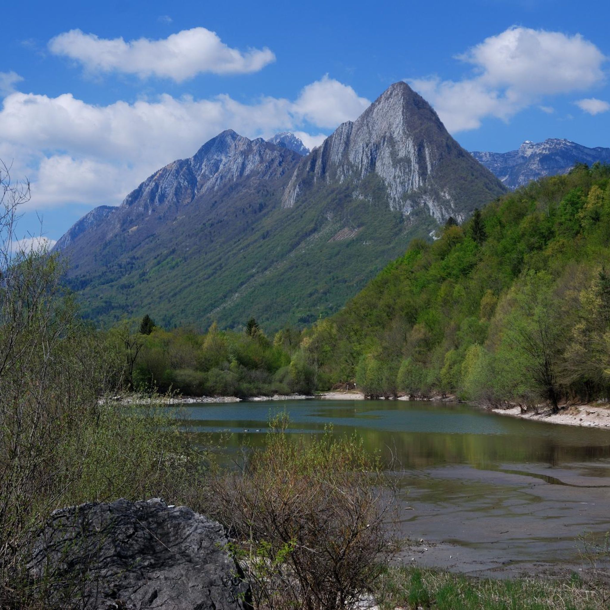
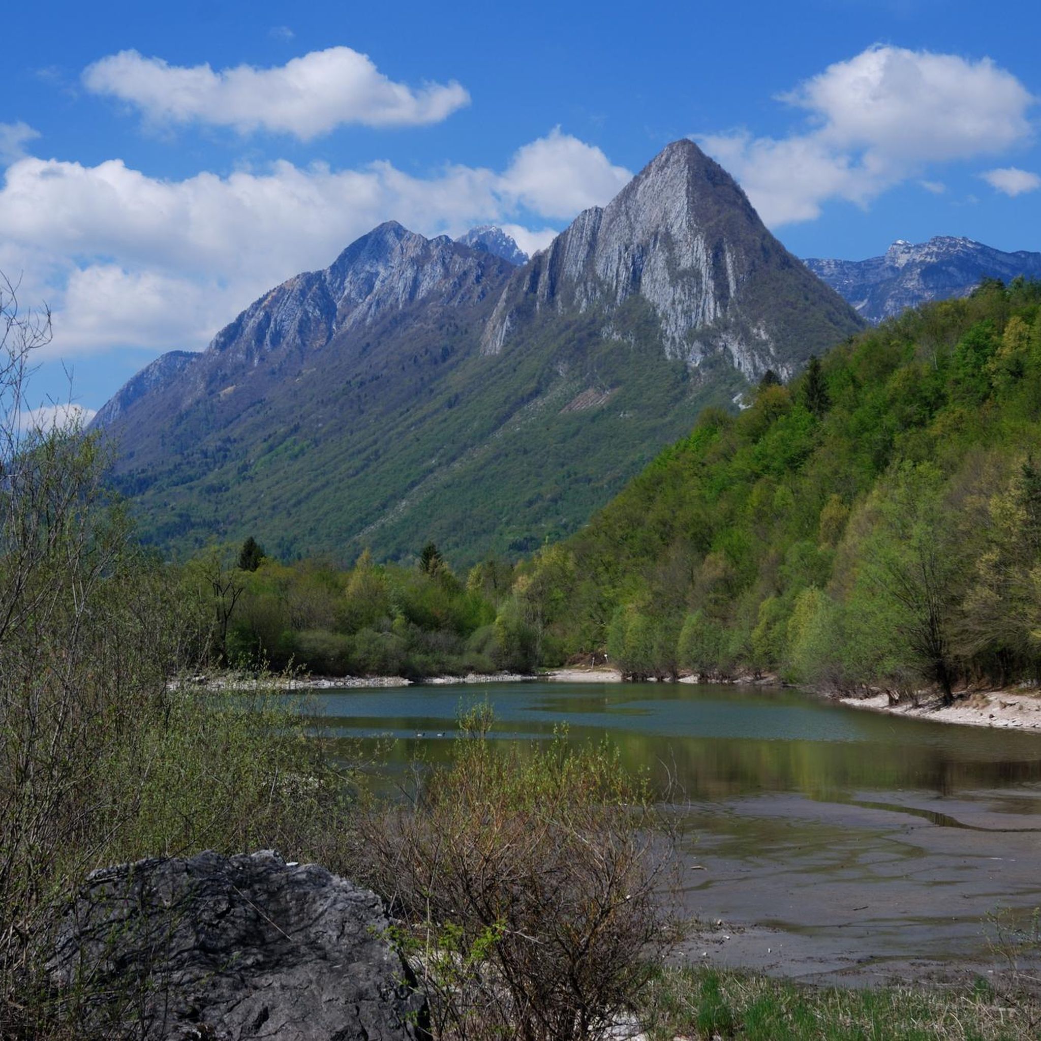
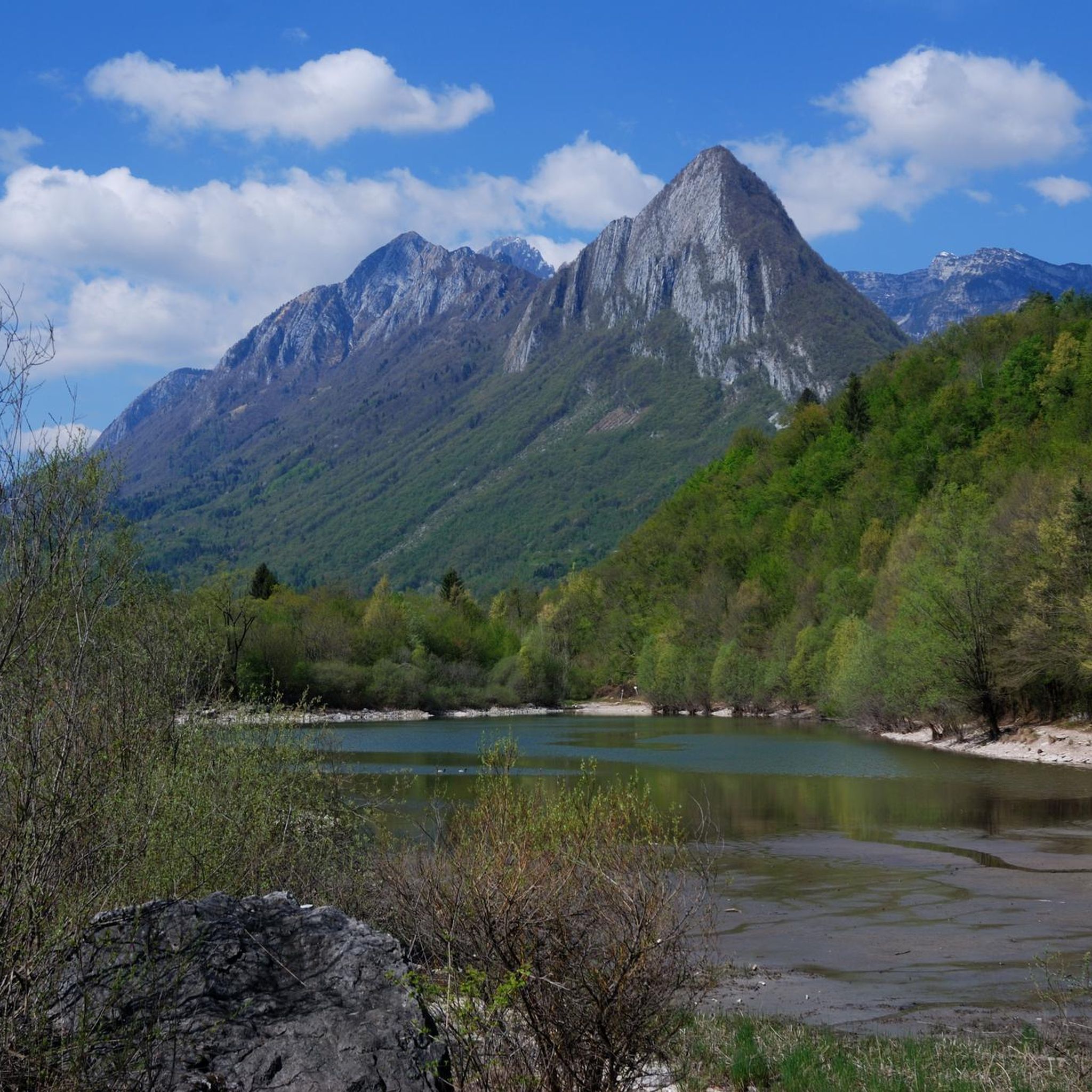
Mount Serva is a spectacular peak due to its particular position close to the city of Belluno. It is the mountain of the Bellunesi. From its summit, on clear days, especially in winter, the view seems aerial: from the Belluna valley to the summit there are about 1600-1700 meters of altitude difference, which makes the summit seem higher than it actually is. The view ranges from Lake Santa Croce and the peaks of Alpago to Cadore, from the Schiara group to the very long Belluna valley, from the city of Belluno to the plain.
0
0

When climbing Pizzocco, the Cross and the Trigonometric Point, one cannot help but remember that the north-east face measures 600 meters vertically. It was climbed for the first time in July 1959, by the Swiss team composed of Hans Weber and Albin Schelbert. Again on 3 and 4 June 1978, the Bellunesi Franco Miotto and Riccardo Bee conquered the direct route with a new route on the daring rocky horn clearly visible from Val Belluna. Over the years there have been many attempts (some disastrous) to conquer Pizzocco, unfortunately unsuccessful. While the walls of the west face, several climbers from Feltre conquered them. Already in 1948 on that face the Via dell'Amicizia was opened by Franceschini and Palminteri. The west crest via Castiglioni - Detassis etc. The normal climb is not recommended in winter due to the exposure of the path and a delicate passage over an abyss. For the rest you can enjoy a wonderful view both to the north and to the south of the Venetian Lagoon.
3
0

Magnificent view of the Dolomites from Belluno's local mountain. The climb is steep and the path is rocky; make sure you take enough water with you!!!
0
0

A peak that enjoys a wonderful panoramic view, in the last stretch it is necessary to pay attention because it is a little rocky.
3
0

소스피롤로 주변에서 가장 인기 있는 명소


더 살펴보기
이 가이드를 통해 소스피롤로 주변의 더 놀라운 정상들을 확인해보세요:
