가이루/가이로 최고의 워킹 & 하이킹 경로
4.5
(1045)
4,125
등산객
58
하이킹
정확한 경로를 찾는 것이 때로는 어렵지만 가이루/가이로에서 하이킹을 하면 다양한 경치를 마음껏 감상할 수 있답니다. 가이루/가이로에서 가장 멋진 하이킹과 워킹 중에서 마음에 드는 활동을 시작해보세요.
마지막 업데이트: 9월 13, 2026
3.8
(4)
36
등산객
14.7km
04:35
530m
530m
어려운 하이킹. 좋은 체력 필요. 튼튼한 신발을 신고 미끄러지지 않게 조심해야 하며, 높은 산을 오른 경험이 있어야 함.
5.0
(6)
12
등산객
20.6km
06:40
870m
870m
어려운 하이킹. 우수한 체력 필요. 대부분 갈 수 있는 길. 미끄러지지 않게 조심해야 함.

4.0
(2)
5
등산객
15.9km
05:26
820m
820m
어려운 하이킹. 우수한 체력 필요. 대부분 갈 수 있는 길. 미끄러지지 않게 조심해야 함.
4.7
(119)
497
등산객
5.55km
01:32
100m
100m
초급용 하이킹. 모든 체력 수준에 적합. 실력과 관계없이 누구나 쉽게 갈 수 있는 길.
4.7
(79)
264
등산객
10.7km
03:31
410m
410m
보통 하이킹. 좋은 체력 필요. 대부분 갈 수 있는 길. 미끄러지지 않게 조심해야 함.
더 다양한 경로와 다른 탐험가들의 추천을 살펴보세요.
이미 komoot 계정이 있나요?
투어 추천은 다른 사람들이 komoot에서 완료한 수천 개의 활동을 바탕으로 구성되어 있습니다.
오늘 무료 계정으로 시작하세요
다음 모험이 기다리고 있어요.
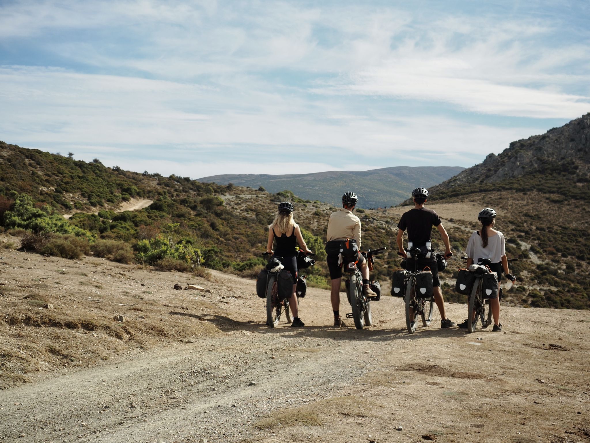
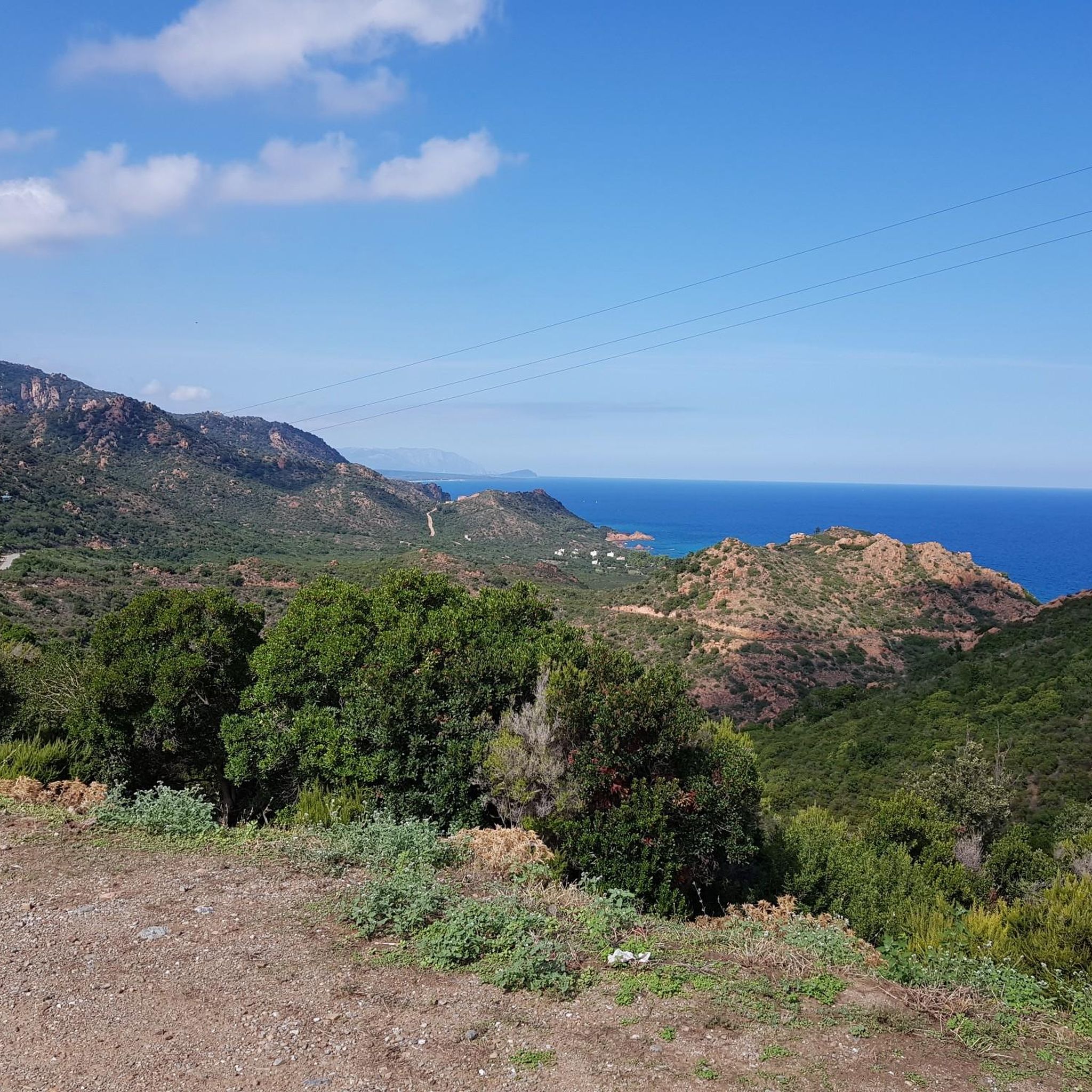
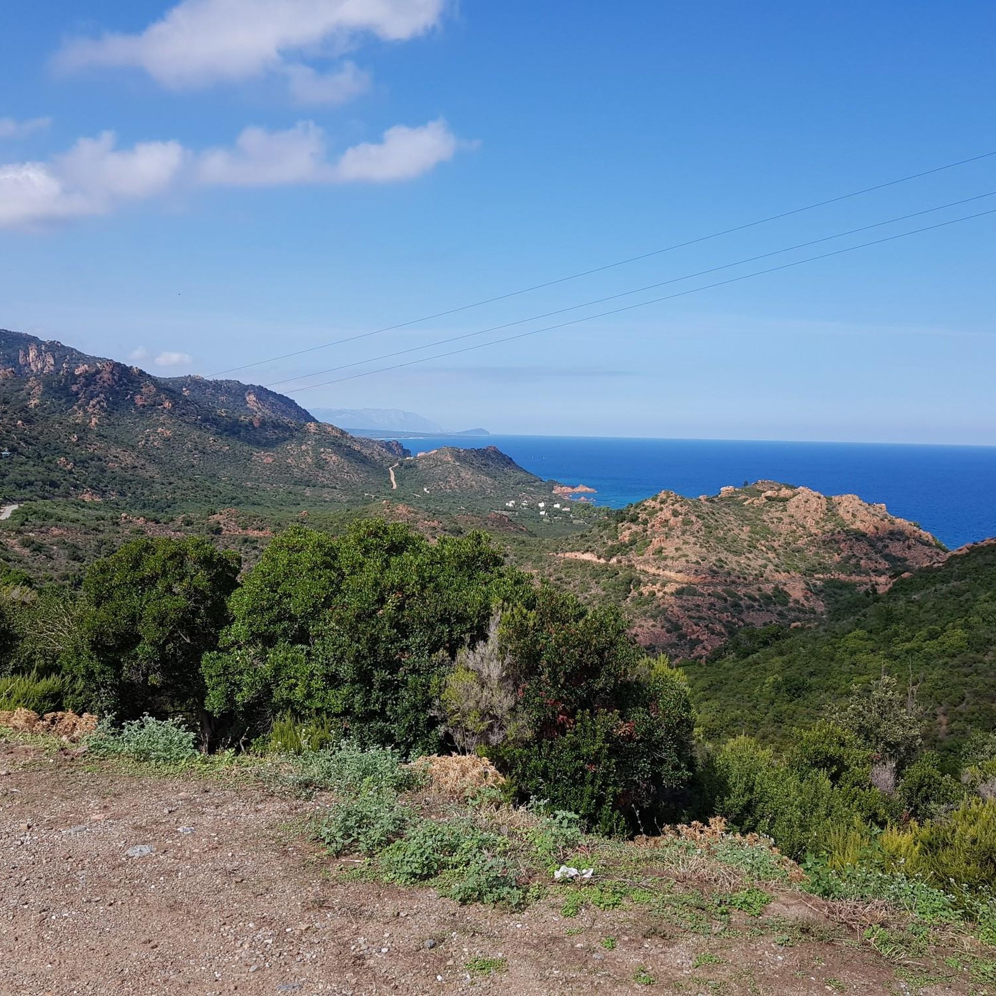
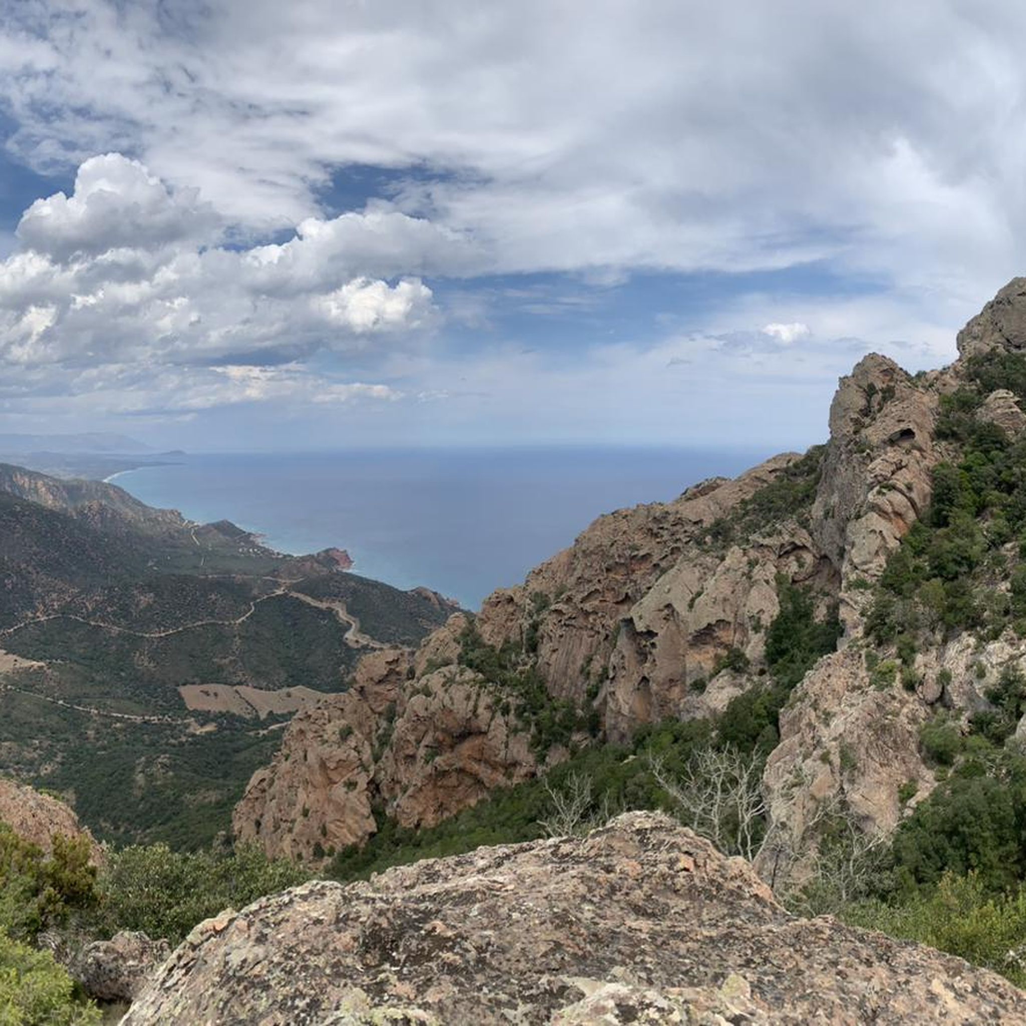

가이루/가이로 주변의 다른 모험

커뮤니티 팁

The path branches off to the left of the road. Continue past the small metal gate on the left.
0
0


From here (there's a parking lot nearby, at the end of the paved road), there are many hiking destinations. The pebble beach is also worth a visit.
0
0
This narrow but easily accessible trail leads along the (mostly dry) stream through the valley and is very varied over its short distance.
0
0
Very nice coastal tour with spectacular views.
1
0

A uniquely shaped, towering tower, a natural monument, symbol of Ogliastra, and a key morphological feature of central-eastern Sardinia. Perhaps once a gathering place for the Nuragic peoples, it later became, in popular legend, the entrance to the underworld. It protrudes from the earth like a giant finger reaching toward the sky and, especially in this wild area, is a landmark visible from afar for hikers. Perda 'e Liana is an extraordinary rock formation declared a natural monument in 1993. The peculiar "mountain," known in Sardinian as Taccu or Tonneri, rises in the Gairo Sant'Elena area: it is the greatest witness to the erosive effects of weathering that have been affecting the vast limestone cover of Ogliastra on the border with Barbagia di Seulo for several million years. Erosion gradually isolated the "tower," forming its base. It is the highest (1293 m) of the numerous Ogliastra limestone mountains, the northern foothills of the Tonneri plateau, about two kilometers away, to which it is connected by the s'Arcu 'e su Pirastu Trottu pass. Perhaps in ancient times, they formed a single mountain ridge. Source and further information: https://www.sardegnaturismo.it/de/entdecken/perda-e-liana
0
0
가이루/가이로 주변에서 가장 인기 있는 명소


더 살펴보기
다른 지역의 최고의 하이킹를 살펴보세요.
