경로

플래너

기능

업데이트

App

로그인 또는 가입

앱 다운로드

로그인 또는 가입

경로
하이킹
독일
라인란트-팔츠
아르바일러

시에르샤이드

시에르샤이드 최고의 워킹 & 하이킹 경로

4.5

(1004)

4,450

등산객

905

하이킹

정확한 경로를 찾는 것이 때로는 어렵지만 시에르샤이드에서 하이킹을 하면 다양한 경치를 마음껏 감상할 수 있답니다. 시에르샤이드에서 가장 멋진 하이킹과 워킹 중에서 마음에 드는 활동을 시작해보세요.

마지막 업데이트: 7월 11, 2026

4.3

(8)

20

등산객

#1.

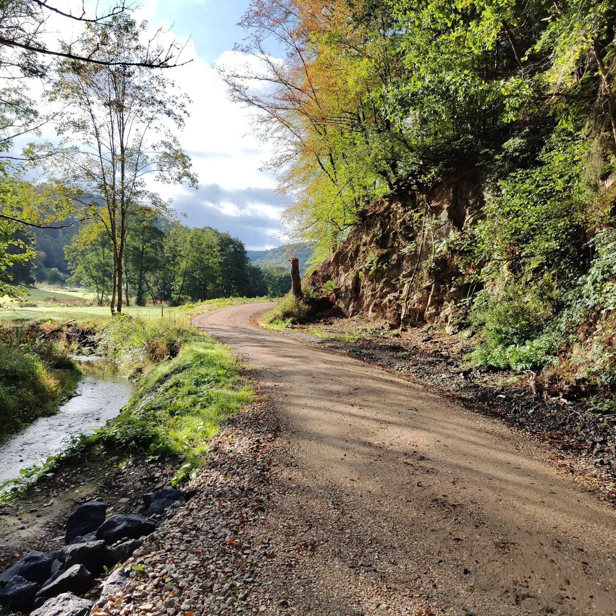
Etappenwanderung: Hocheifel-Panorama-Weg (Insul - Adenau)

15.0km

04:23

430m

340m

보통 하이킹. 좋은 체력 필요. 실력과 관계없이 누구나 쉽게 갈 수 있는 길.

기기에서 길안내

휴대폰으로 전송

저장

보통

보통 하이킹. 좋은 체력 필요. 실력과 관계없이 누구나 쉽게 갈 수 있는 길.

보통
guide_signup
저희가 komoot 모바일 앱로 길을 안내해 드리겠습니다.
무료 komoot 계정로 끝없는 야외 모험을 손쉽게 찾고, 맞춤 설정하며 길안내할 수 있어요.

무료 회원 가입

보통 하이킹. 좋은 체력 필요. 대부분 갈 수 있는 길. 미끄러지지 않게 조심해야 함.

보통

보통 하이킹. 좋은 체력 필요. 실력과 관계없이 누구나 쉽게 갈 수 있는 길.

보통

보통 하이킹. 모든 체력 수준에 적합. 대부분 갈 수 있는 길. 미끄러지지 않게 조심해야 함.

보통
무료 회원 가입 후 시에르샤이드 주변 하이킹 경로를 901개 더 확인하세요

더 다양한 경로와 다른 탐험가들의 추천을 살펴보세요.

무료 회원 가입

이미 komoot 계정이 있나요?

투어 추천은 다른 사람들이 komoot에서 완료한 수천 개의 활동을 바탕으로 구성되어 있습니다.

오늘 무료 계정으로 시작하세요

다음 모험이 기다리고 있어요.
로그인 또는 가입하기

시에르샤이드 주변 인기 장소

시에르샤이드 MTB 트레일

시에르샤이드 사이클링

시에르샤이드 로드 사이클링 경로

시에르샤이드 등산

시에르샤이드 러닝 트레일

시에르샤이드 주변 그래블 라이딩

커뮤니티 팁

Wappie
7월 1, 2026, Bergpfad über die Spicherley

고도 미터 연습에 좋은 투어와 거래

번역: Google

0

0

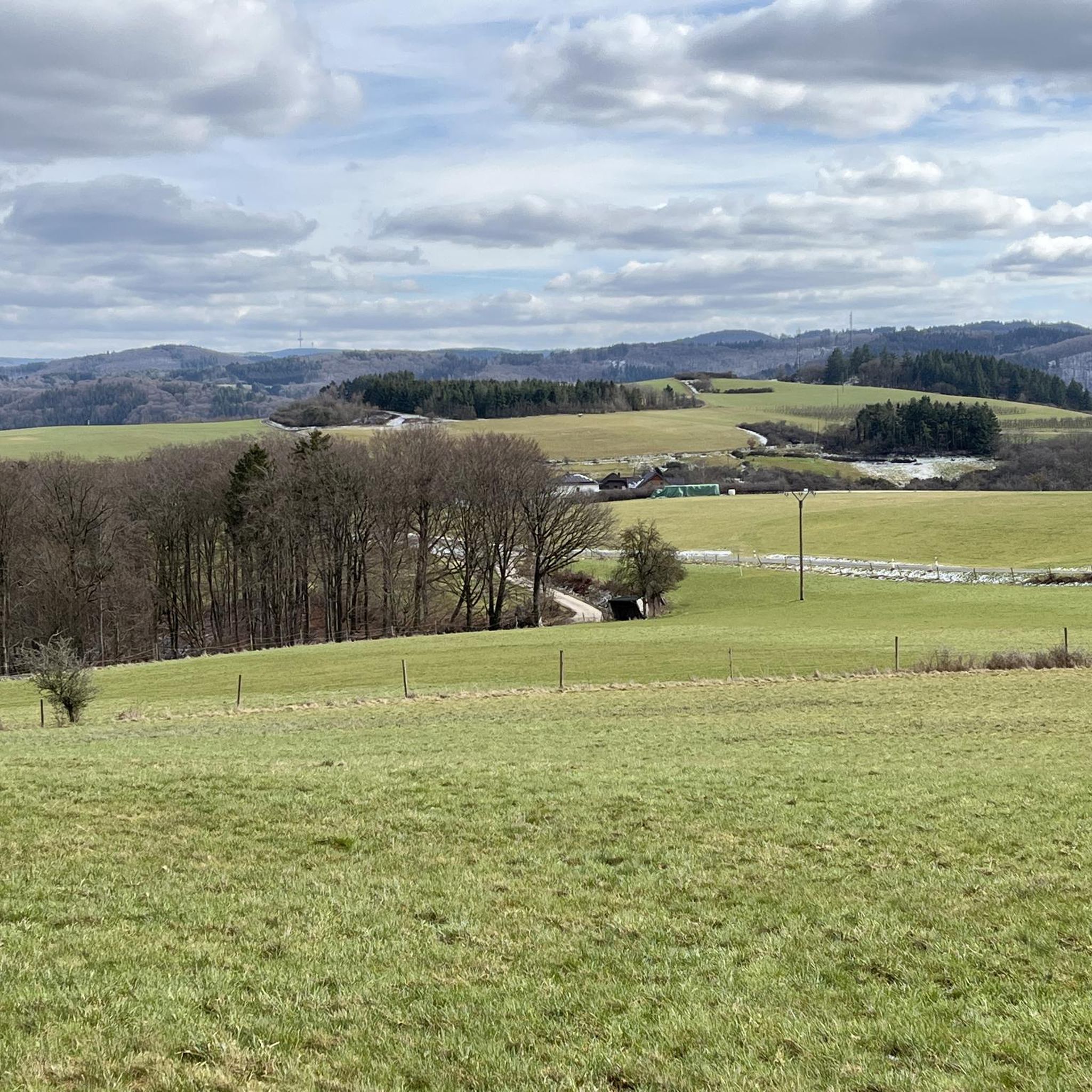
The Lind Panorama Trail is a true feast for the eyes. From the bench with its panoramic view, your gaze sweeps all the way to the highest mountain in the Eifel region, the Hohe Acht at 748 meters, and next to it, the Nürburgring. It seems as if you could see far beyond the horizon.

번역: Google

0

0

Just take a seat and enjoy the beautiful view of Rupperath, a town in Bad Münstereifel.

번역: Google

0

0

"Heavily forested mountain ridges with elevation differences of up to 300 meters dominate the landscape. The "Teufelsley" nature reserve is located on the southern edge of the municipality of Hönningen. The cycle path along the Ahr River and a number of well-developed hiking trails through the diverse surroundings invite you to take excursions." https://www.altenahr.de/de/vg-altenahr/ortsgemeinden/hoenningen

번역: Google

0

0

"The Dümpelhardt lies at an altitude of 426 meters above Sierscheid and offers a fabulous panoramic view over the meadows and forests of the Eifel and down into the upper Ahr Valley. A panoramic trail around the Dümpelhardt showcases the diversity and beauty of the Ahr Mountains, with a view of the Nürburgring. The circular trail is just under three kilometers long and is easy to walk. The starting point is at the crossroads above the Maternus Chapel in Sierscheid." https://www.hocheifel-nuerburgring.de/a-duempelhardt

번역: Google

0

0

"... The Elector's approval was soon obtained through his court chamber in Bonn. With the French invasion of the territories on the left bank of the Rhine in 1794, the existence of the Electorate of Cologne came to an end. Sierscheid now belonged to the canton and the Mairie (mayoralty) of Adenau, and from the Prussian period onwards to the mayoralty and district of Adenau. In the 19th century, great hardship prevailed, especially in the Eifel villages. On April 16, 1847, the Sierscheid municipal council therefore asked the royal government in Koblenz for the delivery of 24 bushels of rye at one-sixth below the market price. Due to poor harvests, the hardship could not be remedied from its own resources. Repayment was to be made by the end of 1848. In addition, 200 cubic feet of oak logs were to be felled in the Dümpelhardt forest district, as only 8 thalers had been collected for the timber already felled. Since Sierscheid received only five bushels of rye from Koblenz, in July of that year Another 12 bushels were requested. The delivered grain was distributed to the needy. On November 14, 1848, the municipal council authorized Johann Peter Leuer and Peter Josef Emons to pay their citizen's allowance in two installments. To close the gap in the 1851 budget, it was decided to fell oak trees worth 20 thalers. Since Sierscheid formed a tax unit with Insul, and this caused inconveniences, Sierscheid applied for the creation of its own land register. After the dissolution of the Adenau district in 1932, Sierscheid became part of the Ahrweiler district. Since July 28, 1970, the village has been part of the Adenau collective municipality. FURTHER INFORMATION: https://www.sierscheid.de/index.htm

번역: Google

0

0

<< Historical Overview >> "The historical origins of the municipality of Sierscheid are unknown. The town was first documented in 1290 as belonging to the Electorate of Cologne's Amt of Nürburg. Until 1794, the Elector of Cologne was the supreme sovereign, represented by the Nürburg Amt administrator. The Nürburg Amt was divided into several Schultheißenamte (shoulder offices). Sierscheid belonged to the Schultheißenamt (shoulder offices) of the four Honschaften (honoraries) on the Schuld. The Adenauer Johanniterkommende (St. John's Commandery) held, together with the Electorate of Cologne, high and middle jurisdiction over Sierscheid. As in the other towns, the Cologne Cathedral Chapter collected tithes in Sierscheid. The yield on July 11, 1629, yielded two malters of rye and two malters, four simmers of oats. (Those interested in old measurements are recommended to read the Wikipedia articles.) Around 1670, Sierscheid had approximately 1,000 inhabitants. 230 hectares of land. On February 27, 1772, the community, subject to the rights of the state and feudal lords, sold its forest property "Die Denn" to the lay judge Dionisius Lückenbach of the Electorate of Cologne's court of Brück and his wife Katharina for 1,000 Reichstaler. The reasons for this sale were as follows: Sierscheid had lost a lawsuit against Schuld and needed money to cover costs. Due to its distance from the village, this forest could not be managed without expense. Sierscheid owned sufficient other forests and could therefore forgo this forest. When obtaining written approval from the state for the sale, which was also supported by the Nürburg district administrator, the Sierscheid residents cited poverty as another reason. Almost all residents were day laborers. Therefore, they could not appoint a forester for this forest, which left the forest exposed to robbery and poaching without supervision. The proceeds from the sale would benefit the village. ... "

번역: Google

0

0

Just a few meters after starting the 4th stage of the Ahrsteig, I had my first contact with the Ahr River. It was in the form of a memorial commemorating the terrible flood disaster 🌊 of 2021. Right behind it is the slow and peacefully flowing Ahr River. I saw aquatic plants swaying gently in the gentle current and lively trout. It's hard to imagine that this seemingly peaceful river devastated the valley back then, destroyed livelihoods, and claimed so many lives... 😰

번역: Google

0

0

시에르샤이드 주변에서 가장 인기 있는 경로

시에르샤이드 MTB 트레일

시에르샤이드 주변에서 가장 인기 있는 명소

Places to see

Store rating

komoot 모바일 앱으로 영감을 받아보세요

무료 komoot 계정로 끝없는 야외 모험을 손쉽게 찾고, 맞춤 설정하며 길안내할 수 있어요.

또는

지금 komoot에 가입하세요

Store rating

더 살펴보기

다른 지역의 최고의 하이킹를 살펴보세요.

Ahrschleife Bei Altenahr (Nsg)바트 노이에나르-아흐바일러바트 노이에나르-아흐바일러알테나르신치히리마젠라허 호수데르나우메이쇼스글리즈레흐마리아 라흐나쁜 브라이식아르브뤼크부르크브롤그래프샤프트슐드베르쇼펜브롤뤼칭아데나우메우스패스니더뒤렌바흐아이헨바흐하샤이드퀴델바흐칼텐보른허쉬브로이히뉘르부르크등쪽케셀링니더지센회닝겐푹쇼펜인술뮈쉬코텐본키르히샤르갈렌베르그브렝크바세나흐워프트폼스터아렘베르크켐페니히호네라스위너나스빔바흐둠펠펠트앤트와일러센샤이드샬켄바흐오버지센호엔라임바흐트리에샤이드로더단케라스오버뒤렌바흐발도르프데덴바흐비셈샤이트헤켄바흐라이퍼샤이드바와일러뿔 없는올렌하르트

근처 어드벤처 가이드

인술 즐길거리

background

새로운 정복을 위한 준비를 하세요

무료로 가입하기

탐험하기
경로경로 플래너기능하이킹MTB 트레일로드 사이클링 경로바이크패킹사이트맵
앱 다운로드
소셜 미디어에서 팔로우하기

© komoot GmbH

개인 정보 보호 정책