체포 모렐리 최고의 러닝 경로
4.8
(4)
680
달리기 하는 사람
38
러닝
체포 모렐리에서 하이킹하며 Verbano-Cusio-Ossola 구석 부분까지 살펴볼까요? 체포 모렐리에 있는 모든 하이킹 및 워킹 경로 컬렉션 중 가장 멋진 하이킹 경로를 엄선하여 소개해드릴게요. 다른 하이커가 공유한 실제 팁과 사진을 살펴보고 후기를 읽으며 마음에 드는 체포 모렐리 워킹 경로를 찾아보세요.
마지막 업데이트: 8월 30, 2026
76
달리기 하는 사람
11.2km
01:11
20m
20m
보통 조깅. 좋은 체력 필요. 대부분 포장된 지면. 실력과 관계없이 누구나 갈 수 있음.
208
달리기 하는 사람
25.9km
02:43
90m
90m
어려운 조깅. 우수한 체력 필요. 대부분 포장된 지면. 실력과 관계없이 누구나 갈 수 있음.

무료 회원 가입
29
달리기 하는 사람
16.2km
01:40
50m
50m
어려운 조깅. 우수한 체력 필요. 대부분 포장된 지면. 실력과 관계없이 누구나 갈 수 있음.
14
달리기 하는 사람
22.2km
04:21
1,560m
1,560m
어려운 조깅. 우수한 체력 필요. 튼튼한 신발을 신고 미끄러지지 않게 조심해야 하며, 높은 산을 오른 경험이 있어야 함.
5.0
(1)
11
달리기 하는 사람
21.8km
02:31
590m
590m
어려운 조깅. 우수한 체력 필요. 튼튼한 신발을 신고 미끄러지지 않게 조심해야 하며, 높은 산을 오른 경험이 있어야 함.
더 다양한 경로와 다른 탐험가들의 추천을 살펴보세요.
무료 회원 가입
이미 komoot 계정이 있나요?
투어 추천은 다른 사람들이 komoot에서 완료한 수천 개의 활동을 바탕으로 구성되어 있습니다.
오늘 무료 계정으로 시작하세요
다음 모험이 기다리고 있어요.
로그인 또는 가입하기


커뮤니티 팁


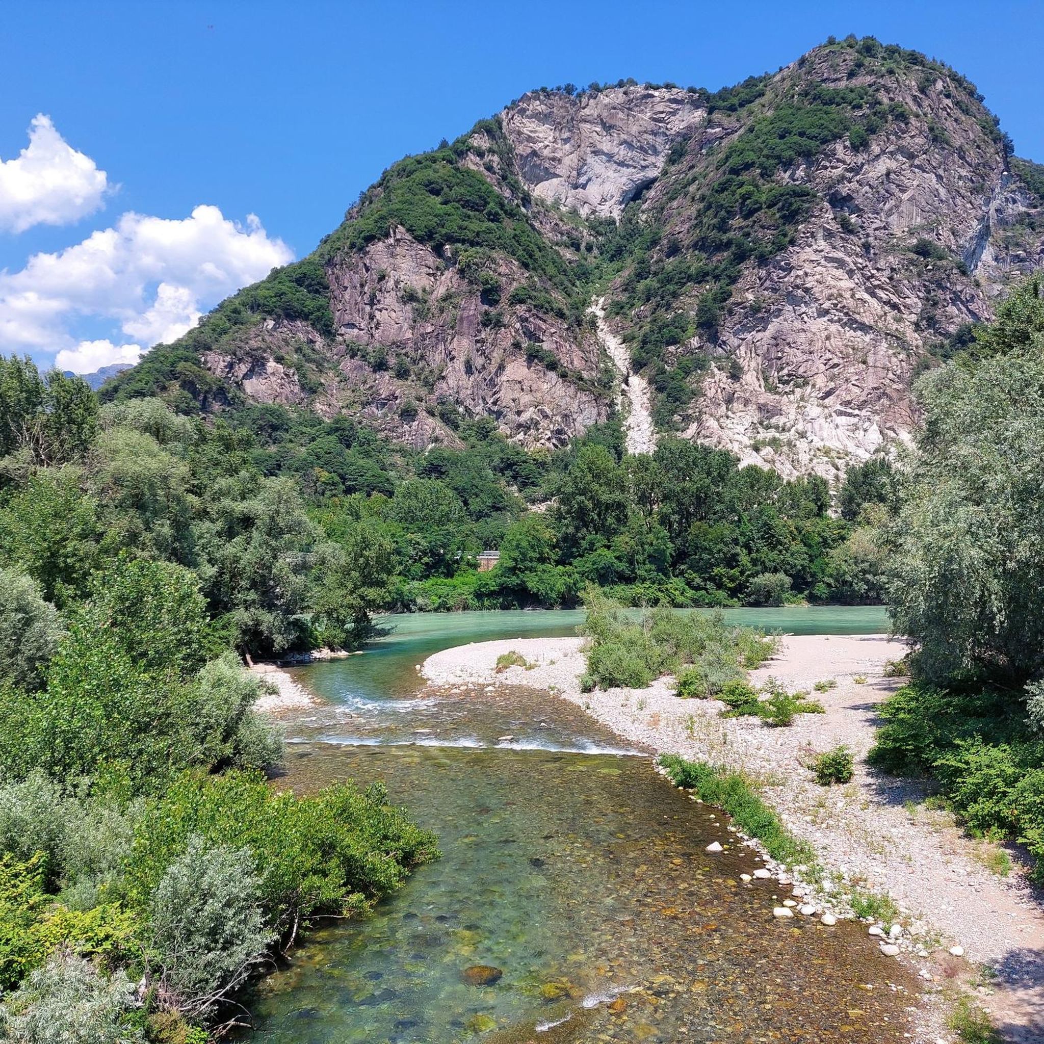
다리 입구와 출구에는 이론상 오토바이 통행을 막기 위한 장애물이 있습니다. 결과: 짐이 실린 자전거, 트레일러 또는 세발자전거로 통과하기가 어렵습니다 :-/
0
0


Beautiful stretch, I will do it again when the weather is good
0
0


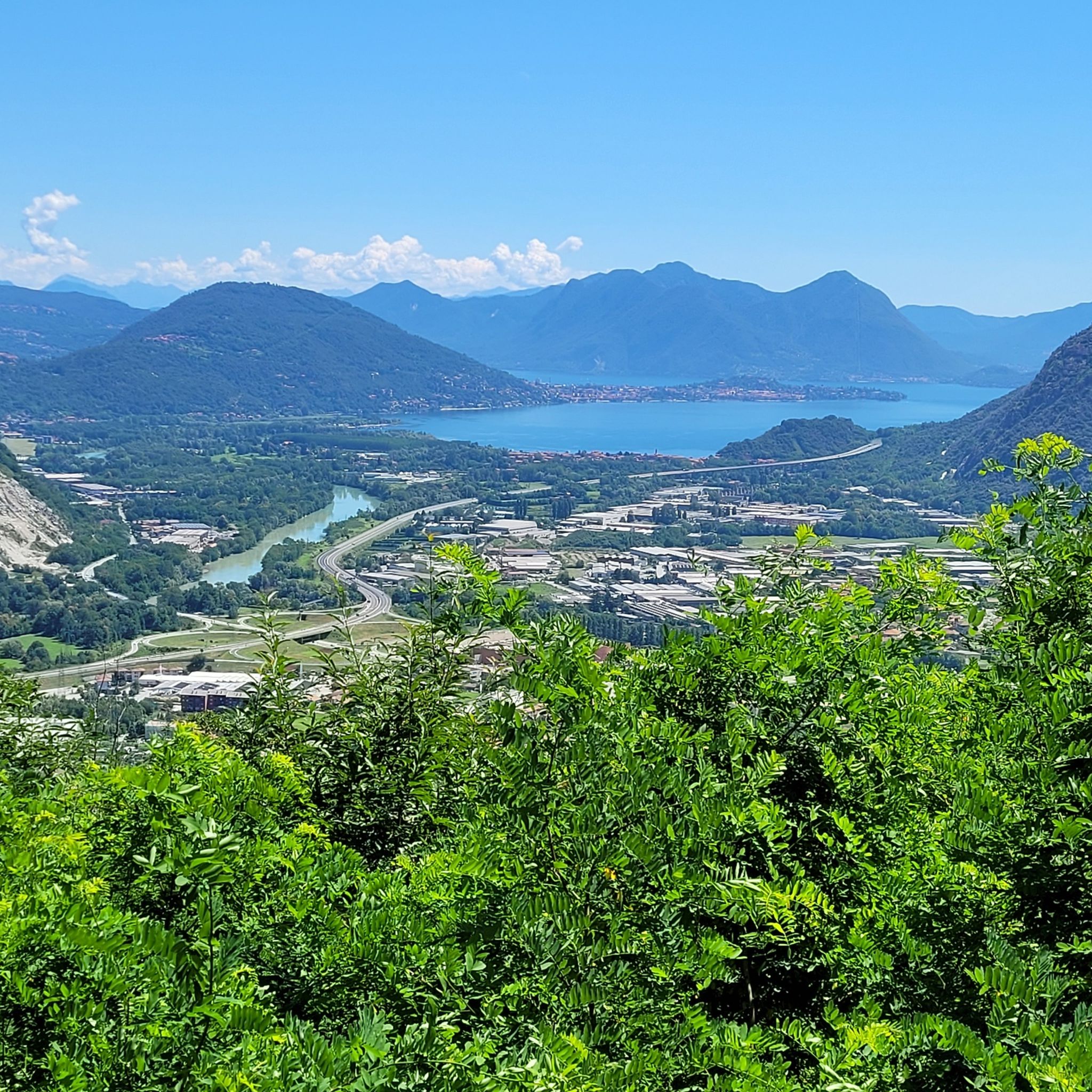
"Lagh da Margözz" in the Ossola dialect, this fascinating body of water is located in the Lepontine Alps and owes its name to the municipality that overlooks it. Here, also thanks to the clarity of its waters, water sports such as canoeing, kayaking, windsurfing are practiced.
1
0

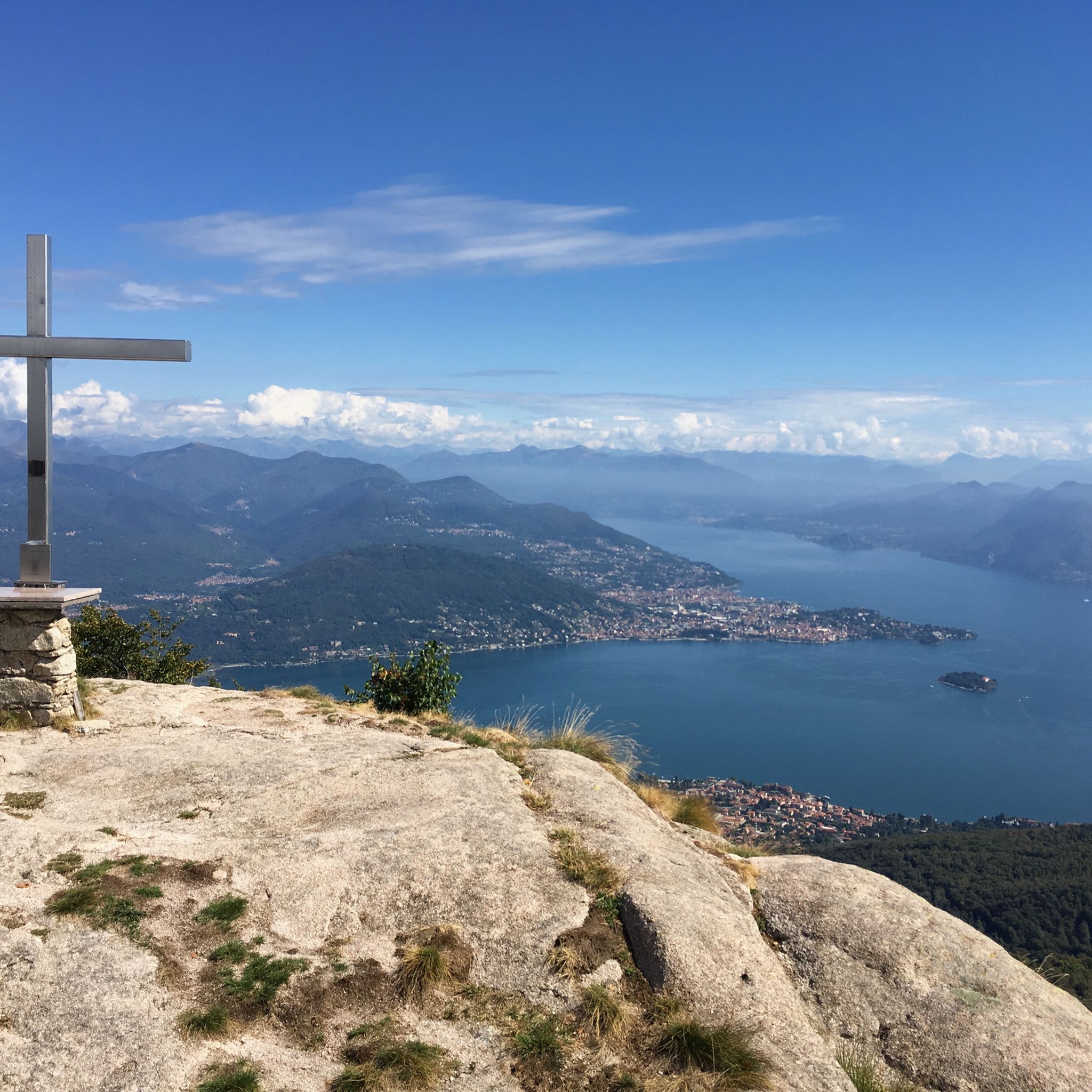
Magnificent view, therefore only enjoyable in good weather. I also took off from here with a paraglider. A couple of times I continued up to Mt. Massone, adding another 460m of altitude difference, and at 2161m the view is even wider. The climb is always exposed to the sun, better to avoid July and early August.
2
0
Very rewarding route for the view.... and how many take-offs from m. Croce, with paragliding! I also continued up to m. MASSONE, then returning to the valley to the right (descending) of the ascent ridge, up to alpe Bagnone and then returning to Quaggione, beautiful. I recommend choosing a day of clear skies.
0
1


더 살펴보기
다른 지역의 최고의 러닝 트레일 & 경로를 살펴보세요.
