슈베프니츠 최고의 워킹 & 하이킹 경로
4.7
(5095)
16,294
등산객
87
하이킹
Komoot에 등록된 슈베프니츠 내 트레일 및 경로 컬렉션 중에서 하이킹과 워킹을 가장 멋지게 즐길 수 있는 곳을 알려드릴게요. 아래에서 각 경로의 상세 정보를 모두 확인한 후, 슈베프니츠 속 자연에서 즐거운 시간을 누려보세요.
마지막 업데이트: 11월 9, 2026
4.3
(6)
34
등산객
5.97km
01:31
20m
20m
초급용 하이킹. 쉽게 걸을 수 있는 길.
4.6
(9)
42
등산객
8.16km
02:05
30m
30m
보통 하이킹. 좋은 체력 필요. 쉽게 걸을 수 있는 길.

4.3
(3)
23
등산객
4.33km
01:06
10m
10m
초급용 하이킹. 쉽게 걸을 수 있는 길.
4.9
(8)
14
등산객
12.9km
03:17
40m
40m
보통 하이킹. 좋은 체력 필요. 쉽게 걸을 수 있는 길.
5.0
(8)
14
등산객
11.9km
03:01
30m
30m
보통 하이킹. 좋은 체력 필요. 쉽게 걸을 수 있는 길.
더 다양한 경로와 다른 탐험가들의 추천을 살펴보세요.
이미 komoot 계정이 있나요?
투어 추천은 다른 사람들이 komoot에서 완료한 수천 개의 활동을 바탕으로 구성되어 있습니다.
오늘 무료 계정으로 시작하세요
다음 모험이 기다리고 있어요.
커뮤니티 팁

슈베프니츠(Schwepnitz)의 발전에 관한 멋진 사진 갤러리
0
0

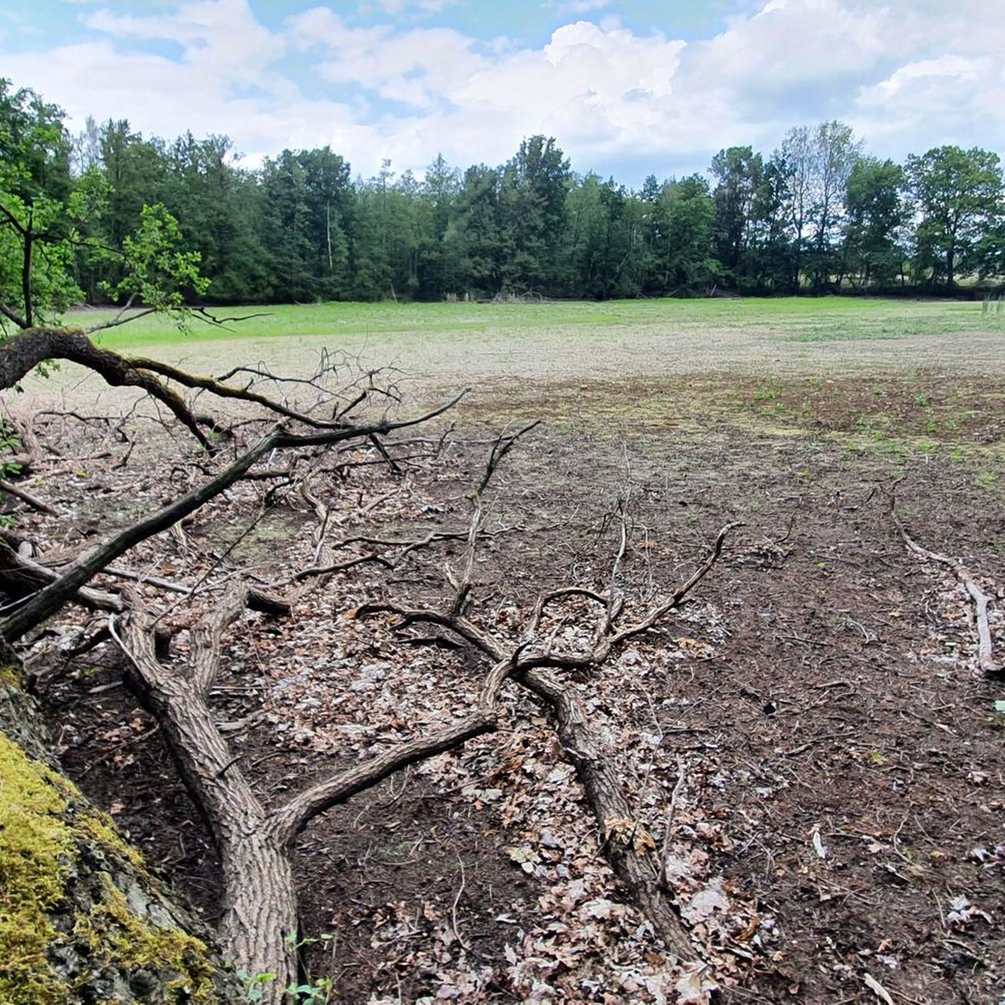
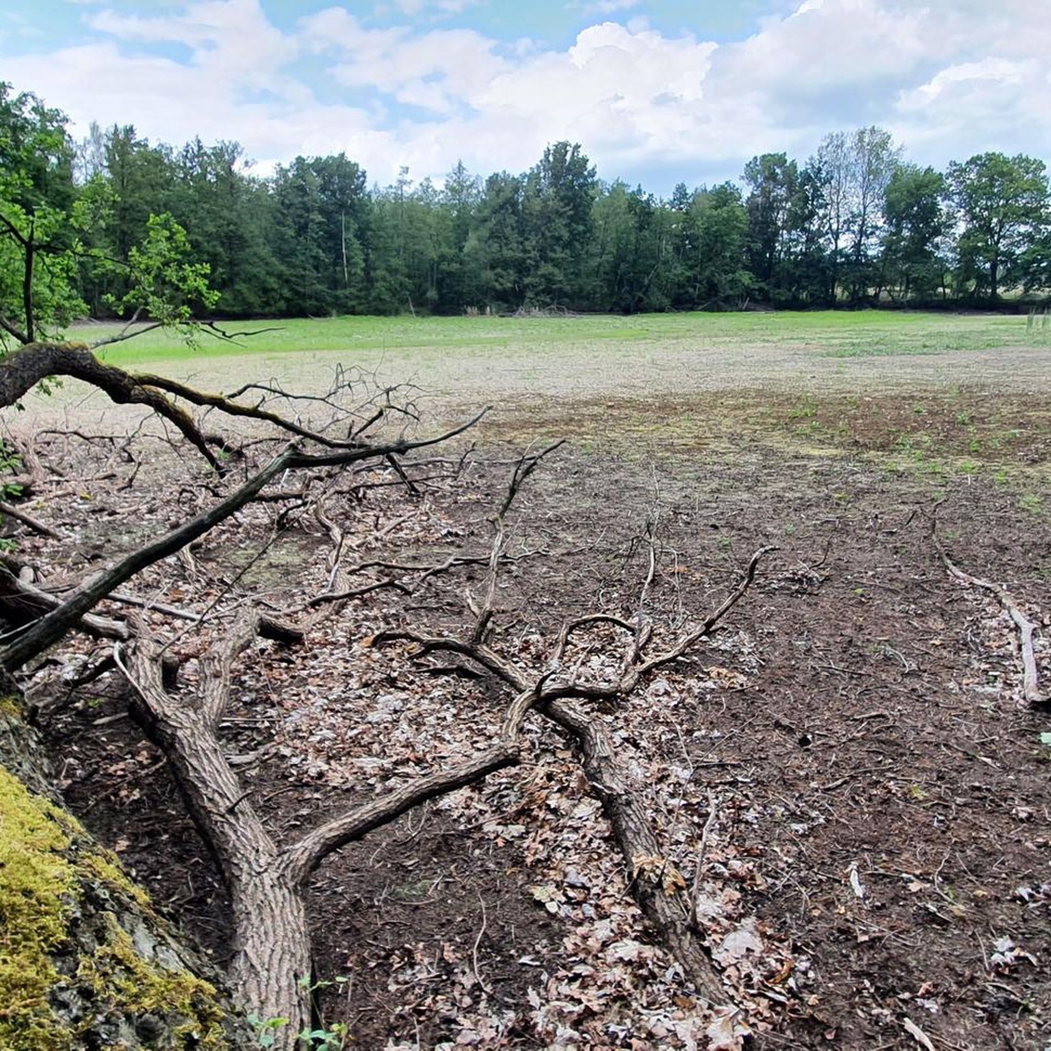
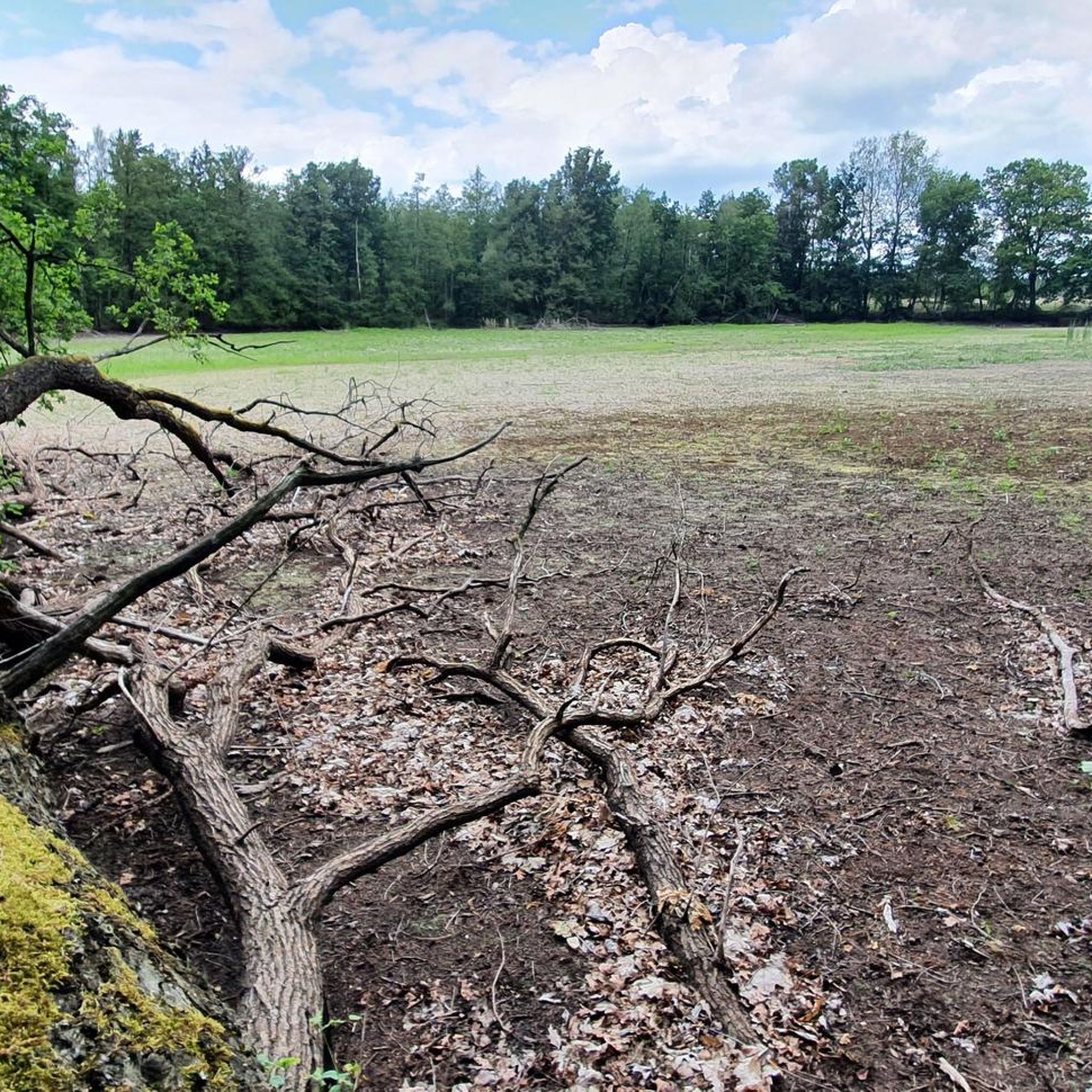
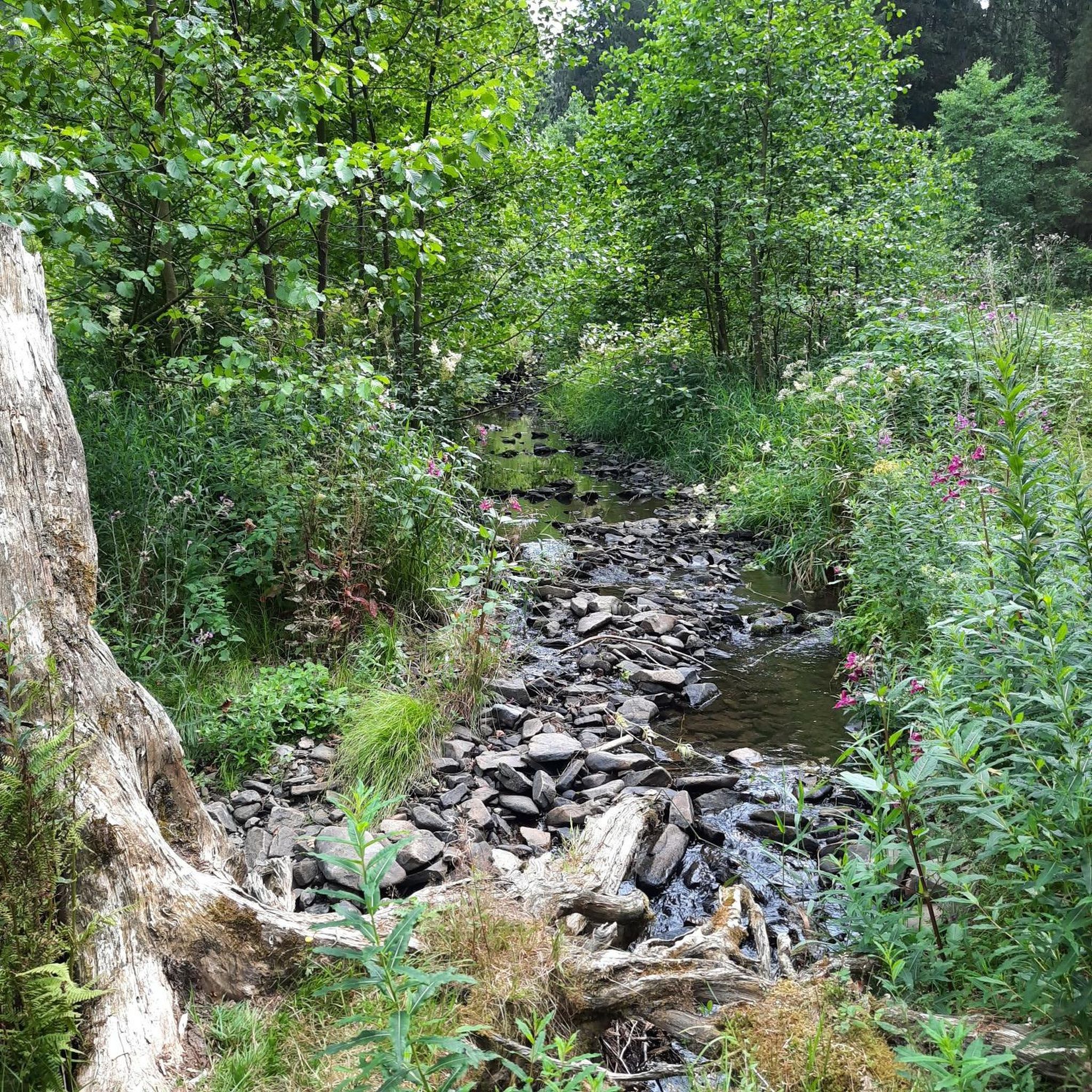
A very idyllic place to linger. Pure nature!
0
0

A parking lot with information boards and rest areas.
0
0

Nice place to take a break right next to a hiking parking lot.
0
0
Nice pond to drive past. It's not really worth stopping by for a break.
0
0


As a result of the Congress of Vienna in 1815, the state border was moved in favor of Prussia and the new border had to be measured and marked in the following years. For this purpose, boundary stones were set and numbered consecutively. Sometimes there are 2 stones, tw. only one. The Prussian stones or, if there was only one stone, the Prussian side were painted black and white, the Saxon ones green and white. Between the larger boundary stones, which were primarily located at junctions, there were smaller stretcher stones that marked the boundary in detail. See also the landmark list on Wikipedia. The left colorless - Prussian - stone is a copy that was erected at some point. The colored - Saxon - stone is painted in the Oberlausitz colors, which was done later and only here. The original of the Prussian stone is now in the lapidary of the road maintenance department, because after the road renovation it lay unnoticed in the ditch for a long time and the ladder wanted to secure the stone. Today the stone is used as an object for the trainees to see.
0
0
슈베프니츠 주변에서 가장 인기 있는 명소


더 살펴보기
다른 지역의 최고의 하이킹를 살펴보세요.
