슈벤디바흐 최고의 MTB 라이딩 경로
4.5
(1920)
11,708
자전거 타는 사람
350
라이딩
슈벤디바흐에 있는 멋진 산악자전거 라이딩 경로를 따라 어디로 가 볼까요? 슈벤디바흐에 있는 MTB 경로 컬렉션 중에서 가장 멋진 장소를 아래에서 살펴보세요.
마지막 업데이트: 8월 22, 2026
4.4
(55)
308
자전거 타는 사람
30.7km
02:51
920m
920m
어려운 산악 자전거 타기. 우수한 체력 필요. 실력과 관계없이 누구나 갈 수 있음.
4.5
(35)
245
자전거 타는 사람
36.8km
02:34
300m
300m
보통 산악 자전거 타기. 좋은 체력 필요. 실력과 관계없이 누구나 갈 수 있음.

무료 회원 가입
4.4
(21)
168
자전거 타는 사람
41.2km
03:44
1,100m
1,100m
어려운 산악 자전거 타기. 우수한 체력 필요. 실력과 관계없이 누구나 갈 수 있음.
4.3
(22)
117
자전거 타는 사람
62.5km
04:50
890m
890m
보통 산악 자전거 타기. 좋은 체력 필요. 뛰어난 라이딩 실력이 필요함.
4.8
(12)
60
자전거 타는 사람
54.1km
04:45
1,300m
1,300m
어려운 산악 자전거 타기. 우수한 체력 필요. 실력과 관계없이 누구나 갈 수 있음.
더 다양한 경로와 다른 탐험가들의 추천을 살펴보세요.
무료 회원 가입
이미 komoot 계정이 있나요?
투어 추천은 다른 사람들이 komoot에서 완료한 수천 개의 활동을 바탕으로 구성되어 있습니다.
오늘 무료 계정으로 시작하세요
다음 모험이 기다리고 있어요.
로그인 또는 가입하기
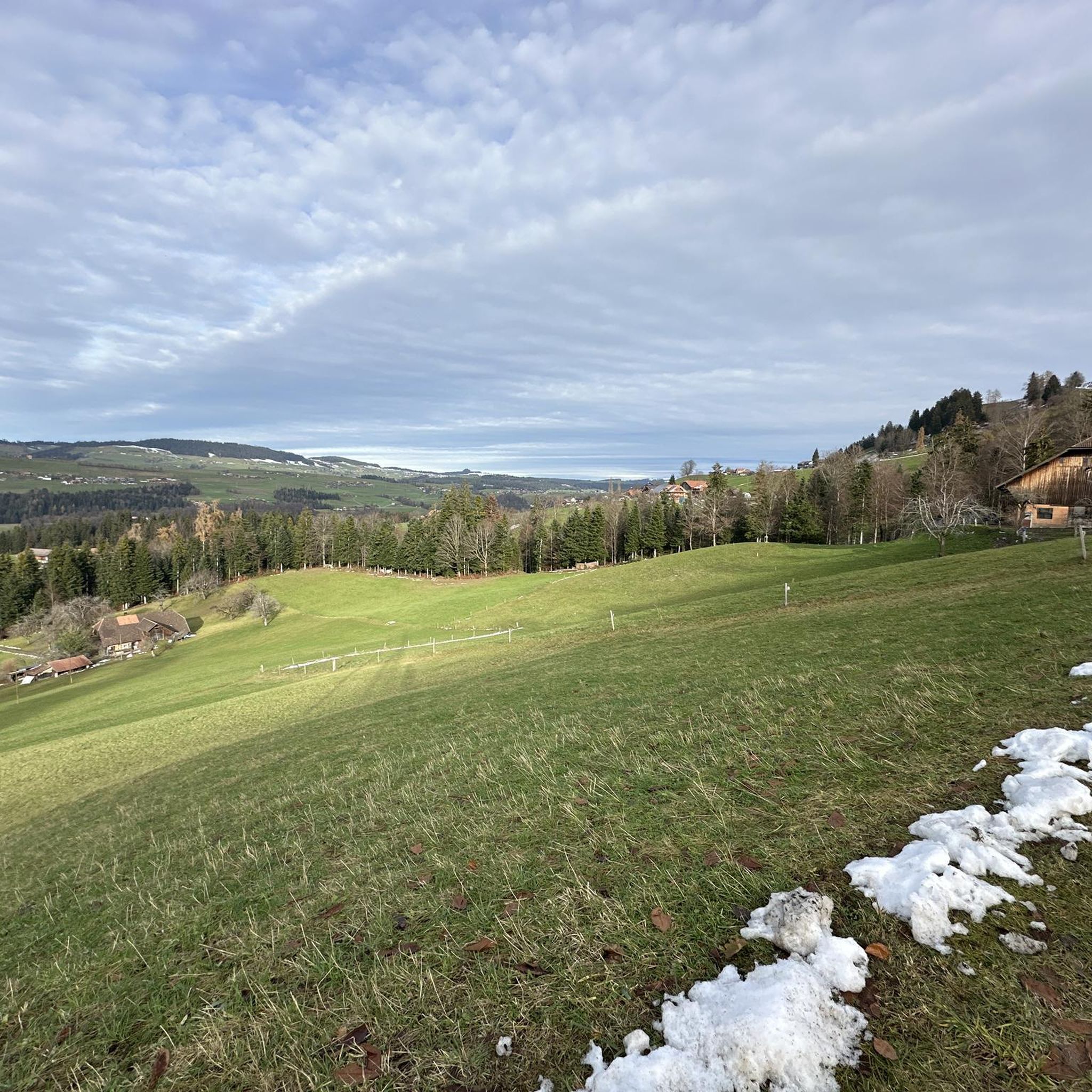
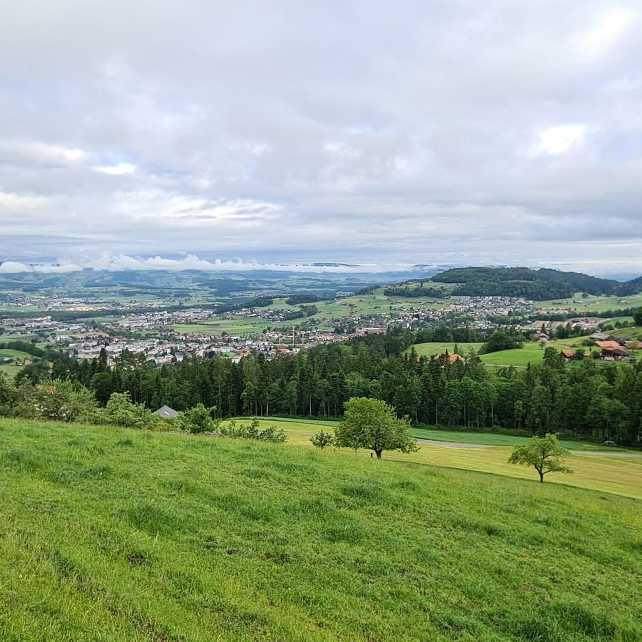
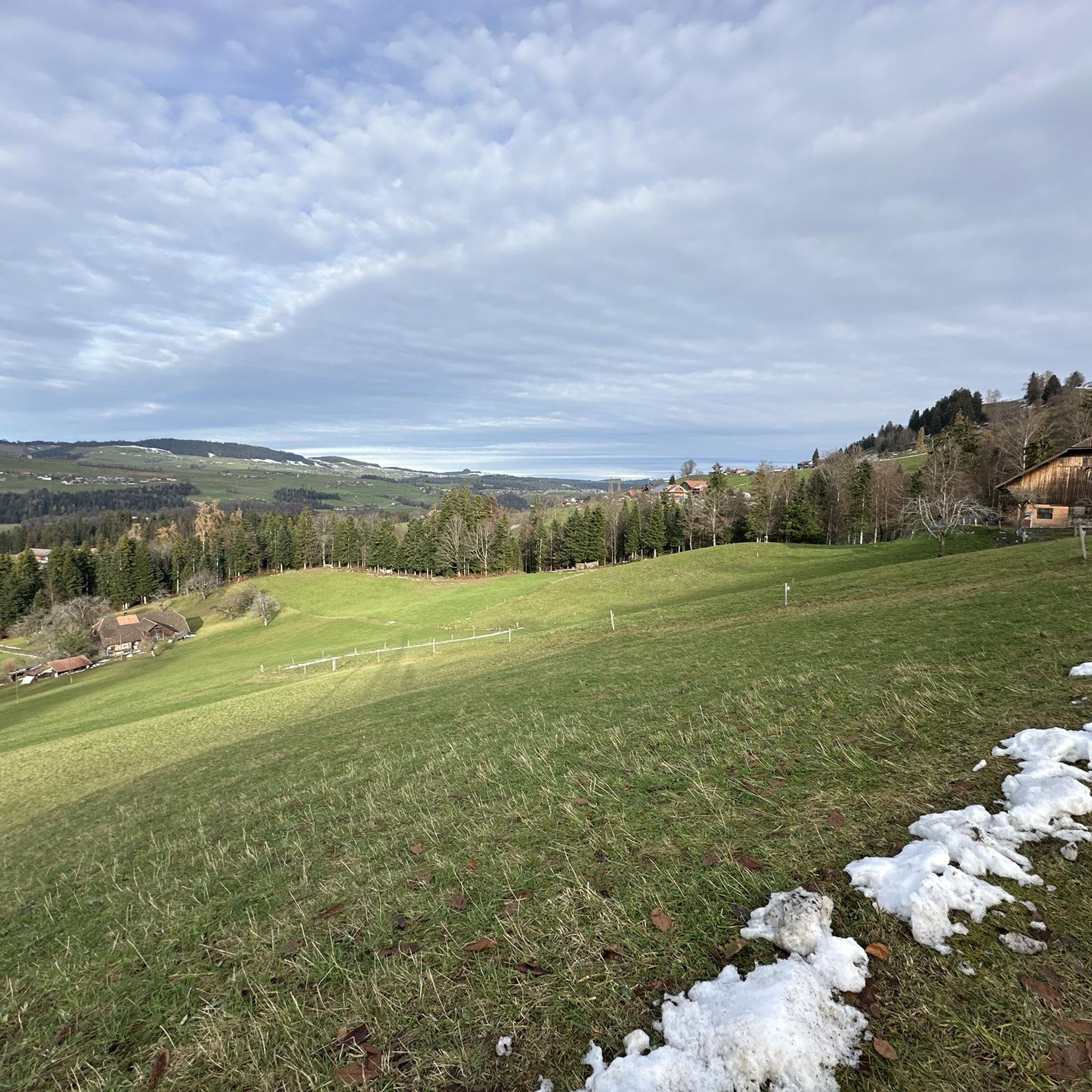
커뮤니티 팁

A popular promenade when the sun is shining.
0
0

Beautiful place, with beautiful views! Afterwards, there are also some easy, challenging trails.
0
1

An unknown but beautiful high-altitude trail between the striking Falkenfluh (approx. 1,400 m) and Aeschlenalp. The route runs along an open ridge with meadows, forests, and magnificent views of the Bernese Oberland and Emmental valleys. Route: From the summit of Falkenfluh (accessible on foot or by bike), follow the partly wooded ridge westward to Aeschlenalp. The trail is unmarked but clearly visible – mostly a path or alpine trail. Character: 🔸 Easy to moderate 🔸 Quiet & quiet 🔸 Consistently beautiful views of the Niesen, the Aare Valley, and Lake Thun 👀🌤️ 🔸 Ideal as a circular tour (e.g., from Schwarzenegg or Heimenschwand) Highlights: ✅ Wide, open ridge sections ✅ Alpine meadows, animals, and typical foothill landscapes ✅ Ideal for sunset or a picnic along the way 🌅🥪
1
0
Start, for example, in Heimenschwand or Steffisburg, first on paved and forest paths to Aeschlenalp. From there, it gets steeper and more challenging – the ascent to Falkenfluh (approx. 1,400 m) requires stamina and solid riding technique. Highlights: ✅ Idyllic Aeschlenalp with meadows and an Alpine panorama ✅ Fantastic view from Falkenfluh over the Aare Valley and Lake Thun ✅ Quiet, natural route away from the hustle and bustle ✅ Some trail sections on the descent (depending on the route) Terrain: 80% natural paths and alpine roads, 20% paved. Only partially suitable for gravel bikes. Equipment: MTB or e-MTB 🚵♀️, helmet ⛑️, plenty of water 💧, snacks (possibly), sun/rain protection 🧢🧥
0
0

Cooler smaller trail…(but turn right back up to the road in time)
0
0

Very nice barbecue area with a view
0
0

The Niesenbänkli is unfortunately mostly occupied, but a visit is always worthwhile
0
0


더 살펴보기
다른 지역의 최고의 MTB 트레일를 살펴보세요.
