쿨리에리/쿨리에리 최고의 MTB 라이딩 경로
4.2
(57)
287
자전거 타는 사람
23
라이딩
쿨리에리/쿨리에리에 있는 멋진 산악자전거 라이딩 경로를 따라 어디로 가 볼까요? 쿨리에리/쿨리에리에 있는 MTB 경로 컬렉션 중에서 가장 멋진 장소를 아래에서 살펴보세요.
마지막 업데이트: 8월 30, 2026
5.0
(3)
6
자전거 타는 사람
36.7km
02:52
660m
660m
Mountain biking the difficult Seneghe dalla costa di Cuglieri loop offers 22.8 miles (36.7 km) of Sardinian coastal and inland views.
4.5
(13)
63
자전거 타는 사람
47.8km
03:47
210m
210m
어려운 산악 자전거 타기. 좋은 체력 필요. 뛰어난 라이딩 실력이 필요함. 투어 중 자전거를 끌고 가야 하는 구간이 있을 수 있음.

무료 회원 가입
4.8
(4)
20
자전거 타는 사람
51.3km
04:24
1,180m
1,180m
어려운 산악 자전거 타기. 우수한 체력 필요. 뛰어난 라이딩 실력이 필요함.
4.8
(4)
17
자전거 타는 사람
37.0km
03:27
960m
970m
어려운 산악 자전거 타기. 우수한 체력 필요. 실력과 관계없이 누구나 갈 수 있음.
4.9
(7)
16
자전거 타는 사람
45.2km
04:16
1,160m
1,160m
어려운 산악 자전거 타기. 우수한 체력 필요. 실력과 관계없이 누구나 갈 수 있음.
더 다양한 경로와 다른 탐험가들의 추천을 살펴보세요.
무료 회원 가입
이미 komoot 계정이 있나요?
투어 추천은 다른 사람들이 komoot에서 완료한 수천 개의 활동을 바탕으로 구성되어 있습니다.
오늘 무료 계정으로 시작하세요
다음 모험이 기다리고 있어요.
로그인 또는 가입하기

쿨리에리/쿨리에리 주변의 다른 모험

커뮤니티 팁


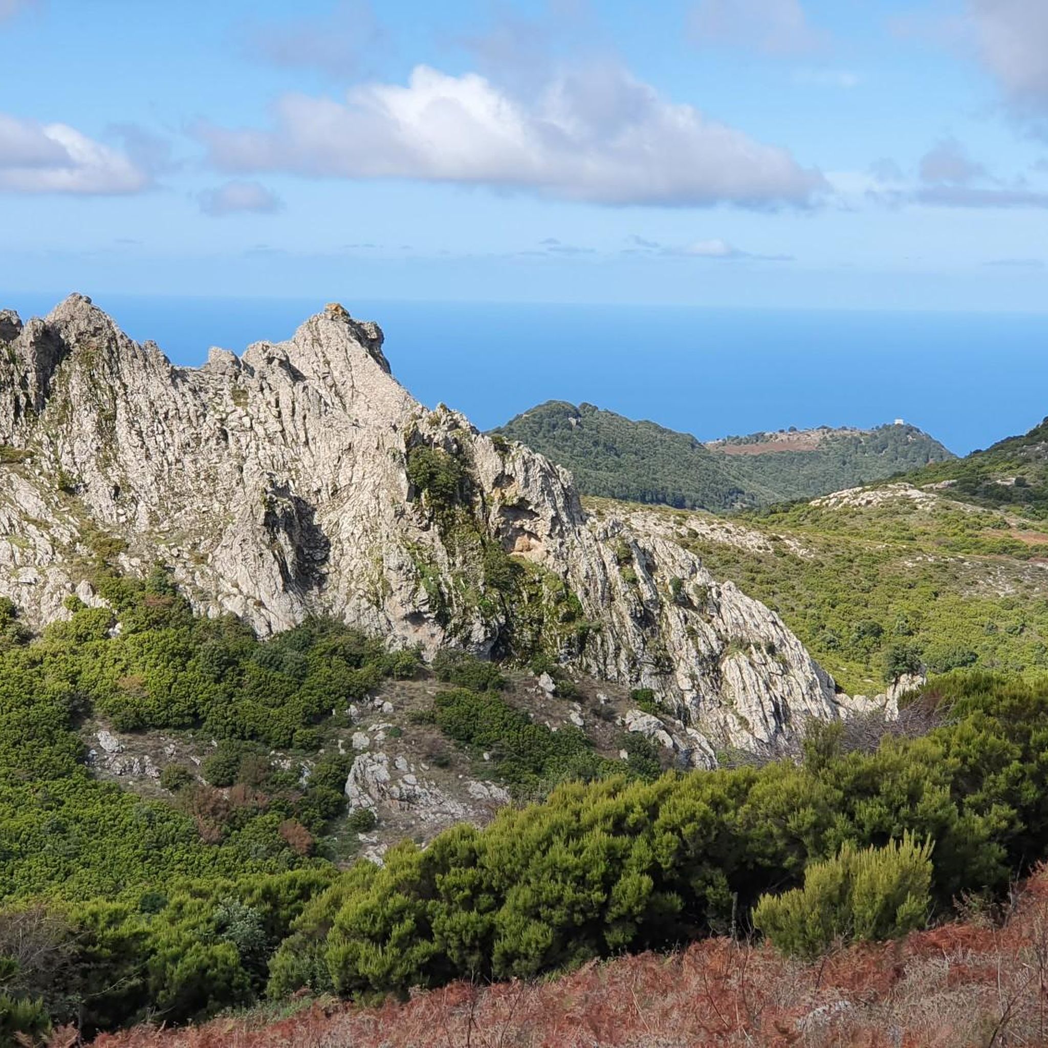
It is located in the municipality of Santu Lussurgiu (OR) A spectacular rocky peak of Montiferru that reaches an altitude of 970 meters. The west side is vertical, while the east side is inclined and climbable. On the summit there are the remains of a megalithic fortification, also known as Rocca 'e su Para, a toponym attributed, it seems, for the use of the fortress by Camaldolese friars as a place of prayer.
0
0
A thin, curved strip of very fine quartz grains, almost two kilometres long, separates the turquoise sea from the Sa Salina Manna pond. It is the splendid beach of Putzu Idu, called ‘cala Saline’ and sheltered from the mistral, which extends north of the magnificent s’Arena Scoada and reaches the beach of Mandriola. The quartz sand is white and soft. The waters offer, with the changing light, suggestive shades from green to blue. The sandy seabed is shallow for dozens of metres.
1
0

Beautiful in every season, but watch out for traffic: the best view of the promontory is from an area of the road without lay-bys.
1
0

Disappointment... we are experienced hikers. We followed the route to the letter and found ourselves on barely marked paths overgrown with vegetation (brambles, thistles). The way back is no better: tarmac road used by many trucks. Hiking to be completely revised because it is impassable on many sections.
0
0

Near the building there is an area equipped for picnics
0
0
Imposing peak, maximum height of 986. From the top you can see a wonderful panorama
0
0
쿨리에리/쿨리에리 주변에서 가장 인기 있는 명소


더 살펴보기
다른 지역의 최고의 MTB 트레일를 살펴보세요.
