4.4
(55)
237
자전거 타는 사람
61
라이딩
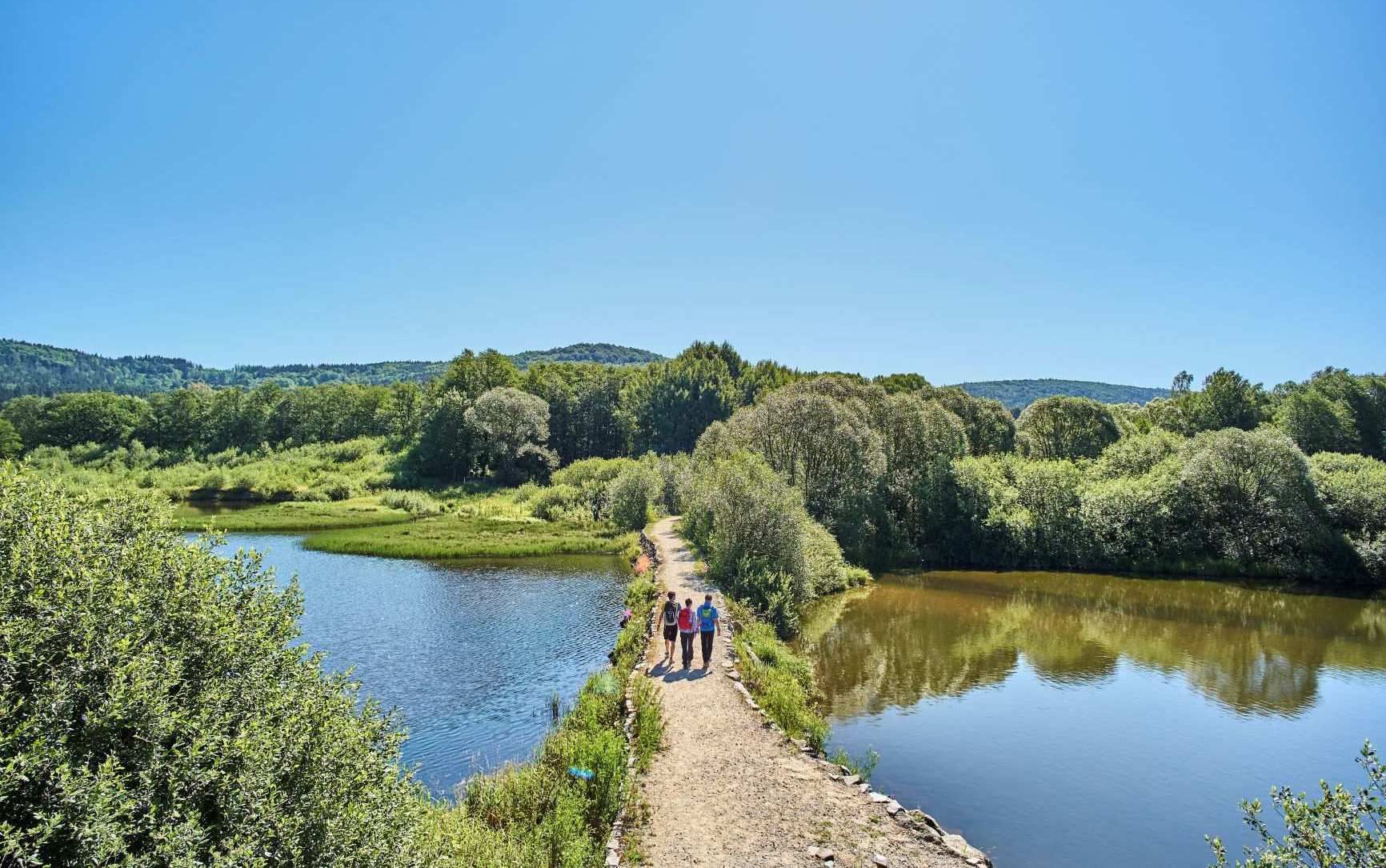
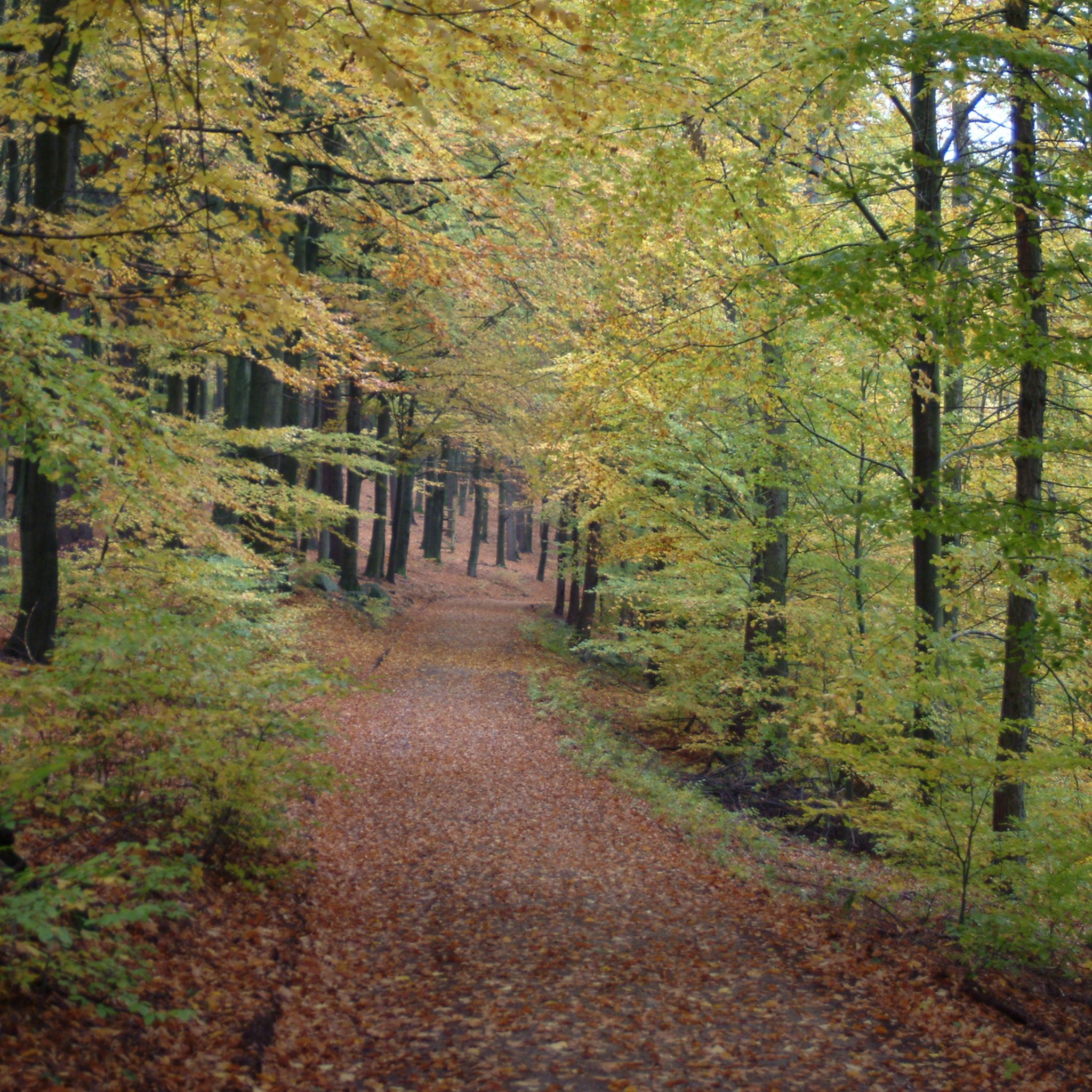
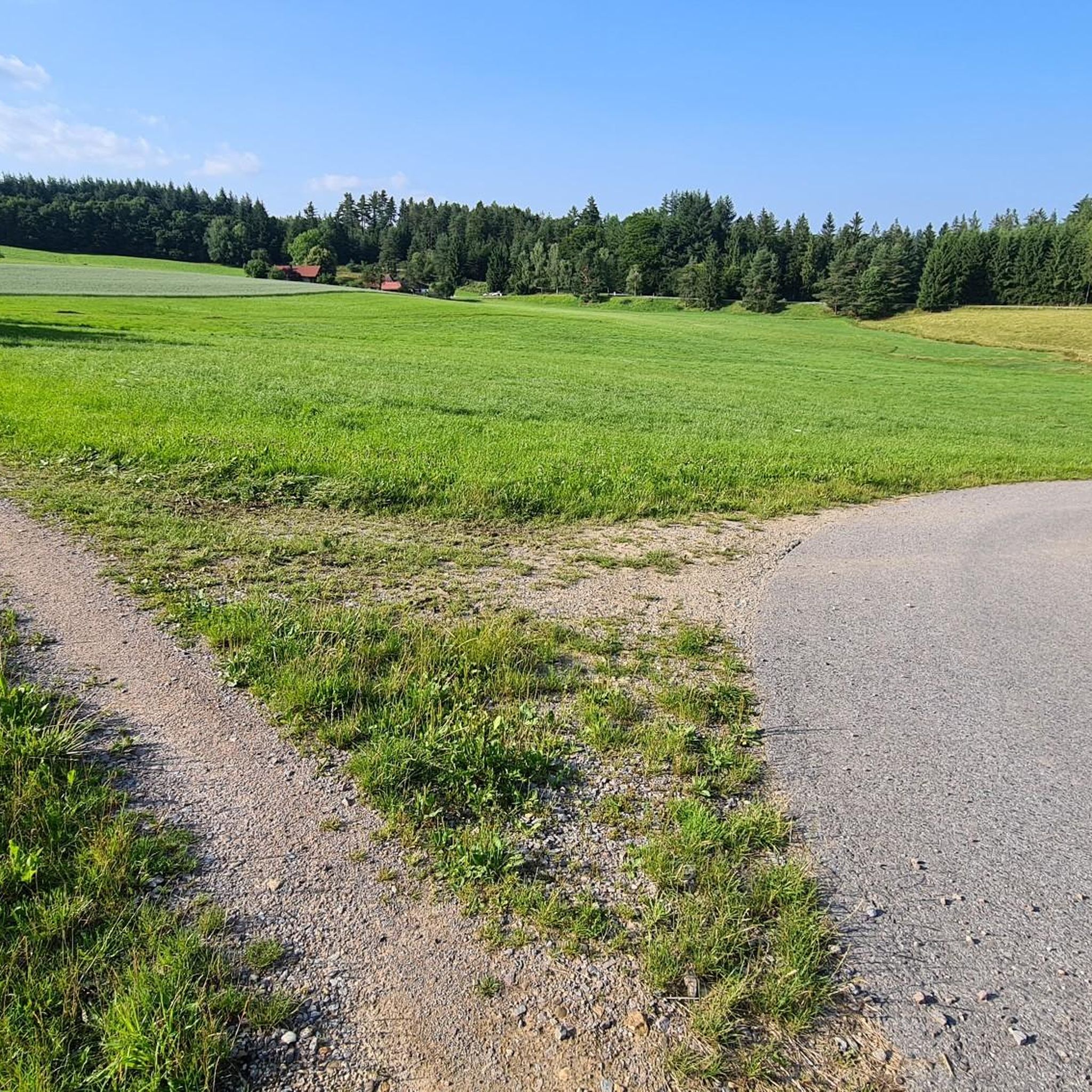
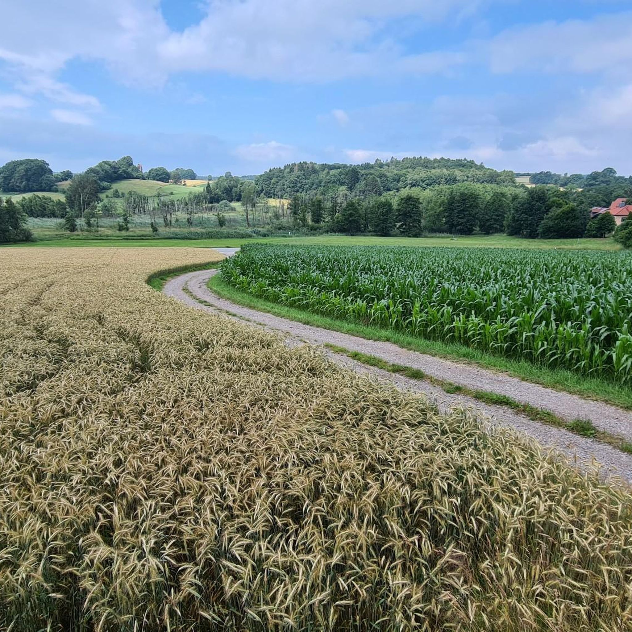
산악 자전거를 타기 좋은 위젠펠덴 지역은 포르데레르 바이에리셔 발트 내 해발 650미터 고원에 다양한 지형을 제공합니다. 이 지역은 넓은 숲, 수많은 연못, 완만한 언덕이 특징이며, 산악 자전거 코스에 다양한 조건을 제공합니다. 라이더들은 잘 관리된 길과 아름다운 경치를 특징으로 하는 때묻지 않은 자연 경관을 탐험할 수 있습니다. 자연 보호 구역과 울창한 계곡은 이 지역에서 풍부한 야외 경험을 선사합니다.
마지막 업데이트: 7월 18, 2026
4.9
(9)
24
자전거 타는 사람
35.0km
02:53
580m
580m
보통 산악 자전거 타기. 좋은 체력 필요. 뛰어난 라이딩 실력이 필요함.
5.0
(3)
13
자전거 타는 사람
25.7km
02:09
530m
530m
보통 산악 자전거 타기. 좋은 체력 필요. 뛰어난 라이딩 실력이 필요함.

무료 회원 가입
5.0
(1)
10
자전거 타는 사람
29.0km
02:29
520m
520m
어려운 산악 자전거 타기. 좋은 체력 필요. 뛰어난 라이딩 실력이 필요함. 투어 중 자전거를 끌고 가야 하는 구간이 있을 수 있음.
3.0
(1)
9
자전거 타는 사람
44.5km
02:42
250m
250m
보통 산악 자전거 타기. 좋은 체력 필요. 실력과 관계없이 누구나 갈 수 있음.
5.0
(1)
5
자전거 타는 사람
31.5km
02:42
530m
530m
보통 산악 자전거 타기. 좋은 체력 필요. 뛰어난 라이딩 실력이 필요함.
더 다양한 경로와 다른 탐험가들의 추천을 살펴보세요.
무료 회원 가입
이미 komoot 계정이 있나요?
투어 추천은 다른 사람들이 komoot에서 완료한 수천 개의 활동을 바탕으로 구성되어 있습니다.
오늘 무료 계정으로 시작하세요
다음 모험이 기다리고 있어요.

로그인 또는 가입하기
The Straubing Lock was built in 1993 as part of the Straubing Weir project to ensure the navigability of the Danube. The lock chamber is located at Danube kilometer 2322.02. With a chamber length of 264 m, it has a usable length of 230 m and a usable width of 24 m. The lock chamber is constructed of concrete and is closed at both the upper and lower gates by a double-leaf mitre gate. Each mitre gate weighs 83 t. The 14-meter-high and 12-meter-wide steel gates rest on a spherical bearing. The chamber is filled and emptied via bypass channels, each with two bypass gates at the upper and lower gates. The chamber fills in 20 minutes with a lock water volume of 44,000 m³. A lockage takes 25 minutes. The lock has a total capacity of 73,000 m³. [1] The level of the upper edge of the lock platform is 321.5 m above sea level (NN), and the level of the lower lock sill is 308.7 m above sea level (NN). For maintenance and repair work on the gates and closures, the lock is equipped with a gantry crane with a lifting capacity of 100 tons, which can be moved along the entire length of the lock. At the associated weir of the Straubing power plant, the design impoundment level is 320 m above sea level (NN). The water level of the lower lock basin is 313.75 m above sea level (NN) at mean water level (MTF) and 312.32 m above sea level (NN) at regulated low water level (RNW). The corresponding head is 6.25 meters at MTF and 7.68 meters at MTW. An information panel at the facility states the lock head as 6.21 m. The lock is remotely controlled from the WSV control center in Regensburg. This control center also remotely operates the Geisling, Regensburg, and Bad Abbach locks. Originally, the Straubing lock was operated from the lock tower on site. Immediately below the lower lock gate, the Kagers Bridge crosses the Alte Donau lock canal. The Danube's kilometer markers show a discrepancy of 7.9 kilometers at the Straubing lock. Therefore, both kilometer markers 2330 and 2322 are present at the lock basin. Source: https://de.wikipedia.org/wiki/Schleuse_Straubing
1
0
Very beautiful chapel in the woods, very well-maintained and lovely
0
0
Idyllic property, unfortunately already in a state of severe disrepair...
1
0
다른 지역의 최고의 MTB 트레일를 살펴보세요.