위닝겐 최고의 MTB 라이딩 경로
4.5
(2045)
5,500
자전거 타는 사람
11
라이딩
위닝겐에 있는 멋진 산악자전거 라이딩 경로를 따라 어디로 가 볼까요? 위닝겐에 있는 MTB 경로 컬렉션 중에서 가장 멋진 장소를 아래에서 살펴보세요.
마지막 업데이트: 8월 25, 2026
4.6
(71)
311
자전거 타는 사람
44.2km
02:28
230m
230m
보통 산악 자전거 타기. 좋은 체력 필요. 실력과 관계없이 누구나 갈 수 있음.
4.9
(10)
31
자전거 타는 사람
45.1km
02:42
370m
370m
보통 산악 자전거 타기. 좋은 체력 필요. 실력과 관계없이 누구나 갈 수 있음.

무료 회원 가입
4.7
(39)
182
자전거 타는 사람
28.2km
01:39
80m
80m
초급용 산악자전거 라이딩. 모든 체력 수준에 적합. 실력과 관계없이 누구나 갈 수 있음.
5.0
(1)
20
자전거 타는 사람
18.6km
01:29
330m
330m
어려운 산악 자전거 타기. 좋은 체력 필요. 뛰어난 라이딩 실력이 필요함. 투어 중 자전거를 끌고 가야 하는 구간이 있을 수 있음.
8
자전거 타는 사람
24.9km
01:51
340m
340m
보통 산악 자전거 타기. 좋은 체력 필요. 뛰어난 라이딩 실력이 필요함.
더 다양한 경로와 다른 탐험가들의 추천을 살펴보세요.
무료 회원 가입
이미 komoot 계정이 있나요?
투어 추천은 다른 사람들이 komoot에서 완료한 수천 개의 활동을 바탕으로 구성되어 있습니다.
오늘 무료 계정으로 시작하세요
다음 모험이 기다리고 있어요.
로그인 또는 가입하기
위닝겐 주변 인기 장소
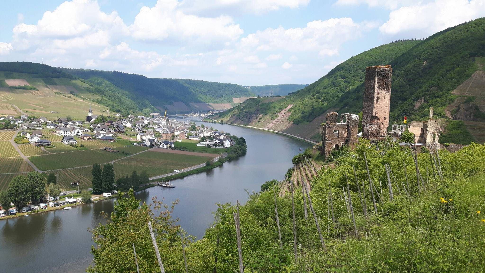
모젤스타이그 트레일 - 맑은 모젤 계곡의 24 구간
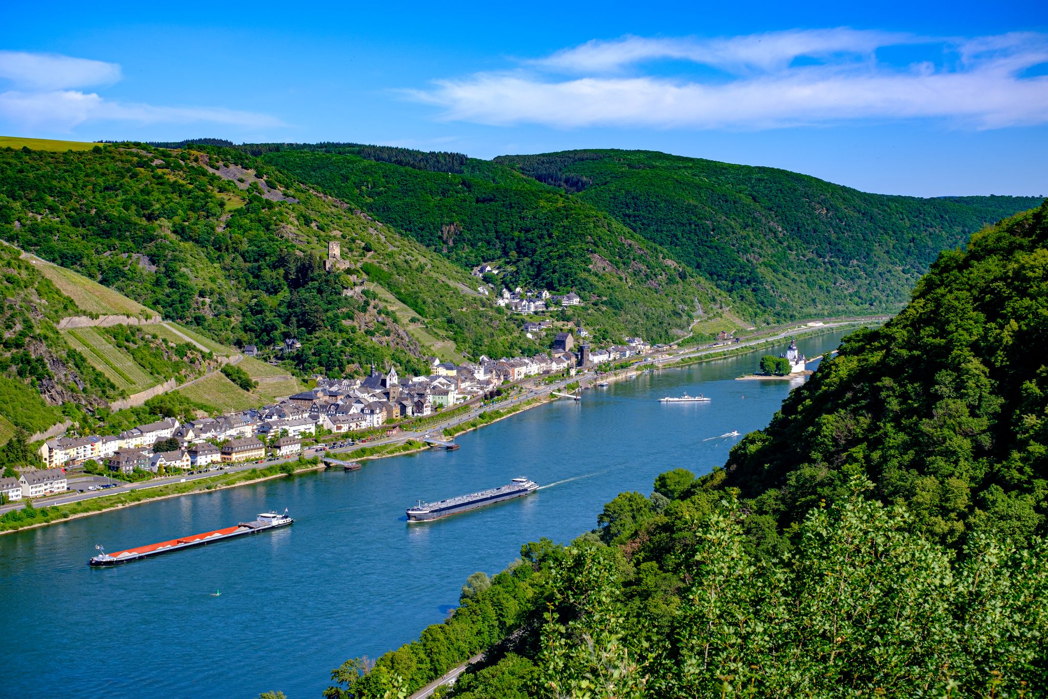
라인 성 트레일 – 순수한 라인 낭만주의의 13단계

Dream Trails in the Rhine-Mosel-Eifel Region – Small Trails, Great Nature
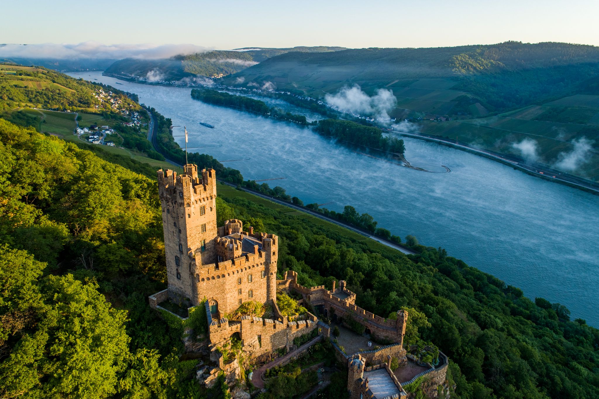
Stunningly beautiful – hiking on the RheinBurgenWeg
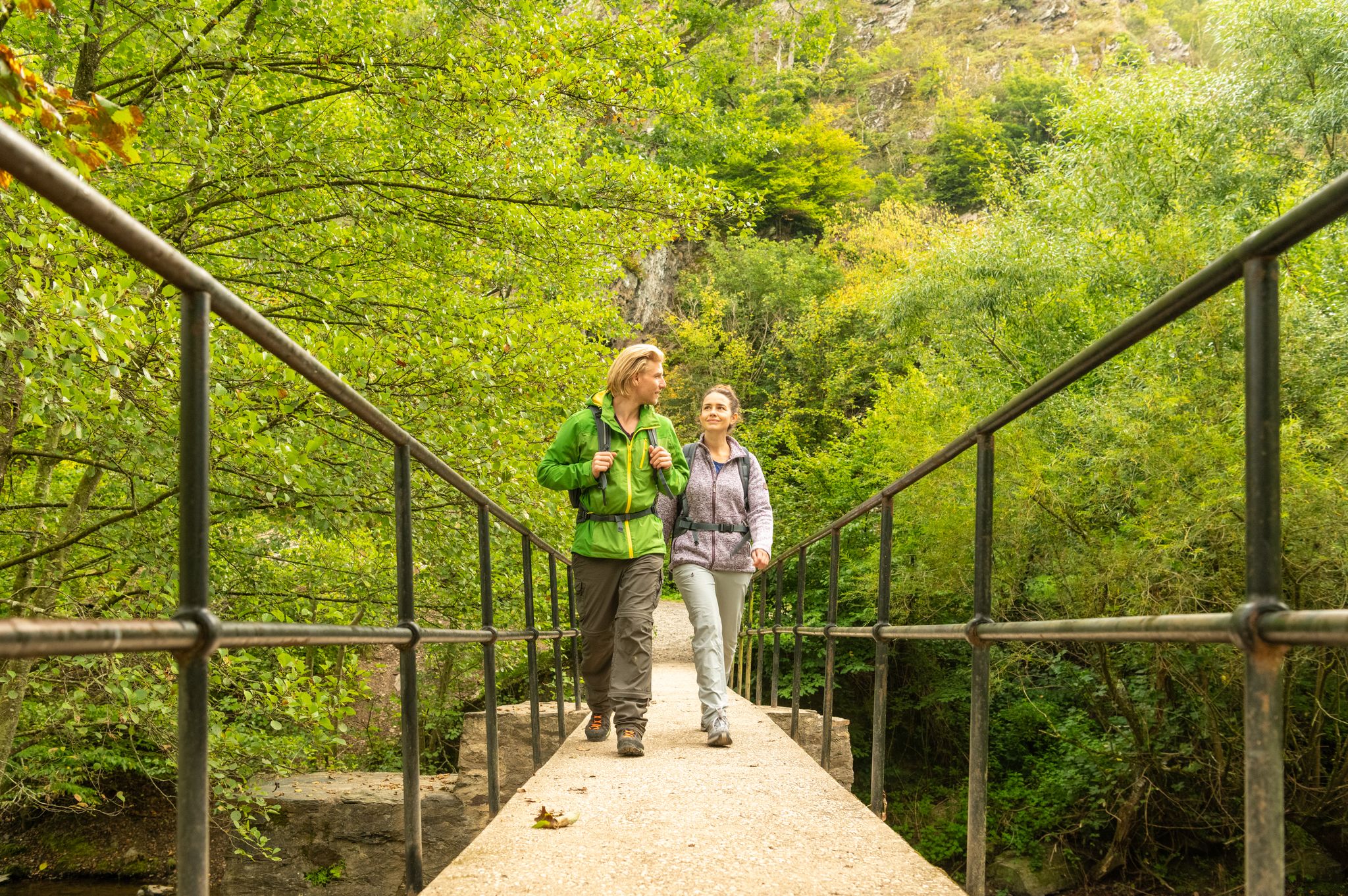
Moselsteig Partner Trails – nature, culture and views
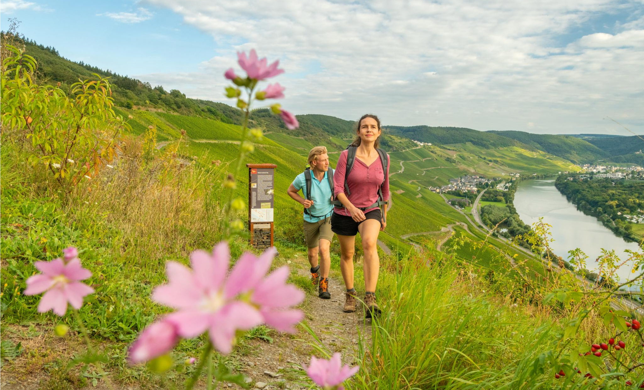
Moselsteig – 24 varied stages from Perl to Koblenz
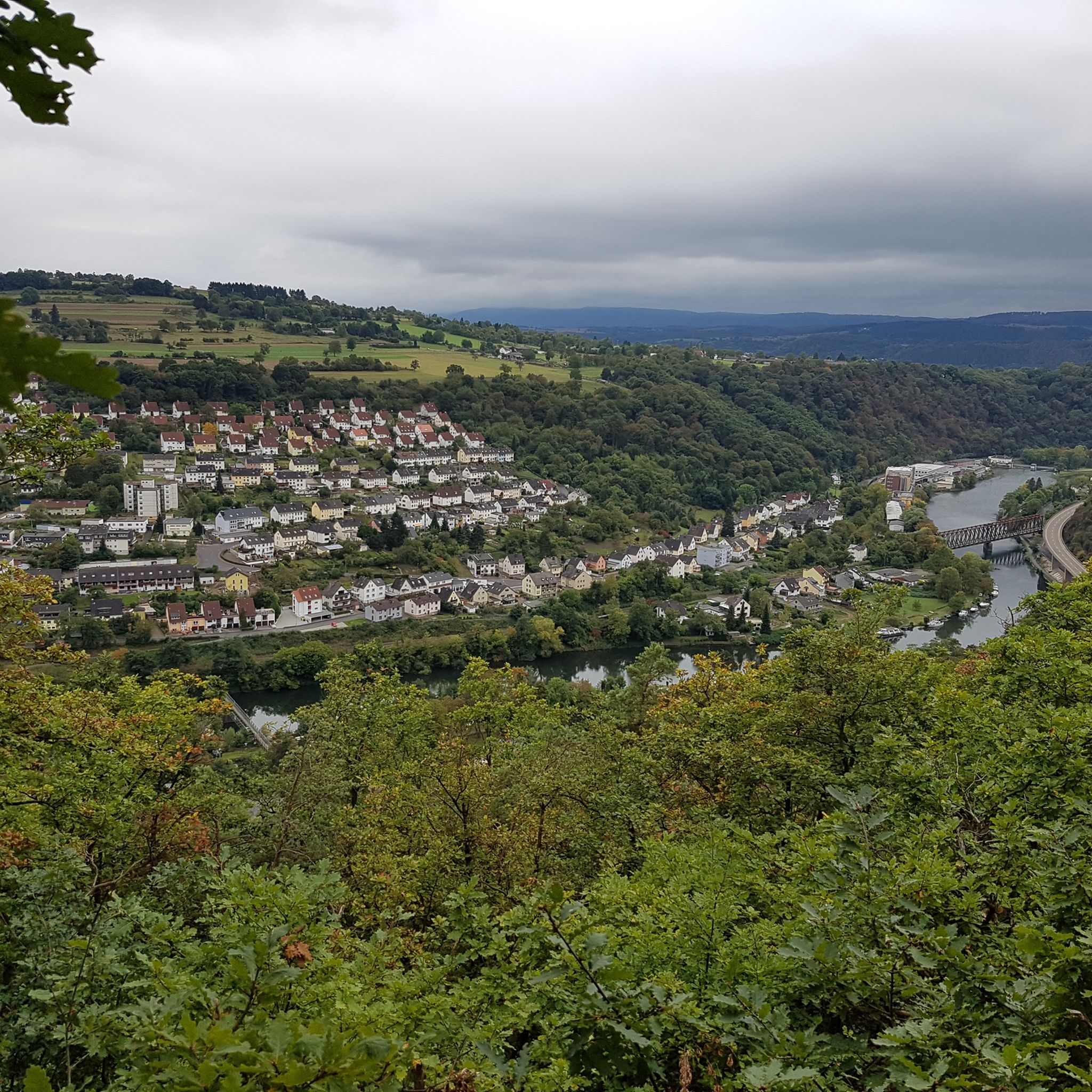
위닝겐 하이킹
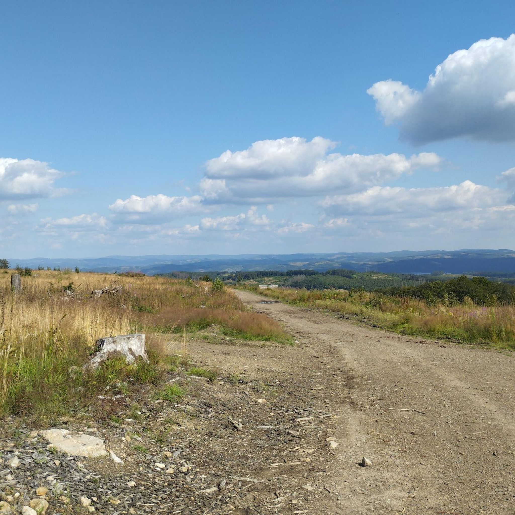
위닝겐 주변 그래블 라이딩
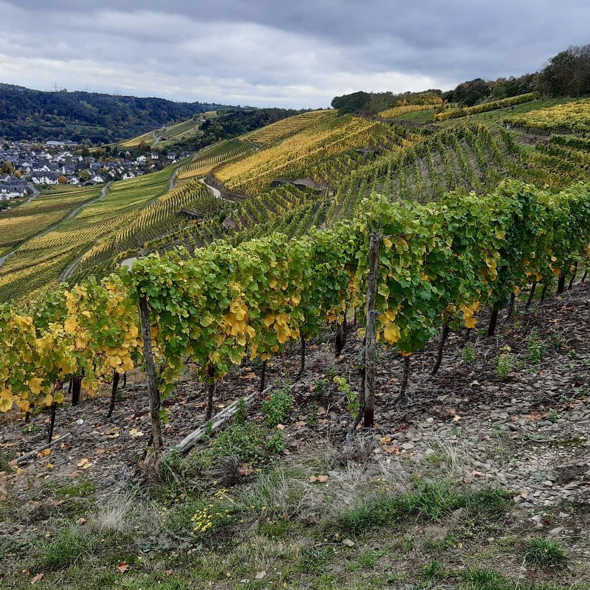
위닝겐 로드 사이클링 경로
위닝겐 사이클링
위닝겐 주변의 다른 모험


커뮤니티 팁

가파른 경사면을 가진 모젤 계곡은 매우 인상적이지만, 하단 부분의 자전거 도로는 아쉬운 점이 있습니다 🤷
0
0


훌륭합니다. 위에서 열리는 콘서트는 일반적으로 모두를 위한 것입니다.
2
0

포도밭 옆 자전거 도로는 도로 옆 자전거 도로보다 더 조용합니다. 도로 옆 자전거 도로는 속도를 높이는 데 좋습니다. 포도밭 자전거 도로에서는 소음이 적고 더 아름다운 전망을 볼 수 있습니다. Güls와 Winningen을 통과하며, 이곳에서는 휴식과 약간의 관광도 추천됩니다. 아름다운 목가적인 장소들, 올해의 Gülser Blütenfest와 1250주년 기념, 5월 1일 및 기타 다양한 축제에서, 그곳에서는 또한 인상적인 wutz가 blokkern에 있습니다.
1
0

Great viewpoint above Metternich and the Moselle River; Several trails lead downhill. Metternich Owl War Memorial on the Kimmelberg Keywords: War Memorial Subject area(s): Cultural Landscape Management, Regional Studies Municipality(ies): Koblenz District(s): Koblenz State: Rhineland-Palatinate WGS84 Coordinates: 50° 21′ 35.85″ N, 7° 32′ 59.33″ E, 50.35996°N, 7.54981°E UTM Coordinates: 32,396,849.55 m, 5,579,659.06 m Gauss-Krüger Coordinates: 3,396,883.41 m, 5,581,451.20 m The so-called Metternich Owl is located on the Kimmelberg hill in the west of the Koblenz district of Metternich, which lies on the middle river terrace on the left bank of the Rhine. The Metternich Owl is located on the Moselle side of the river. It is the town's landmark and can be seen from afar. The Metternich Owl is a war memorial erected in honor of the Prussian soldiers from Metternich who fell in the Franco-Prussian War. The planning and construction of the memorial were initiated by the Metternich Veterans' and Reservists' Association under the leadership of Max Weidtman, owner of the Weidtman Manor (Trierstraße 388). The foundation stone was laid on June 15, 1913, and subsequently, the design by architect Otto Bäppler was executed by the Frankfurt architect Wilhelm Müller, who then erected the memorial. It is thanks in particular to the newly arrived resident Max Weidtman, owner of the Weidtman Manor, that the memorial could be ceremonially inaugurated on October 18 and 19, 1913, as he largely financed its construction. The monument, standing nine meters tall, was erected as a patriotic memorial, a theme reinforced by the figure of the eagle, which sits with folded wings atop a relatively high, conical pedestal. The eagle was crafted from a single block of trachyte by the Metternich master stonemason Wilhelm Geisen, according to the plans of the Frankfurt sculptor Carl Storck. A 16-meter-wide flight of steps leads to the monument. The monument itself tapers conically upwards. The pedestal has a square base with sides measuring 5.5 meters and consists of rusticated blocks whose edges are reinforced like pillars. An eagle figure with folded wings sits atop the pedestal. At the level of the eagle's feet, an Iron Cross bearing the letter W in honor of Wilhelm I and the year 1870 is affixed. The dates of the laying of the foundation stone and the monument's dedication are inscribed between the blocks. These dates are historically and politically significant, as they coincide with the 100th anniversary of the Battle of Leipzig and the 25th anniversary of Kaiser Wilhelm II's accession to the throne. A wide, two-tiered staircase leads from the surrounding lawn to the monument. The meaning of the monument has changed over time. Initially, the eagle was interpreted as the Prussian eagle, dedicated to the fallen Metternich soldiers of 1870 and 1871. Later, the eagle was reinterpreted as the imperial eagle, a symbol of the new German Empire and a tribute from the local population to the Kaiser and the nation. As part of these reinterpretations, the names of those who participated in the First World War were added. During renovations in 1964, the monument's inscriptions were altered. They now commemorate the soldiers who fell in the wars of 1864-1870/71, 1914-1918, and 1939-1945. For the 80th anniversary of the war memorial in 1993, it was restored once again and rededicated as a "Memorial of Peace." New plaques were attached to the base, bearing, among other things, the inscription "In honor of the dead, as a reminder to the living," and on the reverse, "In memory of the dead of the four wars of the last two centuries." The Metternich Owl is a protected cultural monument. It is surprising that it is referred to as an owl and not an eagle. The residents of Metternich are proud of their owl. It gives its name to the residential area in Metternich at the foot of the monument: Eulenhorst (Owl's Nest). Many houses feature pictures of owls or sculptures of them, and even the fair in Metternich is named after the owl, "Eule-Kärmes" (Owl Fair). Today, the Metternich owl is a significant landmark and one of, if not the, symbols of Metternich. (Friederike Meiers and Anna Serwas, University of Koblenz-Landau, 2014) (Friederike Meiers and Anna Serwas, University of Koblenz-Landau, 2014)
0
0

Saw it while driving past, it is beautiful here
1
0

Beautiful panoramic view up and down the Rhine, up the Moselle, opposite Ehrenbreitstein Fortress...
1
0

very impressive bridge over the Moselle
0
0


더 살펴보기
다른 지역의 최고의 MTB 트레일를 살펴보세요.
