경로

플래너

기능

업데이트

App

로그인 또는 가입

앱 다운로드

로그인 또는 가입

로그인 또는 가입

경로
Places to see
Mountain passes
이탈리아
롬바르디아
브레시아

니아르도

니아르도‬에서 가장 멋진 ‪20‬개의 산길

니아르도에서 가장 멋진 산길을 아래에서 살펴보세요. 풍경을 감상하기에도 좋고, 오르막길/내리막길을 따라 걷기에도 좋은 곳이랍니다. 커뮤니티가 특별 도움을 통해 공유한 콘텐츠인 만큼 믿을 수 있는 정보이니 마음에 드는 산길이 있다면 바로 다음 모험 계획에 추가해서 바로 방문해보세요.

마지막 업데이트: 5월 29, 2026

캄펠리 고개

하이라이트 • 산악 고개

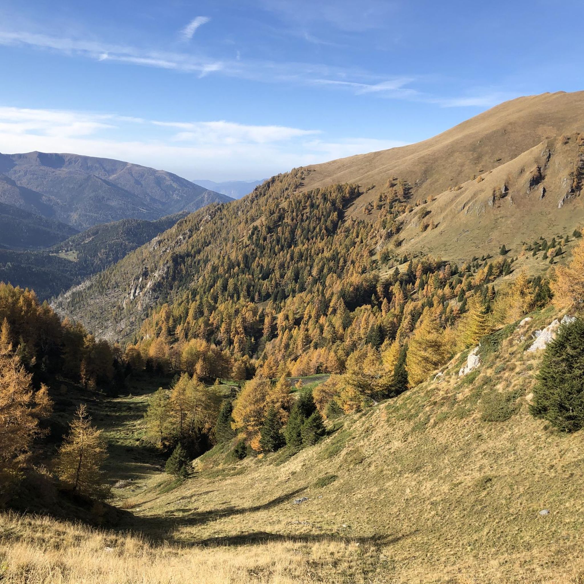
The Campelli pass is at 1,889 meters above sea level and dominates the view of the Scalve valley and the Camonica valley. The refuge can be reached in approximately 1 …

번역자 Google •

에 의해

하이킹 보기

휴대폰으로 전송

저장

크로체도미니 고개

하이라이트 • 산악 고개

The Crocedòmini pass is an alpine pass of the Brescia Prealps located in the province of Brescia at 1892 m. s.l.m. south of the Adamello park

번역자 Google •

에 의해

저장

이런 장소를 발견하려면 지금 가입하세요

최고의 싱글 트랙, 봉우리 및 다양한 흥미로운 야외 장소에 대한 추천을 받아보세요.

무료 회원 가입

가베르 평원에서 브루피오네 비박까지

하이라이트 (구간) • 산장

Just beside the Bar Bruffione (one of the various establishments accessible on the plain), a notice board is visible with a list of the various indications on the destinations that …

번역자 Google •

에 의해

저장

발 프레다 고개

하이라이트 • 산악 고개

A point where the beauty of Valfredda and the peaks that divide Lombardy from Trentino come together in the area corresponding to the Crocedomini Pass.

번역자 Google •

에 의해

저장

Passo Crocedomini와 Passo del Maniva 사이의 자갈길

하이라이트 (구간) • 트레일

Beautiful stretch of light dirt road that can be tackled in both directions with any bicycle, even with the more classic road one. This road connects the Maniva Pass with …

번역자 Google •

에 의해

저장

무료로 가입하여 니아르도 주변의 더 많은 산악 고개를 발견하세요.

무료 회원 가입

이미 komoot 계정이 있나요?

오늘 무료 계정으로 시작하세요

다음 모험이 기다리고 있어요.
로그인 또는 가입하기

니아르도 주변 인기 장소

니아르도 사이클링

니아르도 MTB 트레일

니아르도 로드 사이클링 경로

니아르도 하이킹

니아르도 러닝 트레일

니아르도 주변 그래블 라이딩

니아르도 등산

커뮤니티 팁

Luca N.
4월 20, 2026, Passo di Val Fredda

Passo di Val Fredda는 해발 2,329미터에 위치한 알프스 고개로, 브레시아와 트렌토 주의 경계에 있으며 아다멜로 산군 중심부에 자리 잡고 있습니다. 이 고개는 바체나 계곡(Valle di Bazena)과 야생의 프레다 계곡(Val Fredda)을 연결하며, 아다멜로 공원(Parco dell'Adamello)에서 가장 인상적인 풍경 중 하나를 제공합니다. 이곳을 가로지르는 트레일은 유명한 아다멜로 고산 루트 1번(Sentiero n. 1 dell'Alta Via dell'Adamello)의 일부로, 여름철 희귀한 꽃들이 피어나는 장관을 이루는 화강암 노두와 고산 초원 사이를 구불구불 이어집니다. 역사적으로 매우 중요한 장소로, 제1차 세계 대전 당시 이 봉우리들이 가졌던 전략적 중요성을 증언하는 노새길과 인공 구조물의 흔적이 아직도 남아 있습니다.

번역: Google

0

0

The Campelli Pass is an Alpine pass at approximately 1,892 meters above sea level that connects the Scalve Valley (province of Bergamo) with the Camonica Valley (province of Brescia). It is a popular hiking destination for its scenic beauty and the variety of available itineraries. 🏔️ Main Features Location: Between Schilpario (BG) and Cerveno (BS) Elevation: approximately 1,892 m View: Spectacular view of Cimon della Bagozza and the Piccole Dolomiti Scalvine Access: From Schilpario – Fondi: winter route for snowshoeing or ski mountaineering From Schilpario – Baracca Rossa: shorter and more scenic summer route From Ono San Pietro (BS): longer and more challenging route 🚶‍♂️ Recommended Activities Summer Hiking: Well-marked trails, also suitable for families Winter Snowshoeing: Safe and picturesque itineraries in the snow Mountain Biking: Technical and scenic routes, with stops at the Campione Refuge and Campelli Lake 📍 Nearby Points of Interest Campione Refuge: Not far from the pass, offers refreshments and overnight accommodations Campelli Lake Campelli: a small Alpine lake, ideal for a break Madonnina dei Campelli: a panoramic and spiritual point along the route

번역: Google

0

0

As of September 2025: the roads are now pretty washed out, and riding a road bike is more of a struggle than a pleasure. With 28 mm, I barely made it through with only one flat tire. For those who like to take risks or ride gravel bikes, the view is definitely worth it!

번역: Google

0

0

Splendid view of Cimon Bagozza, Scalve Valley and Valcamonica

번역: Google

0

2

Beautiful road offering great views

번역: Google

0

0

A point where the beauty of Valfredda and the peaks that divide Lombardy from Trentino come together in the area corresponding to the Crocedomini Pass.

번역: Google

0

0

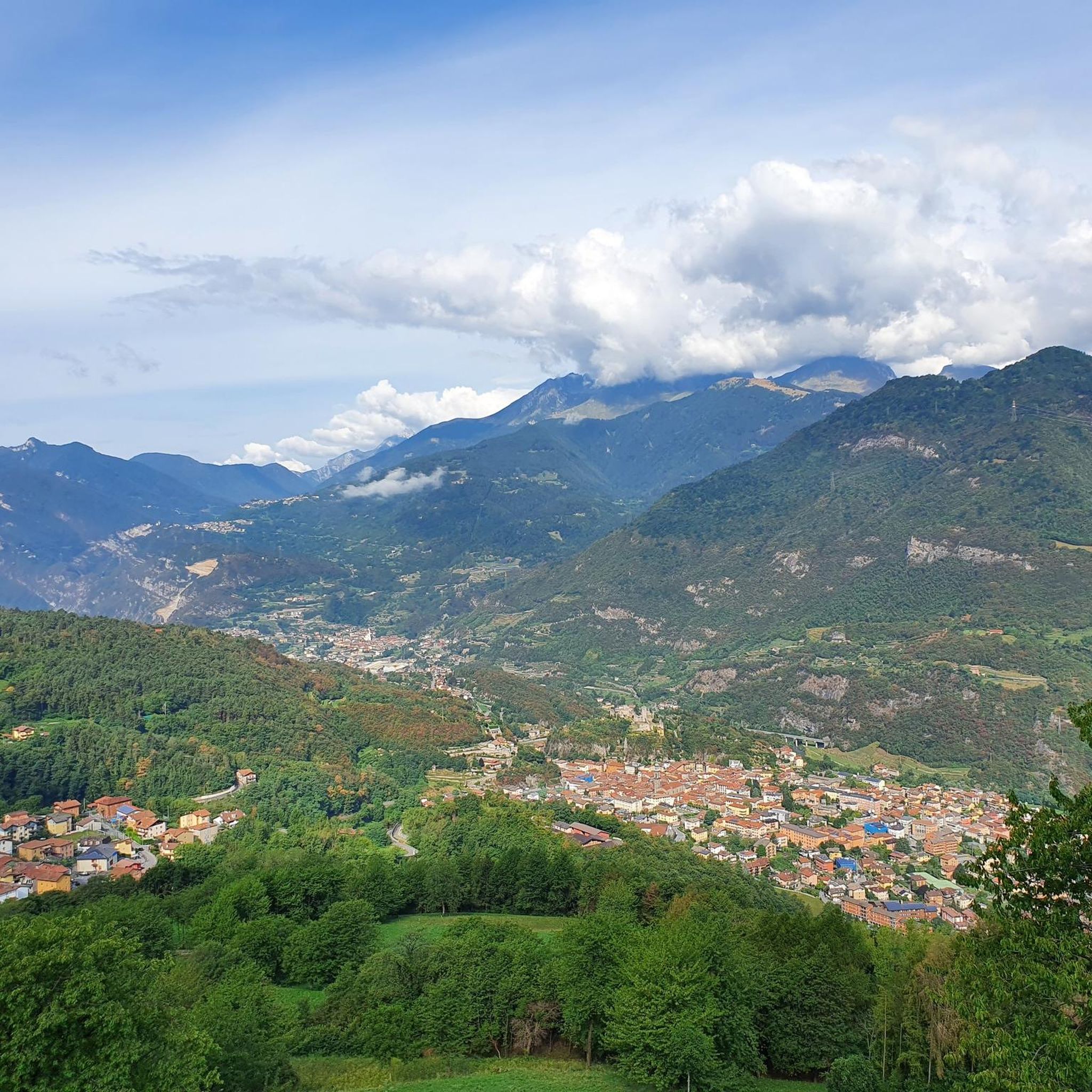
A famous pass in the Brescian Pre-Alps, the Crocedomini has a very long history (it is said that Emperor Frederick Barbarossa passed through here in the 12th century) and is almost 1,900 meters above sea level. It represents a real challenge for those who decide to tackle it by bicycle: from Bagolino it is a 22 kilometer climb at an average 5%, while the Breno side is even harder, around 20 kilometers at an average 7.5%. You can also get to Crocedomini in a third way, that is, through the splendid partly dirt road (very simple gravel) that comes from the south, from the Maniva pass.

번역: Google

4

0

Just beside the Bar Bruffione (one of the various establishments accessible on the plain), a notice board is visible with a list of the various indications on the destinations that can be reached: the sign initialed "401 - Bivacco P.so Bruffione" indicates our direction to follow. After crossing the bridge over the Caffaro, the mule track begins to climb the slope on the left, in a southerly direction, entering a dense forest, with some panoramic openings, unfortunately created by the cutting of trees made necessary by the presence of the harmful bark beetle. The mule track is really beautiful with a good surface and in the highest part it is also particularly scenic given that the roadway was created by digging deeply into the outcrops of reddish rocks. After about 3 km, you cross a narrow passage "in the trench", a real portal with ancient plants placed on the curved shoulders over the gap. Just beyond the gate everything changes and you enter an incredible natural environment: the "plan di Bruffione", a splendid and wide suspended valley, with grazing herds, ancient huts and a crystalline stream that crosses it. At the beginning of the plain there is a fork: a path to the right, CAI 413, leads directly to the two lakes of Bruffione while the mule track, CAI 414, our route, leads to the homonymous pass (2143m). Go up the Vallone gently along a mule track, of military origins, perfectly maintained, passing alongside the Bruffione and Casinello huts. Here you are immersed in a typically alpine environment with splashes of color donated by a spectacular flora where in the right periods it is possible to see the various blooms of the ferrugineous rhododendron, anemones, lilies and saxifrages as well as some species of wild orchids. For those interested, it should be noted that, making a small detour, it is possible to access a place where on 17 November 1915, 27 soldiers, including infantrymen and Alpine troops, lost their young lives under an avalanche. Unfortunately, it seems that the tragedy was caused by an underestimation by the officers of the suitability of the camp site, a position absolutely not recommended by the local mountaineers. Leaving the last malga, you go up along long but easy walks back to the Bruffione pass and here the view of the basin is spectacular. Once you reach the pass, right on the border between Trentino and Lombardy, at an altitude of 2143 m, at the foot of a pyramid-shaped peak, the small Bruffione bivouac appears, a beautiful stone structure, with bright red doors, with all that which is needed to be able to take shelter in case of bad weather.

번역: Google

0

0

니아르도 주변에서 가장 인기 있는 경로

니아르도 사이클링

니아르도 주변에서 가장 인기 있는 명소

Places to see

Store rating

komoot 모바일 앱으로 영감을 받아보세요

무료 komoot 계정로 끝없는 야외 모험을 손쉽게 찾고, 맞춤 설정하며 길안내할 수 있어요.

또는

지금 komoot에 가입하세요

Store rating

더 살펴보기

이 가이드를 통해 더 많은 장대한 산악 통과를 확인해보세요 니아르도 주변:

티그날레트레모신 술 가르다마가사밸브스티노리모네 술 가르다보르노바골리노라베논페르티카 바사콜리오이드로안포브레노비엔노페르티카 알타보바르노베스톤폰테 디 레뇨에신가르냐노테무앙골로 테르메비오네카포발레피안코노다르포 보아리오 테르메보베뇨베르조 인페리오레프로바글리오 발 사비아트레비소 브레시아노토스콜라노-마데르노구세주 델아다멜로에도로사비오 치즈마르멘티노지아니코오시모베짜 돌리오브라오네아르토뉴세토피안 카무노이르마가르도네 리비에라마르체노이서루메잔로치오페짜즈피소뉴가르돈 발 트롬피아코르테노 골지말로노파이스코 로베노베르조 데모세일 마라시노말레뇨체르베노마론시비데이트 카무노로드리노세보타베르놀 술 멜라로신인쿠딘카스토바르게소니코카포 디 폰테파르코 지역 델'아다멜로무라사레초침베르고몬테 이솔라술자노빌라 카르시나오노 산 피에트로브리오네오메세데골로폴라베노셀레로파스파르도프레슬리비오네아그노신모노몬티첼리 브루사티Parco naturale dell'Alto 가르다 브레시아노로에 볼치아노양보프로바글리오 디세오살로빌라누오바 술 클리시코르테 프랑카오돌로가바르도셀라티카아드로발리오 테르메카이노보베초본당구사고카프리올로콜레비토파라티코산 펠리체 델 베나코

근처 어드벤처 가이드

브라오네 즐길거리

background

새로운 정복을 위한 준비를 하세요

무료로 가입하기

탐험하기
경로경로 플래너기능하이킹MTB 트레일로드 사이클링 경로바이크패킹사이트맵
앱 다운로드
소셜 미디어에서 팔로우하기

© komoot GmbH

개인 정보 보호 정책