샌버나디노 산맥 최고의 워킹 & 하이킹 경로
4.6
(967)
12,759
등산객
342
하이킹
샌버나디노 산맥에서 하이킹하며 샌버나디노 카운티 구석 부분까지 살펴볼까요? 샌버나디노 산맥에 있는 모든 하이킹 및 워킹 경로 컬렉션 중 가장 멋진 하이킹 경로를 엄선하여 소개해드릴게요. 다른 하이커가 공유한 실제 팁과 사진을 살펴보고 후기를 읽으며 마음에 드는 샌버나디노 산맥 워킹 경로를 찾아보세요.
마지막 업데이트: 10월 11, 2026
4.7
(71)
1,076
등산객
2.06km
00:33
20m
20m
Embark on an easy hike along the Barker Dam Nature Trail, a 1.3-mile (2.1 km) loop that takes you through classic Joshua Tree scenery. You will experience a gentle elevation…
4.8
(138)
2,168
등산객
2.02km
00:34
40m
40m
Explore the Hidden Valley Trail, an easy 1.3-mile (2.0 km) loop that takes about 33 minutes to complete. You will gain 129 feet (39 metres) in elevation as you wander…

4.8
(50)
434
등산객
9.84km
03:07
460m
320m
If you're ready for a rewarding moderate hike, the Warren Peak via Black Rock Canyon and Panorama Loop offers a great experience. This 6.1-mile (9.8 km) route takes about 3…
4.9
(13)
289
등산객
3.14km
00:52
50m
50m
Embark on an easy hike along the Split Rock Loop Trail, a 2.0-mile (3.1 km) route that offers a quintessential Joshua Tree experience. You will navigate sandy paths and rocky…
4.9
(43)
941
등산객
4.81km
01:44
300m
300m
Embark on the Ryan Mountain Trail, a moderate 3.0 miles (4.8 km) hike that leads you through the distinctive Mojave Desert landscape. You will gain 995 feet (303 metres) in…
4.6
(9)
122
등산객
3.39km
00:53
20m
20m
Embark on an easy 2.1-mile (3.4 km) hike along the Wall Street Mill Trail, a route that takes about 52 minutes to complete. You will gain a gentle 78 feet…
4.9
(56)
489
등산객
12.3km
03:47
450m
450m
Embark on the Warren Peak and Panorama Loop Trail, a moderate hike spanning 7.6 miles (12.3 km) with an elevation gain of 1492 feet (455 metres). You can expect to…
4.6
(8)
27
등산객
15.1km
04:39
570m
540m
Embark on the Eureka Peak and Burnt Hill Loop, a moderate hiking route that takes you through the diverse landscapes of Joshua Tree National Park. This trail offers a comprehensive…
4.8
(53)
460
등산객
10.0km
03:01
340m
340m
Embark on the Black Rock Canyon and Panorama Loop Trail, a moderate hiking route that guides you through the varied terrain of Joshua Tree National Park. You will cover 6.2…
4.0
(1)
51
등산객
6.83km
02:04
230m
210m
Embark on the Whitewater Canyon View Loop Trail for a moderate hike that showcases the desert's diverse beauty. You will traverse the wash of the Whitewater River, crossing via wooden…
더 다양한 경로와 다른 탐험가들의 추천을 살펴보세요.
이미 komoot 계정이 있나요?
투어 추천은 다른 사람들이 komoot에서 완료한 수천 개의 활동을 바탕으로 구성되어 있습니다.
오늘 무료 계정으로 시작하세요
다음 모험이 기다리고 있어요.


커뮤니티 팁

라이언 산(1663m)은 초기 목장주이자 광산업자인 J.D. 라이언의 이름을 따서 명명되었습니다(그는 1890년대 중반부터 이곳에 거주했으며 – 1896년에 그의 목장 건설을 시작했습니다 – 그리고 근처의 로스트 호스 광산도 운영했습니다. – 로스트 호스 광산은 1894년에서 1931년 사이에 총 10,000온스 이상의 금(약 280kg)과 16,000온스 이상의 은(약 450kg)을 채굴했습니다). 이 길 자체는 "어려움"으로 분류되며, 잘 정비되어 있어 우리에게는 정상까지 적당히 가파릅니다. 정상에서는 360° 파노라마 전망을 즐길 수 있습니다! 주의: 정상의 쌓인 돌 더미 아래에는 방울뱀이 "서식하고 있다"고 하니 눈과 귀를 활짝 열어두세요!
0
0

To me, this rock looks like a flower or the flame of the Olympic torch :)
0
0
Fantastic 360° views from the summit dome in good visibility. In January, the summit was very windy (it's worth considering this when planning your clothing). There's virtually no shade on the trail – something to consider in summer. The trail is clear and not too demanding.
0
0

the effort to brave the heat
0
0


Good to walk and not too long. But take water with you. The panorama really impressed me. One of the most beautiful places ever.
0
0

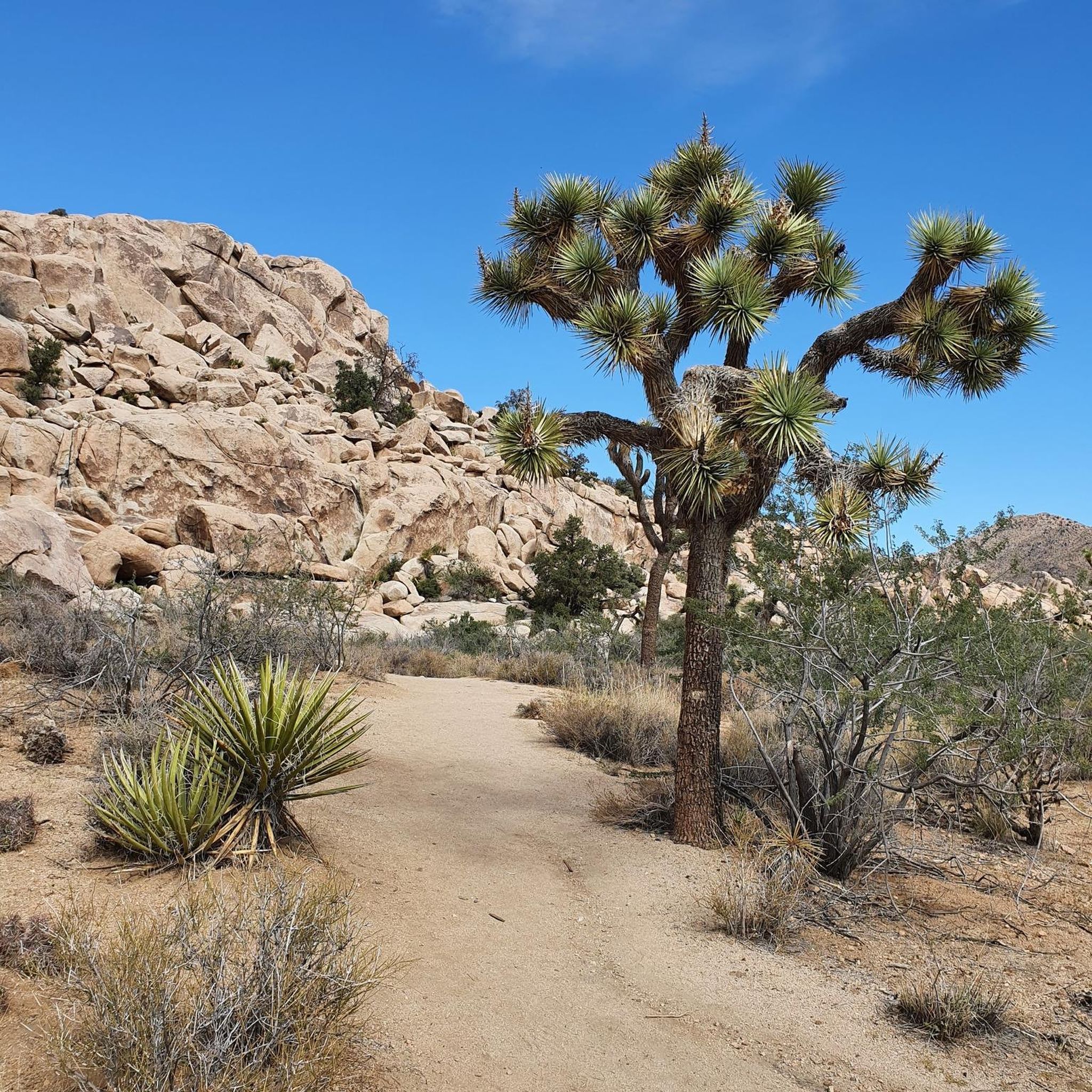
Looking west from the summit you can see across Pinto Basin to Joshua Tree National Park. Indeed, Ryan Mountain has its own display of unique desert flora. The trail starts flat and becomes more steep as you climb, offering spectacular panoramic views and plenty of space to explore at the summit.
0
0

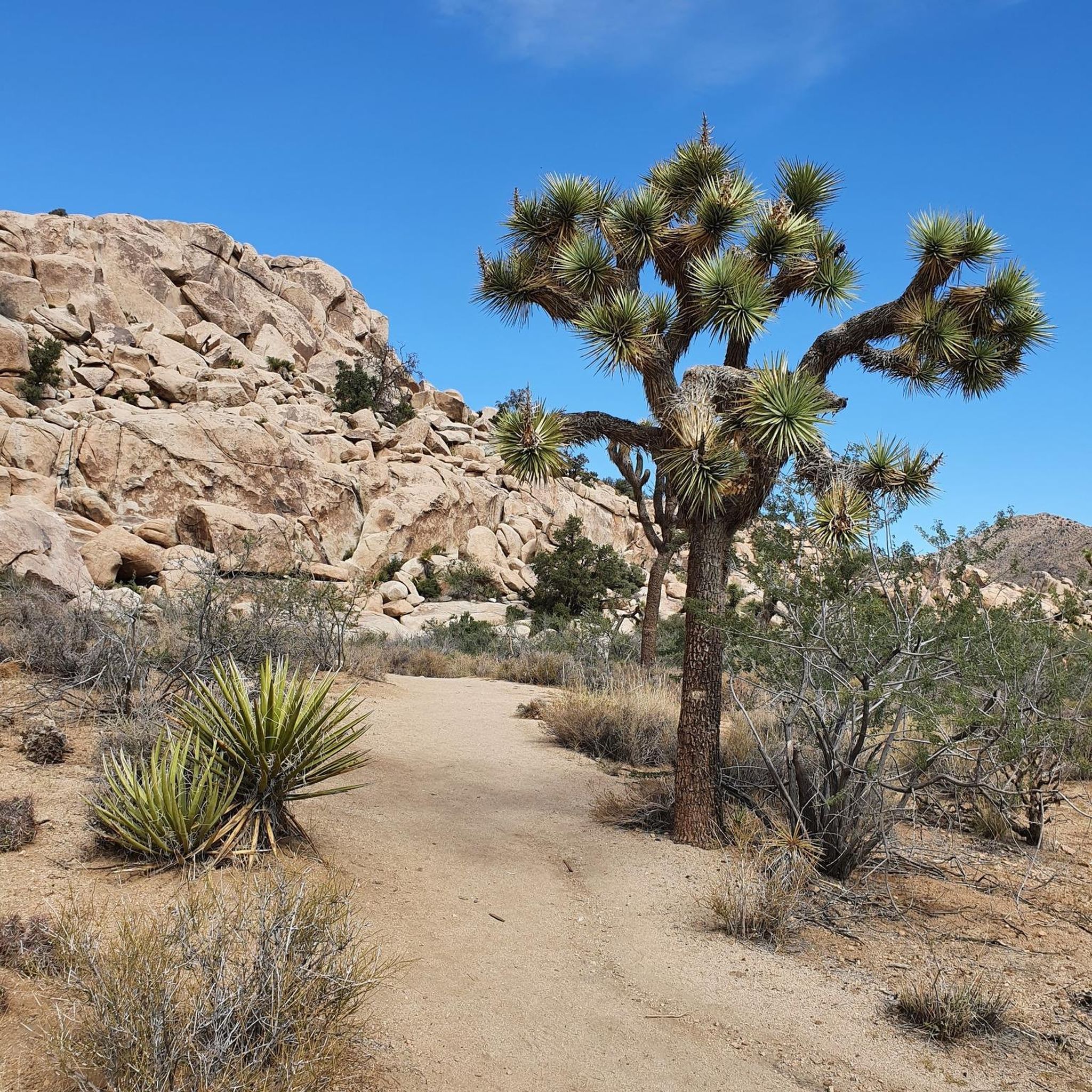
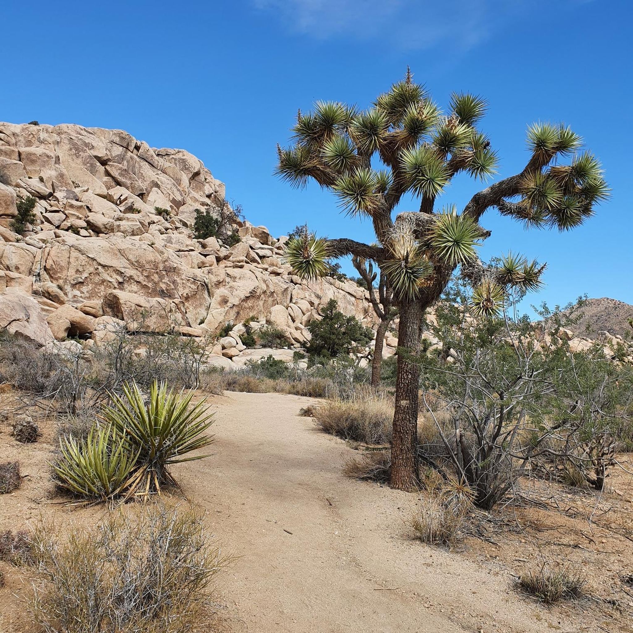
The Hidden Valley Trail is a one-mile loop that offers meander through large rock formations, perfect for families and rock scrambling. Along the trail, you’ll find educational signs about local plants and animals, and you can spot "Cow Rock," a cow-shaped formation on the valley wall. The trail is easy but includes stairs and rock steps at the start and end. It’s a popular hike, so arriving early, especially on weekends, is recommended. The trail has little shade and bad cell service.
1
0
샌버나디노 산맥에서 가장 인기 있는 명소


더 살펴보기
다른 지역의 최고의 하이킹를 살펴보세요.
