샌버나디노 산맥 최고의 러닝 경로
4.8
(7)
547
달리기 하는 사람
64
러닝
샌버나디노 산맥에서 하이킹하며 샌버나디노 카운티 구석 부분까지 살펴볼까요? 샌버나디노 산맥에 있는 모든 하이킹 및 워킹 경로 컬렉션 중 가장 멋진 하이킹 경로를 엄선하여 소개해드릴게요. 다른 하이커가 공유한 실제 팁과 사진을 살펴보고 후기를 읽으며 마음에 드는 샌버나디노 산맥 워킹 경로를 찾아보세요.
마지막 업데이트: 8월 31, 2026
26
달리기 하는 사람
보통 조깅. 좋은 체력 필요. 대부분 포장된 지면. 실력과 관계없이 누구나 갈 수 있음.
12
달리기 하는 사람
4.99km
00:38
120m
120m
보통 조깅. 좋은 체력 필요. 대부분 포장된 지면. 실력과 관계없이 누구나 갈 수 있음.

무료 회원 가입
8
달리기 하는 사람
11.9km
01:32
260m
260m
보통 조깅. 좋은 체력 필요. 대부분 포장된 지면. 실력과 관계없이 누구나 갈 수 있음.
4
달리기 하는 사람
15.6km
02:02
470m
470m
어려운 조깅. 우수한 체력 필요. 대부분 포장된 지면. 실력과 관계없이 누구나 갈 수 있음.
4
달리기 하는 사람
4.00km
00:27
20m
20m
초급용 러닝. 모든 체력 수준에 적합. 대부분 포장된 지면. 실력과 관계없이 누구나 갈 수 있음.
4
달리기 하는 사람
7.18km
00:54
120m
120m
보통 조깅. 좋은 체력 필요. 대부분 포장된 지면. 실력과 관계없이 누구나 갈 수 있음.
2
달리기 하는 사람
20.0km
02:33
570m
570m
어려운 조깅. 우수한 체력 필요. 대부분 포장된 지면. 실력과 관계없이 누구나 갈 수 있음.
2
달리기 하는 사람
6.19km
00:48
160m
160m
보통 조깅. 좋은 체력 필요. 대부분 포장된 지면. 실력과 관계없이 누구나 갈 수 있음.
9.44km
01:13
180m
180m
보통 조깅. 좋은 체력 필요. 대부분 포장된 지면. 실력과 관계없이 누구나 갈 수 있음.
4.75km
00:36
90m
90m
초급용 러닝. 모든 체력 수준에 적합. 대부분 포장된 지면. 실력과 관계없이 누구나 갈 수 있음.
더 다양한 경로와 다른 탐험가들의 추천을 살펴보세요.
무료 회원 가입
이미 komoot 계정이 있나요?
투어 추천은 다른 사람들이 komoot에서 완료한 수천 개의 활동을 바탕으로 구성되어 있습니다.
오늘 무료 계정으로 시작하세요
다음 모험이 기다리고 있어요.
로그인 또는 가입하기


커뮤니티 팁

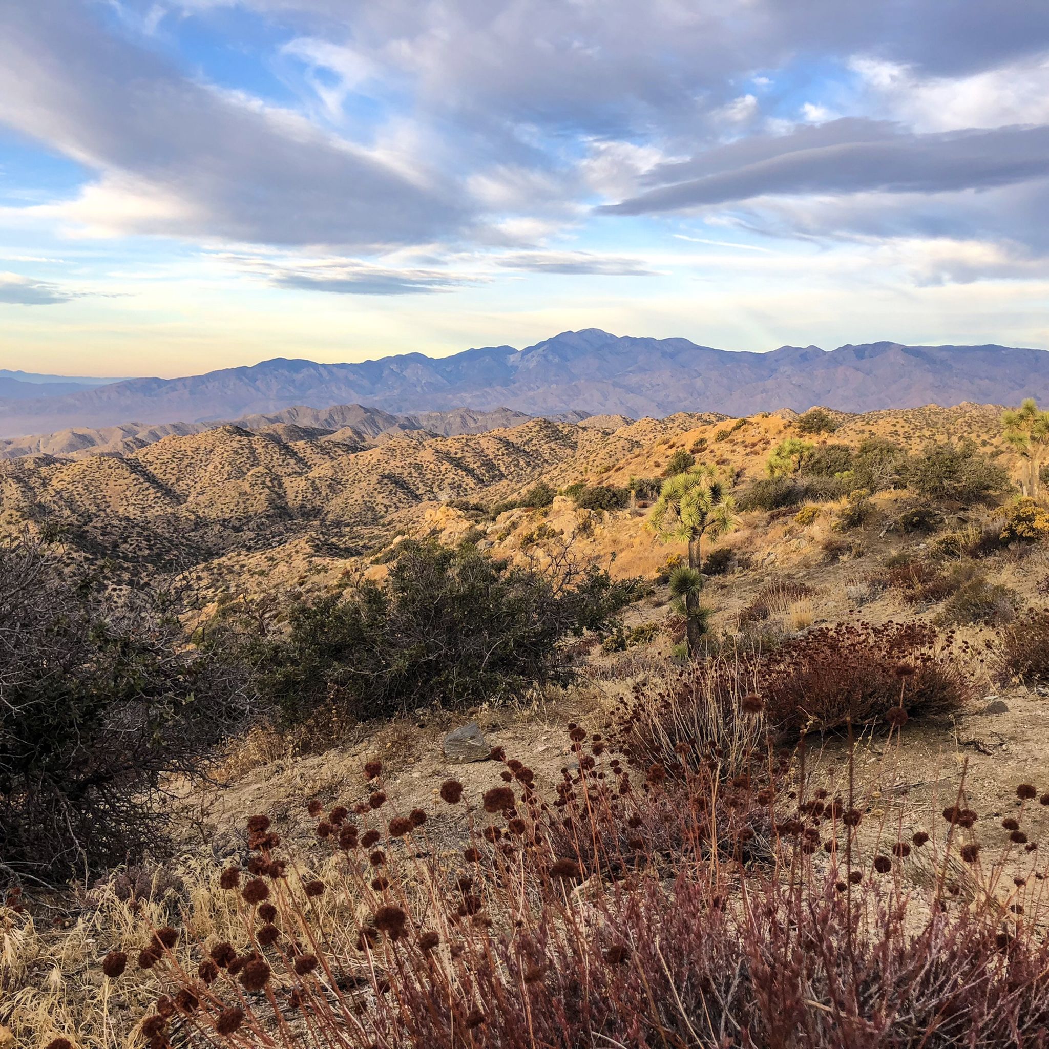
Keller Peak sits at an elevation of 7,882 feet. At the top there is the Keller Peak Fire Lookout, which is the oldest fire tower still standing in San Bernardino National Forest.
0
0

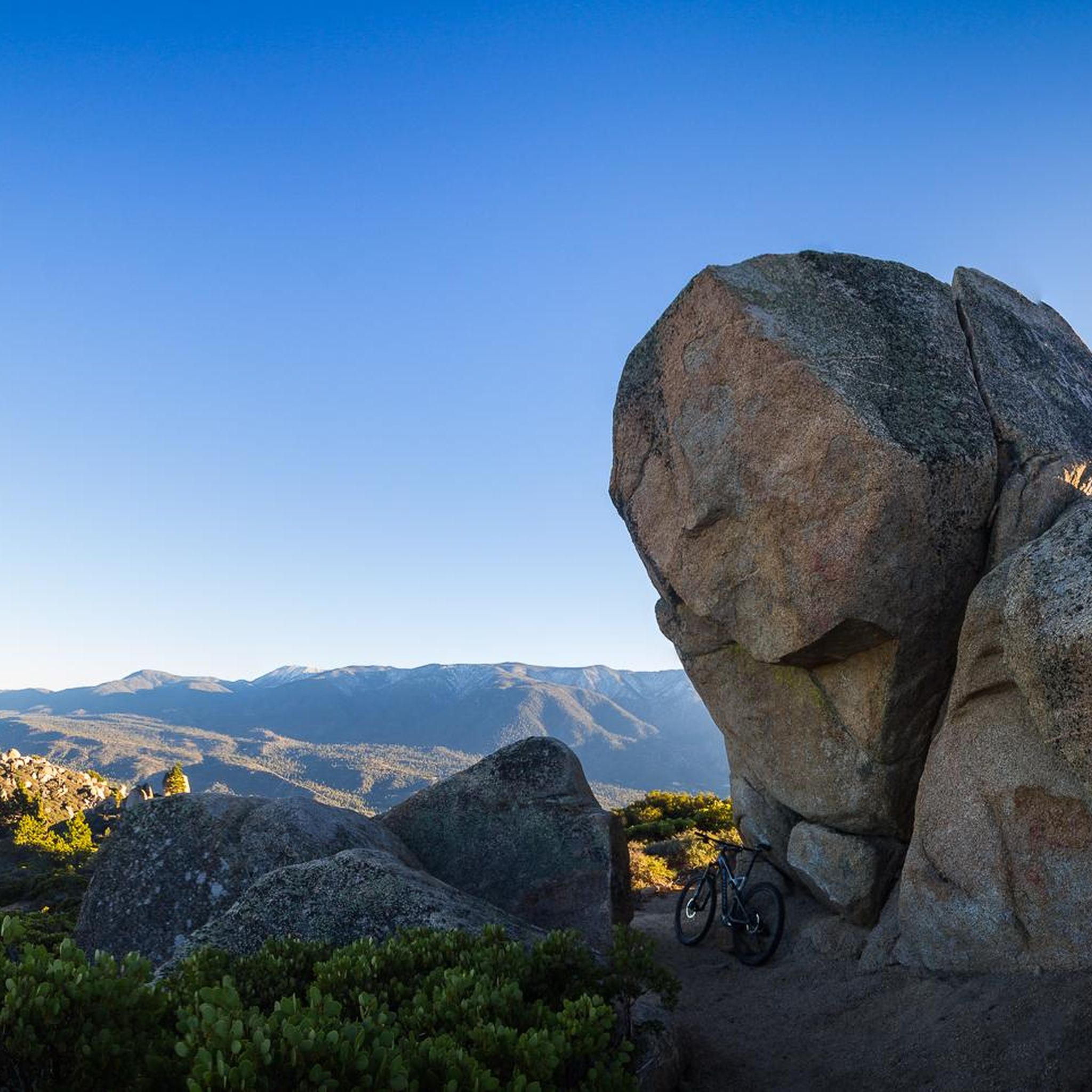
The preserve encapsulates a serene mountain marsh with sedge, grasses, and endangered bluegrass and checkerbloom. The lake is azure and pillars of quartz monzonite decorate the landscape.
0
0

At 7,882 feet, Keller Peak takes a sustained effort to get to the top. However, it is worth the effort as the views you get from the top are incredible.
0
0
The Exploration Trail is a non-motorized, family friendly trail. The trail was designed by children along with help from the U.S. Forest Service personnel.
0
0
Great view from the PCT onto the valley and Deep Creek. The views stay with you for a while as you stay high above the valley.
0
0

At the confluence of Deep Creek and North Fork Mohave River you can get across the almost dry creek bed most of the year without getting the shoes wet. After the spring snow melt or rain upstream water can be higher so a short wading might be necessary, or a short detour over the side of the dam. A cool trail excursion offers to cross through the tunnel under the dike, often involving a short refreshing section wading through thigh-high water at the northern end. The creek through the tunnel itself is barely a trickle most of the year, that disappears into the desert sand at the other end.
0
0

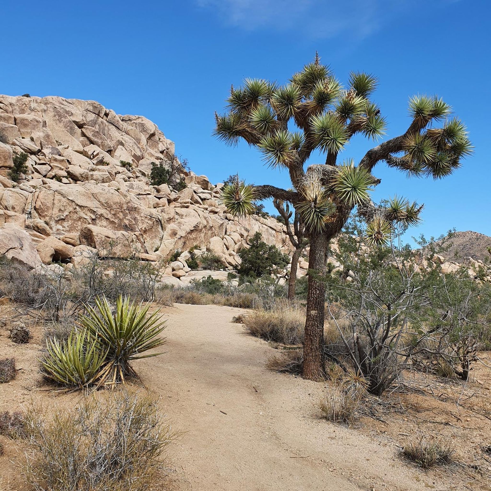
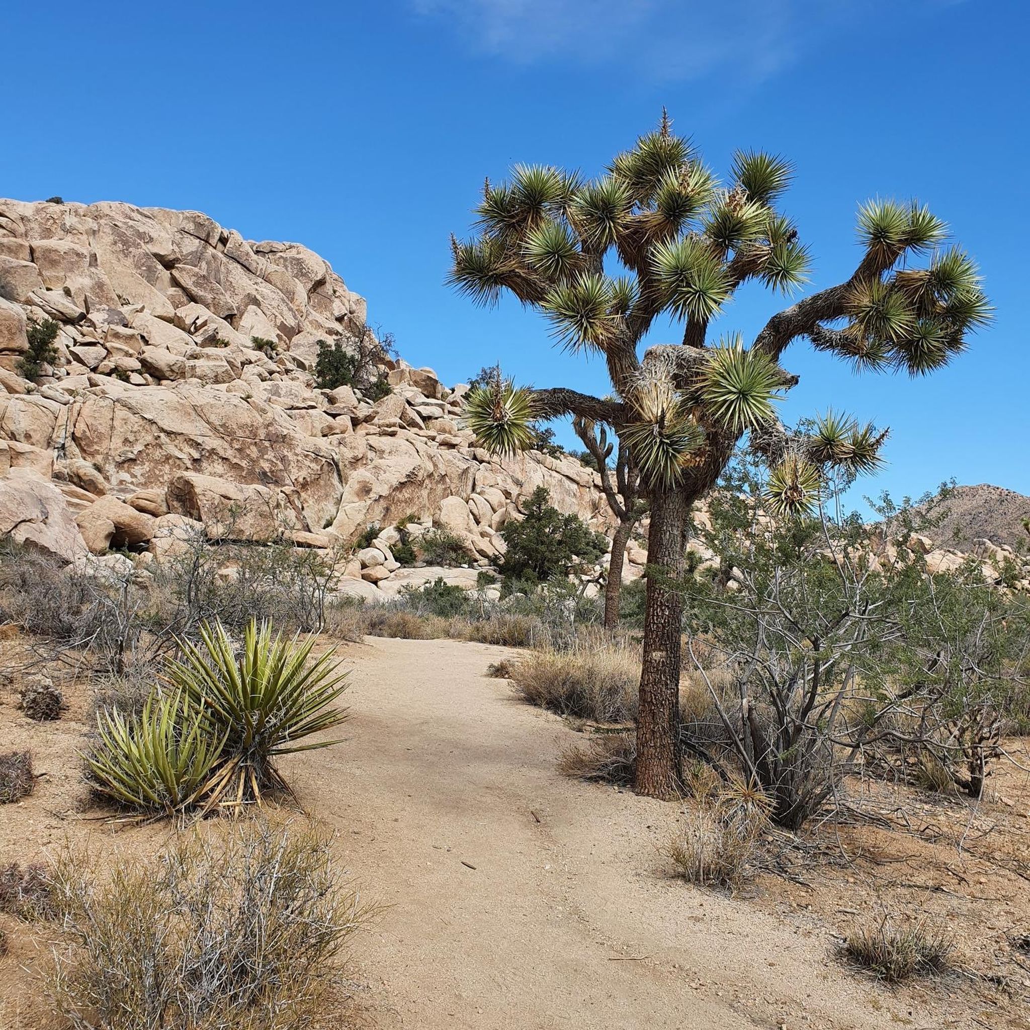
Leading to Mastodon Peak, the Mastodon Mine Loop Trail is a straightforward, 3-mile trail with peaceful surroundings within Joshua Tree.
0
0

This small mountain in the lower part does not see as many visitors as the center of Joshua Tree National Park. Leave the crowds behind and enjoy a hike to this peak and the scenic ruins of the old Mastodon Mine. In the 1930s, the Hulsey Family found some gold ore, but was not able to get to the main vein, so the mine was abandonded pretty soon.
0
0
샌버나디노 산맥에서 가장 인기 있는 명소


더 살펴보기
다른 지역의 최고의 러닝 트레일 & 경로를 살펴보세요.
