비오네 최고의 러닝 경로
4.7
(17)
997
달리기 하는 사람
19
러닝
조깅은 이탈리아 롬바르디아 지역의 산악 지형과 그림 같은 계곡을 통과하는 다양한 러닝 코스를 제공합니다. 이 지역은 다양한 지형이 특징이며, 도전적인 오르막과 달리기에 적합한 완만한 길 모두를 제공합니다. 광활한 스텔비오 국립공원(Parco Nazionale dello Stelvio)을 포함한 자연 공원과의 근접성은 다양한 동식물과 함께 자연의 아름다움을 배경으로 합니다. 풍경은 강을 따라 숲이 우거진 지역을 지나는 수많은 트레일을 특징으로 하여 다채로운 러닝 경험을 선사합니다.
비오네 주변 최고의 조깅 코스
- 가장 인기 있는 조깅 코스는 Roccolo di Santa Giulia – Picnic Area in Vezza d'Oglio loop…
마지막 업데이트: 8월 29, 2026
5.0
(1)
65
달리기 하는 사람
16.1km
01:46
290m
290m
어려운 조깅. 우수한 체력 필요. 대부분 포장된 지면. 실력과 관계없이 누구나 갈 수 있음.
32
달리기 하는 사람
7.34km
00:48
110m
110m
보통 조깅. 좋은 체력 필요. 대부분 포장된 지면. 실력과 관계없이 누구나 갈 수 있음.

무료 회원 가입
19
달리기 하는 사람
10.0km
01:22
510m
530m
어려운 조깅. 우수한 체력 필요. 대부분 포장된 지면. 실력과 관계없이 누구나 갈 수 있음.
15
달리기 하는 사람
11.5km
01:18
270m
270m
보통 조깅. 좋은 체력 필요. 대부분 포장된 지면. 실력과 관계없이 누구나 갈 수 있음.
5.0
(1)
13
달리기 하는 사람
14.3km
01:42
410m
410m
어려운 조깅. 우수한 체력 필요. 대부분 포장된 지면. 실력과 관계없이 누구나 갈 수 있음.
더 다양한 경로와 다른 탐험가들의 추천을 살펴보세요.
무료 회원 가입
이미 komoot 계정이 있나요?
투어 추천은 다른 사람들이 komoot에서 완료한 수천 개의 활동을 바탕으로 구성되어 있습니다.
오늘 무료 계정으로 시작하세요
다음 모험이 기다리고 있어요.
로그인 또는 가입하기



커뮤니티 팁


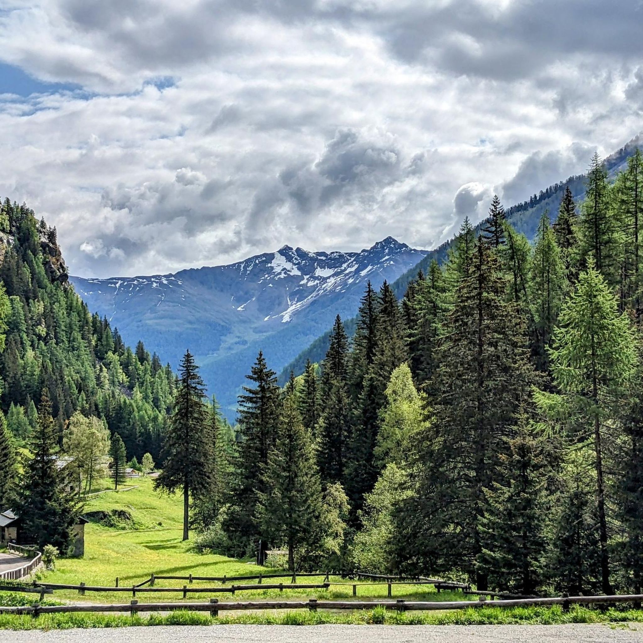
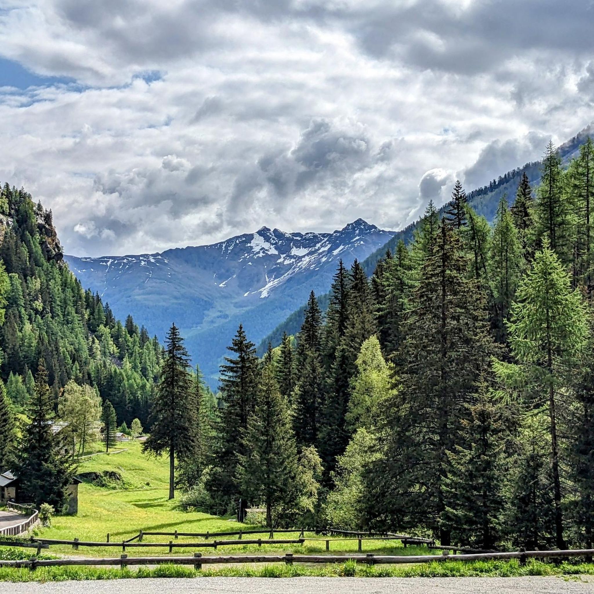
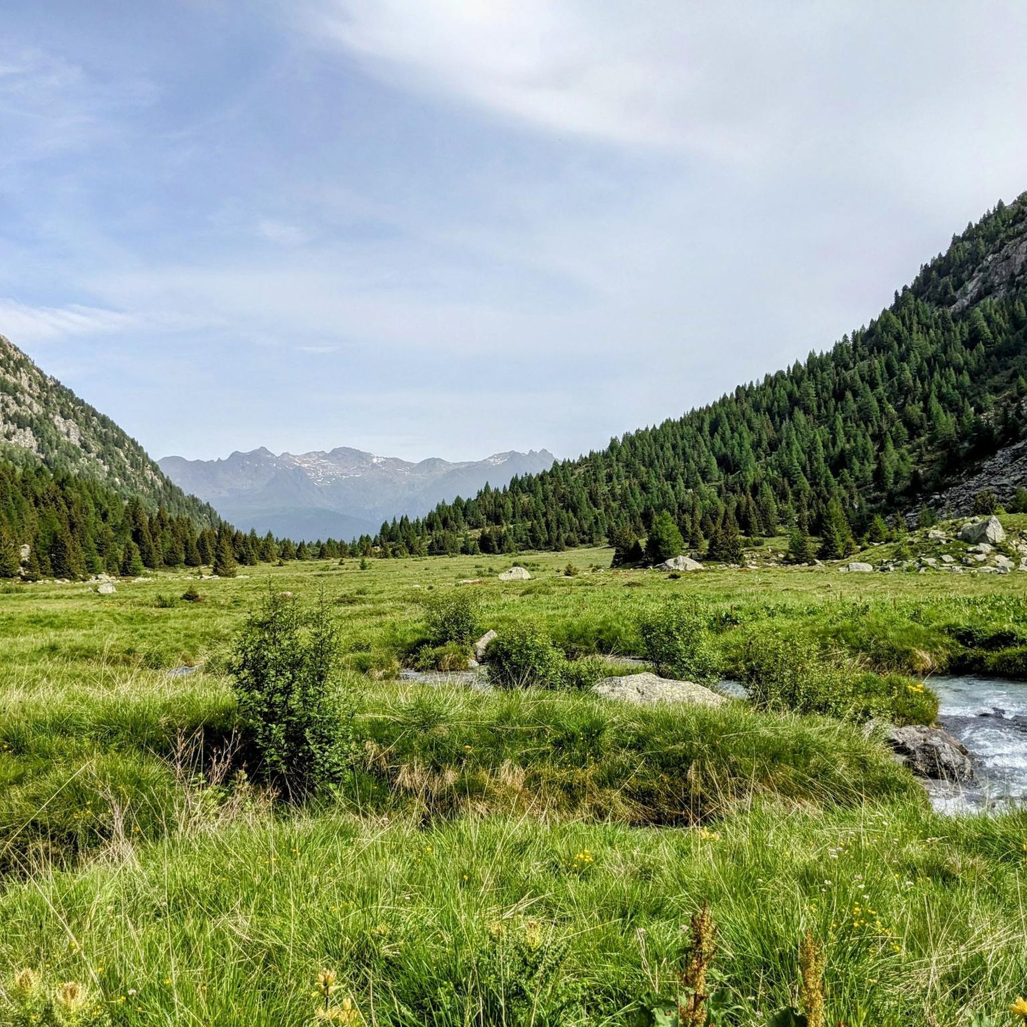
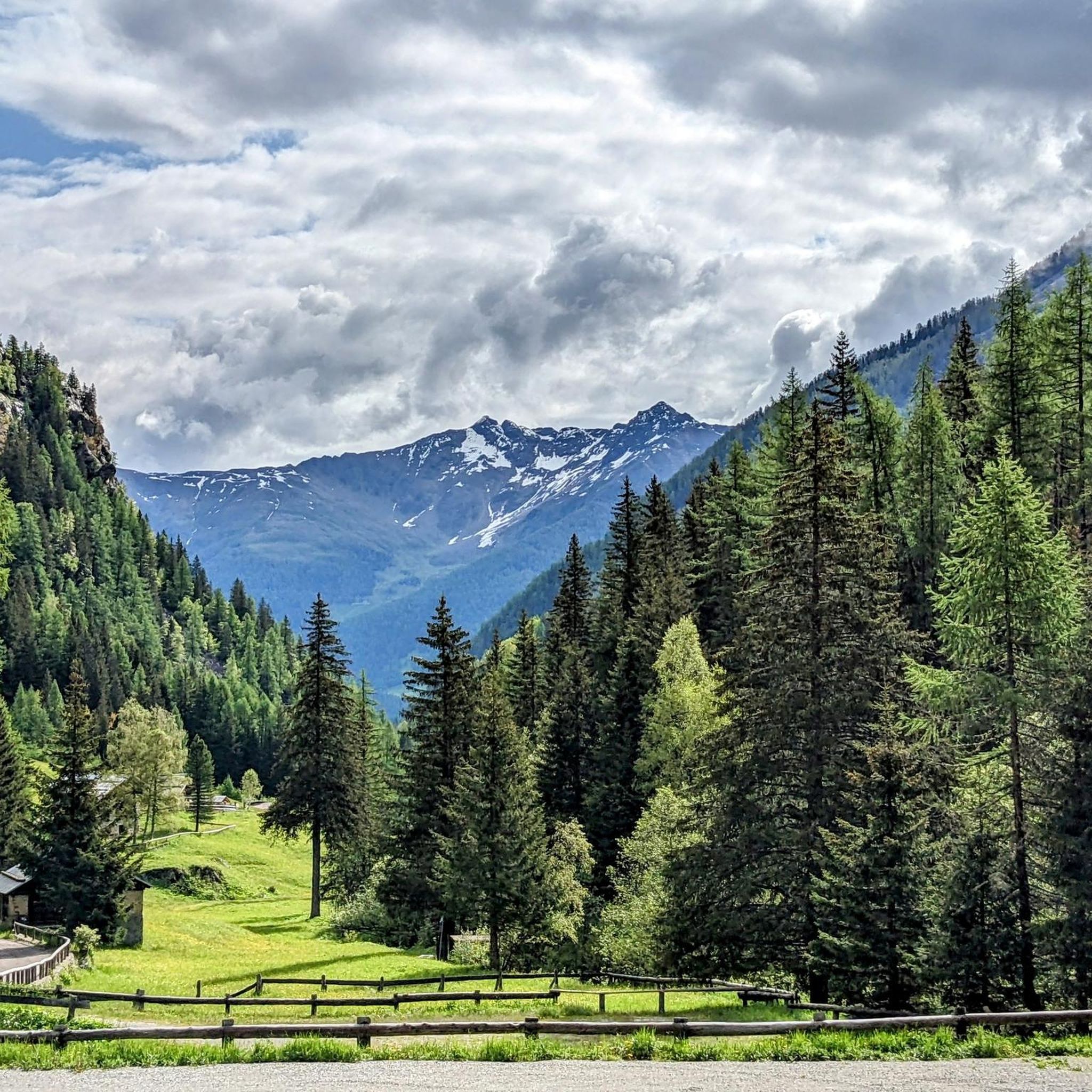
Val Canè is a beautiful alpine valley located in Alta Val Camonica, within the Stelvio National Park. It is a secondary valley that extends north of the town of Canè, ending with Punta di Pietra Rossa (3228 m). The valley is crossed by the Fomedio stream, which originates from Lago di Pietra Rossa (2601 m). It is surrounded by imposing peaks, including Coleazzo (3061 m) and Bles (2820 m), which form two triangular basins at the base of the valley. One of the reference points for hikers is the Bivacco Valzaroten (2212 m), which offers shelter for those exploring the upper part of the valley. Val Canè is connected to Val Grande di Vezza through Passo di Val Canè (2699 m). A great advantage for hikers is the possibility of going up the valley by car to Cortebona (1766 m), with prior municipal authorization, until 9 in the morning
0
0
The upper part of Val Canè is a spectacular area for mountain and hiking lovers. Located in the Stelvio National Park, this area offers breathtaking views and unspoiled nature. One of the main landmarks is the Bivacco Valzaroten, located at 2210 meters above sea level. From here you can admire the surrounding peaks, including Cima Bles (2609 m), Monte Bles (2820 m), Cima Mattaciul (2823 m) and Cima di Pietra Rossa (2869 m). The area is characterized by alpine meadows, glacial lakes and rich fauna, with the possibility of spotting ibex, marmots and deer. A very suggestive excursion is the one that leads to the Laghetti di Pietra Rossa, located at about 2601 meters above sea level. The route passes through larch and fir forests, offering spectacular views of the valley below. Val Canè is also a connection point with other Alpine valleys, such as Val Grande di Vezza through the Passo di Val Canè (2699 m). Furthermore, in the highest part of the valley there is the Vedretta di Monticello, one of the few perennial glaciers in the province of Brescia
0
0

Near Ponte di Legno, Parco Sozzine is a great place to get closer to mountain life with the whole family. The Oglio Narcanello stream flows here, which – merging with the Frigidolfo – forms the actual Oglio. There is also a children's playground made entirely of wood.
0
0

San Clemente is a picturesque Alpine church, easily reached with a short but steep walk from the center of Vezza d'Oglio. The picnic area offers a relaxing break, while the path behind the church leads to a pleasant walk in the woods. In August, it is animated by the traditional Festa degli Alpini.
0
0

In the Sozzine area, along the Oglio Narcanello stream, an old stone dam appears to have been abandoned: this is also why it is characteristic.
0
0
Ponte di Legno is a municipality located at the northern end of the Camonica valley, between Lombardy and Trentino. Its name derives from two factors: "Ponte" because it has always represented a point for crossing the Oglio, and "di Legno", which derives from the ancient name of the upper valley, "Dalania", as attested by Carlo's donation Magnus of 774 AD.
2
0

The climb towards Grano is challenging at times, but the view repays any effort. We talked about it here: https://outdoortest.it/alta-valcamonica-gravel/
1
0


더 살펴보기
다른 지역의 최고의 러닝 트레일 & 경로를 살펴보세요.
