루세베라 최고의 러닝 경로
4.5
(85)
3,954
달리기 하는 사람
204
러닝
루세베라에서 하이킹하며 우디네 구석 부분까지 살펴볼까요? 루세베라에 있는 모든 하이킹 및 워킹 경로 컬렉션 중 가장 멋진 하이킹 경로를 엄선하여 소개해드릴게요. 다른 하이커가 공유한 실제 팁과 사진을 살펴보고 후기를 읽으며 마음에 드는 루세베라 워킹 경로를 찾아보세요.
마지막 업데이트: 10월 22, 2026
4.0
(1)
21
달리기 하는 사람
17.0km
03:12
1,110m
1,110m
The Monte Zaiavor loop offers a challenging jogging experience through the Prealpi Giulie Natural Park, covering 10.6 miles (17.0 km) with a significant elevation gain of 3654 feet (1114 metres).…
1
달리기 하는 사람
5.07km
01:08
410m
420m
Prepare for a challenging jogging experience on the Monte Cuarnan Loop, a difficult 3.2-mile (5.1 km) route that climbs 1332 feet (406 metres) over approximately 1 hour and 7 minutes.…

103
달리기 하는 사람
14.1km
01:50
530m
530m
어려운 조깅. 우수한 체력 필요. 튼튼한 신발을 신고 미끄러지지 않게 조심해야 하며, 높은 산을 오른 경험이 있어야 함.
68
달리기 하는 사람
15.1km
02:24
630m
630m
어려운 조깅. 우수한 체력 필요. 튼튼한 신발을 신고 미끄러지지 않게 조심해야 하며, 높은 산을 오른 경험이 있어야 함.
43
달리기 하는 사람
16.1km
02:39
740m
740m
어려운 조깅. 우수한 체력 필요. 튼튼한 신발을 신고 미끄러지지 않게 조심해야 하며, 높은 산을 오른 경험이 있어야 함.
더 다양한 경로와 다른 탐험가들의 추천을 살펴보세요.
이미 komoot 계정이 있나요?
투어 추천은 다른 사람들이 komoot에서 완료한 수천 개의 활동을 바탕으로 구성되어 있습니다.
오늘 무료 계정으로 시작하세요
다음 모험이 기다리고 있어요.
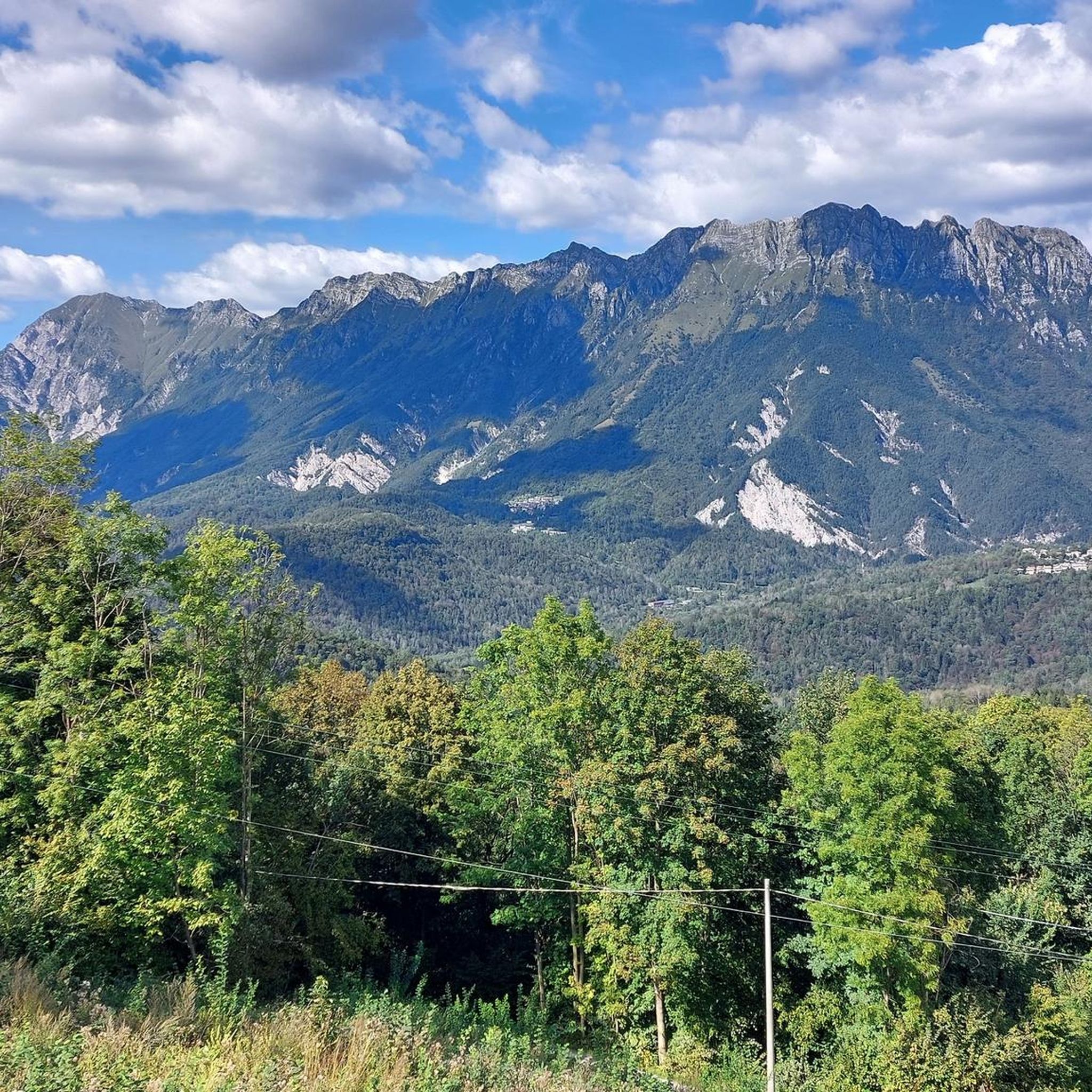
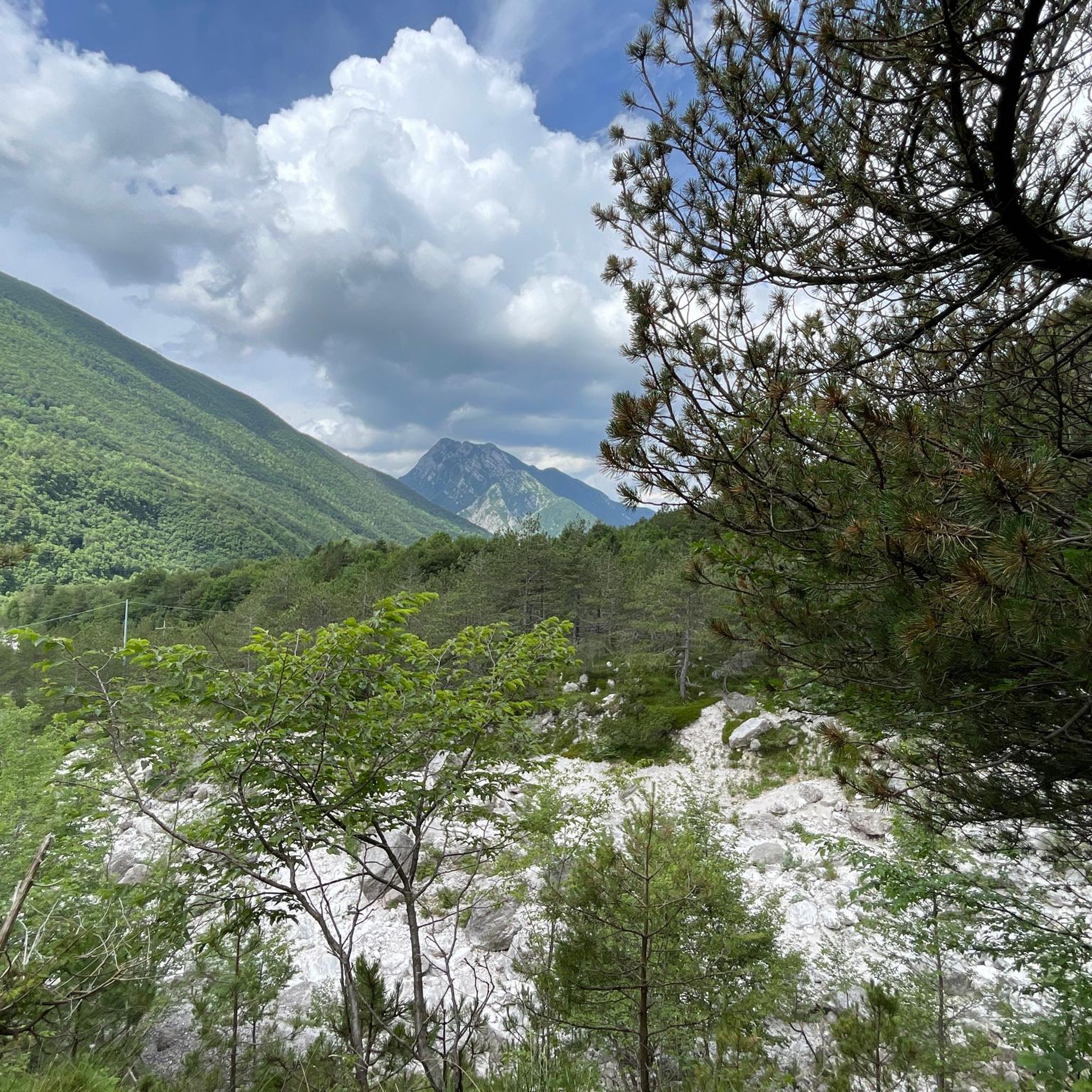
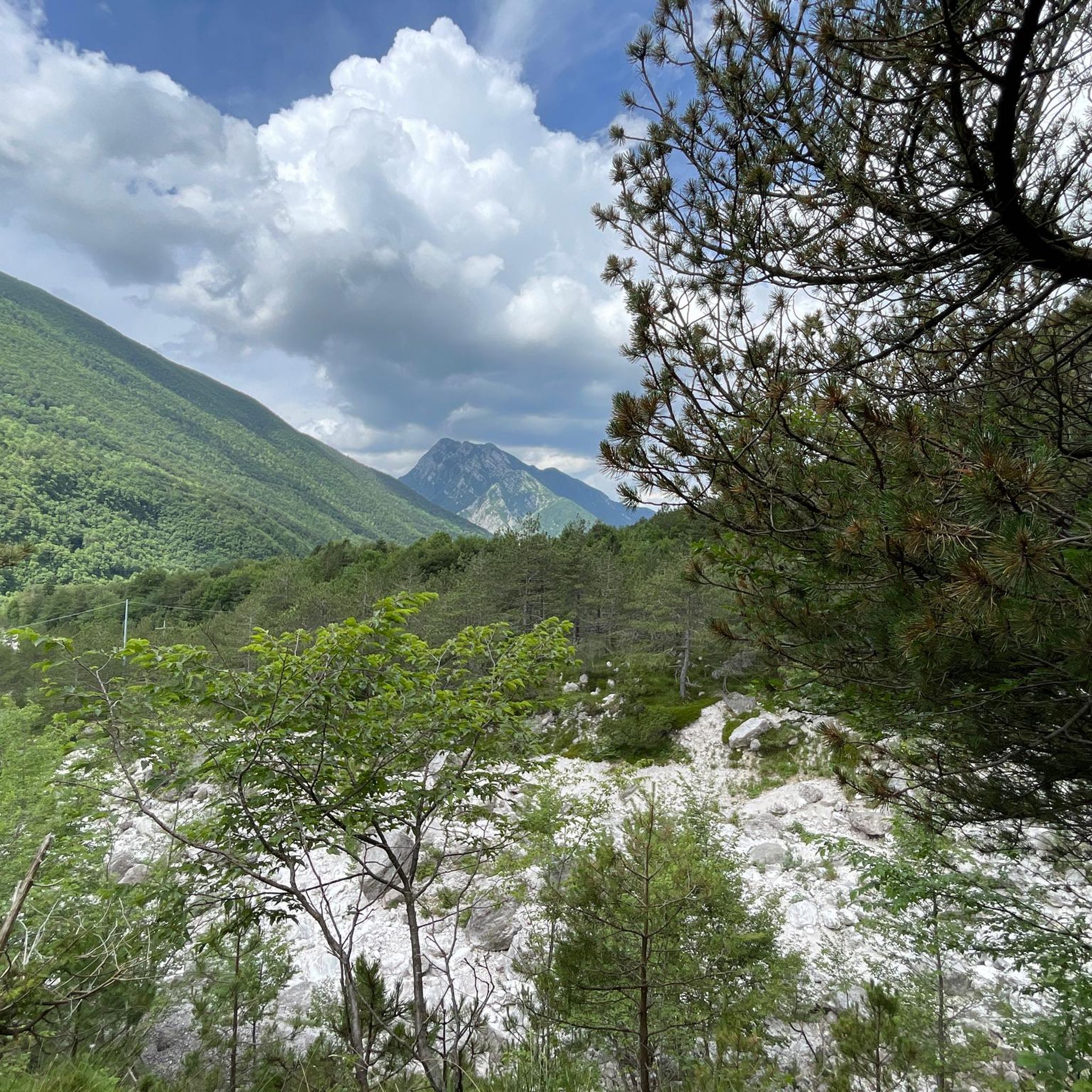
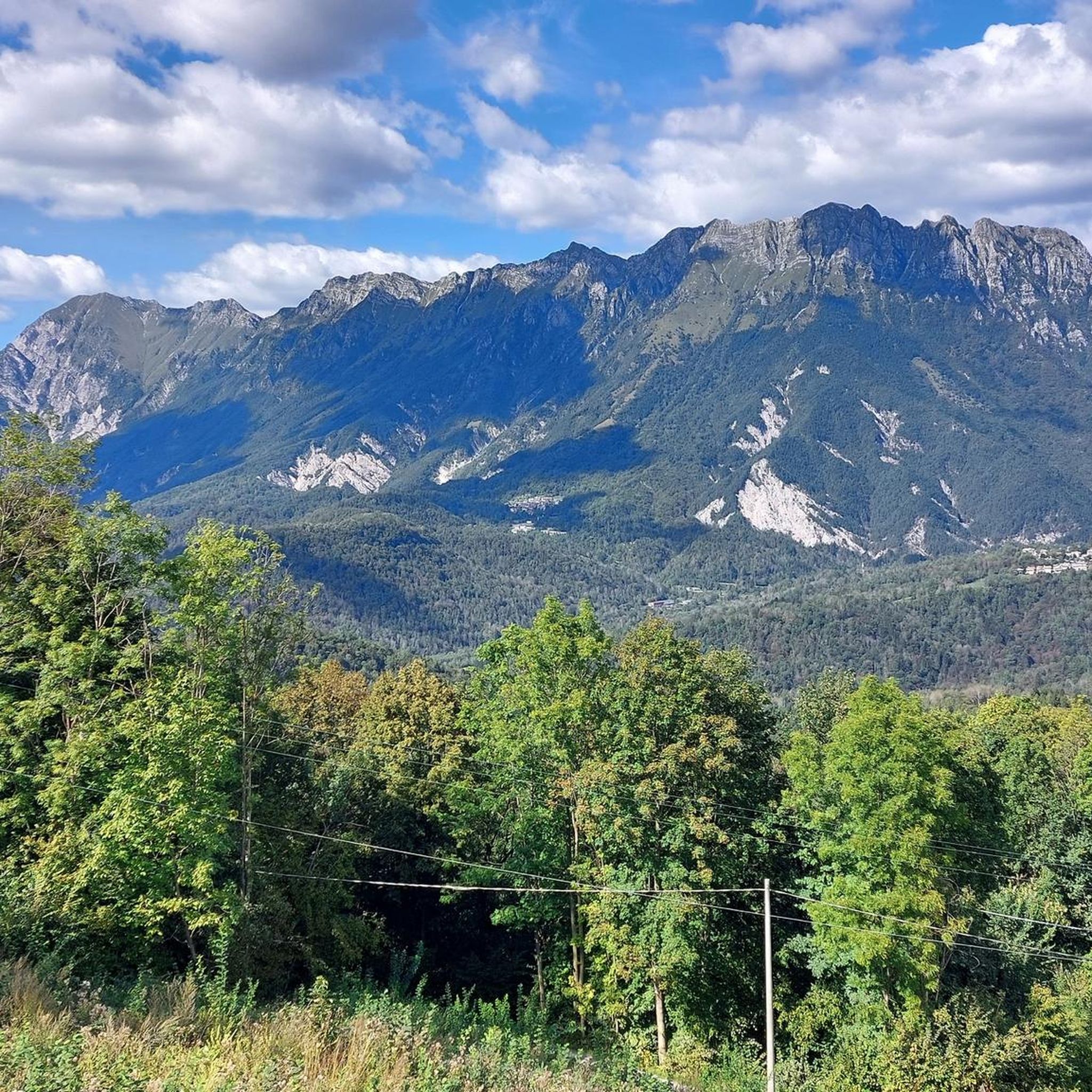


커뮤니티 팁


The Monte Bernadia-Lonza fort, built between 1908 and 1913, is a modern defensive structure on the middle Tagliamento River, later disarmed and left unused during the Great War. Today, restored, the fort can be visited (often only during special events), offering panoramic views, tunnels, and the nearby Julia lighthouse.
0
0

The Nischiuarch Alpine Hut is located in a beautiful grassy valley west of the mountain of the same name. Located at just under 1,200 meters above sea level, it is a convenient base at the eastern end of the long Musi mountain range. Completely renovated, the hut consists of two buildings: the one that is always open has a ground-floor room with a stove, table, bench, and adjoining cellar, while upstairs there are a couple of bed frames with mattresses. It can be reached from S. Anna di Carnizza in about an hour, or via CAI trail no. 739, Passo Tanamea, in the municipality of Lusevera, S.S. 646, in about an hour and a half. Useful Information - Water: Non-potable, but available depending on seasonal weather conditions - Beds: 6 - Wood-burning stove, some dishes, small pantry with basic necessities - Firewood: A small supply is available at the facility or easily found in the surrounding woods The facility also has 14 additional beds in the area reserved for recognized institutions and associations. Keys can be requested by emailing info@parcoprealpigiulie.it Shelters are a valuable asset to our area, providing hikers with a valuable base for trekking. When using them, it is important not to leave any traces of your presence, so we recommend: - Do not leave food easily accessible to mice and other animals; - Clean common areas; - Take all waste down to the valley. This facility is always open and unmanaged; maintenance is handled by the Park Authority with the essential contribution of local volunteers and all users! More info at: https://www.parcoprealpigiulie.it/it/principale/attivita/ricoveri-montani/ricovero-casera-nischiuarch
0
0

The church tower of Sedilis stands next to a small, railed "photo platform" that offers a sweeping view of Friuli. Historians will find memorial plaques and information panels about significant past events in the area around Sedilis interesting.
1
0

Panorama at the end of the climb (or at the beginning of the descent), very suggestive!
1
0

Suggestive bird sanctuary, now in disuse, well maintained and open to visitors.
0
0
Hill with a breathtaking view of Vendroza, the valley of the "Torrente Torre" and the Julian Alps.
0
0


더 살펴보기
다른 지역의 최고의 러닝 트레일 & 경로를 살펴보세요.
