메두노 최고의 워킹 & 하이킹 경로
4.3
(291)
1,156
등산객
36
하이킹
정확한 경로를 찾는 것이 때로는 어렵지만 메두노에서 하이킹을 하면 다양한 경치를 마음껏 감상할 수 있답니다. 메두노에서 가장 멋진 하이킹과 워킹 중에서 마음에 드는 활동을 시작해보세요.
마지막 업데이트: 8월 26, 2026
4.4
(55)
187
등산객
9.68km
04:19
780m
780m
보통 하이킹. 좋은 체력 필요. 대부분 갈 수 있는 길. 미끄러지지 않게 조심해야 함.
1
등산객
21.9km
09:26
1,300m
1,300m
Forest trail to a paragliding launch site with sweeping views from mountains to Adriatic Sea.

무료 회원 가입
4.5
(27)
187
등산객
6.73km
03:35
640m
640m
보통 하이킹. 좋은 체력 필요. 대부분 갈 수 있는 길. 미끄러지지 않게 조심해야 함.
4.1
(7)
23
등산객
7.39km
02:45
460m
460m
보통 하이킹. 좋은 체력 필요. 실력과 관계없이 누구나 쉽게 갈 수 있는 길.
4.0
(10)
30
등산객
13.5km
04:34
640m
640m
보통 하이킹. 좋은 체력 필요. 대부분 갈 수 있는 길. 미끄러지지 않게 조심해야 함.
더 다양한 경로와 다른 탐험가들의 추천을 살펴보세요.
무료 회원 가입
이미 komoot 계정이 있나요?
투어 추천은 다른 사람들이 komoot에서 완료한 수천 개의 활동을 바탕으로 구성되어 있습니다.
오늘 무료 계정으로 시작하세요
다음 모험이 기다리고 있어요.
로그인 또는 가입하기
커뮤니티 팁

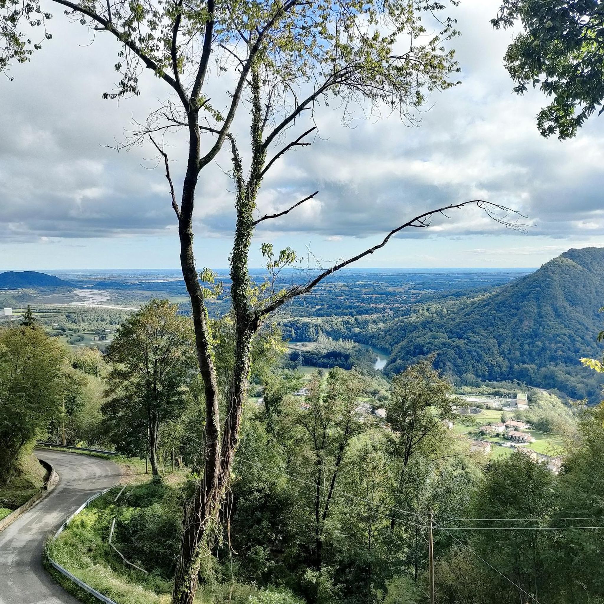
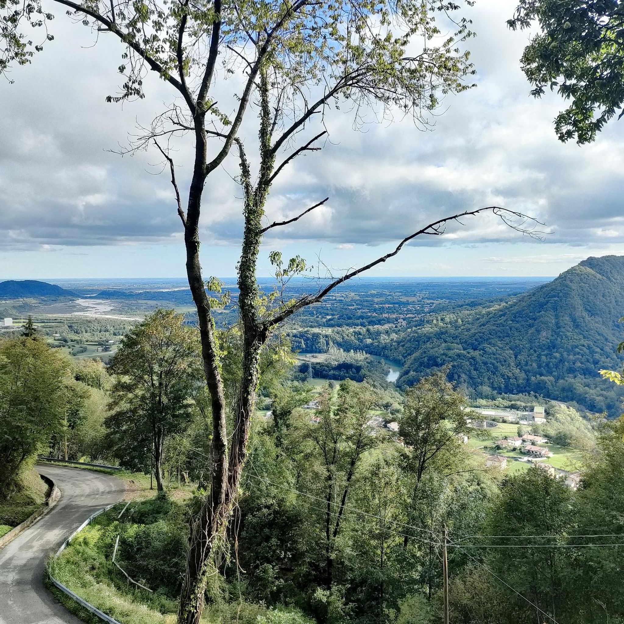
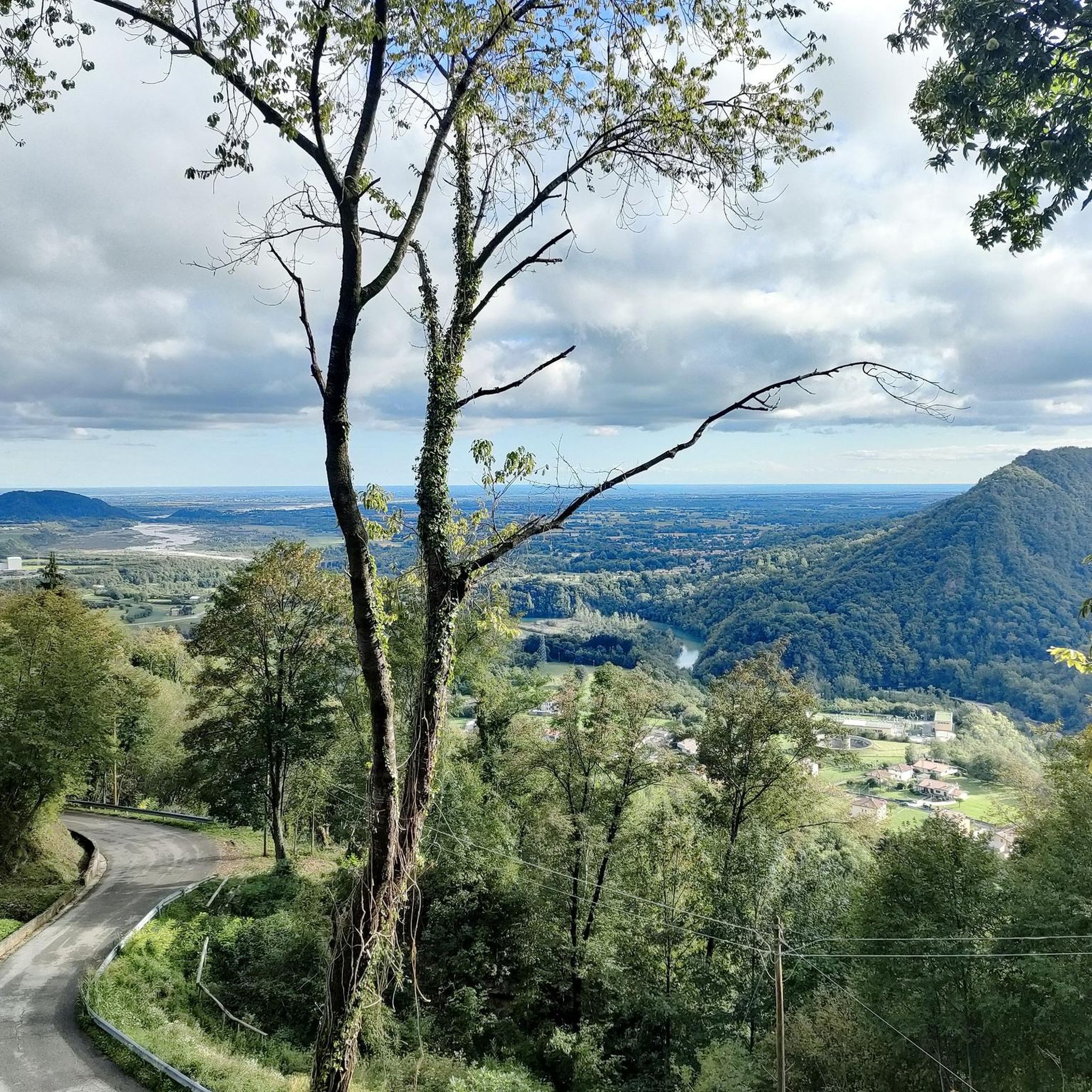
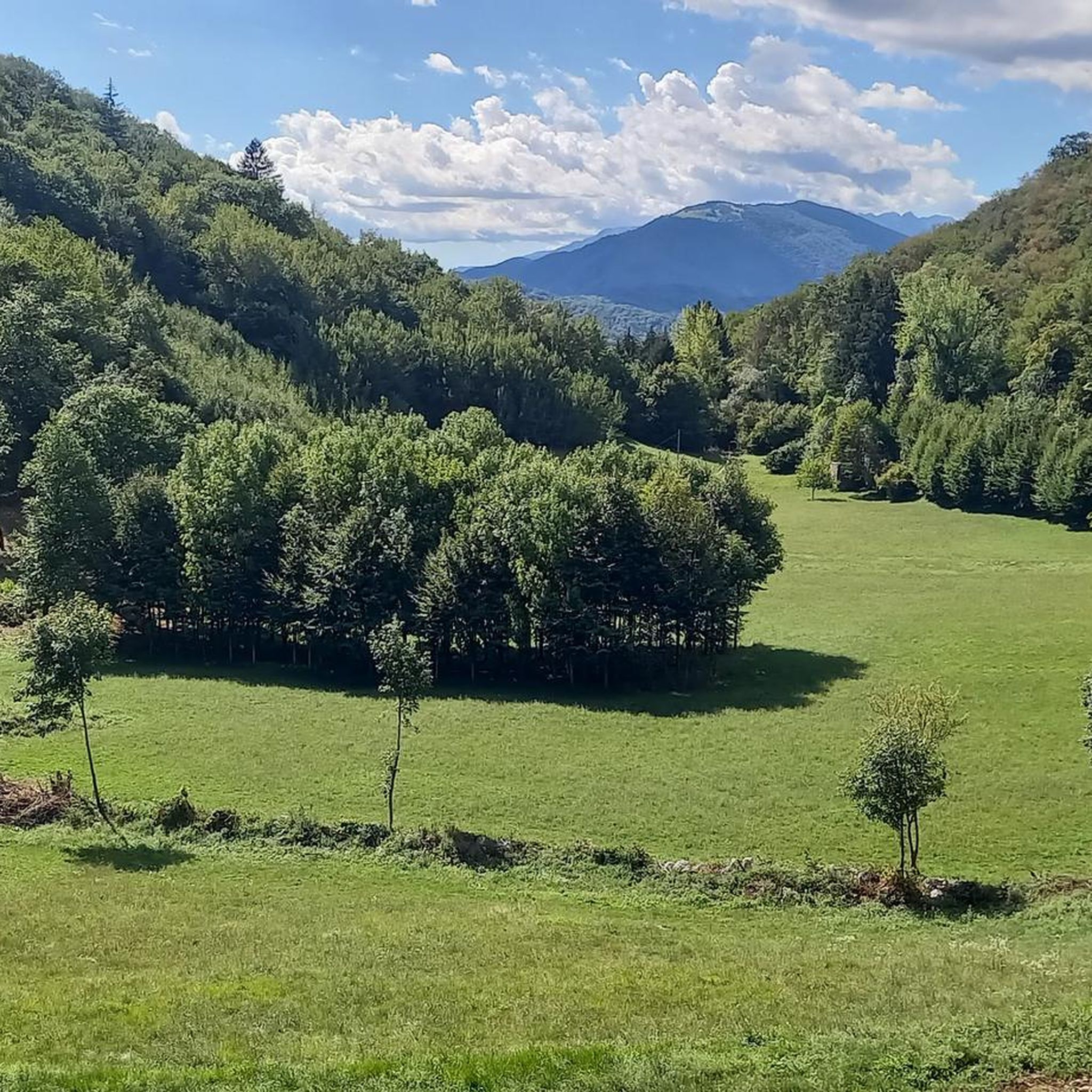
crossroads of paths to the summit of Monte Valinis and 3 other paths towards Monte Ciaurlec, the crest of Monte Ciavoleit and the descent to Meduno
0
0

The summit of Mount Valinis, 1,102 meters, is easily accessible by hiking from all sides. It's easy to reach the paragliding launch point by e-bike. From there to the summit, the ascent and descent by e-bike is quite technical.
1
0
From CAI trail 819, with a small detour, it is possible to pass by Malga Chiavoleit and Malga Bortolussi.
0
0
The CAI 819 trail climbs directly from the Sottomonte area to the summit of Valinis.
0
0
Casera Valinis, a shelter and emergency bivouac just below the summit of Mount Valinis.
0
0
Monte Valinis, an international launch and takeoff point for hang gliders and paragliders.
0
0
The Alpine path climbs from Cilia to the top of Mount Valinis or to Forchia di Meduno.
0
0


더 살펴보기
다른 지역의 최고의 하이킹를 살펴보세요.
