트라보 최고의 러닝 경로
4.3
(31)
1,542
달리기 하는 사람
31
러닝
트라보에서 하이킹하며 피아첸차 구석 부분까지 살펴볼까요? 트라보에 있는 모든 하이킹 및 워킹 경로 컬렉션 중 가장 멋진 하이킹 경로를 엄선하여 소개해드릴게요. 다른 하이커가 공유한 실제 팁과 사진을 살펴보고 후기를 읽으며 마음에 드는 트라보 워킹 경로를 찾아보세요.
마지막 업데이트: 8월 29, 2026
5.0
(2)
65
달리기 하는 사람
22.8km
03:01
840m
840m
어려운 조깅. 우수한 체력 필요. 대부분 포장된 지면. 실력과 관계없이 누구나 갈 수 있음.
4.7
(3)
78
달리기 하는 사람
25.9km
03:35
950m
950m
어려운 조깅. 우수한 체력 필요. 대부분 포장된 지면. 실력과 관계없이 누구나 갈 수 있음.

무료 회원 가입
5.0
(2)
52
달리기 하는 사람
15.8km
02:14
680m
680m
어려운 조깅. 우수한 체력 필요. 대부분 포장된 지면. 실력과 관계없이 누구나 갈 수 있음.
22
달리기 하는 사람
9.16km
01:18
390m
390m
어려운 조깅. 우수한 체력 필요. 대부분 포장된 지면. 실력과 관계없이 누구나 갈 수 있음.
20
달리기 하는 사람
16.6km
02:14
670m
670m
어려운 조깅. 우수한 체력 필요. 대부분 포장된 지면. 실력과 관계없이 누구나 갈 수 있음.
더 다양한 경로와 다른 탐험가들의 추천을 살펴보세요.
무료 회원 가입
이미 komoot 계정이 있나요?
투어 추천은 다른 사람들이 komoot에서 완료한 수천 개의 활동을 바탕으로 구성되어 있습니다.
오늘 무료 계정으로 시작하세요
다음 모험이 기다리고 있어요.
로그인 또는 가입하기

커뮤니티 팁

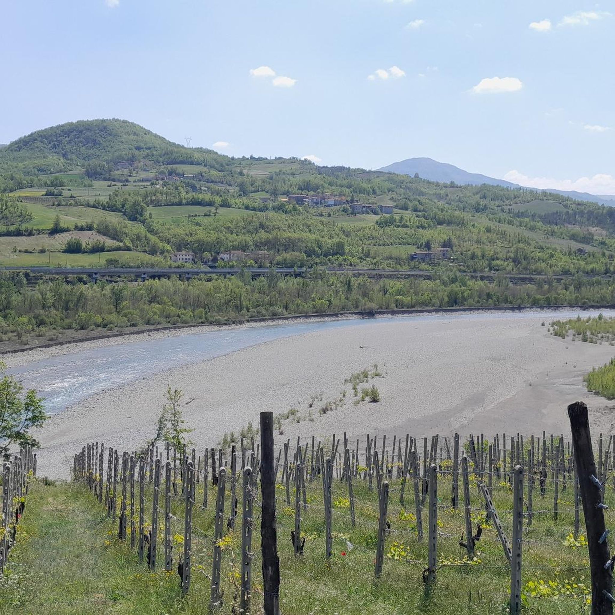
트라보에서 코스타 델 불라(CAI 101번 길)까지 이어지는 이 경로는 발 트레비아 능선에 대한 멋진 파노라마 코스를 제공합니다.
13
0

Nice route arriving from Travo or Costa del Bulla via SP 76
1
0

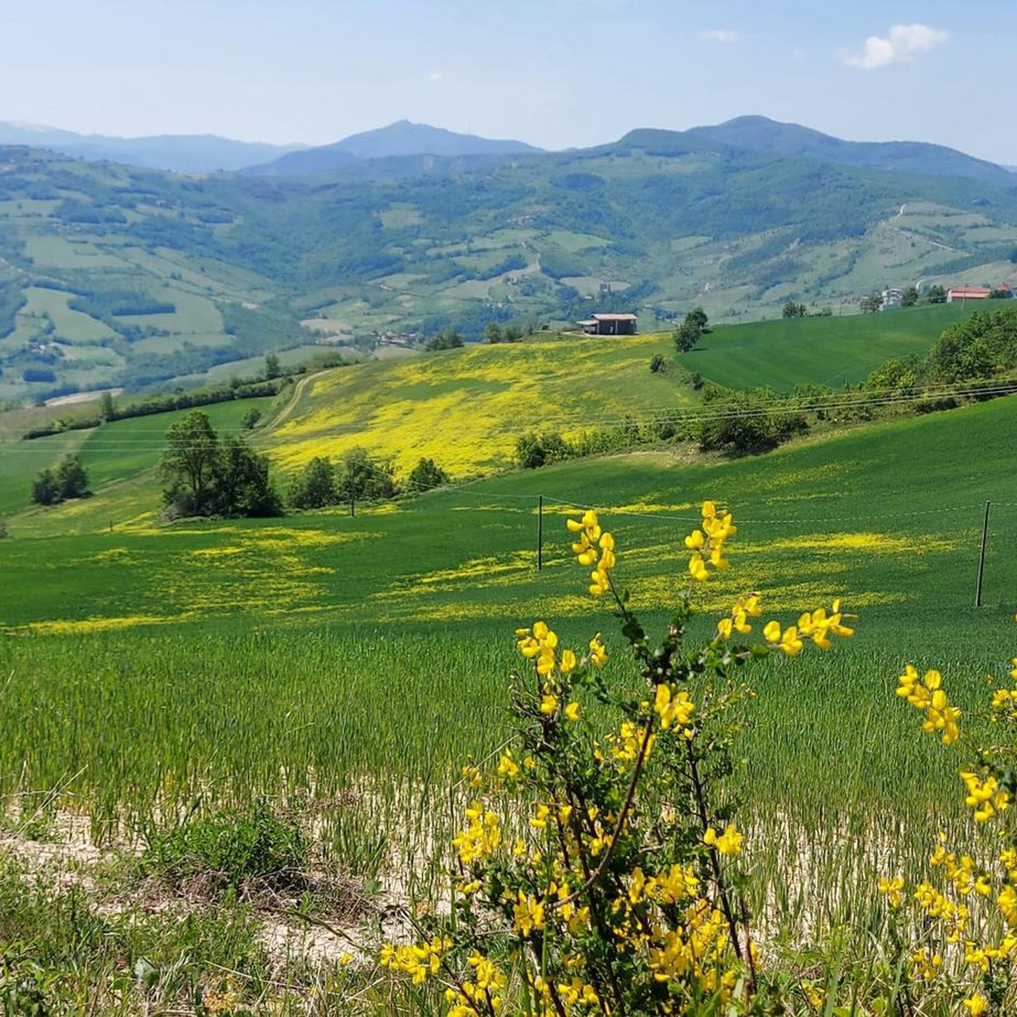
From this panoramic point above Travo and Perino, in the Piacenza Apennines, green valleys seem to flow towards the Trebbia River and its valley. On these paths at the foot of the Lazzaro and Buga mountains it is often difficult to meet a living soul, which makes the adventure a true immersion in nature.
1
0

Pillerone is 601 m high and not 594. and the view extends over nothing because the top is surrounded by woods. I don't know how Martina manages to write this rubbish...🤣
3
0

The mighty castle of Momeliano, made up of three rectangular bodies arranged on a U-shaped plan, is the result of two construction phases. The oldest nucleus dates back to the fourteenth century, the most recent one can be dated between the fifteenth and sixteenth centuries. Over the centuries it underwent several changes of ownership, up to the Stevani family who, at the end of the nineteenth century, put much of the surrounding land under viticulture. The general state of conservation of the castle is good. Worth noting are: traces of the joints of the drawbridge in the building facing south-east; the battlements, now closed in an arch and accessible via a narrow corridor; the remains of the pointed arched windows walled up on the south-east front; the loggia towards the courtyard; two pairs of arches.
0
0

The road with a compact dirt surface continues in the woods. The space is quite large and attention must be paid to the possible presence of cyclists.
3
0
Leaving the paved road, the dirt road continues towards the summit of Monte Pillerone.
3
0
With its 594 m of altitude, Monte Pillerone is considered a destination that can be reached by everyone. From here the panorama extends from the Po Valley to the Alps
4
3
트라보 주변에서 가장 인기 있는 명소


더 살펴보기
다른 지역의 최고의 러닝 트레일 & 경로를 살펴보세요.
