20의 바르디가지 명소 & 주요 장소
바르디에는 둘러볼 만한 장소가 많답니다. 하이킹 또는 사이클링을 좋아한다면 바르디에 숨겨진 20
가지 보석을 만날 수 있을 거예요. 이 지역의 주요 명소를 살펴보면서 다음 모험을 계획해보세요.
마지막 업데이트: 8월 29, 2026
몬테 부에 정상과 십자가
하이라이트 • 정상
번역자 Google •
팁에 의해

이런 장소를 발견하려면 지금 가입하세요
최고의 싱글 트랙, 봉우리 및 다양한 흥미로운 야외 장소에 대한 추천을 받아보세요.
무료 회원 가입
몬테 카레볼로 정상 십자가
하이라이트 • 정상
번역자 Google •
팁에 의해

프라토 델라 치폴라 산장
하이라이트 • 산장
번역자 Google •
팁에 의해


오늘 무료 계정으로 시작하세요
다음 모험이 기다리고 있어요.
로그인 또는 가입하기

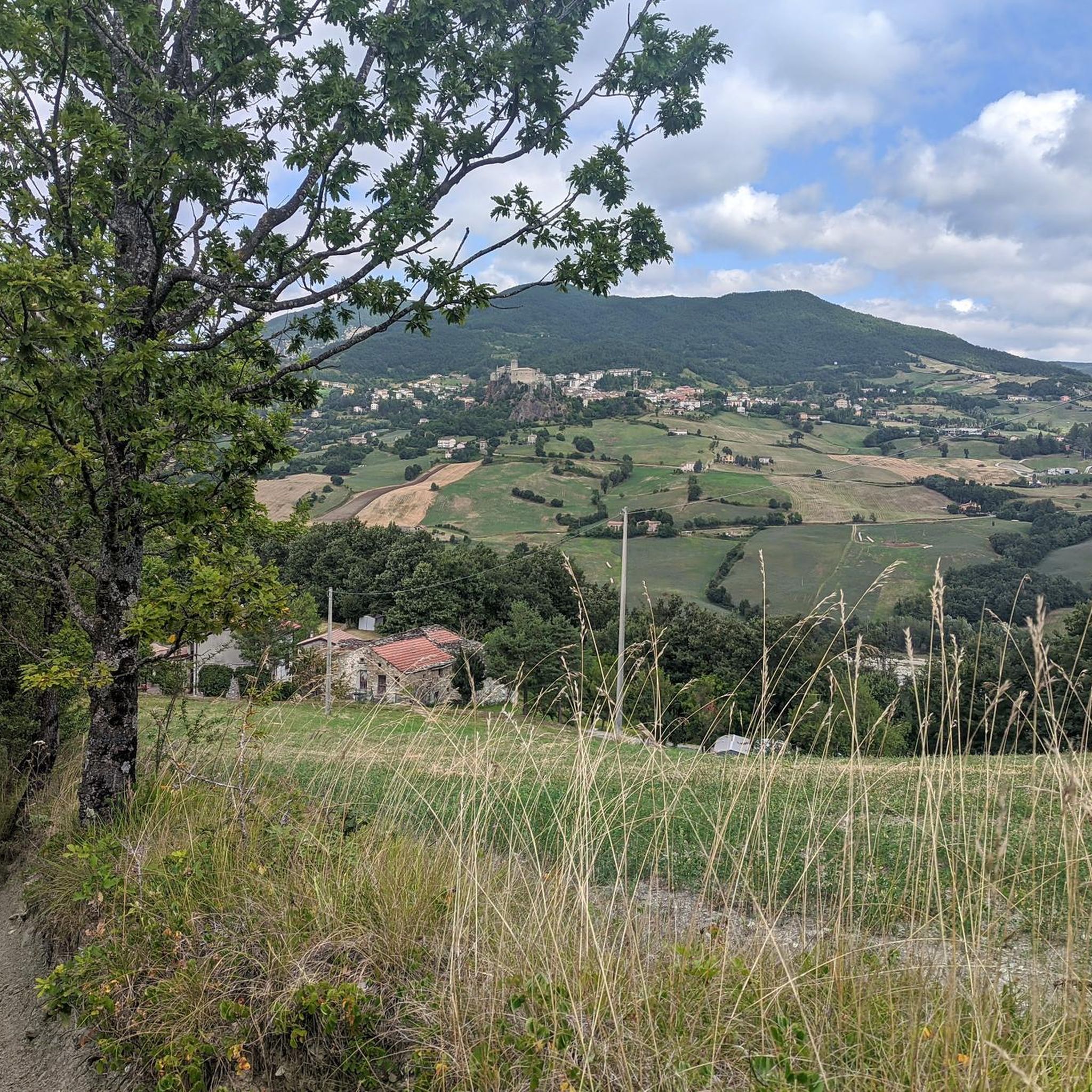
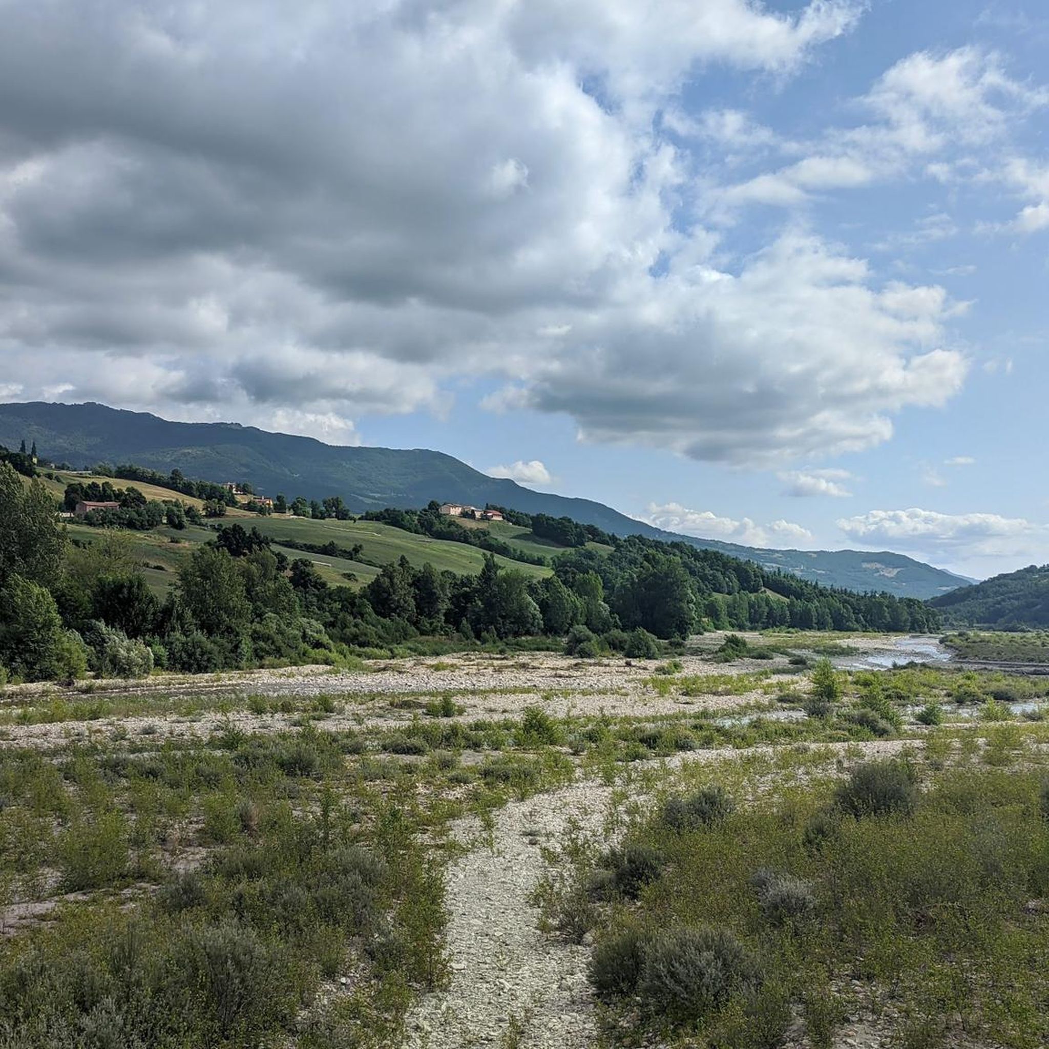
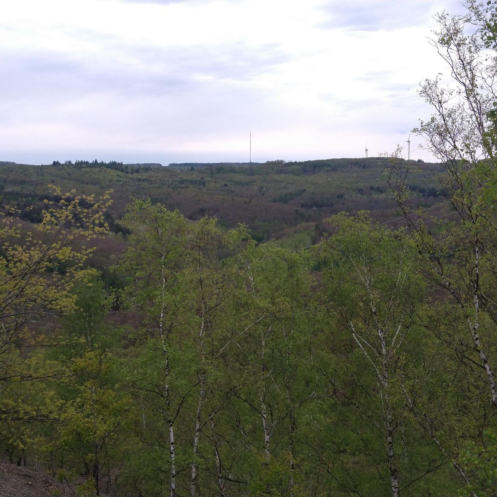


커뮤니티 팁

자연 속에 자리한 아늑한 산장입니다. 저희는 커피를 마셨는데, 보온병에 담겨 나와서 괜찮았지만, 감자 케이크 한 조각도 먹었습니다. 맛있었지만 양은 "맛보기" 수준이었습니다… 3유로에 감자 케이크가 두 입이면 끝나는 작은 조각일 수는 없죠… 양은 그렇다 치고, 이곳은 잠시 쉬어가기 좋습니다.
0
0

Arriving there is a surprising discovery, an open, restful, and expansive vision: the impression is of arriving in a separate territory, distinct from that in which the common human consortium takes place. There are some Prato Grande meadows scattered throughout the mountainous regions of Italy. Ours, here in the high Piacenza Apennines, extends at around 1,450 meters above sea level, on the right bank of the Nure stream, in the municipality of Ferriere; we are in the area of high-altitude prairies, within which it forms the ideal link between the expanses of Lake Moo and Prato Molle to the north, and that of Prato Bure, to the south. The northern peak of Mount Ragola (1,767 meters) dominates the southwest, imposing itself on hikers who approach it by climbing from the basin of Lake Bino, topped by characteristic rocky outcrops and graced, in July and August, by the fleshy flowers of the yellow water lily. On the eastern flank, Prato Grande is lapped by the Lardana stream, which here flows slowly, little more than a stream, before plunging into a charming waterfall where the plateau ends, near the Rocca dell'Aquila. Beyond Lardana extend the vast foothills of Mount Camulara, also known locally as Lazzarina. Soft underfoot in the summer, when dozens of cattle and Bardigiano horses graze, the meadow is covered in a steady, compact blanket of snow in the winter, which lasts until March, glowing pink on full moon nights. It is precisely on this splendid plateau that in 2006, the Pro Loco Ferriere, in an effort to enhance the area's tourism offerings, built the "Monte Ragola" mountain hut in collaboration with the Municipality. The idea stemmed from the awareness that the upper Nure Valley has always been a popular destination for hiking enthusiasts, as it is home to many of the most beautiful spots in the Piacenza Apennines. With this in mind, we built this mountain hut, which serves as a stopover and base for everyone, from experts to beginners, who wish to spend a day of sport and relaxation in our mountains. Since its inception, the refuge has hosted several groups of hikers who come to the mountain not only on foot but also by bicycle or on horseback, offering them a quiet and simple place to eat and rest before continuing their journey. Since the 2006/07 season, our tourism offering has not been limited to the summer months; our activities have never stopped in the winter either. Thanks to the management of a cross-country ski trail starting from the Zovallo Pass and the organization of various snowshoe excursions, many people have had the opportunity to experience our Apennines even in the particularly charming season of winter, all in complete safety. Source: Proloco Ferriere
0
0

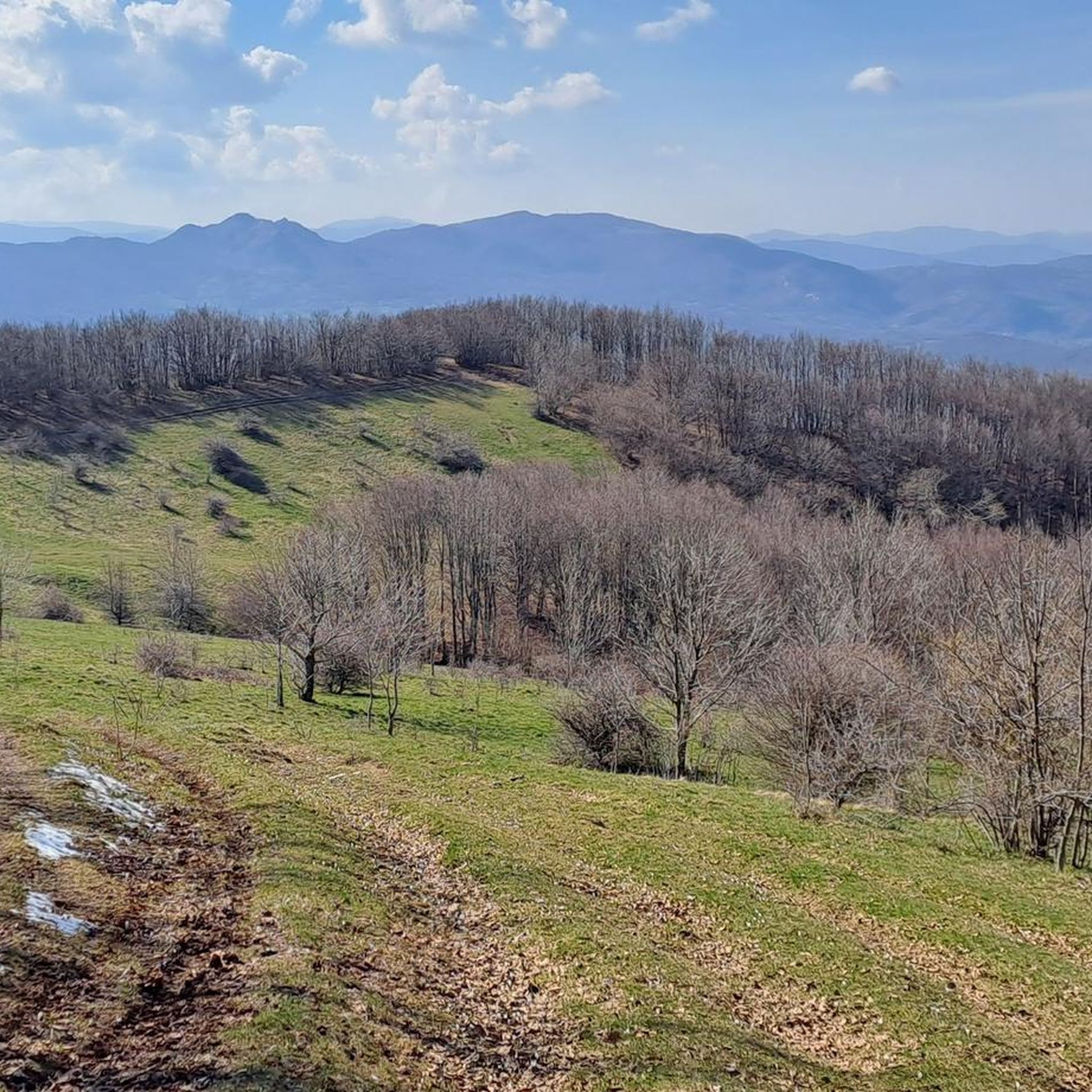
Excellent view of the Piacenza valleys
0
0

Great view between upper Nure valley and middle D'aveto valley
0
0

Located in the splendid setting of Prato della Cipolla, in the municipality of Santo Stefano d'Aveto, at an altitude of 1,550 meters, the Prato della Cipolla refuge is a crossroads of paths and is open on all the days of opening of the ski lifts, with bar and restaurant service. It is possible to book through their Facebook page.
0
0

Refuge open in summer with refreshment point, run by smart guys. Very useful for tackling all the various routes that start from Prato Grande.
1
1

바르디 주변에서 가장 인기 있는 명소


더 살펴보기
찾고 있는 하이라이트를 아직 못 찾으셨나요? 다른 지역의 주요 명소 가이드를 확인해보세요:
