피에트라브루나 최고의 러닝 경로
4.5
(195)
9,591
달리기 하는 사람
242
러닝
피에트라브루나에서 하이킹하며 임페리아 구석 부분까지 살펴볼까요? 피에트라브루나에 있는 모든 하이킹 및 워킹 경로 컬렉션 중 가장 멋진 하이킹 경로를 엄선하여 소개해드릴게요. 다른 하이커가 공유한 실제 팁과 사진을 살펴보고 후기를 읽으며 마음에 드는 피에트라브루나 워킹 경로를 찾아보세요.
마지막 업데이트: 10월 10, 2026
5.0
(2)
4
달리기 하는 사람
12.4km
02:08
800m
800m
어려운 조깅. 우수한 체력 필요. 튼튼한 신발을 신고 미끄러지지 않게 조심해야 하며, 높은 산을 오른 경험이 있어야 함.
14
달리기 하는 사람
7.17km
00:49
150m
150m
보통 조깅. 좋은 체력 필요. 대부분 포장된 지면. 실력과 관계없이 누구나 갈 수 있음.

11
달리기 하는 사람
6.61km
00:47
200m
190m
보통 조깅. 좋은 체력 필요. 대부분 포장된 지면. 실력과 관계없이 누구나 갈 수 있음.
13
달리기 하는 사람
8.79km
01:08
280m
280m
어려운 조깅. 좋은 체력 필요. 튼튼한 신발을 신고 미끄러지지 않게 조심해야 하며, 높은 산을 오른 경험이 있어야 함.
15
달리기 하는 사람
7.27km
00:53
310m
310m
어려운 조깅. 우수한 체력 필요. 대부분 포장된 지면. 실력과 관계없이 누구나 갈 수 있음.
더 다양한 경로와 다른 탐험가들의 추천을 살펴보세요.
이미 komoot 계정이 있나요?
투어 추천은 다른 사람들이 komoot에서 완료한 수천 개의 활동을 바탕으로 구성되어 있습니다.
오늘 무료 계정으로 시작하세요
다음 모험이 기다리고 있어요.

커뮤니티 팁

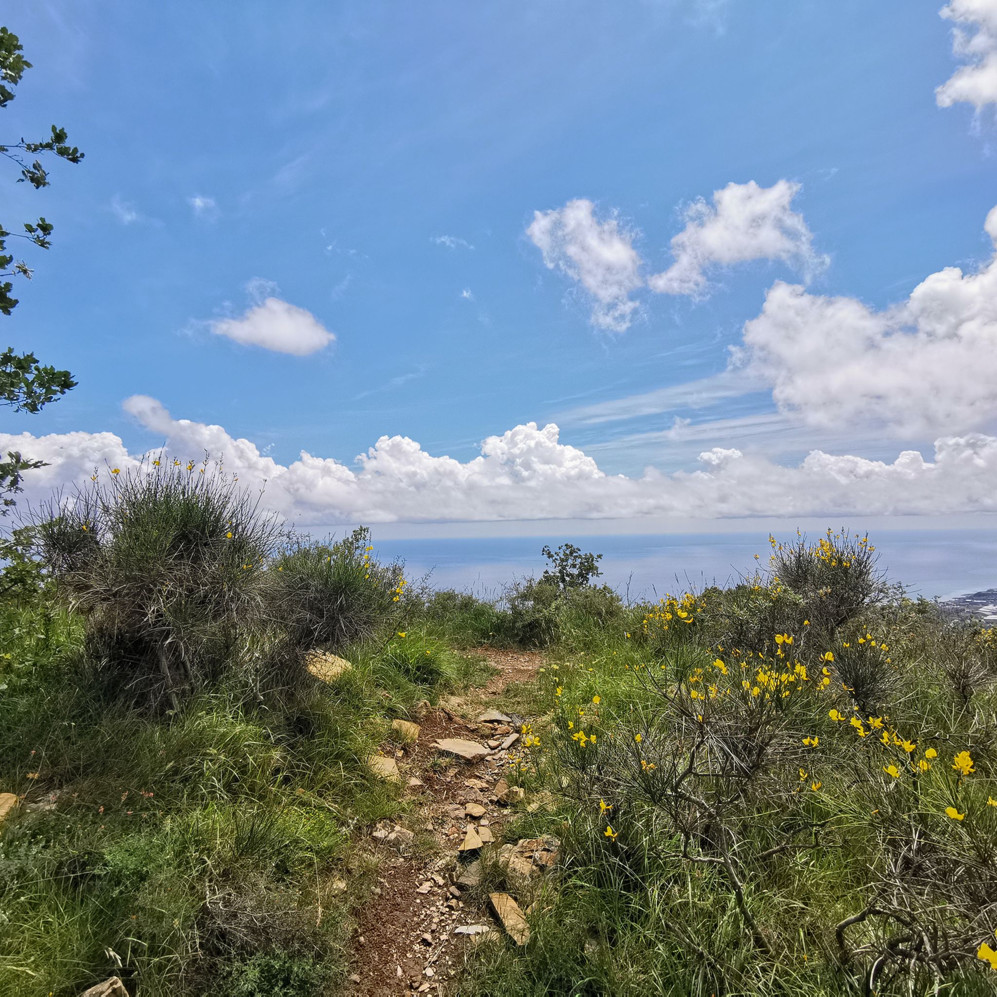
The road from Costarainera to Cipressa offers stunning sea views. In Cipressa, you can get water from the fountain.
0
0

This isn't the last fountain if you're aiming for the summit of Mount Faudo. In case of emergency, there's another one halfway up the Fratti climb, just after the last house before the Vena Pass: just follow the water pipe and you'll find it. Another one is located just below the summit, between Mount Faudo and Mount Follia, along the descent on the other side.
0
0
There's something mystical about Mount Faudo: a trail of ancient stories, far back in time. Today, it's best known for the marathon trail that climbs from Imperia to its summit and for the antennas dotting it; yet for centuries, it was a contested land between the church, neighboring states, and the villages on its slopes. Since the ancient Ligurians, well before the Romans. It shares this burden with Mount Follia and Mount Sette Fontane. The oldest evidence of human settlement in the Dolcedo area is near Mount Follia, a conical peak on the southern slope of Mount Faudo. Traces of metalworking have emerged there, with furnaces and residential structures, dating back to the Iron Age castellari, fortifications placed high up for observation and defense, in visual contact with other castellari in the area. Today, the site is abandoned: one can still walk and imagine the defensive landscape of the ancient Ligurians.
1
0
One of the few trails maintained year-round, it's fun and very flowy. It's incredibly easy compared to any other trail in the area, if only because you don't have to walk through brambles.
0
0

The summit cross that crowns Monte FAUDO loses its effect as the crowning glory of the mountain due to its immediate surroundings: This mountain peak is obviously also a radio station, because antenna masts in the immediate vicinity tower significantly above the summit cross and unfortunately deprive this small sacred monument of its visual impact.
1
0
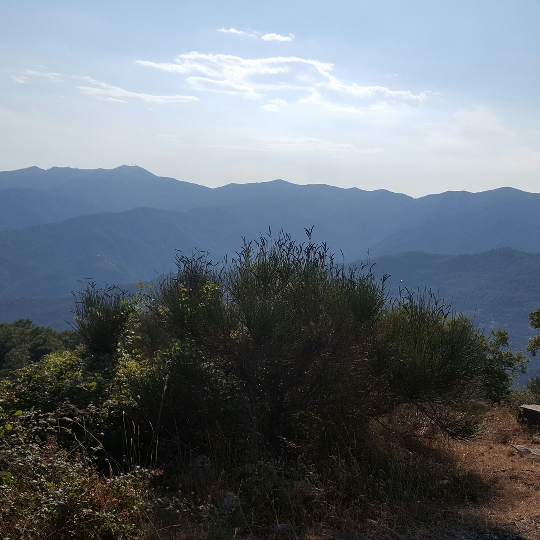
Monte Faudo, a word that seems to derive from the Arabic word "faud" or lighthouse, which the Saracens would have installed on the top of the mountain considering that, from that height, the view embraces a vast extension of the territory. The massif of Mount Faudo has always represented in ancient times a center around which relationships took place between the Ligurians of the Taggia valley (of Taggia) with those of the Imperia valleys; it is easily accessible from Taggia, from Badalucco, from Montalto, from Boscomare, from Pietrabruna, from Tavole, from Valloria.
1
0

The Church of Sant'Antonio is a small and charming chapel located along one of the most scenic hiking trails in the area. Situated in a dominant position, it offers splendid views of the Ligurian coast and the hinterland. The simple and rustic building is surrounded by olive groves and Mediterranean scrub, making it an ideal stop for hikers looking for a place of peace and contemplation during walks between nature and history.
0
0
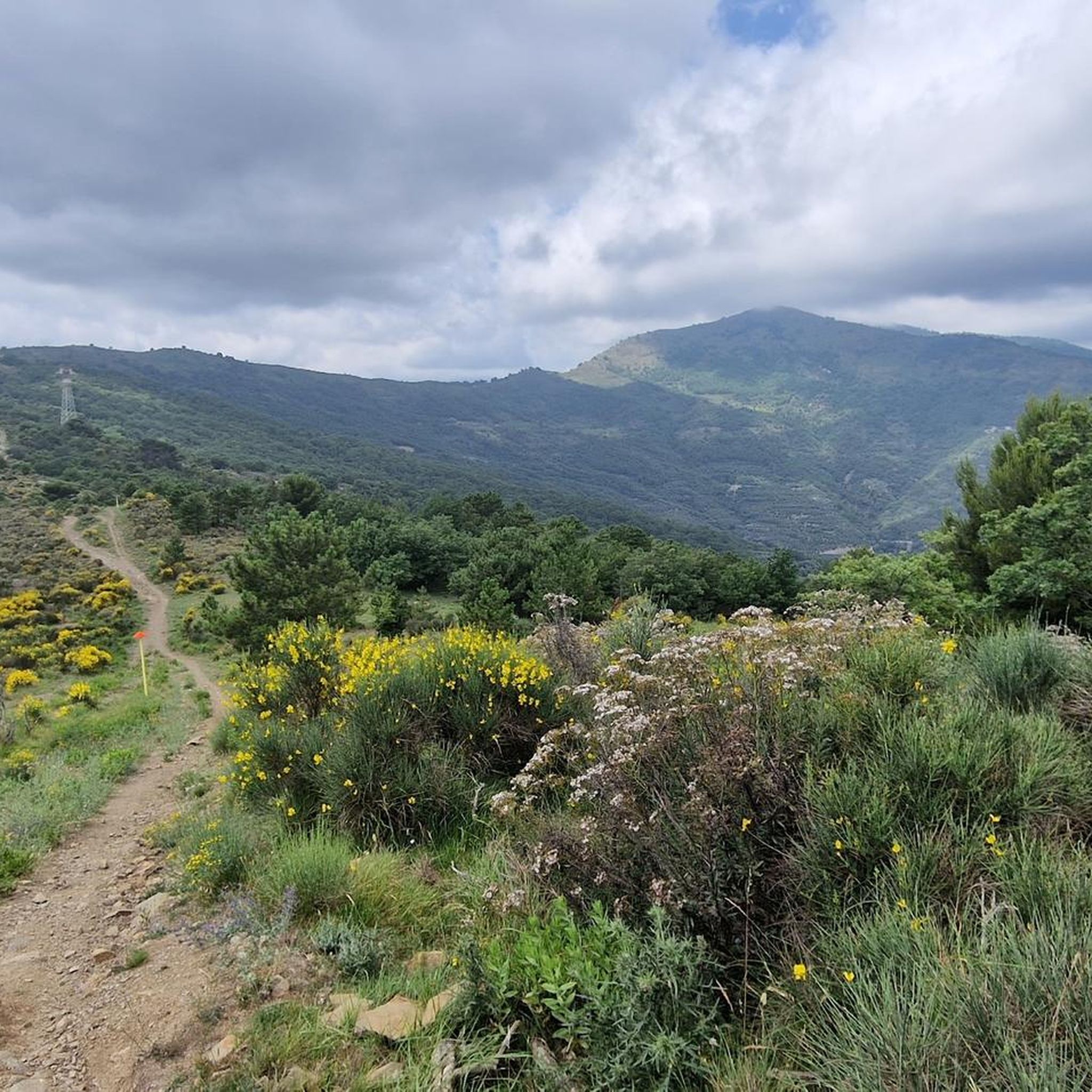
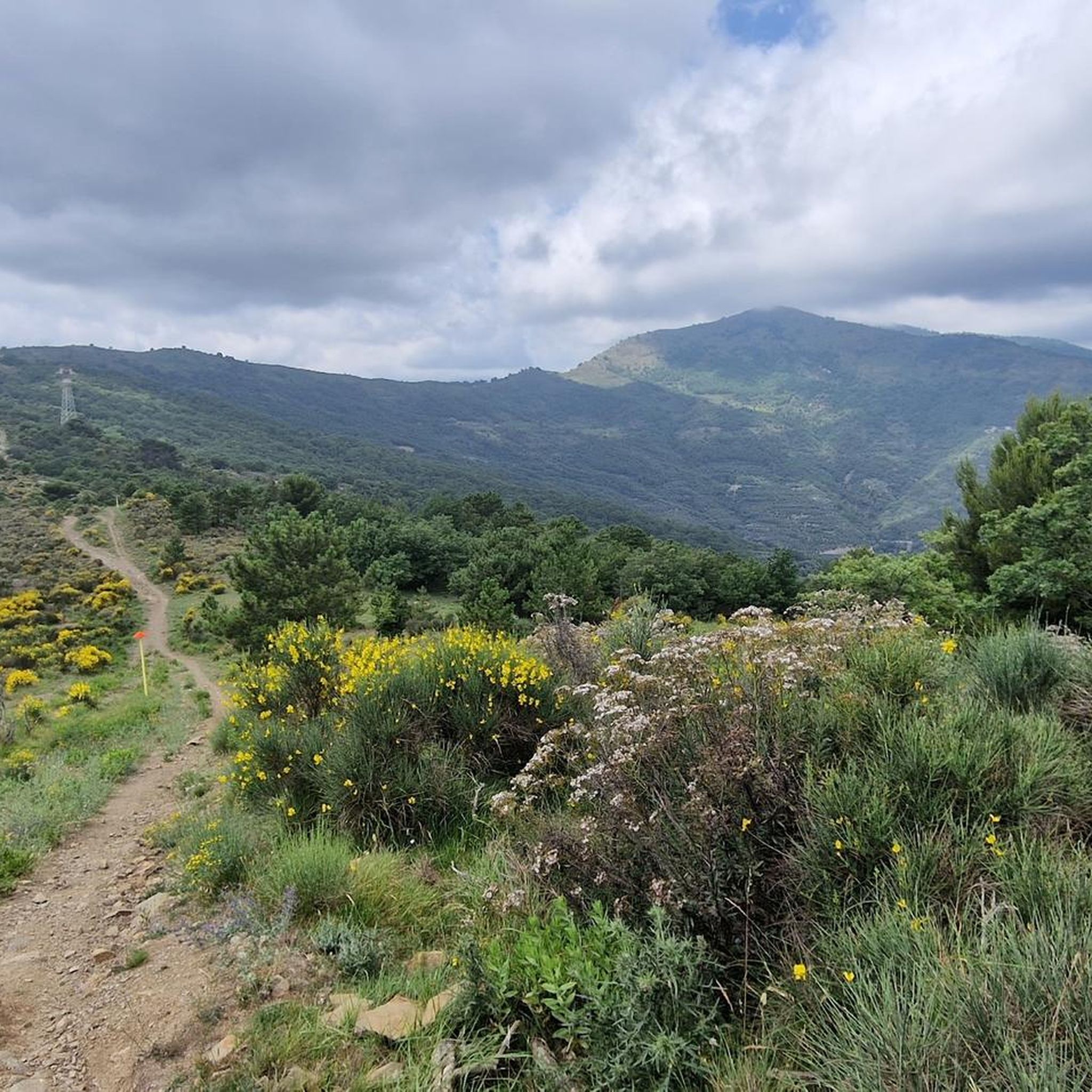
Stunning viewpoint halfway up the Faudo. Often you can find wild horses in the shaded areas.
0
0
피에트라브루나 주변에서 가장 인기 있는 명소


더 살펴보기
다른 지역의 최고의 러닝 트레일 & 경로를 살펴보세요.
