경로

플래너

기능

업데이트

App

로그인 또는 가입

앱 다운로드

로그인 또는 가입

로그인 또는 가입

경로
사이클링 경로
독일
바이에른
스와비아
아이하흐-프리드베르크

렐링

렐링 최고의 사이클링 경로

4.7

(87)

580

자전거 타는 사람

26

라이딩

렐링 최고의 사이클링 경로를 찾으시나요? 렐링에서 가장 멋진 자전거 라이딩 장소를 살펴본 후에 바로 떠나보세요. 여기서 마음에 드는 경로만 고르시면 돼요!

마지막 업데이트: 5월 24, 2026

4.5

(22)

86

자전거 타는 사람

#1.

Rehling에서 출발하는 레흐 운하와 레흐 운하 사이 – 클로스터 티어하우프텐 순환 코스

48.3km

02:50

120m

120m

보통 자전거 타기. 좋은 체력 필요. 대부분 포장된 지면. 실력과 관계없이 누구나 갈 수 있음.

기기에서 길안내

휴대폰으로 전송

저장

보통

보통 자전거 타기. 좋은 체력 필요. 대부분 포장된 지면. 실력과 관계없이 누구나 갈 수 있음.

보통
guide_signup
저희가 komoot 모바일 앱로 길을 안내해 드리겠습니다.
무료 komoot 계정로 끝없는 야외 모험을 손쉽게 찾고, 맞춤 설정하며 길안내할 수 있어요.

무료 회원 가입

초급용 자전거 라이딩. 모든 체력 수준에 적합. 대부분 포장된 지면. 실력과 관계없이 누구나 갈 수 있음.

초급

초급용 자전거 라이딩. 모든 체력 수준에 적합. 대부분 포장된 지면. 실력과 관계없이 누구나 갈 수 있음.

초급

초급용 자전거 라이딩. 모든 체력 수준에 적합. 대부분 포장된 지면. 실력과 관계없이 누구나 갈 수 있음.

초급
무료 회원 가입 후 렐링 주변 라이딩 경로를 22개 더 확인하세요

더 다양한 경로와 다른 탐험가들의 추천을 살펴보세요.

무료 회원 가입

이미 komoot 계정이 있나요?

투어 추천은 다른 사람들이 komoot에서 완료한 수천 개의 활동을 바탕으로 구성되어 있습니다.

오늘 무료 계정으로 시작하세요

다음 모험이 기다리고 있어요.
로그인 또는 가입하기

렐링 주변 인기 장소

렐링 로드 사이클링 경로

렐링 하이킹

렐링 러닝 트레일

렐링 주변 그래블 라이딩

렐링 MTB 트레일

커뮤니티 팁

Natourfreund
5월 25, 2026, Lech River at Gersthofen

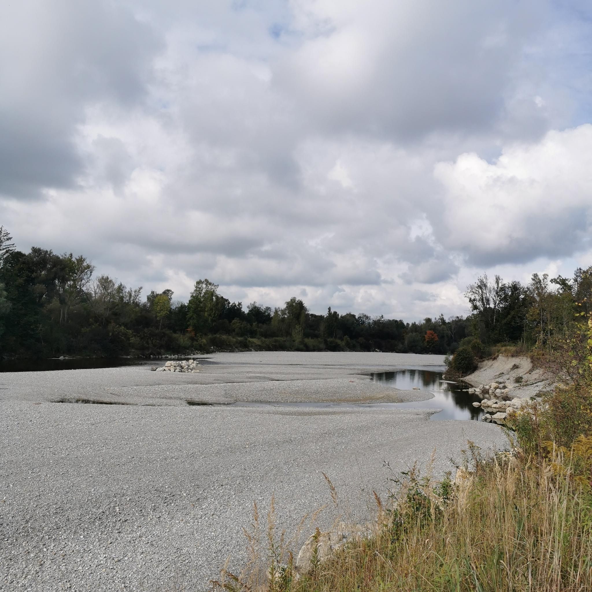
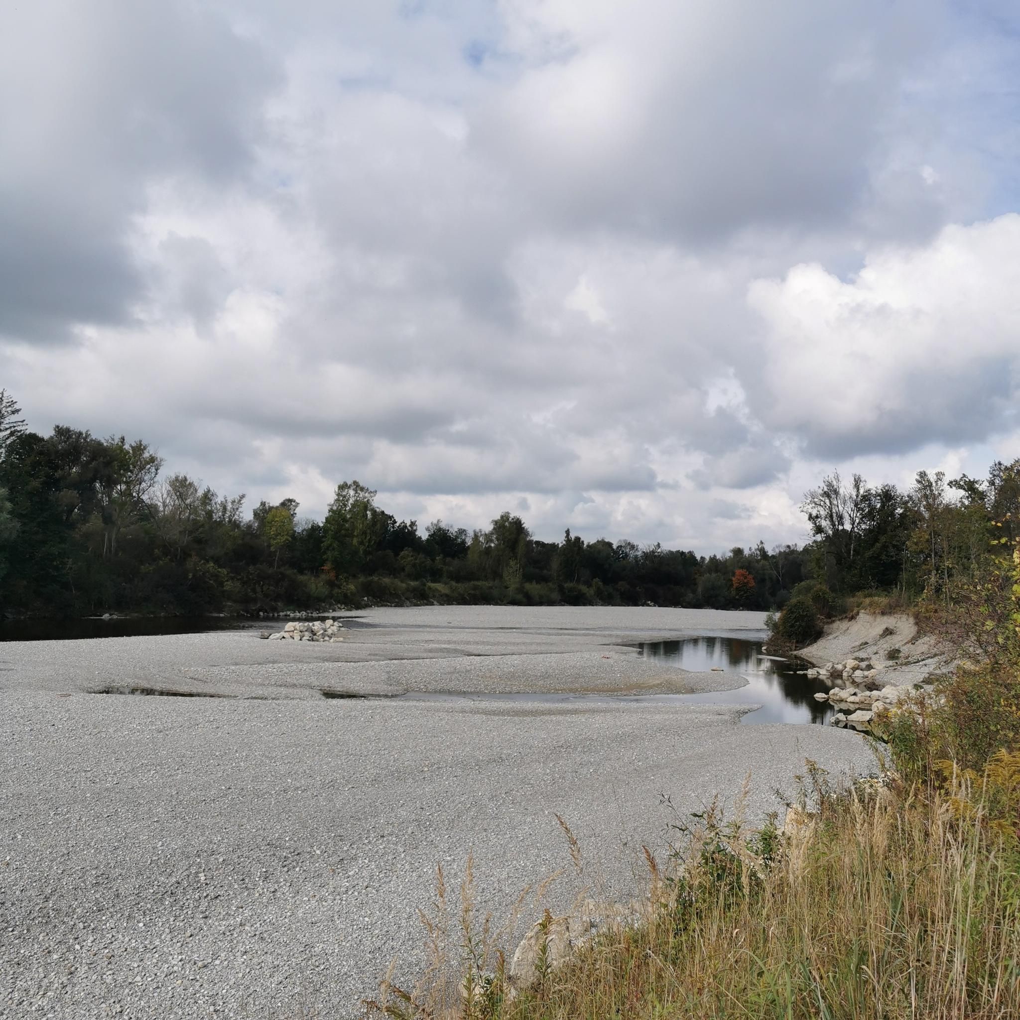
Lech의 수량에 따라 Gersthofen 제방 북쪽의 "강"은 어도 통과 장치를 통해 흐르는 물로만 공급되며, 물은 주로 Lech 운하로 흘러 들어갑니다.😒

번역: Google

0

0

The LEW also offers its own tours for larger groups and upon reservation.

번역: Google

0

0

Nice mini golf course nearby

번역: Google

0

0

A very good place to stop for a bite to eat. However, it's only open Monday to Thursday.

번역: Google

0

0

The ride is more leisurely here than on the boring bike path. There's also plenty of nature and wildlife to see. The Sander Lakes invite you to take a break. Paved throughout.

번역: Google

0

0

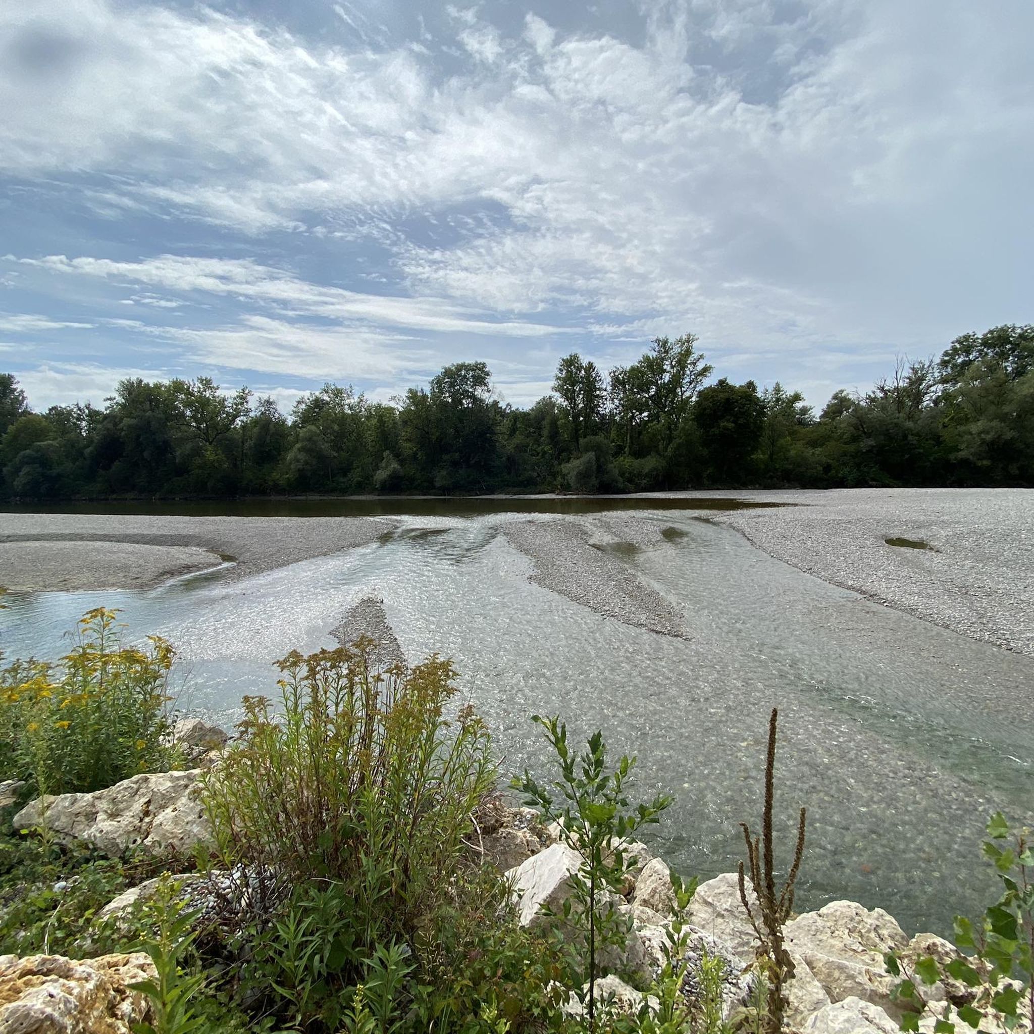
The Lech is a right tributary of the Danube. The 256 km long river originates in Vorarlberg in the Hochtannberg region at the confluence of the Spullerbach and Formarinbach streams in the Tannläger valley. It flows through Tyrol and southern Bavaria, where it empties into the Danube. Shortly before the Austrian-German border, it joins the Vils river, forms the artificial Lechfall near Füssen, and crosses Swabia and Upper Bavaria on its way. The largest cities on the Lech are Landsberg and Augsburg; in this city, it receives its largest tributary, the Wertach. The river empties into the Danube near Marxheim. Source: Wikipedia

번역: Google

1

0

The Lech is a right tributary of the Danube. The 256 km long river originates in Vorarlberg in the Hochtannberg region at the confluence of the Spullerbach and Formarinbach streams in the Tannläger valley. It flows through Tyrol and southern Bavaria, where it empties into the Danube. Shortly before the Austrian-German border, it joins the Vils river, forms the artificial Lechfall near Füssen, and crosses Swabia and Upper Bavaria on its way. The largest cities on the Lech are Landsberg and Augsburg; in this city, it receives its largest tributary, the Wertach. The river empties into the Danube near Marxheim. Source: Wikipedia

번역: Google

2

0

The Via Claudia Augusta is the oldest Roman road in the Bavarian Alpine foothills. The Via Claudia Augusta was one of the most important Roman roads connecting northern Italy with southern Germany. Even in the time of the Roman Emperor Claudius, it was used to cross the Alps by wagon. To develop the new province, later called Raetia, the route from Feltria/Feltre via Tridentum (Trento) and the Reschen Pass, the Upper Inn Valley, and the Fern Pass to the Lech River was already being expanded. The road was finally completed, made accessible to wagons throughout, renovated, and extended to the Danube under Emperor Claudius. In the first two centuries AD, the Via Claudia Augusta was the most important connection between the Adriatic Sea, the Po Valley, and the western Alpine foothills. The road was of particular importance for the Roman imperial postal service. As usual, it was monitored by the Benefiziarii, a traffic police force composed of legionnaires assigned to ensure the maintenance of the road and the safety of its users. Over the years, a vibrant infrastructure developed along the road: inns and horse-changing stations (mansiones, mutationes) were established, some of which eventually grew into towns. Source: Wikipedia Unfortunately, the route of the Via Claudia in the Stettenhofen – Langweid area can no longer be reconstructed. The Lech River, which once had the ability to damage it with its rapid and unhindered flow, is likely responsible for the largely destroyed route in this area. Source and information: https://www.roemerstrasse-via-claudia.de/die-via-claudia-bei-langweid

번역: Google

3

0

렐링 주변에서 가장 인기 있는 경로

렐링 로드 사이클링 경로

렐링 주변에서 가장 인기 있는 명소

Places to see

Store rating

komoot 모바일 앱으로 영감을 받아보세요

무료 komoot 계정로 끝없는 야외 모험을 손쉽게 찾고, 맞춤 설정하며 길안내할 수 있어요.

또는

지금 komoot에 가입하세요

Store rating

더 살펴보기

다른 지역의 최고의 자전거 경로를 살펴보세요.

머링아이하흐바이트만제키스Lechauwald Bei Unterbergen애핑슈타인도르프포트메스쿠바흐슈미헨Derchinger Forst대담에인들링오버그리스바흐머칭토텐바이스인헨호펜리에드Landmannsdorfer ForstEurasburger Forst만디초시쉴트베르크아델츠하우젠홀렌바흐Bernbacher WaldSchiltberger ForstSpitalwald프리드베르거 바거제실렌바흐

근처 어드벤처 가이드

토텐바이스 즐길거리

background

새로운 정복을 위한 준비를 하세요

무료로 가입하기

탐험하기
경로경로 플래너기능하이킹MTB 트레일로드 사이클링 경로바이크패킹사이트맵
앱 다운로드
소셜 미디어에서 팔로우하기

© komoot GmbH

개인 정보 보호 정책