모토라 최고의 워킹 & 하이킹 경로
4.5
(706)
2,983
등산객
15
하이킹
정확한 경로를 찾는 것이 때로는 어렵지만 모토라에서 하이킹을 하면 다양한 경치를 마음껏 감상할 수 있답니다. 모토라에서 가장 멋진 하이킹과 워킹 중에서 마음에 드는 활동을 시작해보세요.
마지막 업데이트: 10월 11, 2026
4.5
(15)
50
등산객
24.2km
06:41
410m
410m
어려운 하이킹. 우수한 체력 필요. 실력과 관계없이 누구나 쉽게 갈 수 있는 길.
4.3
(11)
17
등산객
12.5km
03:29
230m
230m
보통 하이킹. 좋은 체력 필요. 실력과 관계없이 누구나 쉽게 갈 수 있는 길.

5.0
(3)
4
등산객
13.1km
03:37
230m
230m
보통 하이킹. 좋은 체력 필요. 실력과 관계없이 누구나 쉽게 갈 수 있는 길.
5.0
(4)
9
등산객
7.73km
02:11
160m
160m
보통 하이킹. 좋은 체력 필요. 실력과 관계없이 누구나 쉽게 갈 수 있는 길.
4.0
(2)
7
등산객
7.46km
02:01
100m
100m
보통 하이킹. 좋은 체력 필요. 실력과 관계없이 누구나 쉽게 갈 수 있는 길.
더 다양한 경로와 다른 탐험가들의 추천을 살펴보세요.
이미 komoot 계정이 있나요?
투어 추천은 다른 사람들이 komoot에서 완료한 수천 개의 활동을 바탕으로 구성되어 있습니다.
오늘 무료 계정으로 시작하세요
다음 모험이 기다리고 있어요.

커뮤니티 팁

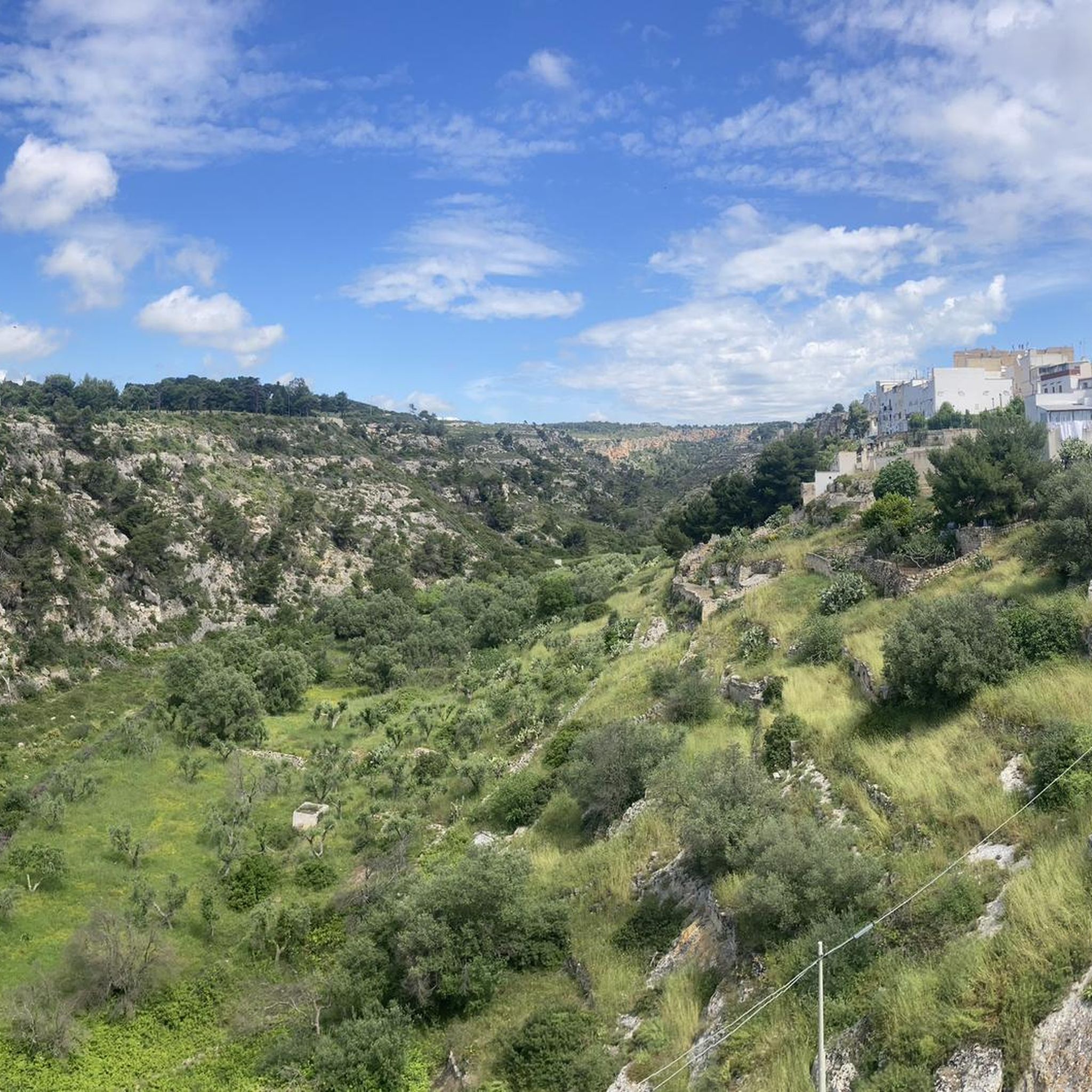
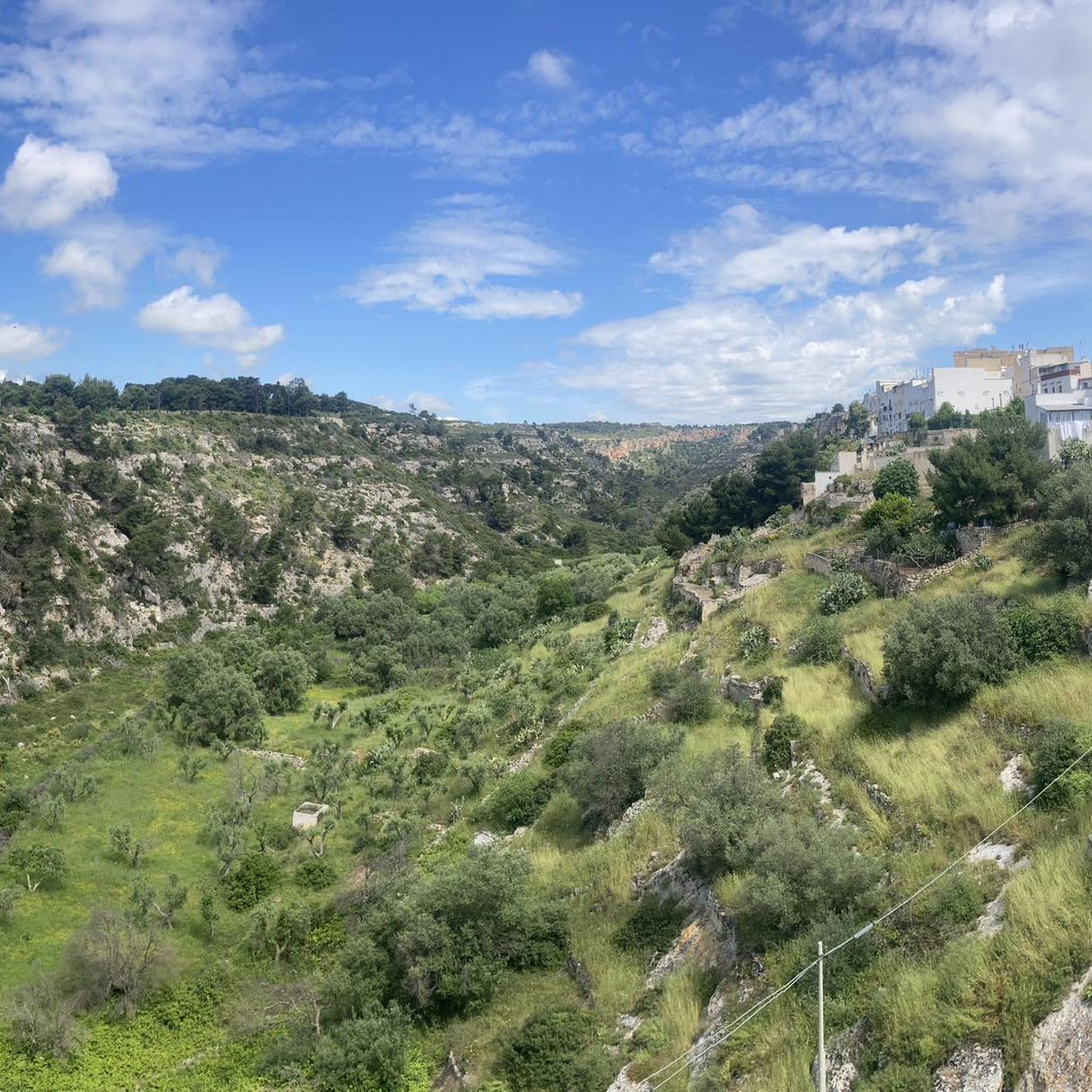
Situated at the top of a hill to the north west of Taranto and Massafra is the town of Mottola, often referred to as the 'Ionian Spy' due to its geographical position. At 1270ft above sea level it is visible for miles around. Ancient remains were discovered in the area at the turn of the 20th Century, indicating significant Bronze Age settlement on the site of the current town. The altitude of the old town's narrow winding streets means that spectacular views of the Gulf of Taranto appear through gaps in the buildings. The centre of the old town is home to several churches, including the 12th Century Chiesa Matrice, as well as partial remains of 600 BC Greek walls.
0
0
The Church of Sant'Angelo, the only rock church of Italy to be arranged on two floors.
0
0
The castle stands on the highest point of the town, in a strategic position to control the surrounding territory. From its summit you can observe the territory at 360 degrees up to the mountains of Sila (Calabria). There is a relationship of continuity between the houses dug into the ravine and the castle, whose construction probably began in the first half of the 16th century by the Domini Roberti family for the defense of the hamlet of Palagianello , finished, but not completely, in the 18th century under the rule of the Caracciolo. The castle, which has a massive quadrangular plan with a large central courtyard , equipped with four towers at the external corners, has all the defensive structural characteristics of the 16th century fortresses . The current entrance to the castle is located on the south side, while originally it was located to the west and was accessed via a drawbridge located over a moat, still existing today, which runs along the entire west side and part of the north side. The drawbridge has been replaced by a brick bridge with two arches. On the lower floor there are the warehouses and stables while on the upper floor there are the rooms that were used as the feudal lord's residence; in correspondence with the entrance , at the end of the staircase that leads to the upper floor there is a large hall for representative meetings with a vaulted ceiling, supported by apse arches, on which the family coat of arms is frescoed. In a room on the ground floor there is a trap door that leads to a secret passage that flows into the ravine of Palagianello. In 1874 the old entrance was closed to create a chapel in honor of the Virgin of the Seven Sorrows designed by the architect Gabriele Califano , commissioned by Count Antonio Stella Caracciolo . The Chapel was given in perpetual use by Count Caracciolo to the Confraternity of the Addolorata.
0
0
Entirely dug in tuff, the chapel entitled to the Madonna delle Grazie is the heart of the namesake sanctuary lying on the ravine in Palagianello.
0
0
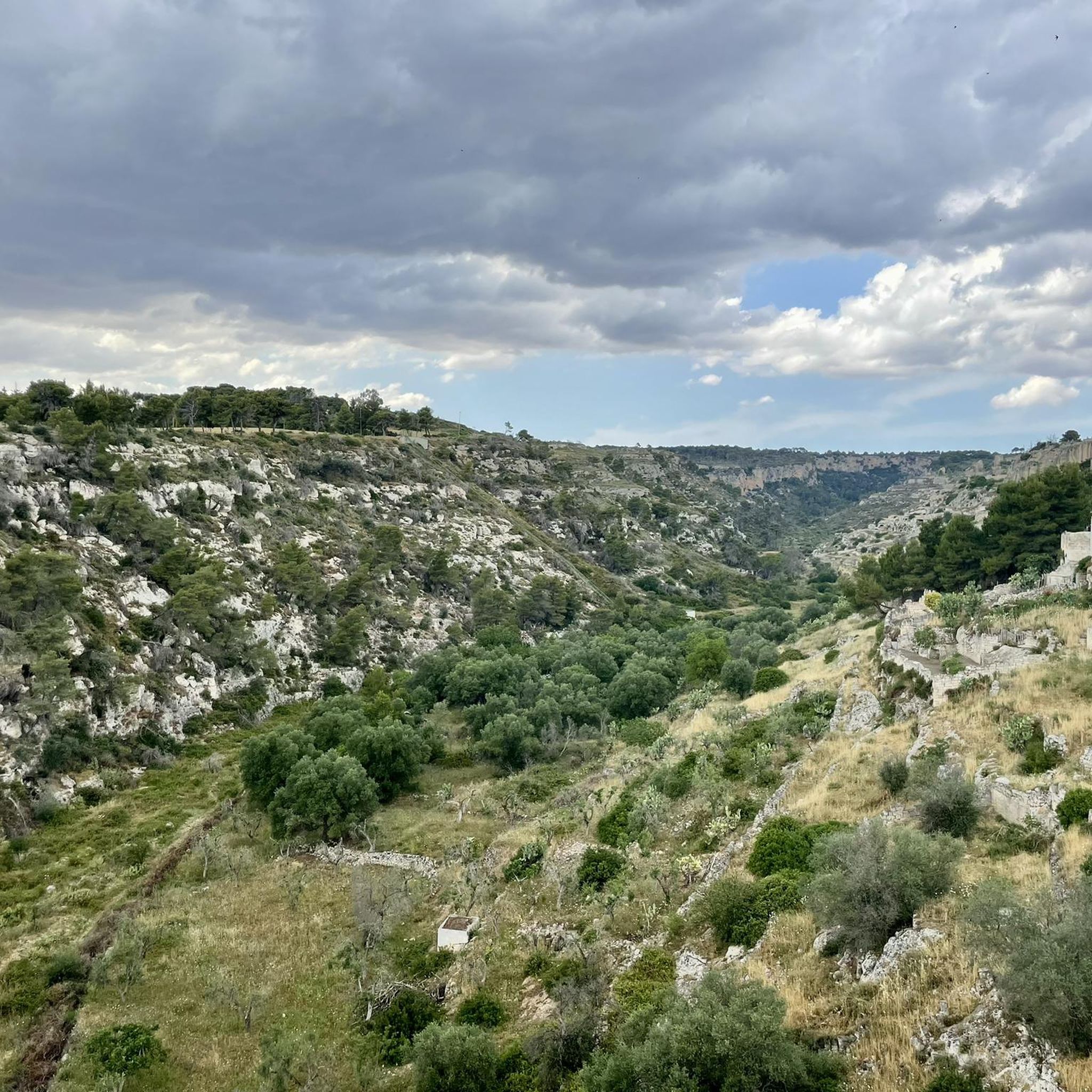
Towards the end of the 5th century AD when the Roman Empire came under attack from the Goths and other Germanic tribes attacking Rome, the open plains were no longer safe. And it was then that people sought refuge in the relatively safer ravines. The soft, limestone bedrock made it easy to cut into the sides of the ravines to create places to live that were easier to protect against the Goths to begin with, but also the Saracens later. Over the turbulent centuries of the Middle Ages that followed the fall of the Western Roman Empire fully developed communities emerged in these ravines. These early Medieval troglodytes ‘built’ surprisingly complex villages simply by cutting into the rock at different levels. Besides creating domestic spaces – Casa Grotto (cave house), they also cut churches into the sides of the ravines. They also cut channels and cisterns into the rock to supply water.
0
0

functioning AQP fountain, near the Carmine church
1
0

Centennial steam locomotive of the State Railways located near the old railway station of Palagianello, on the Bari-Taranto line.
1
0

between May and June it is possible to admire this spectacle of nature. at this point there is a greater intensity of the phenomenon
0
0
모토라 주변에서 가장 인기 있는 명소


더 살펴보기
다른 지역의 최고의 하이킹를 살펴보세요.
