컴브레 비에하 최고의 라이딩 경로
4.5
(135)
3,223
자전거 타는 사람
78
라이딩
컴브레 비에하 최고의 로드 사이클링 경로를 찾으시나요? 그렇다면 아름다운 이슬라 데 라 팔마 자연공원 주변의 라이딩 컬렉션을 아래에서 살펴본 후, 컴브레 비에하의 여러 가지 모습을 직접 만나보세요.
마지막 업데이트: 9월 8, 2026
4.3
(6)
75
자전거 타는 사람
53.4km
03:20
1,380m
1,380m
어려운 도로 자전거 타기. 우수한 체력 필요. 지면 대부분이 잘 포장되어 있고 라이딩하기 쉬움.
4.7
(3)
107
자전거 타는 사람
65.0km
03:08
940m
940m
어려운 도로 자전거 타기. 우수한 체력 필요. 지면 대부분이 잘 포장되어 있고 라이딩하기 쉬움.

5.0
(2)
51
자전거 타는 사람
41.1km
02:32
1,080m
1,080m
어려운 도로 자전거 타기. 우수한 체력 필요. 지면 대부분이 잘 포장되어 있고 라이딩하기 쉬움.
22
자전거 타는 사람
138km
09:05
4,270m
4,270m
어려운 도로 자전거 타기. 우수한 체력 필요. 투어 중 라이딩하기 어려운 비포장 구간이 있을 수 있음.
24
자전거 타는 사람
43.5km
02:05
590m
590m
보통 도로 자전거 타기. 좋은 체력 필요. 지면 대부분이 잘 포장되어 있고 라이딩하기 쉬움.
더 다양한 경로와 다른 탐험가들의 추천을 살펴보세요.
이미 komoot 계정이 있나요?
투어 추천은 다른 사람들이 komoot에서 완료한 수천 개의 활동을 바탕으로 구성되어 있습니다.
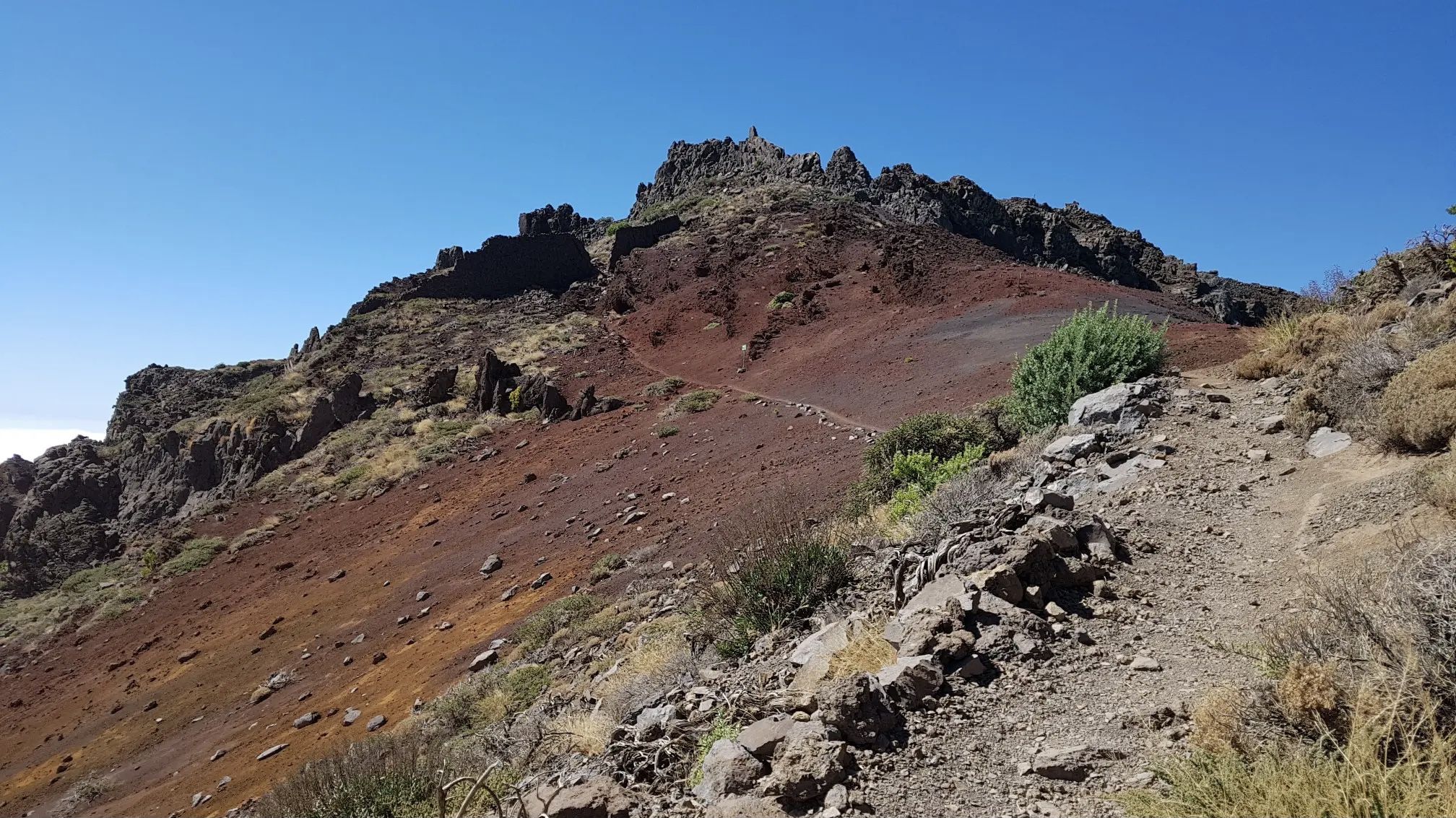
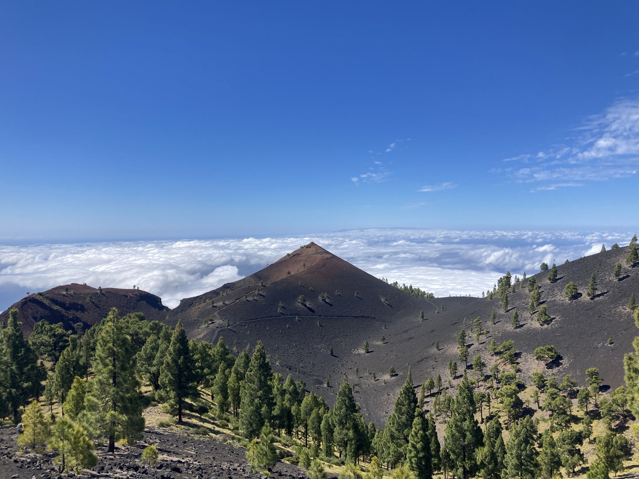
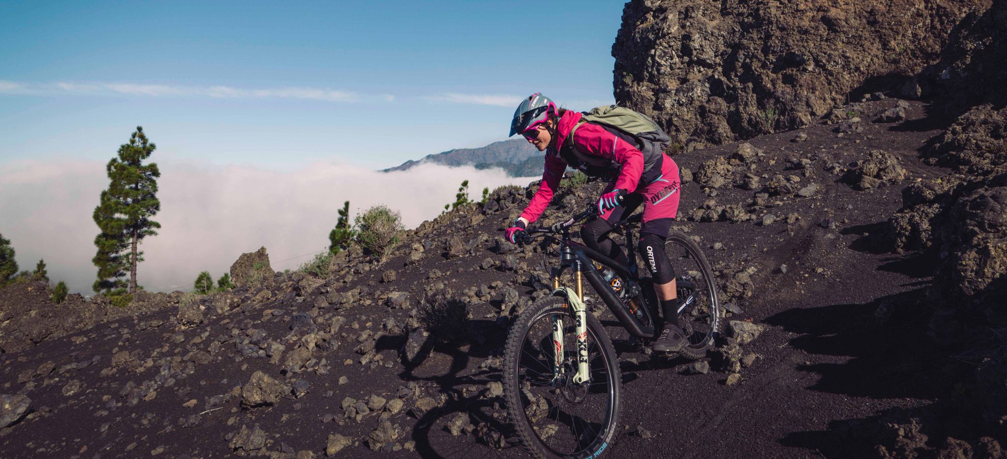
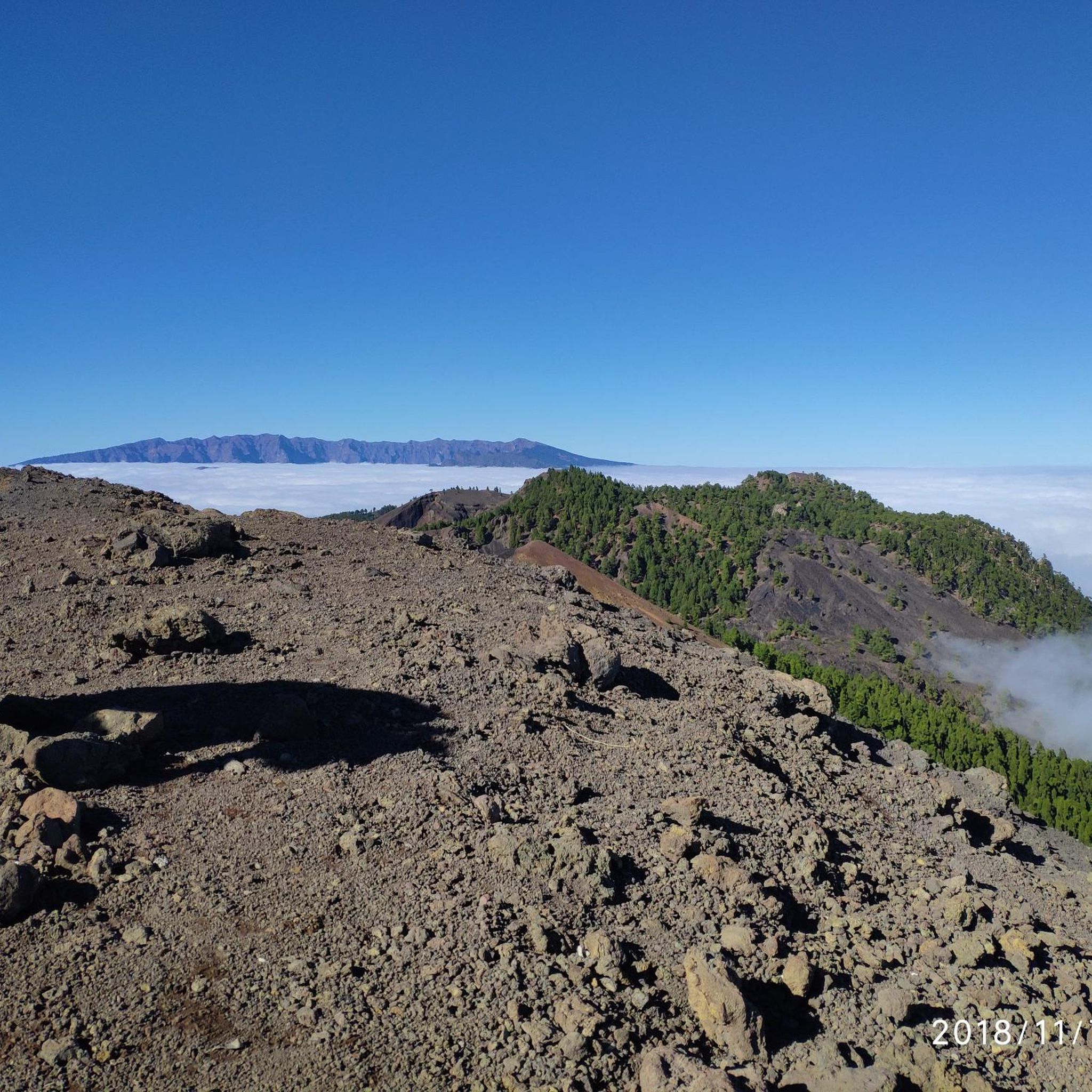



커뮤니티 팁

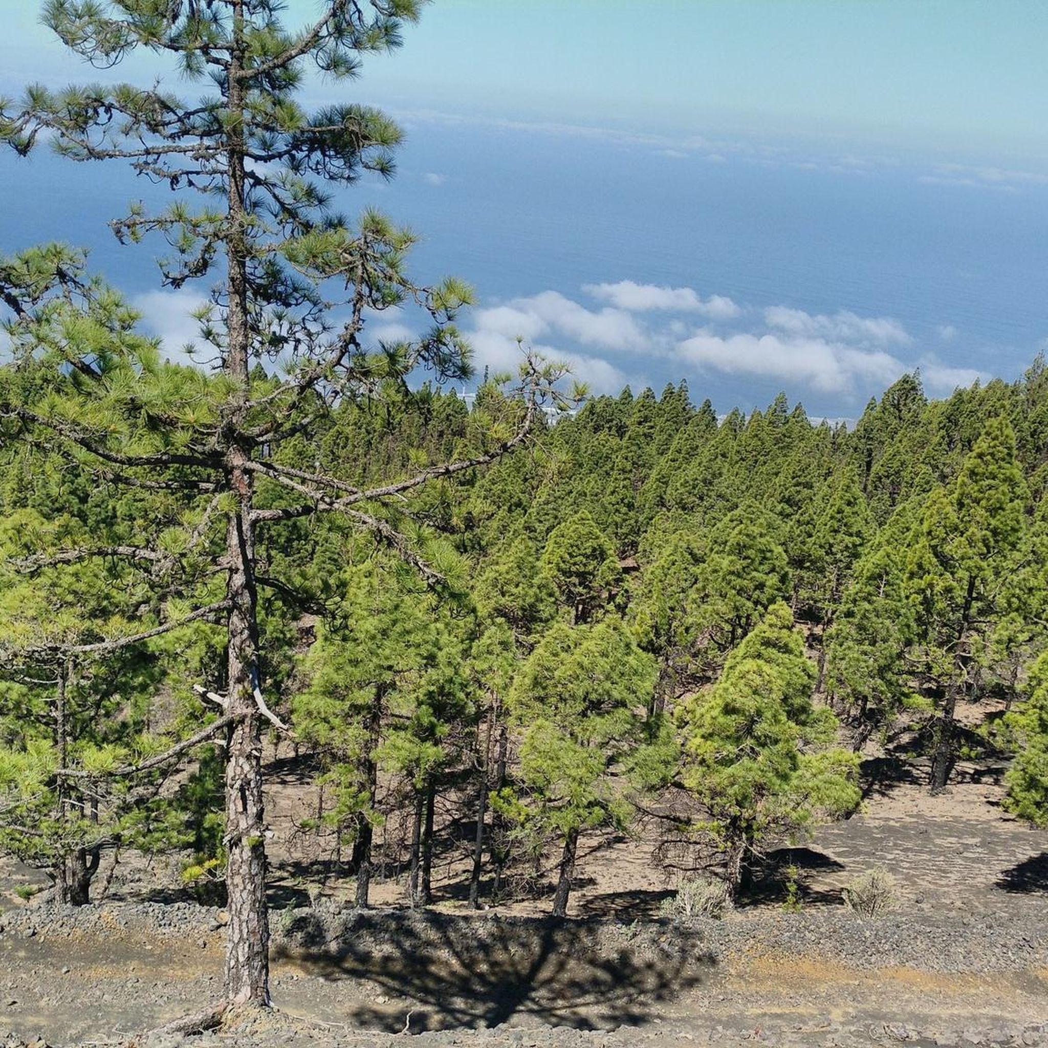
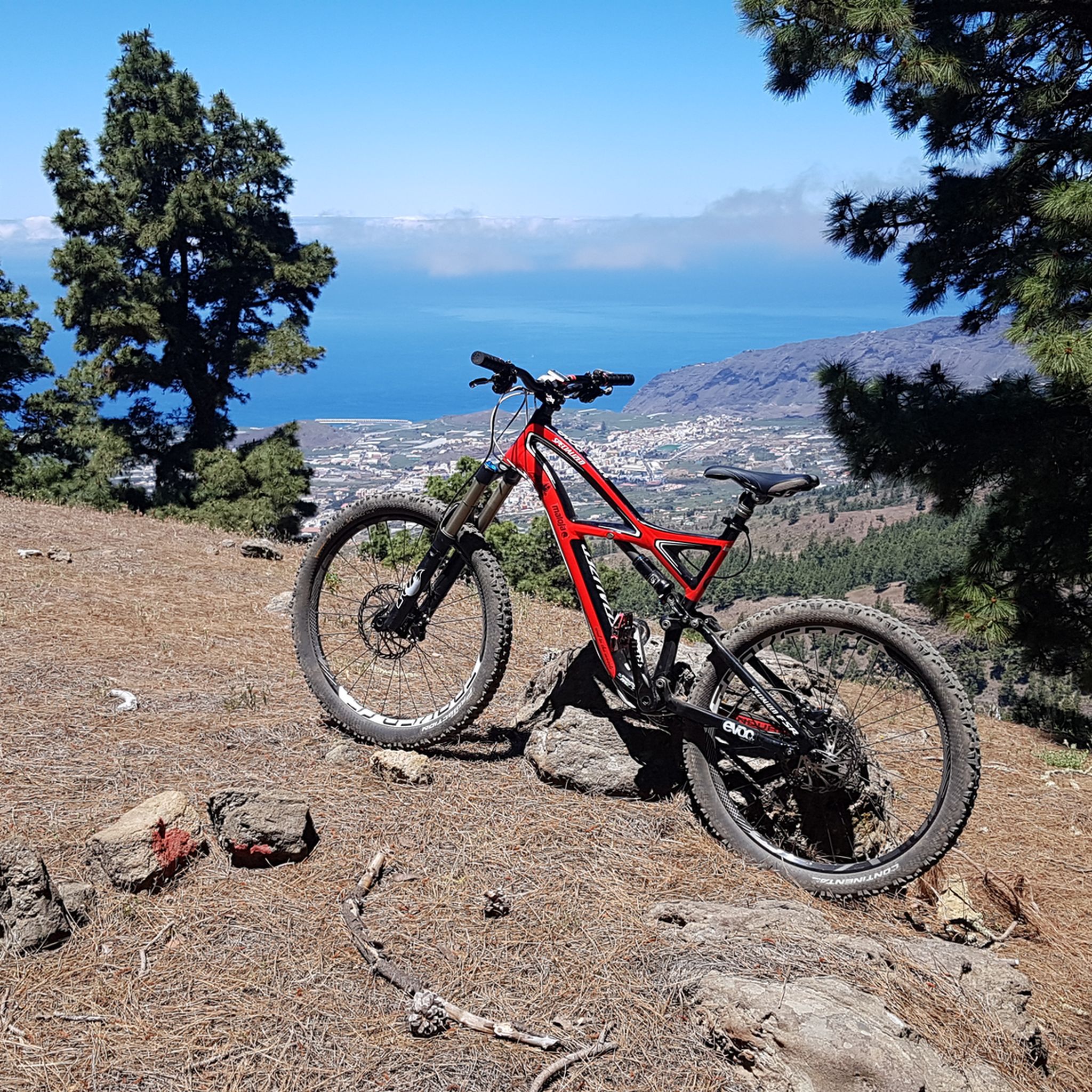
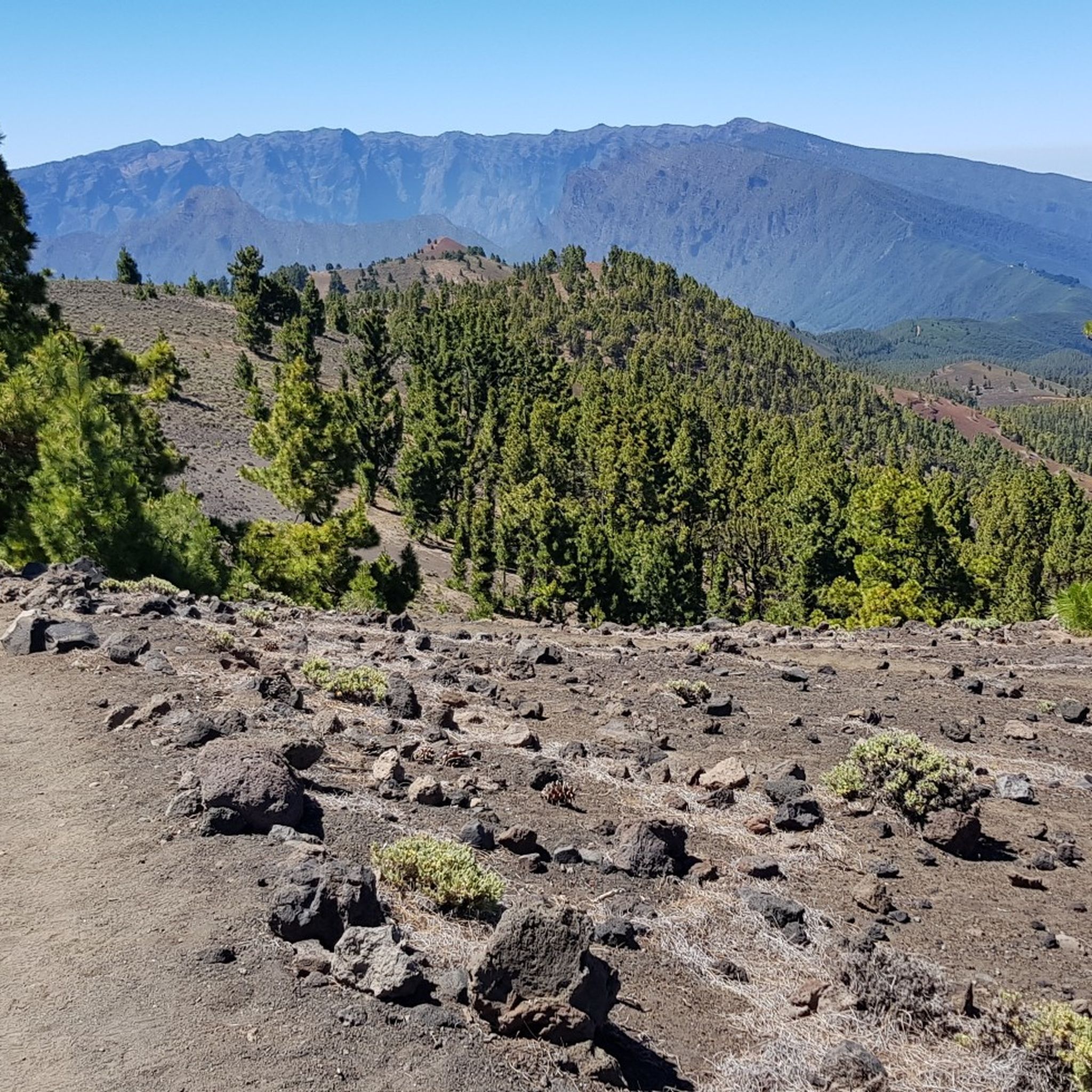
Unfortunately I didn't take any photos, but you are really rewarded for your efforts on this tour. The sea, the volcanoes and the lava fields are your constant companions. The asphalt is good, there is little traffic and if you want you can have something to eat in one of the kiosks with a fantastic view. The climb to Fuencaliente is, as you would expect, tough.
0
0

Beautiful view and nice place for a hiking break
1
0

This section is quite boring. But you‘re paying your price for the spectacular descent to El Faro.
0
0

What is really striking is how respectful the drivers are. This generally applies to the island. Overtaking is never too close or dangerous. Traffic is also generally manageable.
1
0
Great route with really little traffic. In mid-March an almond tree blooms here and there on the side of the road.
1
0

Los Canarios is the capital of the municipality of Fuencaliente, on the island of La Palma (Canary Islands, Spain). It is located at 700 m above sea level. n. m., in a hole surrounded by volcanic cones covered with pine forests. The population center is more concentrated on both sides of the main road, and outside it it is more spread out. The fact that it is far from other population centers, that it is the southernmost town on the island, and that it is almost immersed in dense pine forests, gives it an aspect of isolation. At a certain time, the cultivation of cereals, fruit trees and vineyards was important in its surroundings. Nowadays, the vineyard is still important, plus the small self-sufficiency orchards. https://www.youtube.com/watch?v=sfeasyaLpV8
0
0
On clear days you can see Teide, El Hierro and La Gomera, you can't miss it https://www.youtube.com/watch?v=UqwZv4OZQ8k
1
0
컴브레 비에하에서 가장 인기 있는 명소


더 살펴보기
다른 지역의 최고의 로드 사이클링 경로를 살펴보세요.
