경로

플래너

기능

업데이트

App

로그인 또는 가입

앱 다운로드

로그인 또는 가입

경로
MTB 트레일
스페인
카탈루냐
지로나
잔물결

캅살레스 델 테르 이 델 프레세르

경로
MTB 트레일
스페인
카탈루냐
지로나
잔물결

캅살레스 델 테르 이 델 프레세르

캅살레스 델 테르 이 델 프레세르 최고의 MTB 라이딩 경로

4.6

(134)

2,344

자전거 타는 사람

133

라이딩

캅살레스 델 테르 이 델 프레세르 최고의 산악자전거 라이딩을 찾으시나요? 그렇다면 아름다운 잔물결 자연공원 주변의 MTB 라이딩 컬렉션을 아래에서 살펴본 후, 캅살레스 델 테르 이 델 프레세르의 여러 가지 모습을 직접 만나보세요.

마지막 업데이트: 7월 12, 2026

5.0

(3)

85

자전거 타는 사람

#1.

Setcases에서 출발하는 Collado Fonda – 캄프로동의 퐁 누 다리 순환 코스

46.0km

03:33

1,090m

1,090m

어려운 산악 자전거 타기. 우수한 체력 필요. 실력과 관계없이 누구나 갈 수 있음.

기기에서 길안내

휴대폰으로 전송

저장

어려움

어려운 산악 자전거 타기. 우수한 체력 필요. 뛰어난 라이딩 실력이 필요함.

어려움
guide_signup
저희가 komoot 모바일 앱로 길을 안내해 드리겠습니다.
무료 komoot 계정로 끝없는 야외 모험을 손쉽게 찾고, 맞춤 설정하며 길안내할 수 있어요.

무료 회원 가입

어려운 산악 자전거 타기. 우수한 체력 필요. 실력과 관계없이 누구나 갈 수 있음.

어려움

어려운 산악 자전거 타기. 우수한 체력 필요. 뛰어난 라이딩 실력이 필요함. 투어 중 자전거를 끌고 가야 하는 구간이 있을 수 있음.

어려움

보통 산악 자전거 타기. 좋은 체력 필요. 뛰어난 라이딩 실력이 필요함.

보통
무료 회원 가입 후 캅살레스 델 테르 이 델 프레세르 라이딩 경로를 129개 더 확인하세요

더 다양한 경로와 다른 탐험가들의 추천을 살펴보세요.

무료 회원 가입

이미 komoot 계정이 있나요?

투어 추천은 다른 사람들이 komoot에서 완료한 수천 개의 활동을 바탕으로 구성되어 있습니다.

오늘 무료 계정으로 시작하세요

다음 모험이 기다리고 있어요.

로그인 또는 가입하기

캅살레스 델 테르 이 델 프레세르 주변 인기 장소

피레네 트레일 along - GR 11 카탈로니아 및 안도라

캅살레스 델 테르 이 델 프레세르 하이킹

캅살레스 델 테르 이 델 프레세르 러닝 트레일

캅살레스 델 테르 이 델 프레세르 로드 사이클링 경로

캅살레스 델 테르 이 델 프레세르 사이클링

캅살레스 델 테르 이 델 프레세르 그래블 라이딩

캅살레스 델 테르 이 델 프레세르 등산

캅살레스 델 테르 이 델 프레세르의 다른 모험

피레네 트레일 along - GR 11 카탈로니아 및 안도라

하이킹 컬렉션 에 의해

Sofía_Ibáñez

커뮤니티 팁

Katharina Siegel
5월 31, 2026, Vallter 2000 Mountain Pass

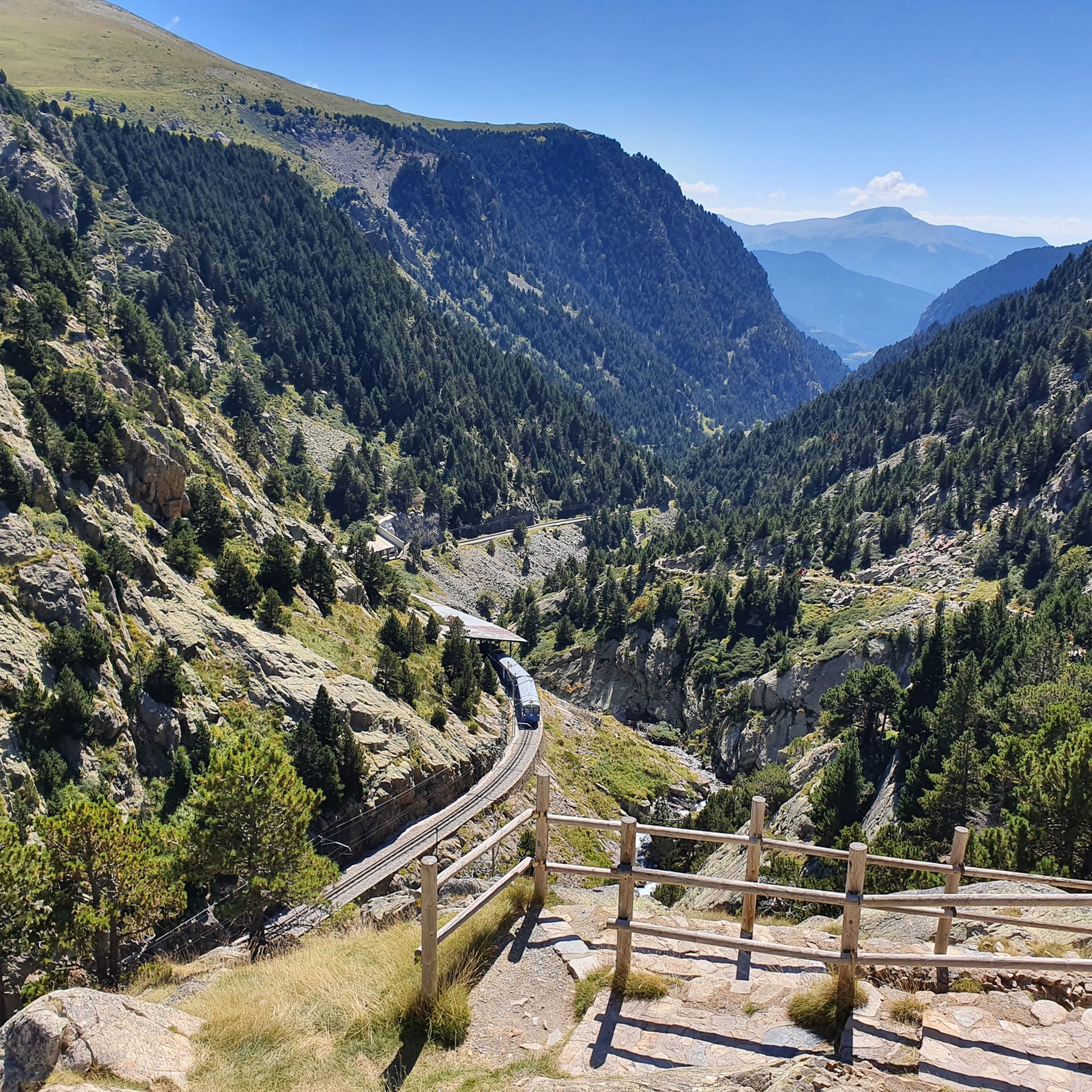
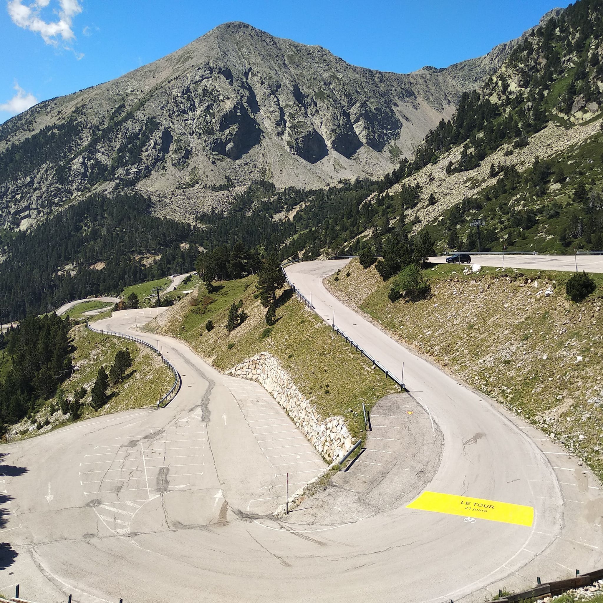
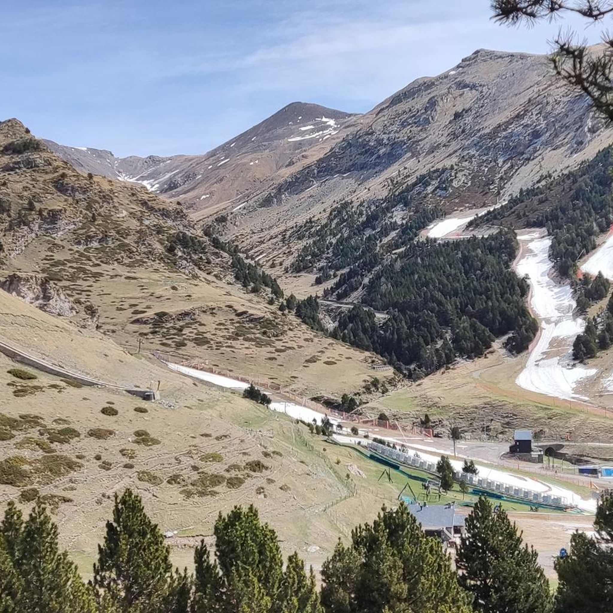
프랑스와의 국경에 있는 리폴레스의 피레네 산맥 중심부에 위치한 이 스키 리조트는 자전거로 아스팔트 도로를 통해 도달할 수 있는 가장 높은 산악 패스 중 하나이기도 합니다. 이 스키 리조트는 최근 2019년에 볼타 아 카탈루냐의 피니시 라인으로 여러 번 사용되었습니다.

번역: Google

1

0

계곡의 정말 멋진 전망

번역: Google

0

0

Vallter 2000 Descent Tip The descent from Vallter 2000 is steep, winding, and technical—especially challenging when you’re carrying a full bikepacking load. Make sure your brakes are strong and responsive before you start down. 🛑 Use both front and rear brakes smoothly to control your speed and avoid overheating. Take corners wide and slow down early, as some sections have sharp bends and rough patches. 💡 Pro tip: If your bikepacking setup includes heavy gear, consider breaking the descent into manageable sections with short breaks to keep your brakes cool and maintain control.

0

0

Nico P
10월 6, 2024, Coll d'Arès

A pass that is not too difficult to climb and offers a magnificent landscape when crossing the border at the summit.

번역: Google

0

0

It is a mountain pass located at an altitude of 1,513 metres, on the border between France and Spain, connecting Vallespir (France) with Ripollès (Catalonia, Spain). It is a historic and strategic place, used for centuries as a trade route and also during the Retirada (1939), when thousands of refugees crossed the pass fleeing the Spanish Civil War. Today, it is a popular hiking spot and offers spectacular panoramic views of the Pyrenees.

번역: Google

6

0

The Chapel of Saint Margaret, located near the Ares Pass, served as a refuge in 1939 for men and women fleeing the violence of Franco's troops. This shelter, a few hundred meters from the border, saved many lives. In the text, Artur Bladé i Desumvila expresses his gratitude for this abandoned chapel, which offered protection during a difficult night, saving in particular about twenty wounded people, and allowing the organization of their transport in extremely precarious conditions.

번역: Google

7

0

Forget about reaching the top on your e-bike, you'll have to climb on foot if you don't want to miss the 360º view Roc de la Mort de l'Escola is a mountain located near the town of Corsavy, in the Vallespir region of France. Although it is less known than other mountains in the region, its name already evokes a certain mystery and interest, as it can be translated as "Rock of Death of the Escort". This peculiar name has given rise to several local interpretations and legends. Only in the summer months, from August 23 onwards, the weather changes rapidly and in some cases dangerously. https://www.youtube.com/watch?v=AueQWN_e_VE

번역: Google

0

0

Puig de la Clapa is a mountain reaching an altitude of 1,650 metres, located near Coll d'Ares, in the Eastern Pyrenees, on the border between France and Spain. Coll d'Ares, at an altitude of 1,513 metres, is an important mountain pass connecting Vallespir (France) to Ripollès (Spain). The area is popular for hiking and offers panoramic views of both the French and Spanish sides, being an area rich in natural landscapes and routes that allow you to explore the Pyrenees.

번역: Google

1

0

캅살레스 델 테르 이 델 프레세르에서 가장 인기 있는 경로

캅살레스 델 테르 이 델 프레세르 하이킹

캅살레스 델 테르 이 델 프레세르에서 가장 인기 있는 명소

Places to see

Store rating

komoot 모바일 앱으로 영감을 받아보세요

무료 komoot 계정로 끝없는 야외 모험을 손쉽게 찾고, 맞춤 설정하며 길안내할 수 있어요.

또는

지금 komoot에 가입하세요

Store rating

더 살펴보기

다른 지역의 최고의 MTB 트레일를 살펴보세요.

리플캄프로돈오가사리베 드 프레제르라나르산 조안 드 레 아바데스캄데바놀발포고나 데 리폴레스파르딘곰브렌산트 파우 데 세구리몰로캄펠레스퀘랄브Parc Natural de les Capçaleres del Ter i del Freser세트케이스덜 손실빌라롱가 데 테르토스플라놀

근처 어드벤처 가이드

Parc Natural de les Capçaleres del Ter i del Freser 즐길거리

background

새로운 정복을 위한 준비를 하세요

무료로 가입하기

탐험하기
경로경로 플래너기능하이킹MTB 트레일로드 사이클링 경로바이크패킹사이트맵
앱 다운로드
소셜 미디어에서 팔로우하기

© komoot GmbH

개인 정보 보호 정책