20의 힐데스하이머 발트가지 명소 & 주요 장소
힐데스하이머 발트에는 둘러볼 만한 장소가 많답니다. 하이킹 또는 사이클링을 좋아한다면 힐데스하이머 발트에 숨겨진 20
가지 보석을 만날 수 있을 거예요. 이 지역의 주요 명소를 살펴보면서 다음 모험을 계획해보세요.
마지막 업데이트: 9월 25, 2026


이런 장소를 발견하려면 지금 가입하세요
최고의 싱글 트랙, 봉우리 및 다양한 흥미로운 야외 장소에 대한 추천을 받아보세요.
Beusterburg 신석기 시대 토성
하이라이트 • 역사적 장소
번역자 Google •
팁에 의해
렌슈티크 트레일: 힐데스하임에서 빈첸부르크까지
하이라이트 (구간) • 트레일
From Wernershöhe we continue to the Adenstedter Berg. Partly on Waldrandweg with beautiful views. Past the old forest sports field of Adenstedt, it goes along the edge of the forest. Above Irmenseul we can make a detour to the "Irminsäule". Back to the race track through the beautiful southern Sackwald on the Burkhardtshöhe over to the ruin Winzenburg. Here, too, we can make a detour over the Samesbuche to Hohe Schanze.
Then we hike back to Samesbuche turn right onto the road. After 300 meters turn right on the road. After 600 meters we reach the trail parking lot in the Ohlenburg on the L 488 between Lamspringe and Winzenburg.
Of course, we can also start the hike here and hike over the Rennstieg> Blaue Hödeken <to the cathedral in Hildesheim.
In the Southern Sackwald there are other historic castle ramparts. They are: "Die Tiebenburg" "The Wall at the Gartenkamp" "The Wall at the Dörhai" "The Ohlenburg" "The Läseckenburg" and "The Burg Hausfreden" All Burgwallanlagen are easy to reach from Winzenburg. Further information can be found at: verkehrsverein-freden.de freden.de suedlicher-sackwald.eu hi-reg.de
번역자 Google •
팁에 의해

콘라디 타워
하이라이트 • 기념물
The chronicle of the nearby village Mahlerten deals with the building and its creator on three sides. The introductory words show that this building has always caused astonishment:
The purpose of this building was at any time and remained purely speculative until now, especially as the location of a rather random, almost hidden spot was chosen. The design of the tower does not betray a secure indication.
However, much is known about the builder or donor of the tower: Georg Friedrich Ludwig Conradi came to Mahlerten at the age of fifty, had studied religious studies, but was apparently not entrusted with an ecclesiastical ministry because of disturbed sanity. In 1859 he tried to give the church to Mahlerten a bell, which led to all sorts of complications between him and various ecclesiastical and secular institutions. In general, Conradi was probably known and accepted as a nerd in Mahlerten. The portrayals of Conradi's actions by the then Pastor Meyer trace the image of an aging man who suffered from senile ghost decline with schizophrenic features.
Furthermore, it is known about the tower that it was built between 1850 and 1860. The lore says that Conradi built it with his own hands. The quality of the construction obviously requires expert knowledge that Conradi did not possess. In the vicinity of the tower is still a collected by him pile of rocks to recognize. He used the tower and cairn as a place of worship, where he could be close to his "oak spirits," with whom he sometimes knew how to instill fear into his listeners.
In 1987, Mahler citizens rescued the tower after the municipality of Nordstemmen refused to contribute to preserving it.
번역자 Google •
팁에 의해

무료로 가입하여 힐데스하이머 발트 주변의 더 많은 명소를 발견하세요.
이미 komoot 계정이 있나요?
오늘 무료 계정으로 시작하세요
다음 모험이 기다리고 있어요.
커뮤니티 팁

A beautiful photo opportunity. The path past the tower is definitely a bit of a challenge. You can find more information under the hiking highlight of the same name.
0
0

Good information board, a small rest area is nearby, a little later you come across the remains of the ramparts.
1
0
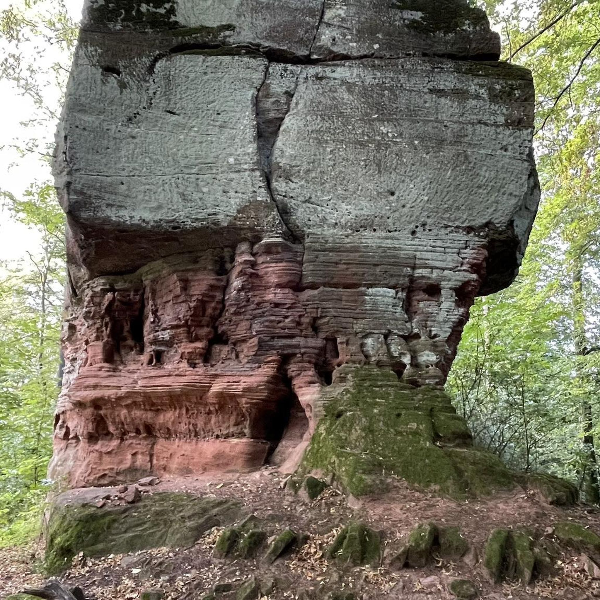
A strange building, in the middle of the forest.
3
0

Partly still clearly visible earthworks of a castle complex from the Neolithic period
2
0

I can only confirm the aggressive dog! He stood in my way a few hundred meters from the observation tower, growling and baring his teeth. Finally he ran back to the observation tower. The landlord saw me and still allowed the dog to bark at me again and circle me, growling. The landlord half-heartedly whistled back and apologized hypocritically along the lines of "Oops, how could that happen". Unbelievable, after apparently there have already been several incidents!
9
0

Trip to the past :-) The 15 hectare ramparts are estimated to be 5,000 years old. (Wikipedia) Unfortunately quite ingrown! Can only be seen reasonably well in spring, late autumn and winter! Of the former two benches and the table at the rest area, only one is left and the rest is unfortunately quite worn out!
1
0

- you have a fantastic view of the whole of Bockenemer Land - and hopefully you can soon enjoy a leisurely break with a snack or more on the wonderful terrace of the restaurant
3
0

Together with the barrows near Heyersum a little journey through time. You can also start well there. There is a sign on the spot with a map and explanations. The “castle” itself is best seen in autumn / winter, when there are no leaves on the trees, so you can see the old rings better. Otherwise there is little to see there itself, but you can practically walk through the rings and recognize the dimensions with a little imagination. There is also a table and two benches there and you can have a good snack. However, there is no view, which is a little further down, at the edge of the forest in the direction of Betheln, where you can wonderfully look into the whole of the Leinetal.
4
1


더 살펴보기
찾고 있는 하이라이트를 아직 못 찾으셨나요? 다른 지역의 주요 명소 가이드를 확인해보세요:
