노이뮐레/엘스터 최고의 MTB 라이딩 경로
4.6
(601)
1,469
자전거 타는 사람
190
라이딩
노이뮐레/엘스터에서 산악자전거 라이딩을 하면 다양한 경치를 감상할 수 있어요. 어디서 출발해야 할지 모르겠다고요? 지금부터 노이뮐레/엘스터 최고의 MTB 경로를 찾을 수 있도록 가장 멋진 라이딩 장소를 소개해드릴게요!
마지막 업데이트: 10월 18, 2026
5.0
(8)
14
자전거 타는 사람
47.6km
03:00
410m
410m
보통 산악 자전거 타기. 좋은 체력 필요. 실력과 관계없이 누구나 갈 수 있음.
12
자전거 타는 사람
37.0km
02:40
470m
470m
보통 산악 자전거 타기. 좋은 체력 필요. 뛰어난 라이딩 실력이 필요함.

5.0
(3)
11
자전거 타는 사람
17.0km
01:10
190m
180m
초급용 산악자전거 라이딩. 모든 체력 수준에 적합. 실력과 관계없이 누구나 갈 수 있음.
3.8
(6)
10
자전거 타는 사람
35.6km
02:13
280m
280m
보통 산악 자전거 타기. 좋은 체력 필요. 실력과 관계없이 누구나 갈 수 있음.
5.0
(2)
10
자전거 타는 사람
52.6km
03:45
670m
670m
보통 산악 자전거 타기. 좋은 체력 필요. 실력과 관계없이 누구나 갈 수 있음.
더 다양한 경로와 다른 탐험가들의 추천을 살펴보세요.
이미 komoot 계정이 있나요?
투어 추천은 다른 사람들이 komoot에서 완료한 수천 개의 활동을 바탕으로 구성되어 있습니다.
오늘 무료 계정으로 시작하세요
다음 모험이 기다리고 있어요.
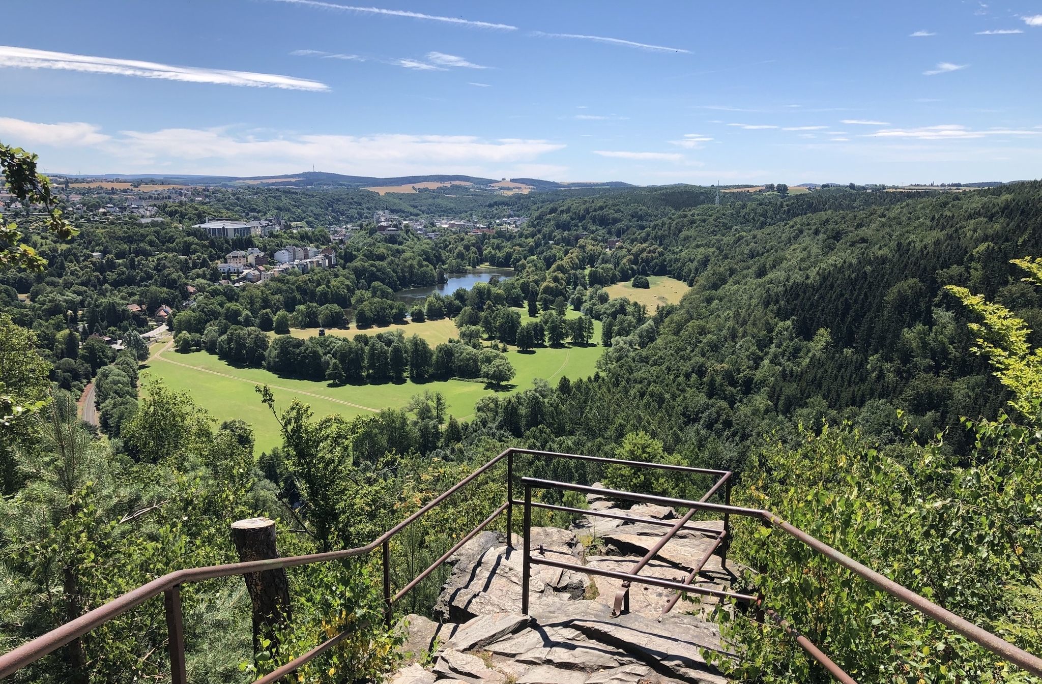


커뮤니티 팁

Beautiful picnic area in the Werdau Forest.
0
0

A beautifully designed rest area with lovely wood carvings and books.
19
0
There are some beautiful things to actively discover along the panoramic trail at Zeulenrodaer Meer 😊.
17
0

It's easy to reach on foot, and you can stroll along the river. From here, you enter the park and then continue towards Neumühle.
1
0

This is the starting point of the beautiful Elsterperlenweg (Elster Pearl Trail). The Elsterperlenweg is a circular hiking trail certified by the German Hiking Association with the "Quality Trail Wanderable Germany" seal of approval.[1] It covers 72 km[2] from the entrance of Greiz Park via Neumühle/Elster, Berga/Elster, past the Clodramühle mill, and through the municipality of Wünschendorf. After crossing the Fuchsbach valley, it reaches Großdraxdorf and continues via the Zehnmarkweg and the Reitsteig trail, offering views of the White Elster valley, past the Albersdorf reservoir to Berga. From there, it continues to Markersdorf, Untergeißendorf, and Mühlberg, before returning to Greiz, where the trail completes the loop via the Upper Castle to the northern entrance of Greiz Park. There are 1,700 trail markers and 450 signs along the route. (Source: Wikipedia)
4
1

Very nice place to take a break during a mountain bike tour.
2
0

Somehow I rode my bike along a horse trail...
0
0

Open daily from 11 a.m. with snacks and street food. Always worth a visit. Fun for all ages.
0
0
노이뮐레/엘스터 주변에서 가장 인기 있는 명소


더 살펴보기
다른 지역의 최고의 MTB 트레일를 살펴보세요.
