머튼 최고의 워킹 & 하이킹 경로
4.6
(256)
1,705
등산객
12
하이킹
정확한 경로를 찾는 것이 때로는 어렵지만 머튼에서 하이킹을 하면 다양한 경치를 마음껏 감상할 수 있답니다. 머튼에서 가장 멋진 하이킹과 워킹 중에서 마음에 드는 활동을 시작해보세요.
마지막 업데이트: 10월 11, 2026
4.8
(4)
34
등산객
2.26km
00:46
120m
120m
초급용 하이킹. 모든 체력 수준에 적합. 실력과 관계없이 누구나 쉽게 갈 수 있는 길.
4.7
(13)
75
등산객
8.25km
03:12
510m
510m
보통 하이킹. 좋은 체력 필요. 대부분 갈 수 있는 길. 미끄러지지 않게 조심해야 함.

5.0
(2)
8
등산객
18.5km
06:10
790m
790m
어려운 하이킹. 우수한 체력 필요. 대부분 갈 수 있는 길. 미끄러지지 않게 조심해야 함.
4.5
(2)
15
등산객
5.08km
02:04
310m
310m
보통 하이킹. 좋은 체력 필요. 대부분 갈 수 있는 길. 미끄러지지 않게 조심해야 함.
5.0
(3)
11
등산객
18.1km
06:23
890m
900m
어려운 하이킹. 우수한 체력 필요. 대부분 갈 수 있는 길. 미끄러지지 않게 조심해야 함.
더 다양한 경로와 다른 탐험가들의 추천을 살펴보세요.
이미 komoot 계정이 있나요?
투어 추천은 다른 사람들이 komoot에서 완료한 수천 개의 활동을 바탕으로 구성되어 있습니다.
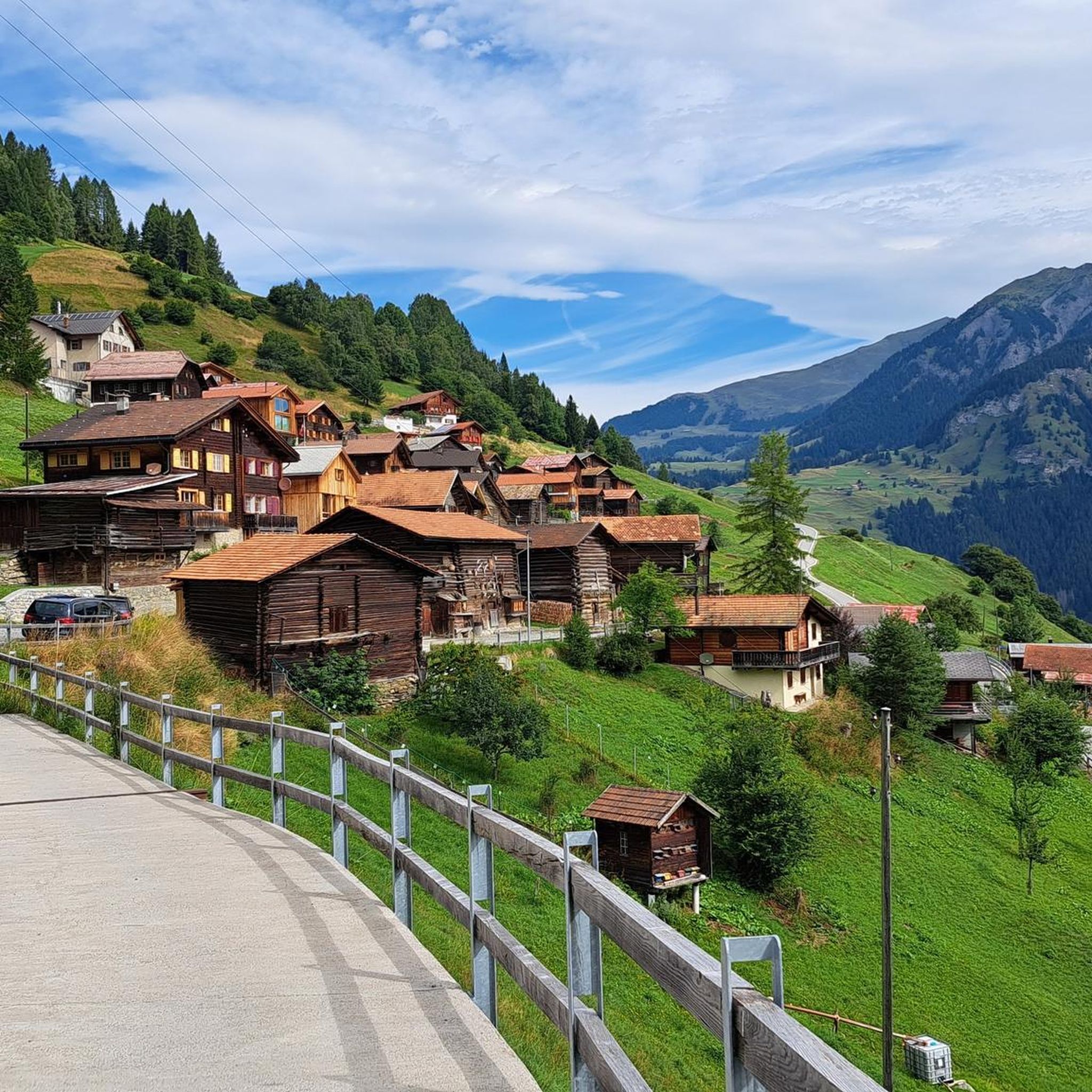
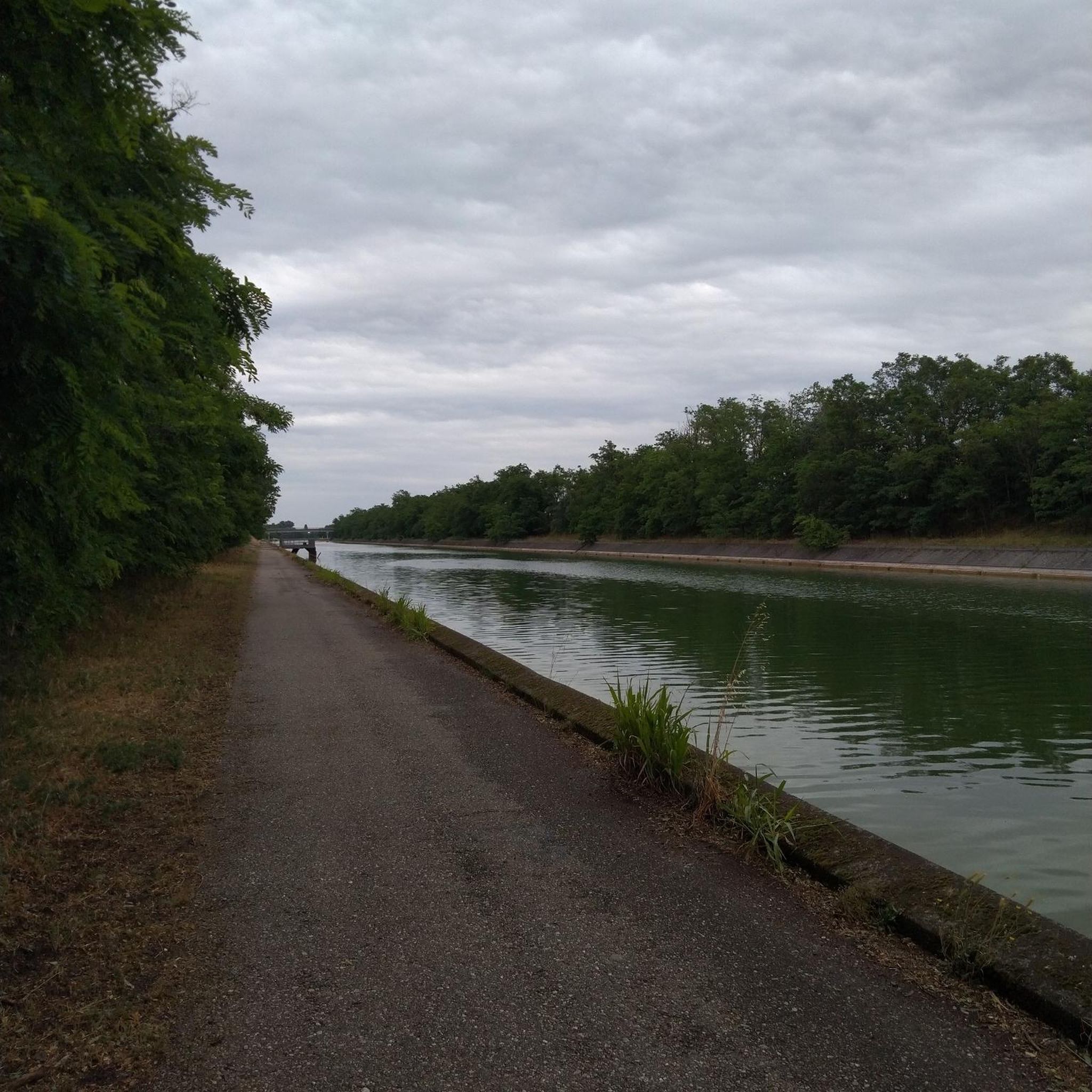
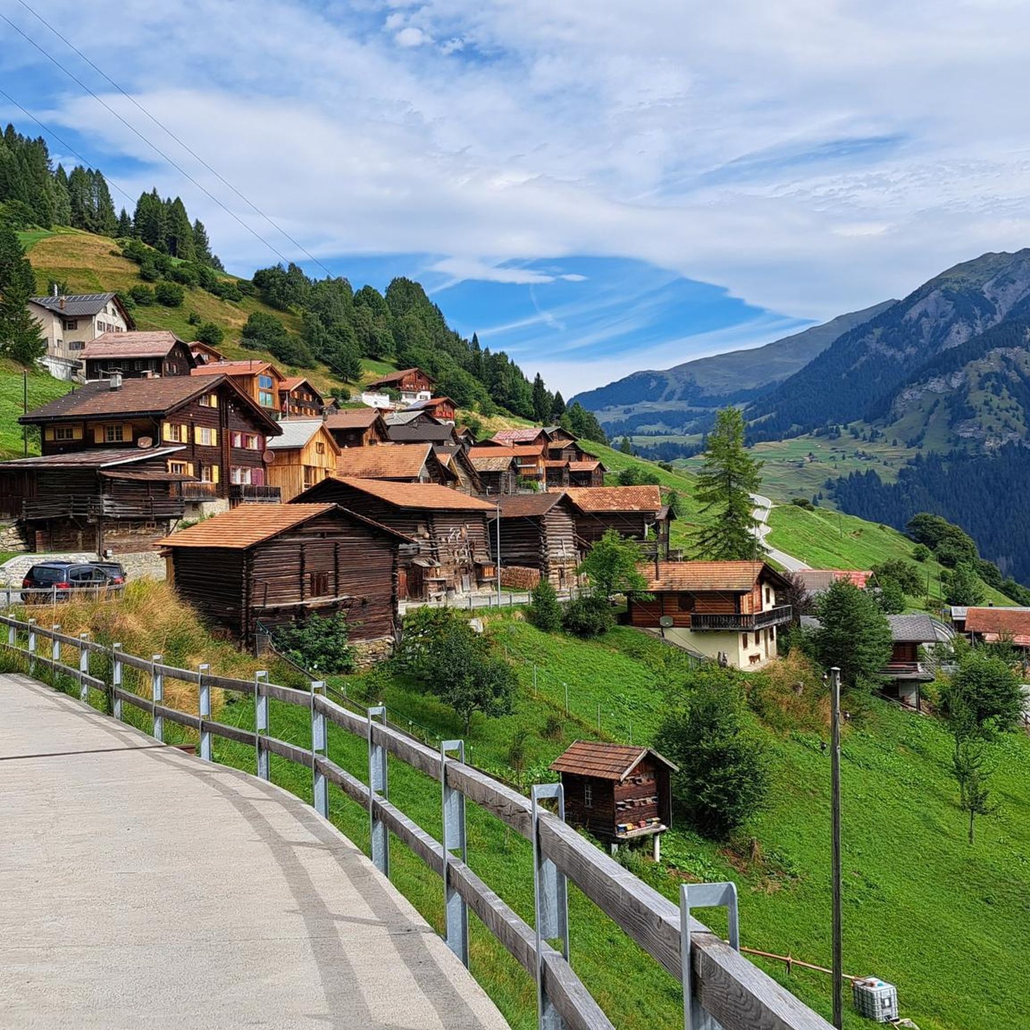
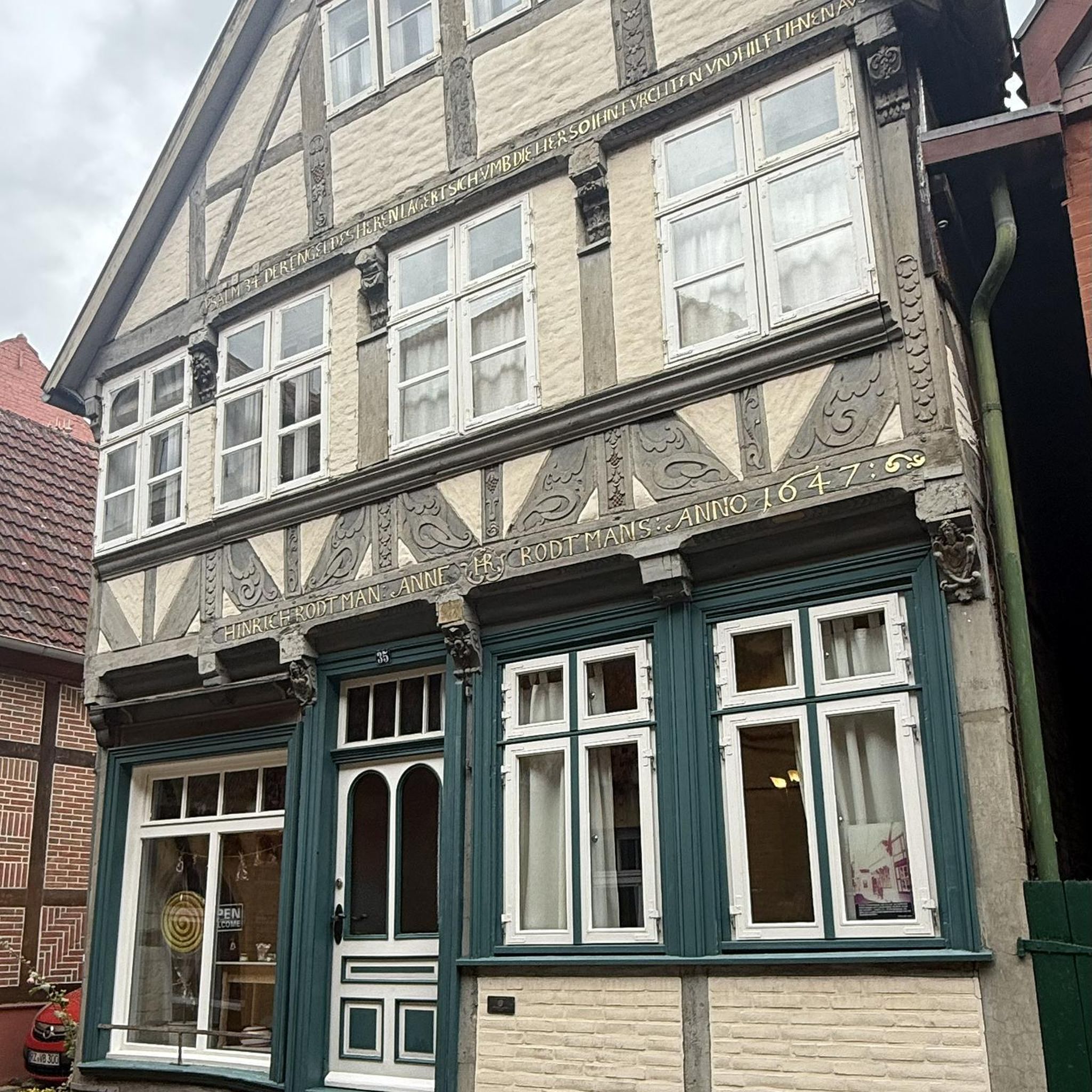

커뮤니티 팁


Fantastic panoramic point also easily reachable by mountain bike from Obermutten.
1
0


Here in Ziteil, on the eastern slope of the Piz Curvér, is the highest pilgrimage site in Switzerland at 2,429 meters above sea level. The pilgrimage chapel is not always open. If you're lucky enough to have it open, I recommend checking it out inside.
2
1
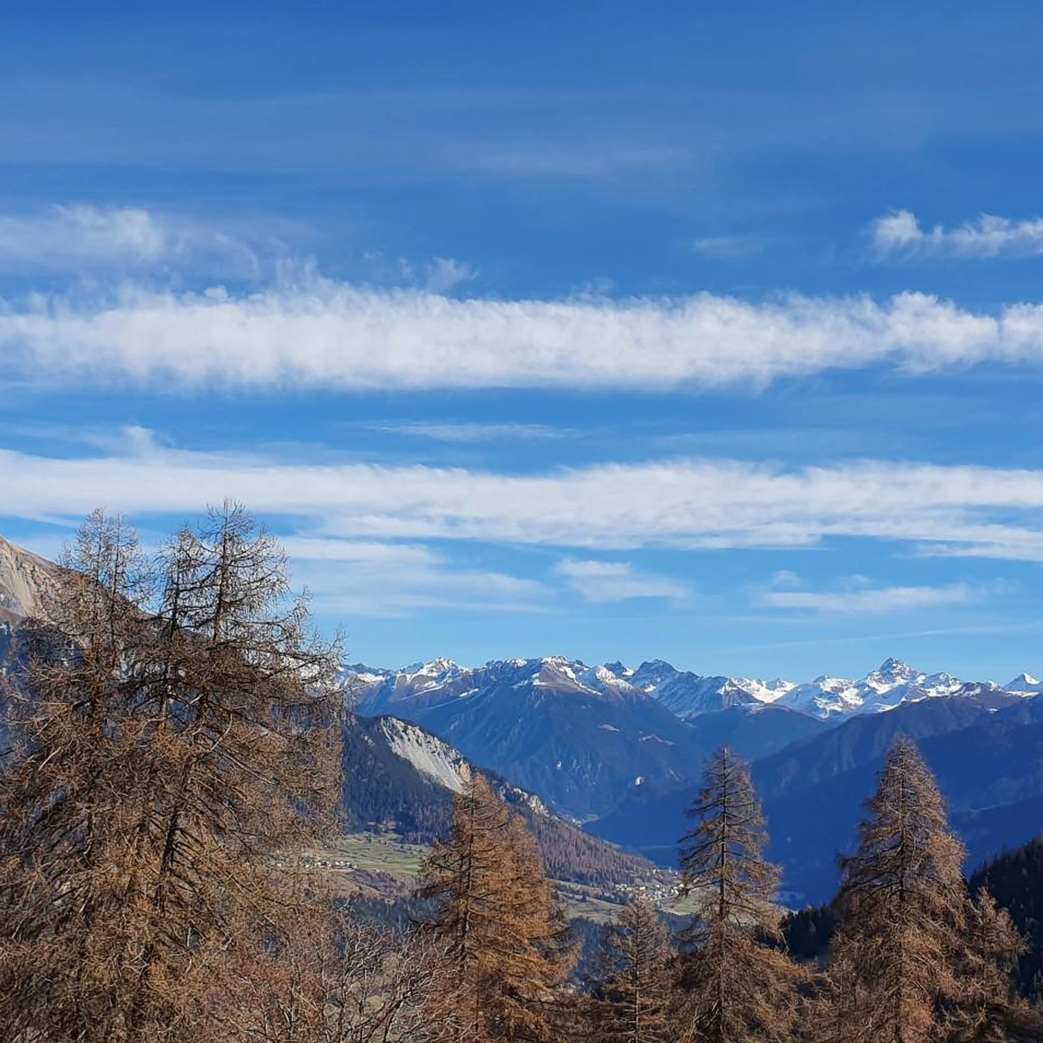
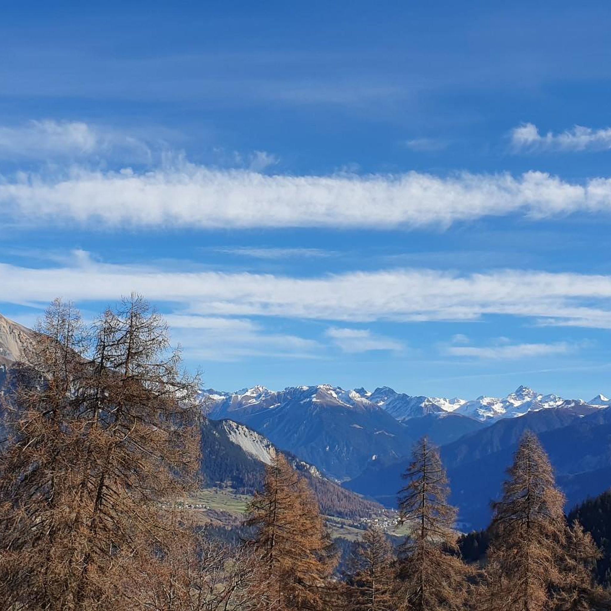
Stierva is a village in the canton of Graubünden on the left bank of the Albula. More precisely, on the eastern slope of a mountain range whose highest peaks are the Curvér Pintg da Taspegn (2,731 metres) and the Muttner Horn (2,401 metres).
0
0


Unfortunately there is no water outside of opening hours. So it is better to fill up at the fountain in Munter and then carry it up if necessary.
0
1

Park your car at the Mutten Unterdorf stop and take the Postbus to Obermutten. (Reservation required). The fireplace can be reached after a short hike and is ideal for small children.
0
0


더 살펴보기
다른 지역의 최고의 하이킹를 살펴보세요.
