므츠헤타-음티아네티 최고의 MTB 라이딩 경로
4.8
(54)
128
자전거 타는 사람
17
라이딩
므츠헤타-음티아네티에서 하이킹하며 그루지야 구석 부분까지 살펴볼까요? 므츠헤타-음티아네티에 있는 모든 하이킹 및 워킹 경로 컬렉션 중 가장 멋진 하이킹 경로를 엄선하여 소개해드릴게요. 다른 하이커가 공유한 실제 팁과 사진을 살펴보고 후기를 읽으며 마음에 드는 므츠헤타-음티아네티 워킹 경로를 찾아보세요.
마지막 업데이트: 10월 17, 2026
5.0
(3)
41
자전거 타는 사람
28.9km
02:37
400m
400m
어려운 산악 자전거 타기. 좋은 체력 필요. 뛰어난 라이딩 실력이 필요함. 투어 중 자전거를 끌고 가야 하는 구간이 있을 수 있음.
5.0
(14)
18
자전거 타는 사람
17.5km
01:35
290m
290m
보통 산악 자전거 타기. 모든 체력 수준에 적합. 뛰어난 라이딩 실력이 필요함.

9
자전거 타는 사람
50.1km
03:52
1,170m
1,170m
어려운 산악 자전거 타기. 우수한 체력 필요. 뛰어난 라이딩 실력이 필요함.
2
자전거 타는 사람
37.4km
03:26
1,070m
1,070m
어려운 산악 자전거 타기. 우수한 체력 필요. 뛰어난 라이딩 실력이 필요함.
14
자전거 타는 사람
18.0km
01:55
560m
560m
보통 산악 자전거 타기. 좋은 체력 필요. 뛰어난 라이딩 실력이 필요함.
3
자전거 타는 사람
50.6km
05:03
1,390m
1,390m
어려운 산악 자전거 타기. 우수한 체력 필요. 뛰어난 라이딩 실력이 필요함.
10
자전거 타는 사람
53.5km
04:02
1,090m
1,080m
어려운 산악 자전거 타기. 우수한 체력 필요. 뛰어난 라이딩 실력이 필요함.
4.0
(1)
6
자전거 타는 사람
26.5km
02:13
730m
730m
보통 산악 자전거 타기. 좋은 체력 필요. 실력과 관계없이 누구나 갈 수 있음.
5.0
(35)
9
자전거 타는 사람
18.9km
01:34
300m
300m
보통 산악 자전거 타기. 좋은 체력 필요. 뛰어난 라이딩 실력이 필요함.
더 다양한 경로와 다른 탐험가들의 추천을 살펴보세요.
이미 komoot 계정이 있나요?
투어 추천은 다른 사람들이 komoot에서 완료한 수천 개의 활동을 바탕으로 구성되어 있습니다.
오늘 무료 계정으로 시작하세요
다음 모험이 기다리고 있어요.
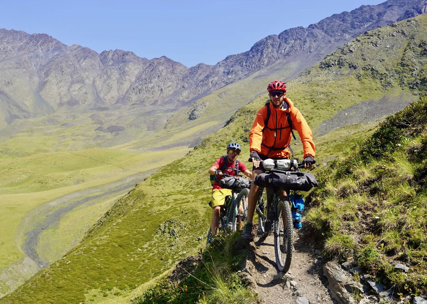
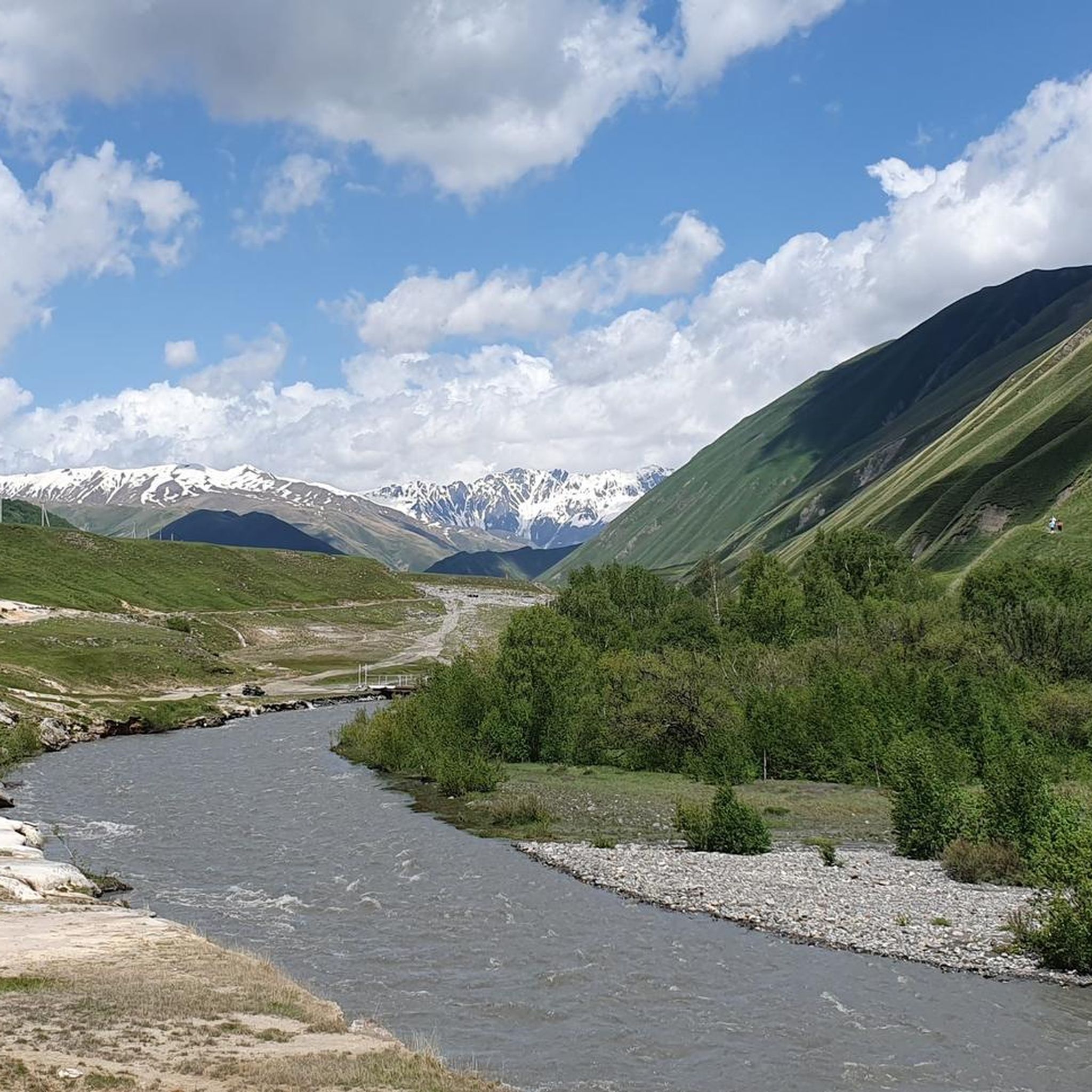
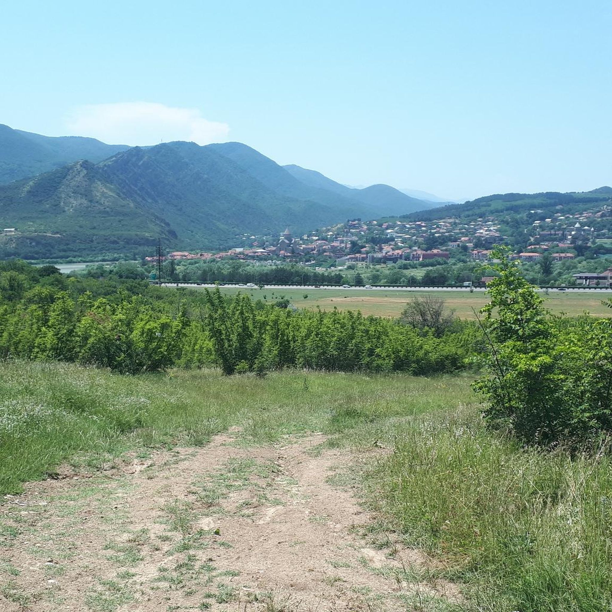
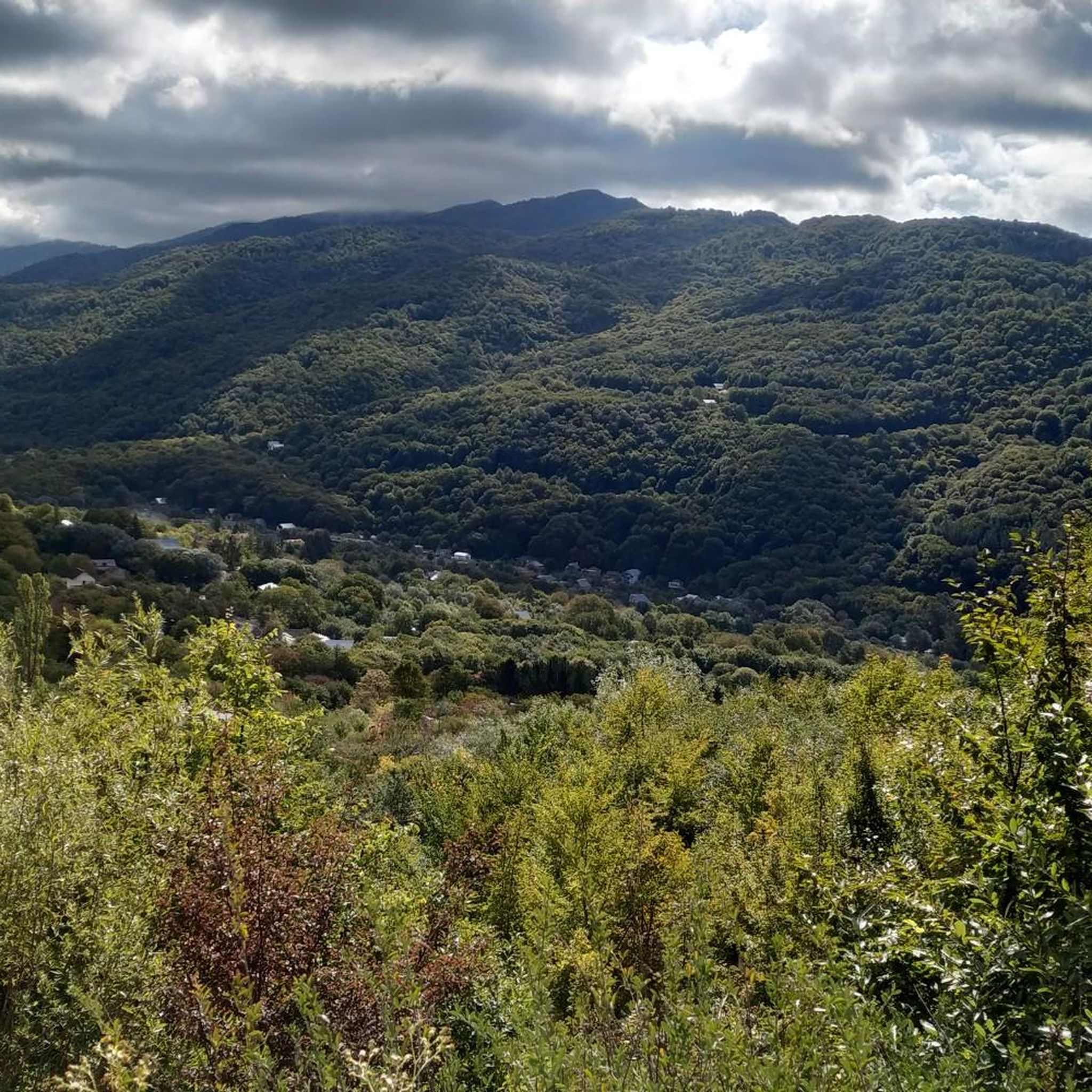


므츠헤타-음티아네티의 다른 모험

커뮤니티 팁

테렉강은 카즈베크 산 남서쪽에 위치한 해발 3847미터의 질가호흐 산 빙하에서 발원합니다. 이 강은 쿠반강 다음으로 캅카스 산맥에서 발원하는 가장 큰 강입니다. 길이는 623km입니다. 강은 처음에 아바노 마을 옆 동쪽 방향으로 트루소 계곡을 따라 흐르다가, 알마시아니부터 북쪽 방향으로 흘러 스타판츠민다를 거쳐 다르얄 협곡의 조지아-러시아 국경을 통과합니다. 이 강은 카스피해로 흘러 들어갑니다.
2
0
트래버틴은 파리의 사크레쾨르 전체를 건축하는 데 사용된 암석입니다. 좀 더 기술적으로 말하면, 탄산칼슘으로 과포화된 온천수에서 석회가 침전되어 형성된 석회암입니다. ... 하지만 흰색뿐만 아니라 광천수에 의해 남겨진 붉은색과 주황색 흔적도 생각해보세요. 이는 계곡에서 조금 더 떨어진 거의 버려진 두 마을인 케테레시와 아바노의 경우입니다.
2
0

Yep, that's kinda good one. A good alternative if you're bored of riding around the lake in the soup of people (duh). Make sure you have enough water and you have your head covered with a cap or something because there isn't a single tree or even a bush, so prepare to get well-done. Needless to say, you have to use UV protection (the higher the better) unless you're aiming to give yourself some cancer lol. | Yeah, it's a nice route. A good alternative if you're tired of riding around the lake in the soup of people (boring). The main thing is to take plenty of water and protect your head with a cap or something, because there aren't a single tree or bush here, so be prepared to get thoroughly fried. Of course, you need sunscreen (the higher the protection, the better), unless, of course, you want to give yourself cancer, lol.
1
0
That's a top trail. Riding literally a ridge delivers a unique feeling like it's not for real. Try it out to be sure. Hot pics are guaranteed if you make it to the top. Watch your steps, btw, falling down might be fatal. And make sure you're wrapped enough to resist the windy weather. | This is simply a top route. Riding straight along the ridge is an indescribable feeling, as if it's all unreal. You should definitely try riding here. Superb shots from the ridge are guaranteed. But by the way, watch your step—if you fall, you could collapse to death. And wrap up warm to stay warm.
0
0

Such a beautiful bridge, but unfortunately full of vendors offering boat tours and photos.
0
0

The Peace Bridge is an arched pedestrian bridge over the Mtkvari River in the Georgian capital, Tbilisi. The 150-meter-long, covered bridge was opened on May 6, 2010, and connects Tbilisi's Old Town with the newly designed Rike Park, not far from the Presidential Palace. It is located between the Barachvili and Metheki Bridges and was designed by the Italian architect Michele De Lucchi.
9
0
The original name of the church is unknown. Its current name is taken from a supposedly miraculous 12th-century icon of the Savior, which had been kept in the church since the 17th century and is now on display in the Georgian State Museum of Arts in Tbilisi. The silver icon (Georgian: Khati) came from the Anchi Church in southern Georgia. Its creator was Beka Opisari, a master silversmith of his era (Wikipedia).
7
0

The oldest church in the city. An impressive building.
0
0
므츠헤타-음티아네티에서 가장 인기 있는 명소


더 살펴보기
다른 지역의 최고의 MTB 트레일를 살펴보세요.
