미텔헤르비그스도르프 최고의 워킹 & 하이킹 경로
4.6
(13626)
48,240
등산객
41
하이킹
Komoot에 등록된 미텔헤르비그스도르프 내 트레일 및 경로 컬렉션 중에서 하이킹과 워킹을 가장 멋지게 즐길 수 있는 곳을 알려드릴게요. 아래에서 각 경로의 상세 정보를 모두 확인한 후, 미텔헤르비그스도르프 속 자연에서 즐거운 시간을 누려보세요.
마지막 업데이트: 10월 14, 2026
4.4
(8)
20
등산객
5.31km
01:28
90m
90m
초급용 하이킹. 모든 체력 수준에 적합. 실력과 관계없이 누구나 쉽게 갈 수 있는 길.
5.0
(4)
11
등산객
9.15km
02:34
180m
180m
보통 하이킹. 좋은 체력 필요. 실력과 관계없이 누구나 쉽게 갈 수 있는 길.

4.3
(4)
15
등산객
13.3km
03:36
180m
180m
보통 하이킹. 좋은 체력 필요. 실력과 관계없이 누구나 쉽게 갈 수 있는 길.
4.7
(3)
14
등산객
8.67km
02:18
80m
90m
보통 하이킹. 좋은 체력 필요. 실력과 관계없이 누구나 쉽게 갈 수 있는 길.
4.8
(5)
15
등산객
4.28km
01:07
30m
30m
초급용 하이킹. 모든 체력 수준에 적합. 실력과 관계없이 누구나 쉽게 갈 수 있는 길.
더 다양한 경로와 다른 탐험가들의 추천을 살펴보세요.
이미 komoot 계정이 있나요?
투어 추천은 다른 사람들이 komoot에서 완료한 수천 개의 활동을 바탕으로 구성되어 있습니다.
오늘 무료 계정으로 시작하세요
다음 모험이 기다리고 있어요.

커뮤니티 팁

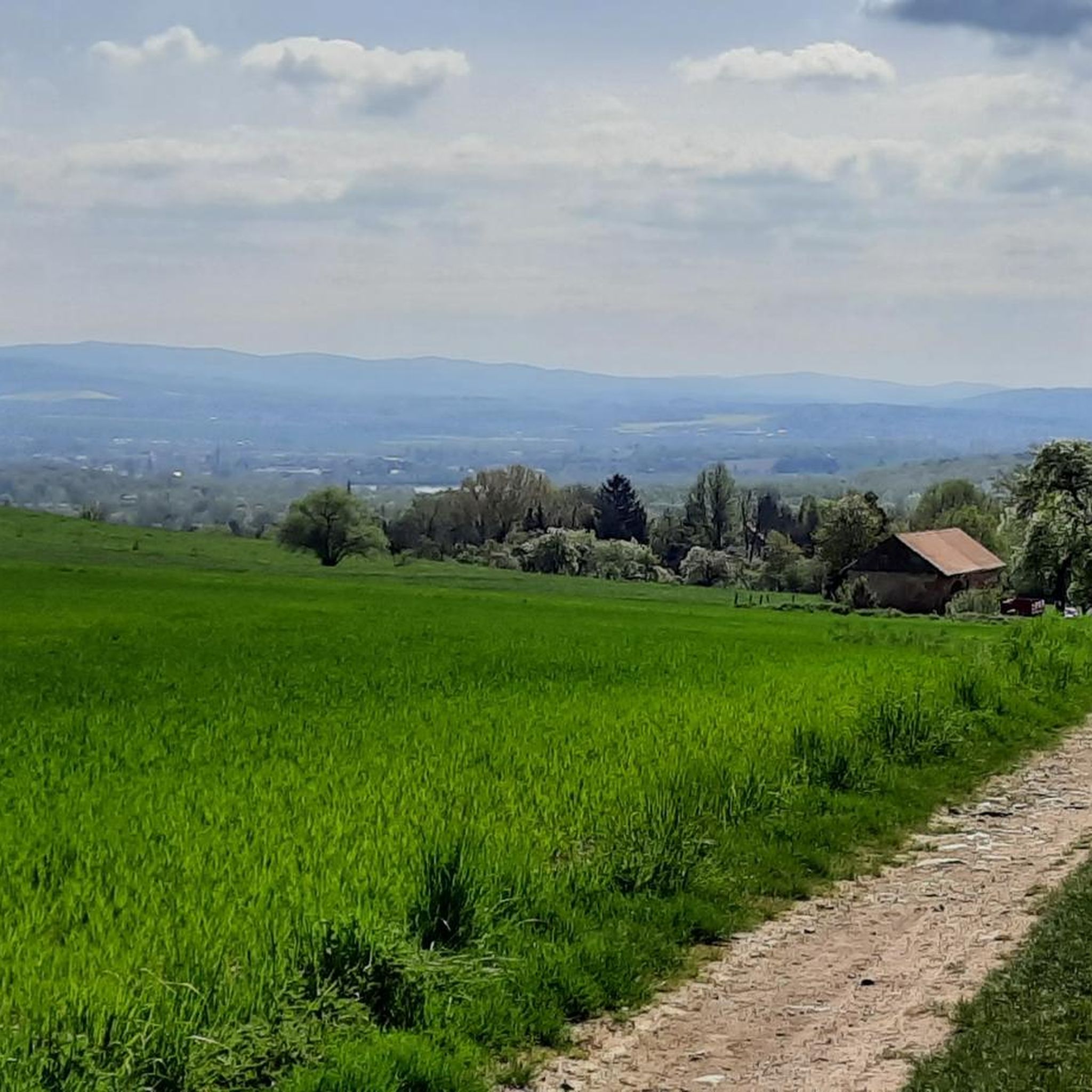
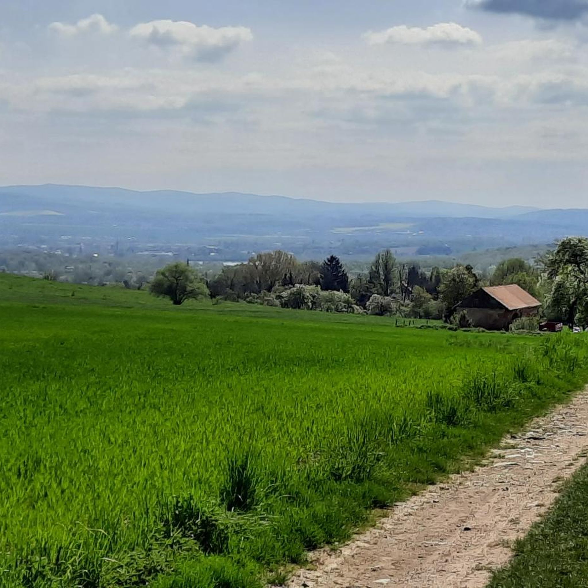
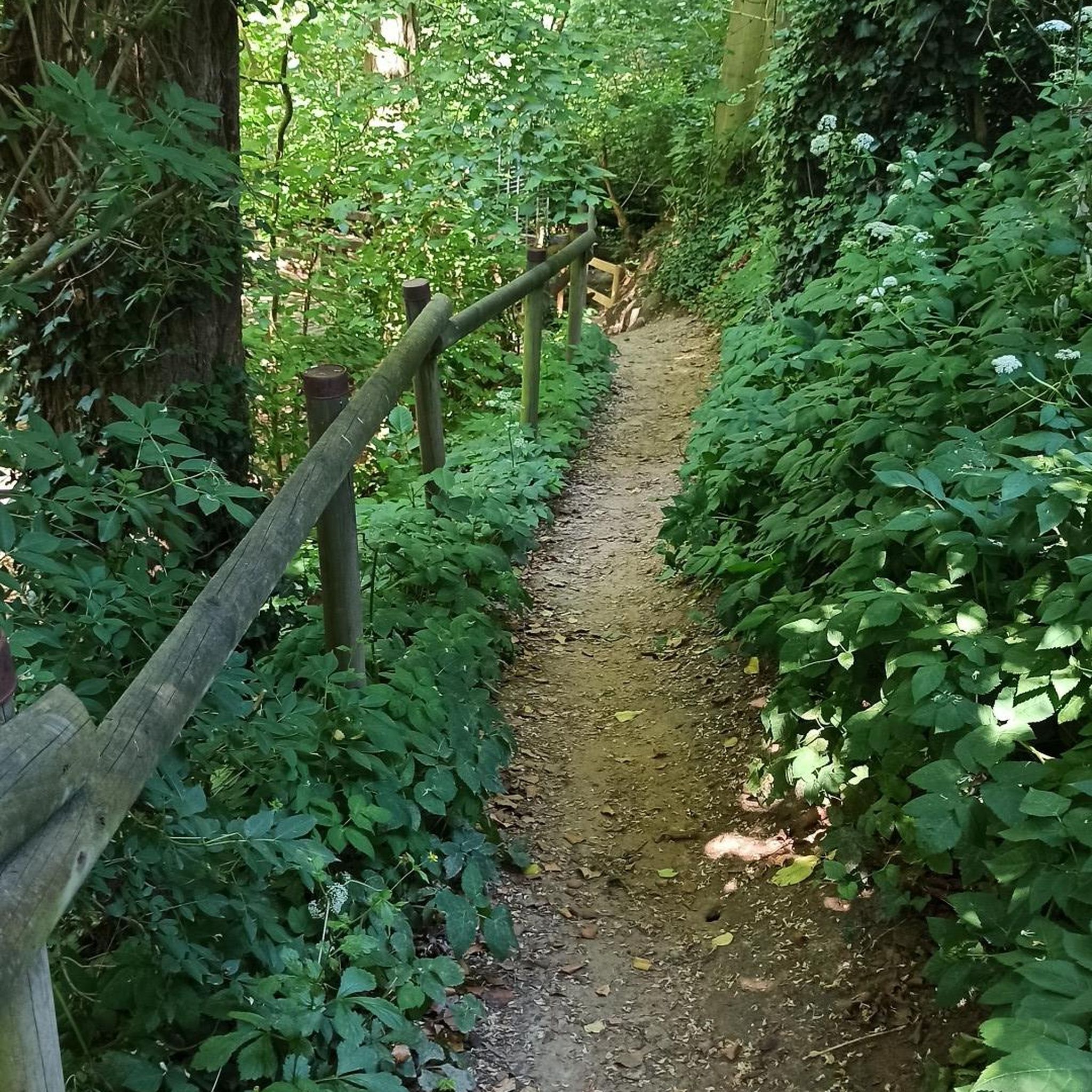
이곳에서는 초원으로 향하게 되는데, 실제로는 숲 가장자리를 따라 하이킹 트레일이 이어지지만, 이곳은 완전히 우거져 있고 키 큰 풀 때문에 더 이상 명확한 길을 알아볼 수 없습니다.
0
0

The lake is very overgrown, making swimming a bit of a deterrent. You can easily walk around the lake and then come to a kiosk selling delicious food and drinks.
1
0

The Roschertal owes its existence to a geological peculiarity. It is a breakthrough valley of the Mandau, which has cut through a basalt layer and underlying tertiary tuff layers. Such valleys are formed when a river erodes rock over long periods of time, while the surrounding area may rise or the water cuts deeper. Geological development: 1. Tertiary deposits: In the Tertiary period (around 65 to 2.6 million years ago) the area was characterized by volcanic activity. Tuff - a rock made of volcanic ash - was deposited. Later, basalt flows poured over it and formed a resistant covering layer. 2. Cutting of the Mandau: The Mandau, a tributary of the Neisse, began to work its way through the harder basalt layer over time. Since basalt is much more resistant than the tuff underneath, the erosion process was uneven. The softer rock layers were eroded more quickly, so that the valley gradually deepened. 3. Formation of the breakthrough valley: As the rock was further eroded, the steep, wooded slopes of the Roschertal that are visible today were created. These reach heights of around 50 to 60 meters above the valley floor. 4. Late Pleistocene influence: During the ice ages, the landscape was further shaped when frost weathering and landslides affected the valley flanks. During this time, the Mandau transported more meltwater and debris, which caused the river to dig in further. Special features today: The Roschertal is not only a geologically interesting area, but also an example of the natural development of Upper Lusatia. The interplay of basalt and tuff layers gives the landscape a varied morphology. Erosion has created some bizarre rock formations, and the forest that has developed in the valley protects the loose rock layers from further erosion. The fact that the Mandau has formed a breakthrough valley here also influences the water dynamics. The flow can vary greatly depending on the water level, which is noticeable in small cascades and whirlpools. In summary, the Roschertal is a product of the volcanic past, fluvial erosion and ice age processes - an exciting geological formation that also offers an attractive landscape for hikers and nature lovers.
1
0


Learning to deal with nature, not just for children. Discovering new things and refreshing your own knowledge is possible here.
3
0

Quite overgrown, difficult to recognize
0
0

Unfortunately a part of him has been destroyed, it's a shame.
1
0
Beautiful well-kept refuge at a crossroads.
1
0
미텔헤르비그스도르프 주변에서 가장 인기 있는 명소


더 살펴보기
다른 지역의 최고의 하이킹를 살펴보세요.
