마타누스카-수시트나 자치구 주변 최고의 가족 하이킹 & 워킹 코스
4.6
(112)
1,685
등산객
27
하이킹
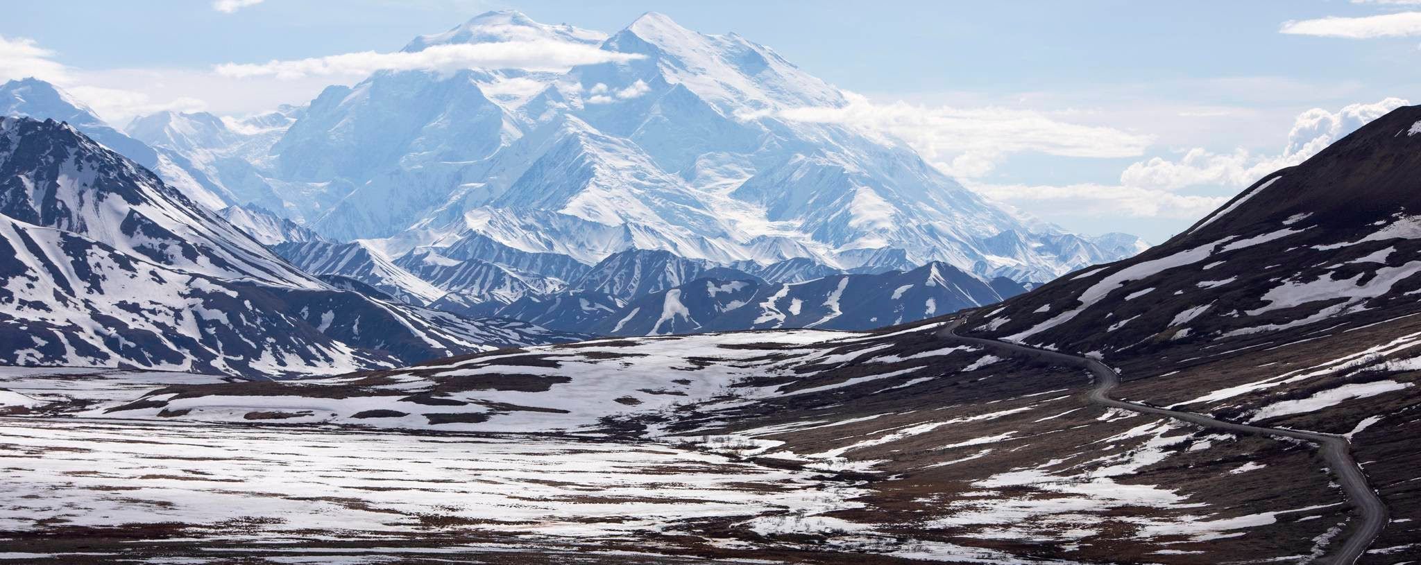
가족 친화적인 하이킹 트레일은 빙하와 알래스카 산맥, 탈키트나 산맥, 추카치 산맥의 세 주요 산맥이 형성한 다양한 풍경을 가로지릅니다. 이 광활한 지역은 빙하가 깎아 만든 계곡, 고산 지대의 고개, 울창한 침엽수림을 특징으로 합니다. 또한 수많은 빙하가 깎아 만든 호수와 주요 강들이 특징입니다. 이러한 다양한 지형은 다양한 경험 수준에 적합한 광범위한 트레일을 제공합니다.
Matanuska-Susitna Borough의 최고의 가족 친화적인 하이킹 트레일
- 가장 인기 있는 가족 친화적인 하이킹 경로는 바이러스 호수 루프 트레일로, 5.6마일(9.0km) 길이이며 완료하는 데 2시간 20분이 걸립니다. 이 경로는 데날리…
마지막 업데이트: 8월 31, 2026
28
등산객
1.76km
00:31
50m
40m
초급용 하이킹. 모든 체력 수준에 적합. 실력과 관계없이 누구나 쉽게 갈 수 있는 길.
4.5
(2)
16
등산객
8.96km
02:20
50m
70m
보통 하이킹. 좋은 체력 필요. 실력과 관계없이 누구나 쉽게 갈 수 있는 길.

무료 회원 가입
5.0
(1)
16
등산객
2.62km
01:04
250m
150m
초급용 하이킹. 모든 체력 수준에 적합. 실력과 관계없이 누구나 쉽게 갈 수 있는 길.
5.0
(3)
9
등산객
6.74km
01:47
60m
50m
초급용 하이킹. 모든 체력 수준에 적합. 실력과 관계없이 누구나 쉽게 갈 수 있는 길.
2
등산객
1.41km
00:30
140m
0m
초급용 하이킹. 모든 체력 수준에 적합. 실력과 관계없이 누구나 쉽게 갈 수 있는 길.
더 다양한 경로와 다른 탐험가들의 추천을 살펴보세요.
무료 회원 가입
이미 komoot 계정이 있나요?
투어 추천은 다른 사람들이 komoot에서 완료한 수천 개의 활동을 바탕으로 구성되어 있습니다.
오늘 무료 계정으로 시작하세요
다음 모험이 기다리고 있어요.
로그인 또는 가입하기





마타누스카-수시트나 자치구의 다른 모험

커뮤니티 팁

Ascending Hatch Peak from the east is a pretty easy hike up a narrow ridge trail. If you choose to make a full loop and continue back down into the bowl along the western ridgeline, be prepared for hiking on big pieces of loose rock and large, jagged scree.
0
0
This lake is absolutely gorgeous, and very popular in the summer, with non-motorized watercraft for rent, a loop trail all the way around the lake, and a massive campground just steps away. The west end is the nicest for walking (and everything else); the east end of the lake gets quite marshy. And, please be aware that summer brings hordes of mosquitoes, and bear sightings are extremely common here in most seasons.
1
0
I think this might be the largest campground in Denali State Park. It's no secret that you can pick lots of berries here in the fall, and it's just a quick walk from the nearby lake. However, it's also no secret that the marshy ground in this area makes the campground and neighboring lake VERY buggy (think hordes of mosquitoes) in the summer. Bear sightings are also extremely common here in almost every season, because they like berries — and Byers Lake — too.
0
0
Matanuska Lakes State Recreation Area is just one part of the huge swath of green space known as the Matanuska Greenbelt. There are several trailheads accessible to the south of Long Lake, a loop trail around Long Lake itself, and tie-ins with other parts of the Matanuska Greenbelt trail system, including the Crevasse Moraine trail system to the north.
1
0
The Independence Mine parking area, just on the other side of the road from here, is behind a gate that is closed in the evening. It usually requires a modest fee (it seems to change every few years, but tends to be around $5-$10 per vehicle). If the gate is open you can save some distance by parking here, but otherwise you'll need to walk from the parking lot further down the road.
0
0
This pretty alpine lake sits in a mountain bowl, surrounded by boulders — but the approach itself is pretty mild, with just a bit of rocky trail to deal with. This is a very popular destination for families.
1
0
A small sign marks the actual pass here, and there is a small parking area with just enough room for a few cars. Just on the other side of the gravel road you'll find a trailhead for the family-friendly hike up to April Bowl, which in a normal year contains three small lakes. If you're feeling rugged, you can also hike up a rocky ridgeline to the obvious summit of Hatch Peak, which looms over the bowl.
1
0

The Matanuska Lakes State Recreation Area is located behind the city. There are many beautiful lakes, accessible both in summer and winter with the right equipment.
0
0
마타누스카-수시트나 자치구에서 가장 인기 있는 명소


찾고 계신 것을 찾지 못하셨나요?
마타누스카-수시트나 자치구에서 더 많은 하이킹를 확인하고 목적지에서 완벽한 경로를 찾아보세요.
더 살펴보기
다른 지역의 최고의 하이킹를 살펴보세요.
