엘도라도 카운티 주변 최고의 교통량 없는 자전거 라이딩 코스
4.6
(46)
937
자전거 타는 사람
28
라이딩
투어링 사이클링은 엘도라도 카운티의 서부 구릉지대부터 하이 시에라까지 다양한 지형을 제공하며, 여러 경치 좋은 코스를 선사합니다. 이 지역은 해발고도가 낮은 곳부터 10,000피트 이상까지 다양하며, 완만한 언덕, 참나무가 늘어선 풍경, 도전적인 산악 코스를 특징으로 합니다. 주요 자연 명소로는 폴섬 호수, 아메리칸 강, 엘도라도 국유림의 상당 부분이 있습니다. 또한 이 카운티는 유명한 와인 산지를 포함하고 있어 포도밭 사이로 그림 같은 코스를 제공합니다.
엘도라도 카운티 최고의 교통 체증 없는 투어링 사이클링 코스
- 가장 인기 있는 교통 체증 없는 투어링 사이클링 코스는 타호 마운틴…
마지막 업데이트: 5월 10, 2026
9
자전거 타는 사람
23.5km
02:28
560m
560m
어려운 자전거 타기. 우수한 체력 필요. 투어 중 자전거를 끌고 가야 하는 구간이 있을 수 있음.
14
자전거 타는 사람
21.1km
01:20
230m
230m
보통 자전거 타기. 좋은 체력 필요. 대부분 포장된 노면.

5.0
(1)
5
자전거 타는 사람
19.2km
01:16
200m
200m
보통 자전거 타기. 좋은 체력 필요. 대부분 포장된 노면.
3
자전거 타는 사람
14.4km
01:02
210m
210m
보통 자전거 타기. 좋은 체력 필요. 대부분 포장된 노면.
1
자전거 타는 사람
12.6km
00:45
60m
60m
초급용 자전거 라이딩. 대부분 포장된 노면.
더 다양한 경로와 다른 탐험가들의 추천을 살펴보세요.
이미 komoot 계정이 있나요?
투어 추천은 다른 사람들이 komoot에서 완료한 수천 개의 활동을 바탕으로 구성되어 있습니다.
오늘 무료 계정으로 시작하세요
다음 모험이 기다리고 있어요.
엘도라도 카운티 주변 인기 장소

Lake Tahoe Basin Management Unit 교통량 없는 자전거 라이딩

Eldorado National Forest 교통량 없는 자전거 라이딩

Desolation Wilderness 교통량 없는 자전거 라이딩

Folsom Lake State Recreation Area 교통량 없는 자전거 라이딩

South Lake Tahoe 교통량 없는 자전거 라이딩

4,200 킬로미터의 원정 - 태평양 꼭대기 트레일 멕시코에서 캐나다까지
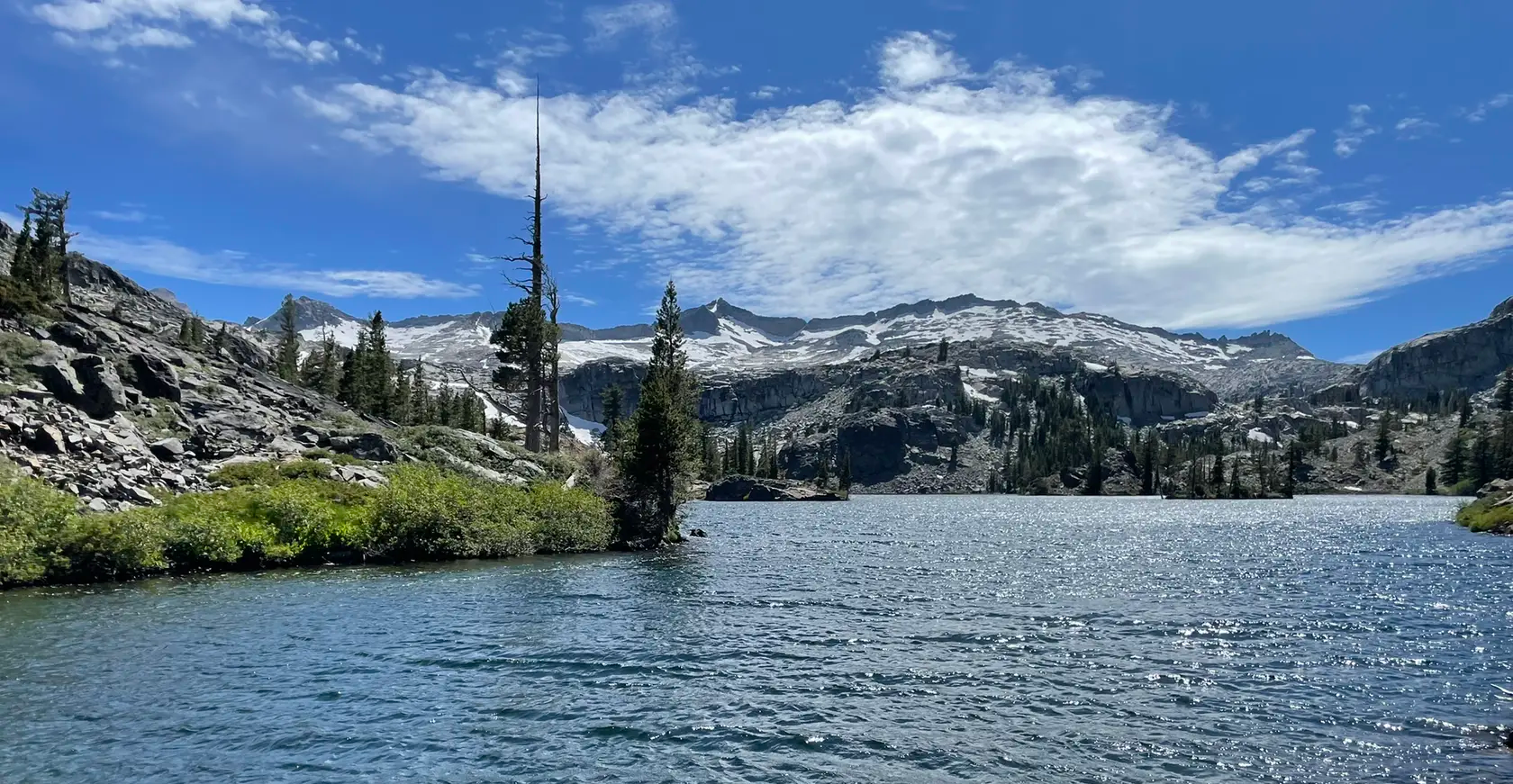
타호 림 트레일 - 시에라의 보석을 따라 하이킹하기
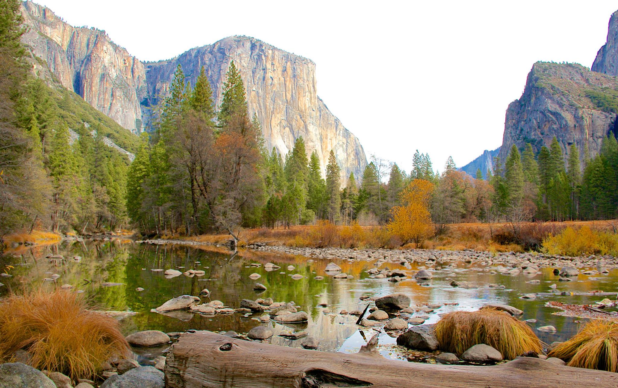
California to Nevada – hiking between Volcanoes, Water & Forest
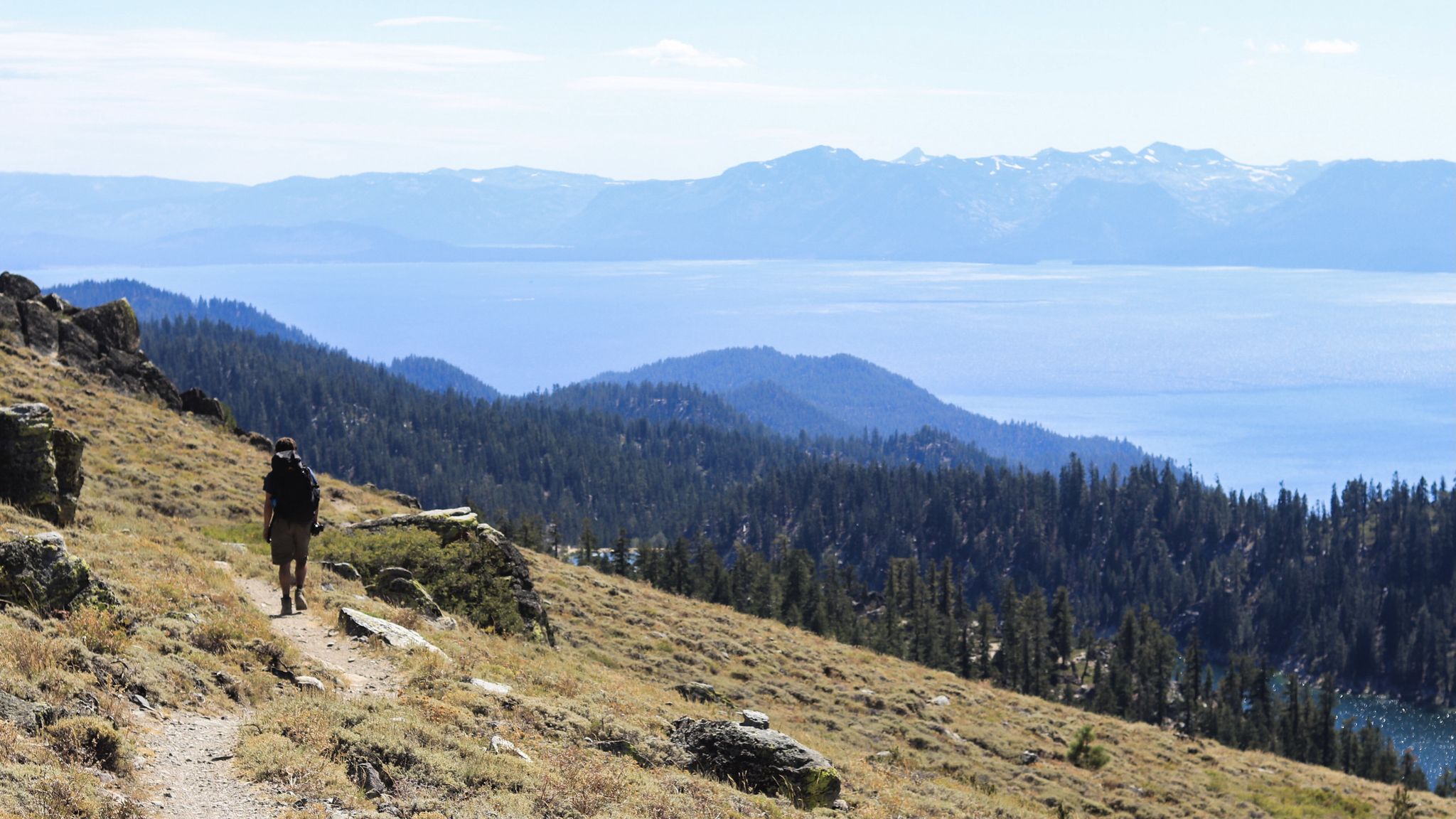
오르 나냐 우리 마이 출레이 시도 - Tahoe Rim Trail
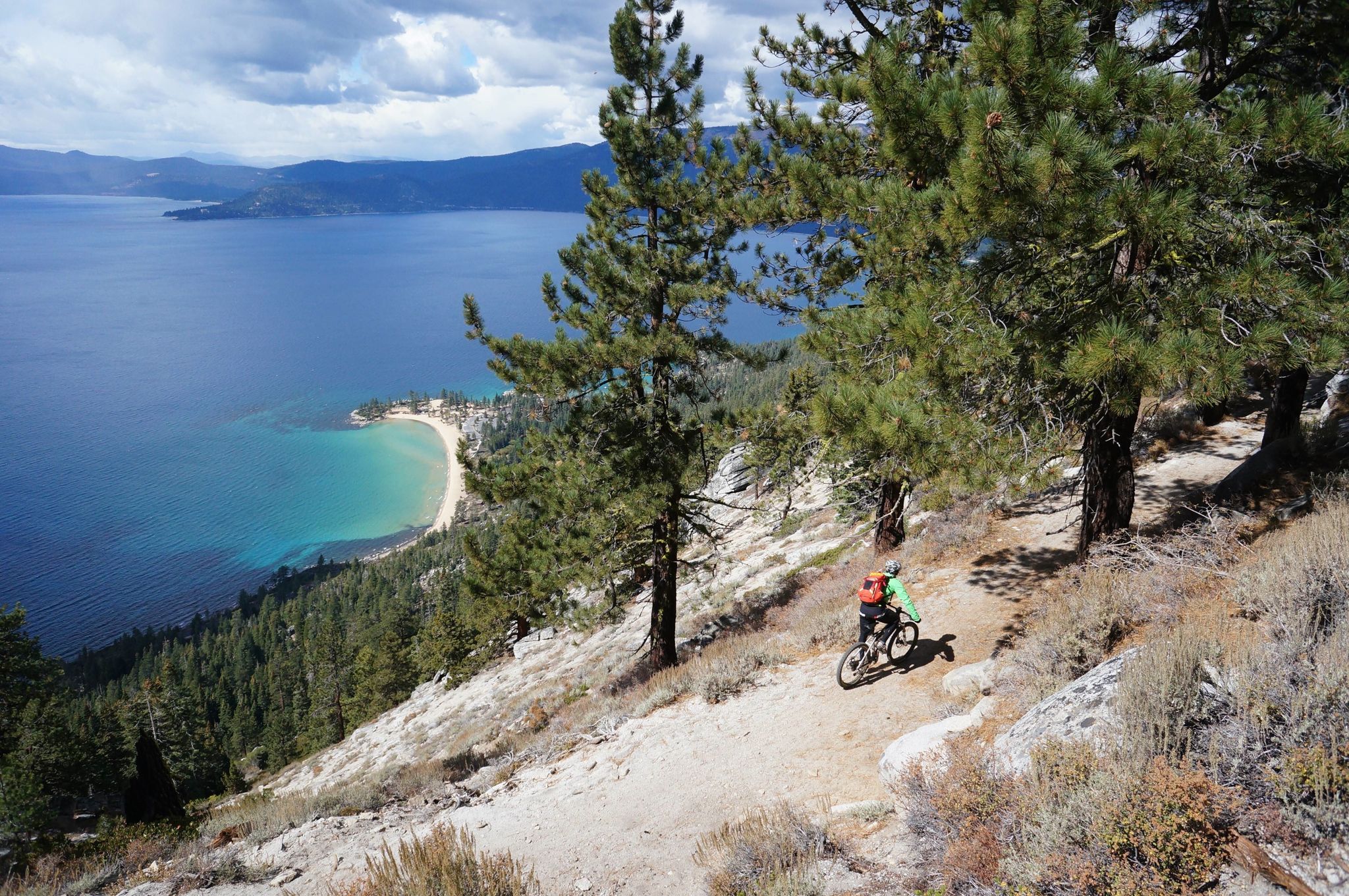
널리 기억나는 MTB 모험 - 미국과 캐나다의 IMBA 에픽 트레일
엘도라도 카운티의 다른 모험


커뮤니티 팁

Tahoe Mountain Trail is a hard packed dirt segment navigating through a mix of shaded forest and exposed mountain side. The trail is popular with hikers, runners, and cyclists. While a xc hard tail would be ideal, a gravel bike or really anything with larger tires would be fine.
0
0
This bike path is part of the South Tahoe Bikeway. This segment is a popular corridor for cyclists, runners, and hikers to get from the Tahoe Keys to South Lake Tahoe. The path is well paved and has a cool elevated bridge along the way.
0
0
Fallen Leaf Lake is a great spot to visit to enjoy incredible views and take a swim. The clear blue water is home to a plethora of recreational activities including paddleboarding, swimming, boating, and kayaking. The shores are lined with trails for cycling and hiking, and there are a number of great spectating spots along the way.
0
0
El Dorado Trail is a nice, paved trail with a mix of shaded and exposed sections. There are beautiful bridges and viewpoints of the hillside as you progress further. The first half of the trail does have some road noise, but the second half moves away from the road and is more peaceful.
0
0
El Dorado Trail is a family-friendly paved path. Along the trail you can see farm animals from the plots of land bellied up to the trail. For the most part the trail is a gentle grade, but at the very beginning there are a few slightly steeper sections that a kid or mobility equipment may need assistance on.
0
0
Placerville is a nice mid-size town with tons of shopping, restaurants, and historical buildings. There is something for almost everyone in the town, including a winery, the Gold Bug Park & Mine, and an apple orchard.
0
0

Fallen Leaf Lake, a glistening alpine gem, was sculpted by two glaciers that once flowed down the Glen Alpine Valley. This hidden gem remains a well-kept secret, offering a serene escape from the crowds often found at Lake Tahoe.
0
0

Fallen Leaf Lake is a mountain lake located in El Dorado County, California, near the California-Nevada state border, about one mile south of the much larger Lake Tahoe. It is approximately aligned north-to-south and oval in shape, measuring approximately 2.9 miles (4.6 km) on the long axis and 0.9 miles (1.4 km) on the short axis. The lake was created by at least two glaciers that traveled northward down the Glen Alpine Valley. If the glacier had continued instead of stopping, Fallen Leaf Lake would be a bay of Lake Tahoe, similar to nearby Emerald Bay. A terminal moraine is visible at the north end of the lake on the northeast edge. Cathedral Peak to the west, and the ridge upon which the Angora Lookout is located on the east (now forested). Cathedral Peak (8,200 feet (2,500 m)) appears to be a solitary peak from the vantage point on the lake, but is really the beginning of a ridge that leads in the direction of Gilmore Lake and Mount Tallac (9,735 ft/2,967 m). Cathedral Peak does not have a trail that leads directly to it, but can be reached by three different approaches. The Middle Trail to Tallac is a trail that begins near Lily Lake and which runs along the northern side of Glen Alpine Valley. It runs up to a junction which splits off to Gilmore Lake and Mount Tallac. Intrepid hikers can set off cross-country in the general direction of Cathedral Peak, about half a mile (800 m) away. Another route is from Gilmore Lake, to the same junction. Finally, the Lake Trail begins at the end of Fallen Leaf Road and slowly climbs up to Cathedral Lake and Floating Island Lake, and eventually to the Mount Tallac trail. Fallen Leaf Road is approximately 5 miles (8 km) long, and begins at State Route 89, which runs along the south shore of Lake Tahoe. The road intersects the highway approximately half a mile (800 m) west of Camp Richardson, a resort and campground on the southern shore of Lake Tahoe. The road runs generally to the south, is one lane wide and paved, and has turnouts to allow cars to pass each other. The road passes the Fallen Leaf Lake Campground, operated by the Forest Service. https://en.wikipedia.org/wiki/Fallen_Leaf_Lake_(California)
0
0
자주 묻는 질문
엘도라도 카운티에는 교통량이 없는 투어링 사이클링 경로가 몇 개나 있나요?
엘도라도 카운티는 교통량이 없는 투어링 사이클링 경로를 25개 이상 제공합니다. 이 경로들은 초보자 및 가족 친화적인 코스부터 더 도전적인 산악 코스까지 다양하게 있어 모든 수준의 라이더에게 다채로운 경험을 선사합니다.
이 경로들에서 어떤 지형을 예상할 수 있나요?
엘도라도 카운티의 교통량이 없는 투어링 사이클링 경로는 다양한 지형을 특징으로 합니다. 참나무가 많은 구릉지대의 완만한 언덕부터 시에라 네바다 산맥의 멋진 전망을 감상할 수 있는 도전적인 오르막까지 모든 것을 찾을 수 있습니다. 많은 경로는 아름다운 강변이나 호숫가 길을 따라 이어져 다양한 노면과 고도를 제공합니다.
쉬운, 가족 친화적인 교통량이 없는 사이클링 경로가 있나요?
네, 엘도라도 카운티에는 몇 가지 쉽고 가족 친화적인 옵션이 있습니다. 사우스 타호 바이커웨이 루프는 약 12.6km의 완만한 라이딩과 최소한의 고도 상승으로 편안한 외출에 완벽한 훌륭한 예입니다. 사우스 레이크 타호 지역은 일반적으로 가족 친화적인 자전거 도로로 유명합니다.
이 경로를 따라 어떤 주목할 만한 자연 명소나 전망대가 있나요?
많은 경로는 멋진 자연 명소로 이어집니다. 아메리칸 강 남쪽 지류를 따라 자전거를 타거나, 폴섬 호수의 전망을 즐기거나, 엘도라도 국유림과 접해 있는 지역으로 모험을 떠날 수 있습니다. 숨 막히는 경치를 보려면 타호 호수 근처의 경로를 고려해 보세요. 매기스 피크에서 바라본 타호 호수 전망 또는 페들러 힐 전망대와 같은 하이라이트는 장엄한 풍경을 제공합니다.
폭포 옆을 지나는 경로를 찾을 수 있나요?
네, 엘도라도 카운티에는 여러 아름다운 폭포가 있으며, 일부 사이클링 경로는 폭포 근처로 이어지거나 짧은 우회로의 진입로 역할을 할 수 있습니다. 주목할 만한 폭포로는 캐스케이드 폭포 트레일헤드, 어퍼 이글 폭포, 바시 폭포가 있습니다. 항상 특정 경로 세부 정보에서 이러한 자연 명소와의 근접성을 확인하세요.
엘도라도 카운티에서 투어링 사이클링을 즐기기에 가장 좋은 시기는 언제인가요?
엘도라도 카운티에서 투어링 사이클링을 즐기기에 가장 좋은 시기는 일반적으로 봄부터 가을까지입니다. 봄에는 푸른 풍경과 쾌적한 온도를 즐길 수 있으며, 가을에는 시원한 날씨와 아름다운 단풍을 감상할 수 있습니다. 여름은 특히 저지대에서 더울 수 있지만, 타호 호수나 시에라 네바다 근처의 고지대 경로는 더 시원한 조건을 제공합니다. 겨울에는 고지대에 눈이 내려 일부 경로에 접근이 제한될 수 있습니다.
더 길고 도전적인 교통량이 없는 투어링 경로는 없나요?
더 큰 도전을 원하는 분들을 위해 엘도라도 카운티는 더 까다로운 옵션을 제공합니다. 예를 들어, 타호 마운틴 루프는 어려운 코스로 분류되며, 23km 이상에 상당한 고도 상승이 있어 숙련된 투어링 사이클리스트에게 보람 있는 경험을 제공합니다.
다른 투어링 사이클리스트들은 엘도라도 카운티의 경로에 대해 무엇을 가장 즐기나요?
코무트 커뮤니티는 엘도라도 카운티의 투어링 사이클링 경험을 높이 평가하며, 40개 이상의 리뷰에서 평균 4.5점의 점수를 받았습니다. 리뷰어들은 종종 고요한 호숫가 길부터 도전적인 산악 등반까지 지역의 다양한 풍경과 조용하고 교통량이 없는 도로 및 전용 자전거 도로를 탐험할 기회를 칭찬합니다.
출발점으로 돌아오는 순환 또는 루프 경로는 찾을 수 있나요?
네, 엘도라도 카운티의 많은 교통량이 없는 투어링 사이클링 경로는 루프로 설계되어 같은 지점에서 시작하고 끝낼 수 있습니다. 이는 트레일헤드로 차를 가져오는 사람들에게 편리합니다. 예를 들어, 사우스 타호 바이커웨이 루프는 인기 있는 순환 옵션입니다.
역사적인 길을 따라가거나 흥미로운 마을을 지나는 경로는 없나요?
교통량이 없는 경로에 중점을 두면서도, 엘도라도 트레일의 일부와 같은 일부 경로는 역사적인 지역을 연결하는 더 큰 통로의 일부입니다. 또한 매력적인 골드러시 마을을 통과하거나 근처를 지나는 경로를 찾을 수 있으며, 이는 이 지역의 과거를 엿볼 수 있게 해줍니다. 예를 들어, 마셜 골드 디스커버리 주립 역사 공원은 아메리칸 강을 따라 위치하며 아름다운 주변 환경을 제공합니다.
완전히 교통량이 없는 것으로 알려진 특정 자전거 도로 또는 트레일이 있나요?
물론입니다. 엘도라도 트레일은 완성된 구간이 차량 교통과 완전히 분리된 클래스 I 자전거 도로를 제공하는 주요 예입니다. 마찬가지로 사우스 레이크 타호 주변의 광범위한 자전거 도로 네트워크는 수 마일에 달하는 전용 교통량 없는 사이클링을 제공합니다. 유니온 밸리 바이크 트레일 또한 상당한 길이의 전용 도로를 제공합니다.
엘도라도 카운티에서 가장 인기 있는 명소


찾고 계신 것을 찾지 못하셨나요?
엘도라도 카운티에서 더 많은 자전거 경로를 확인하고 목적지에서 완벽한 경로를 찾아보세요.
더 살펴보기
다른 지역의 최고의 자전거 경로를 살펴보세요.
