수르 주변 최고의 버스 정류장 출발 하이킹 & 워킹 코스
4.4
(564)
3,795
등산객
9
하이킹
하이킹은 드라마틱한 와디, 고요한 해안선, 산악 지형으로 특징지어지는 다양한 풍경을 제공합니다. 이 지역은 깊은 협곡, 울창한 야자수 숲, 맑은 자연 수영장을 포함한 중요한 지질학적 지형을 특징으로 합니다. 이러한 자연적 특징은 다양한 하이킹 선호도에 적합한 다양한 환경을 조성합니다.
Sur 주변 최고의 버스 정류장 하이킹 트레일
- 가장 인기 있는 버스 정류장 하이킹 경로는 모이멘토스 출발 포르토마린 다리 루프로, 11.7마일(18.8km) 길이이며 완료하는 데 5시간 16분이 걸립니다. 이 어려운 경로는 상당한 고도 상승이 특징입니다.
- 현지 하이커들 사이에서 또 다른 인기 코스는 포르토마린 표지판…
마지막 업데이트: 8월 30, 2026
4.9
(23)
189
등산객
19.7km
05:34
420m
420m
어려운 하이킹. 우수한 체력 필요. 실력과 관계없이 누구나 쉽게 갈 수 있는 길.
4.6
(13)
60
등산객
7.87km
02:17
190m
190m
보통 하이킹. 좋은 체력 필요. 대부분 갈 수 있는 길. 미끄러지지 않게 조심해야 함.

무료 회원 가입
8
등산객
11.2km
03:09
230m
240m
보통 하이킹. 좋은 체력 필요. 실력과 관계없이 누구나 쉽게 갈 수 있는 길.
5.0
(2)
6
등산객
23.7km
07:25
870m
870m
어려운 하이킹. 우수한 체력 필요. 대부분 갈 수 있는 길. 미끄러지지 않게 조심해야 함.
2
등산객
4.49km
01:19
130m
130m
초급용 하이킹. 모든 체력 수준에 적합. 실력과 관계없이 누구나 쉽게 갈 수 있는 길.
더 다양한 경로와 다른 탐험가들의 추천을 살펴보세요.
무료 회원 가입
이미 komoot 계정이 있나요?
투어 추천은 다른 사람들이 komoot에서 완료한 수천 개의 활동을 바탕으로 구성되어 있습니다.
오늘 무료 계정으로 시작하세요
다음 모험이 기다리고 있어요.
로그인 또는 가입하기
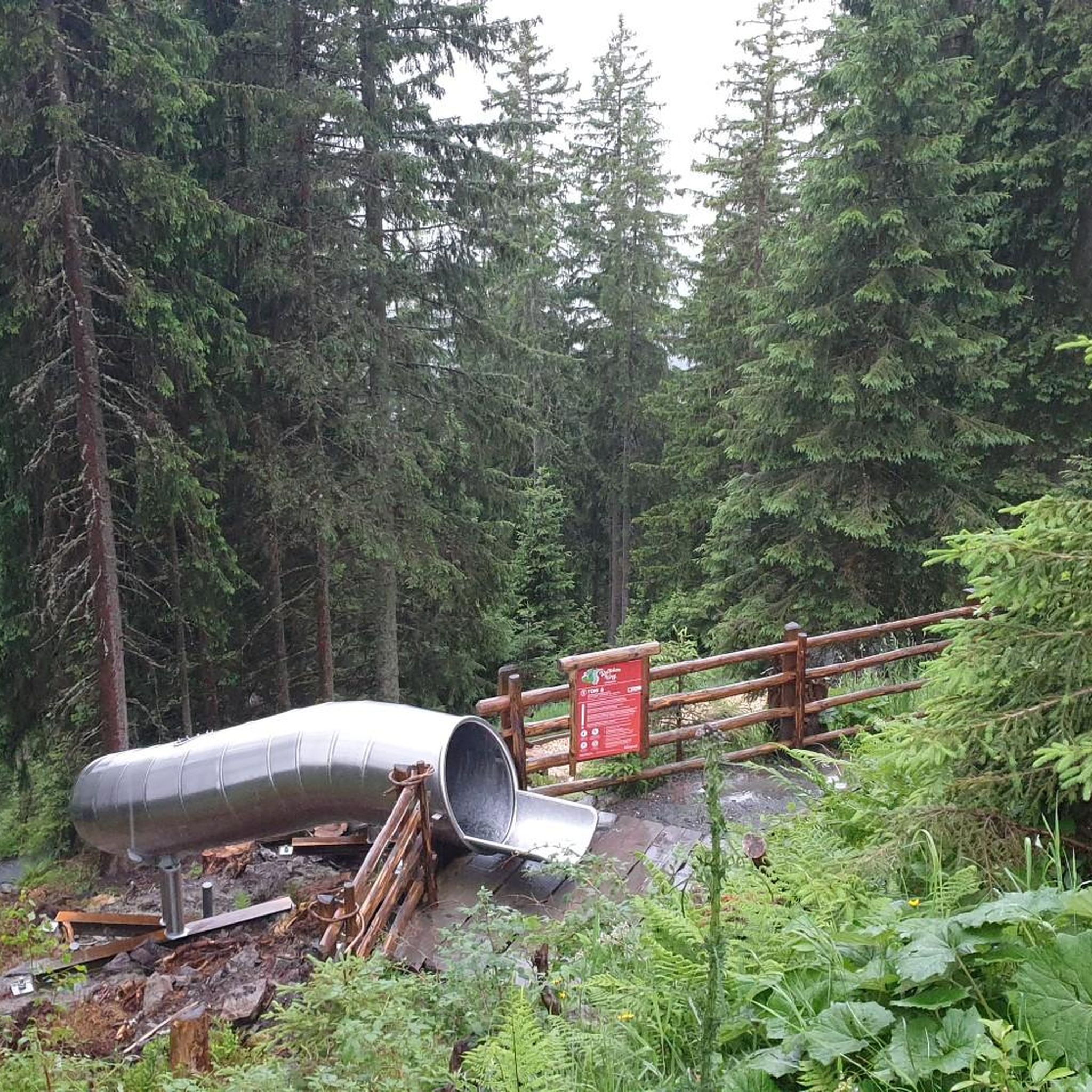
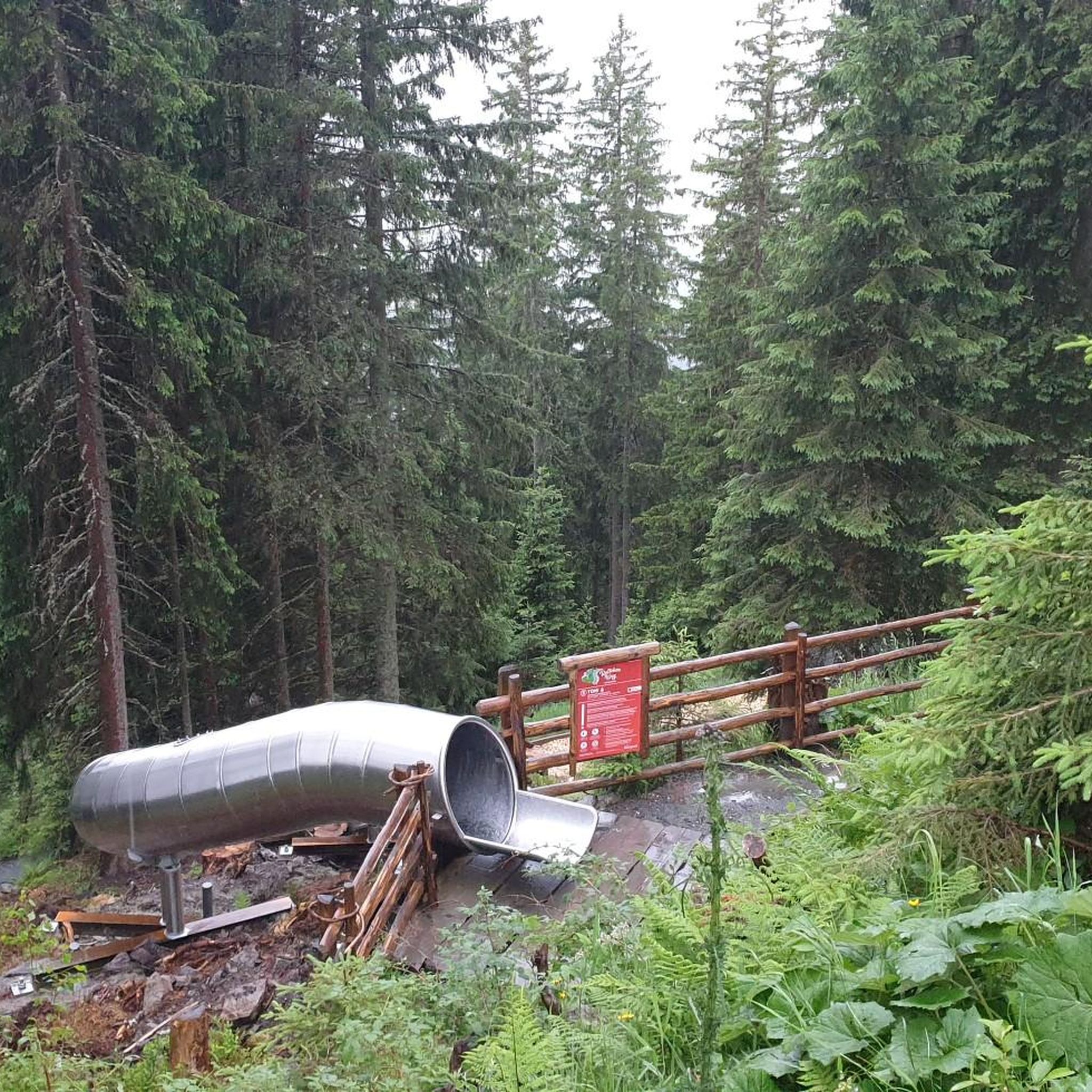

커뮤니티 팁

격주 일요일에 미사를 위해 개방하는 교회. 나머지는 폐쇄됩니다.
0
0

To get to Portomarin, you have to cross this bridge. At low tide, you can see the remains of the old Portomarin.
2
0

If you choose to explore this route, you'll be surrounded by nature, history, and breathtaking views. Enjoy your hike! 🏞️🚶♂️🥾🚵🌞
4
0

Magnificent mystical views on the Ferreiros to Castromajor stage, at 7:00 a.m.
1
0

The As Fontiñas viewing point is an excellent window into the best-preserved natural ecosystems in the Sil Canyon, a mysterious and balanced mix of water, stone, forest and space. The course of the Gavias stream reaches the edge of the cliffs from the fields of Requián and before entering the Sil River it plunges down a crazy and dizzying succession of rocky steps. In one of them it creates the Pozo da Ovella waterfall, a giant's cauldron that demonstrates the energy of the water when it falls furiously down the walls of the great Sil gorge.
0
1
The village of Entrambosríos is hidden in a forest of ancient chestnut trees at the confluence of the Batán and Fiós rivers, two torrents of water that provided enough energy to move the machinery of two mills built on the banks of the river, one in Entrambosríos and the other in Rabacallos, near the mouth of the river in the Sil. The buildings and part of the irrigation ditches, the bridge and the surroundings of the mills have been restored to preserve the memory of the families who for generations dedicated themselves to the work of milling. A panel located next to the old mill remembers the last family that kept the mill running until the end of the last century. From Roman times, the basis of peasant food and the original raw material for milling was the chestnut. The first agricultural revolution came from the 12th century, when the monks of the Ribeira Sacra introduced the cultivation of millet and rye. And from the 17th century onwards, wheat and corn arrived, the flours that have brought the Galician baking industry and “Galician bread” to the forefront of popular gastronomy. The Entrambosríos chestnut tree is an ancient example of chestnut included in the Catalogue of Singular Trees of Galicia, and boasts of being one of the oldest and largest trees in Galicia. The branches continue to produce fruit and in the meantime they tell an endless story of perseverance, love for the land and friendship with human beings.
0
0
The trail begins in the Plaza do Barquilleiro, in Parada de Sil, a must-see in the essential landscapes of the Sil Canyon and the Ribeira Sacra to discover fantasy forests, river balconies, traditional wineries and the ancient monastery of Santa Cristina, a notable landmark in the Benedictine foundations spread across the great river canyon in the interior of Galicia.
0
1
The Balconies of Madrid have a history that speaks of emigration, dreams and human adventures in unknown lands. The original name of Os Torgás was changed when the people of the Ourense villages of the Ribeira Sacra hung themselves from the cliffs of the River Sil to say goodbye to their loved ones who were leaving for Madrid and other lands in the south with the dream of a new life. The viewing points form small steps hanging over the river gorge and cause a special fascination. The breeze in the air carries the aromas of vineyards hanging on steep rocky terraces and melodies of elves emerging from enchanted forests, descendants of the primitive mythological beings who resisted the sacralisation of their plant kingdom by the monks and long before by the Roman legions. The walls of the Sil Canyon are a monumental sculpture five hundred metres high made of fierce, bare granite, a fortress of living rock up to the edge of the viewing points that filter the wind, the lights and the eternal songs of all the people who have passed through this fantastic natural balcony to say goodbye or find someone.
1
1
자주 묻는 질문
Sur에는 버스 정류장 하이킹 코스가 몇 개 있나요?
Sur 주변 버스 정류장에서 접근 가능한 8개의 독특한 하이킹 코스가 있습니다. 이 코스들은 다양한 경험을 제공하며, 지역의 다채로운 풍경을 가로지르는 적당한 산책부터 더 도전적인 트레킹까지 즐길 수 있습니다.
Sur에서 버스 정류장을 이용한 하이킹의 특별한 점은 무엇인가요?
Sur에서 버스 정류장을 이용한 하이킹은 개인 차량 없이도 지역의 멋진 자연을 탐험할 수 있는 특별한 기회를 제공합니다. 대중교통 하차 지점에서 바로 극적인 와디, 고요한 해안선, 산악 지형으로 이어지는 코스에 쉽게 접근하여 현지 환경에 몰입할 수 있습니다.
Sur에서 하이킹하기 가장 좋은 시기는 언제인가요?
Sur에서 하이킹하기 가장 좋은 시기는 일반적으로 10월부터 4월까지의 서늘한 계절입니다. 이 기간 동안에는 기온이 더 온화하여 야외 활동을 더욱 즐겁게 할 수 있습니다. 와디는 계절성 비가 내린 후 종종 푸르르고, 해안 길은 쾌적한 바람을 선사합니다.
Sur 버스 정류장에서 초보자에게 적합한 하이킹 코스가 있나요?
네, 초보자에게 적합한 코스가 있습니다. 많은 코스가 중간 난이도이지만, 더 쉬운 옵션도 찾을 수 있습니다. 예를 들어, 이 지역에는 쉬운 코스 1개와 중간 난이도 코스 6개가 있어 다양한 체력 수준에 맞는 코스가 있습니다. 출발 전에 항상 특정 코스의 거리와 고도를 확인하세요.
Sur 주변 버스 정류장 하이킹 코스에서는 어떤 지형을 예상할 수 있나요?
Sur 주변의 지형은 매우 다양합니다. 와디 샤브(Wadi Shab)나 와디 티위(Wadi Tiwi)와 같은 와디에서는 바위가 많은 길을 예상할 수 있으며, 바위 위를 오르내리는 활동이 포함될 수 있습니다. 해안 코스는 모래가 많은 구간과 독특한 암석 지형을 감상할 수 있습니다. 알자발 산(Mount Al-Jebel) 근처의 일부 산악 코스는 가파르고 험준할 수 있습니다. 모든 코스에는 적절한 등산화 착용을 강력히 권장합니다.
Sur에서 버스로 접근 가능한 하이킹 코스에서 폭포를 찾을 수 있나요?
네, Sur 지역은 폭포가 있는 아름다운 와디로 유명합니다. 폭포가 있는 트레일 입구까지 직접 가는 버스 노선은 현지 정보가 필요하거나 버스 정류장에서 택시를 짧게 이용해야 할 수도 있지만, 와디 샤브(Wadi Shab)와 와디 티위(Wadi Tiwi)와 같은 지역은 멋진 폭포와 청록색 물웅덩이로 유명합니다. 아우가카이다 폭포(Augacaída Waterfall), 디어 스프링 폭포(Deer Spring Waterfall), 비에이로스 폭포(Vieiros Waterfall)와 같은 하이라이트를 탐험할 수 있습니다.
Sur 근처 버스 접근 가능 코스에 경치 좋은 전망대가 있나요?
물론입니다. Sur 주변의 산악 및 해안 풍경은 수많은 경치 좋은 전망대를 제공합니다. 예를 들어, 시비다데 전망대(Cividade Viewpoint)는 광활한 전망을 제공합니다. 이 지역의 많은 코스, 특히 동부 하자르 산맥(Eastern Hajar Mountains)이나 해안을 따라 있는 코스는 극적인 지질 형성물과 아라비아 해의 탁 트인 전망을 선사할 것입니다.
Sur 버스 정류장에서 출발하는 순환 하이킹 코스가 있나요?
네, 여러 순환 하이킹 코스가 있습니다. 예를 들어, 파라다 데 실(Parada de Sil)에서 출발하는 파라다 데 실 – 아스 폰티냐스 전망대 루프(Parada de Sil – As Fontiñas Viewpoint loop) 또는 파라다 데 실(Parada de Sil)에서 출발하는 파라다 데 실 – 샤리냐스 데 카스트로 전망대 루프(Parada de Sil – Xariñas de Castro Viewpoint loop)를 즐길 수 있습니다. 이 코스들은 대중교통 정류장 근처에 편리하게 위치한 출발 및 도착 지점에서 하이킹을 시작하고 마칠 수 있도록 합니다.
Sur의 버스 정류장 하이킹 코스에 대해 다른 하이커들은 어떻게 말하나요?
Sur 주변의 코스는 komoot 커뮤니티에서 높이 평가받고 있으며, 400개 이상의 리뷰에서 평균 4.5점을 받았습니다. 하이커들은 종종 멋진 자연 경관, 와디에서의 도전적이면서도 보람 있는 경험, 그리고 이러한 다양한 코스에서 발견되는 모험 정신을 칭찬합니다.
Sur 버스 정류장에서 접근 가능한 하이킹 코스에 허가가 필요한가요?
일반적으로 Sur 지역의 대부분의 표준 하이킹 코스에는 허가가 필요하지 않습니다. 그러나 특정 보호 구역이나 가이드 투어, 특히 라스 알 진즈 거북이 보호구역(Ras Al Jinz Turtle Reserve)과 같이 민감한 야생 동물이 있는 곳의 경우 특정 입장료나 예약 요건이 적용될 수 있습니다. 계획하는 특정 코스에 대한 현지 규정을 항상 확인하는 것이 좋습니다.
Sur에서 대중교통을 이용하여 와디 샤브(Wadi Shab)나 와디 티위(Wadi Tiwi)와 같은 인기 하이킹 지역에 어떻게 갈 수 있나요?
와디 샤브(Wadi Shab)나 와디 티위(Wadi Tiwi)의 정확한 트레일 입구까지 직접 가는 대중 버스 노선은 제한적일 수 있지만, 일반적으로 Sur에서 무스카트(Muscat) 방향으로 가는 버스를 타고 가장 가까운 주요 도로 교차점에서 내릴 수 있습니다. 거기서부터 와디까지 마지막 구간은 현지 택시나 공유 교통편을 이용해야 할 수 있습니다. 가장 최신의 편리한 교통편에 대해 현지에서 문의하는 것이 좋습니다.
Sur의 버스 접근 가능 하이킹 코스는 개와 함께 갈 수 있나요?
오만은 일반적으로 개에게 개방적이지만, 하이킹 코스, 특히 자연 보호 구역이나 와디에서의 개에 대한 특정 규정은 다를 수 있습니다. 방문하려는 특정 코스나 지역에 대한 현지 지침을 확인하는 것이 가장 좋습니다. 일부 지역에서는 야생 동물을 보호하거나 수질을 유지하기 위해 제한이 있을 수 있습니다.
수르 주변에서 가장 인기 있는 명소


찾고 계신 것을 찾지 못하셨나요?
수르에서 더 많은 하이킹를 확인하고 목적지에서 완벽한 경로를 찾아보세요.
