스타덴 주변 최고의 교통량 없는 자전거 라이딩 코스
4.7
(16)
282
자전거 타는 사람
9
라이딩
Gravel biking around Staden offers a network of no traffic routes primarily characterized by flat to gently rolling terrain. The region features a mix of dedicated cycle paths, quiet rural roads, and agricultural landscapes. Elevations are generally low, making for accessible rides across varying distances. These routes often pass through historical areas and open countryside, providing a consistent surface for gravel cyclists.
Best no traffic gravel bike trails around Staden
- The most popular no traffic gravel bike trail is Tyne…
마지막 업데이트: 9월 7, 2026
4.6
(5)
45
자전거 타는 사람
56.0km
03:05
230m
230m
보통 자갈길 타기. 좋은 체력 필요. 대부분 포장된 지면. 실력과 관계없이 누구나 갈 수 있음.
4.0
(2)
20
자전거 타는 사람
47.0km
02:41
200m
200m
보통 자갈길 타기. 좋은 체력 필요. 대부분 포장된 지면. 실력과 관계없이 누구나 갈 수 있음.

18
자전거 타는 사람
94.9km
05:18
440m
440m
어려운 자갈길 타기. 우수한 체력 필요. 대부분 포장된 지면. 실력과 관계없이 누구나 갈 수 있음.
10
자전거 타는 사람
초급용 그래블 라이딩. 모든 체력 수준에 적합. 대부분 포장된 지면. 실력과 관계없이 누구나 갈 수 있음.
14
자전거 타는 사람
52.4km
02:48
200m
200m
보통 자갈길 타기. 좋은 체력 필요. 대부분 포장된 지면. 실력과 관계없이 누구나 갈 수 있음.
더 다양한 경로와 다른 탐험가들의 추천을 살펴보세요.
이미 komoot 계정이 있나요?
투어 추천은 다른 사람들이 komoot에서 완료한 수천 개의 활동을 바탕으로 구성되어 있습니다.
오늘 무료 계정으로 시작하세요
다음 모험이 기다리고 있어요.
스타덴 주변 인기 장소
커뮤니티 팁


Tyne Cot Cemetery is the largest Commonwealth cemetery in the world, located near Passchendaele. It was established in October 1917 and contains over 11,000 graves of soldiers who died during the First World War. The site was strategically important during the Battle of Passchendaele and was used as an advanced dressing station after its capture by the 3rd Australian Division on 4 October 1917. The cemetery was designed by Sir Herbert Baker and includes an impressive Cross of Sacrifice, built on a former German bunker. The cemetery was significantly expanded after the Armistice to include graves from nearby battlefields and smaller cemeteries.
8
0
The Polygon Forest, also known as Polygon Wood, is a historically and ecologically valuable forest area in Zonnebeke. The forest is located on the Central West Flemish ridge and is an important breeding ground for birds of prey such as sparrowhawks, kestrels and buzzards. The Polygon Forest also houses important war memorials, including the Buttes New British Cemetery and the smaller Polygon Wood Cemetery. These cemeteries are a tribute to the soldiers who died during the First World War. An interesting anecdote concerns the Scott Post and the New Zealand Bunkers, which can still be found in the forest. These bunkers were built by the Germans and later occupied by the Australian divisions in 1917.
7
0
Tyne Cot Cemetery is the largest Commonwealth cemetery in the world, located near Passchendaele. It was established in October 1917 and contains over 11,000 graves of soldiers who died during the First World War. The site was strategically important during the Battle of Passchendaele and was used as an advanced dressing station after its capture by the 3rd Australian Division on 4 October 1917. The cemetery was designed by Sir Herbert Baker and includes an impressive Cross of Sacrifice, built on a former German bunker. The cemetery was significantly expanded after the Armistice to include graves from nearby battlefields and smaller cemeteries.
7
0
A poignant anecdote about Tyne Cot Cemetery concerns the father and son, Lieutenant Colonel Harry Moorhouse and Captain Ronald Moorhouse. Both served with the 4th Battalion, the King's Own Yorkshire Light Infantry, and were killed within an hour of each other during the Third Battle of Ypres. Harry Moorhouse was seeking medical attention for his badly wounded son when he himself was killed. Their bodies were never recovered, but their names are immortalised on the Tyne Cot Memorial.
11
0

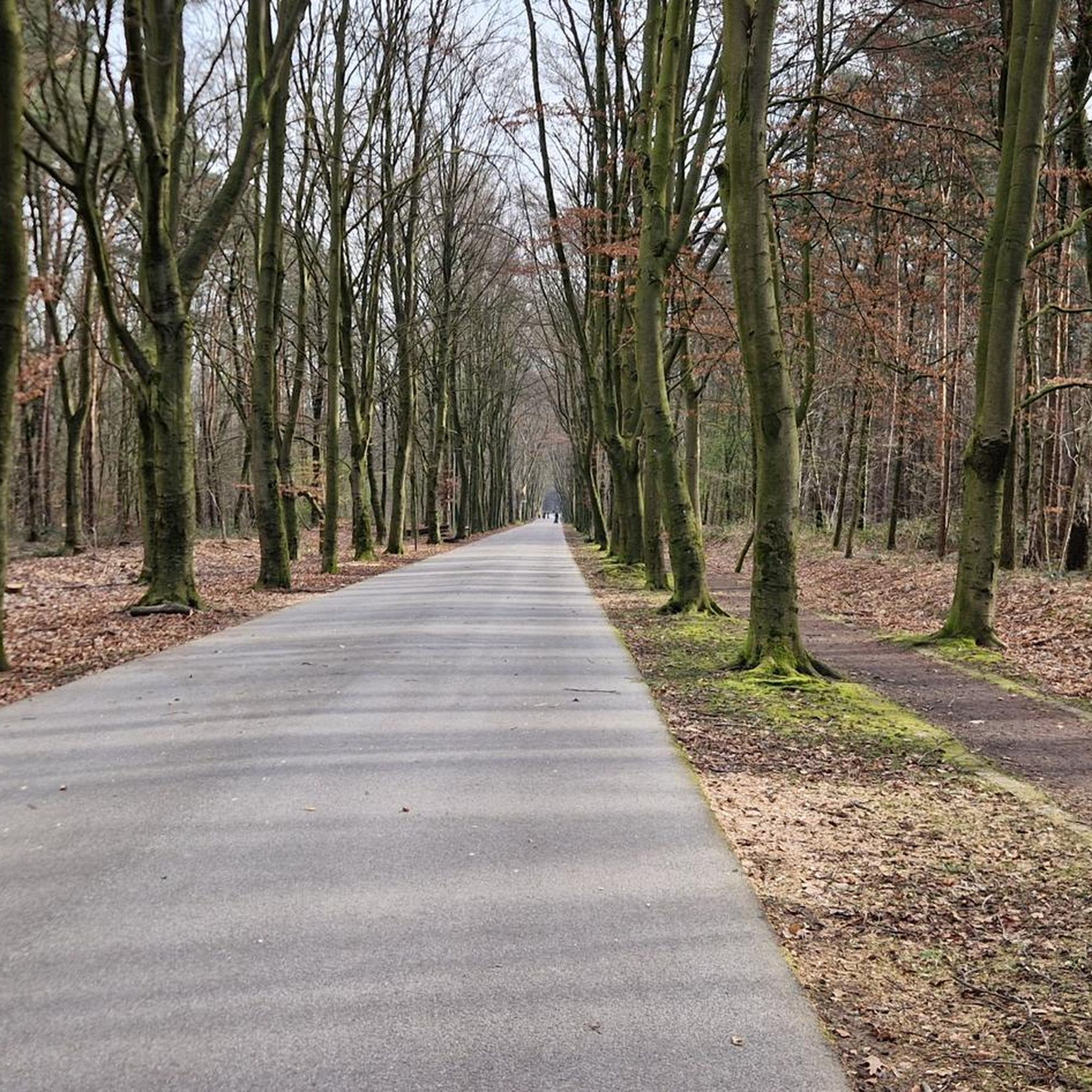
This route is on the former railway line 64 between Roeselare and Ypres. The section from the Ring of Roeselare to Zonnebeke was redeveloped into an ecologically valuable, recreational connection.
0
0
자주 묻는 질문
Staden 주변에는 교통량이 없는 자갈길 자전거 코스가 몇 개나 있나요?
이 가이드에는 Staden 지역을 위한 3개의 전용 교통량 없는 자갈길 자전거 코스가 상세히 설명되어 있으며, 난이도는 쉬움부터 보통까지 다양합니다. 이 코스들은 차량 방해 없이 지역을 탐험할 수 있는 좋은 방법을 제공합니다.
Staden 근처의 이 자갈길 자전거 코스에서는 어떤 종류의 지형을 예상할 수 있나요?
Staden 주변의 교통량 없는 자갈길 자전거 코스는 주로 들길과 조용한 시골길로 이루어져 있습니다. 고도 변화는 일반적으로 완만하며, Roeselare에서 출발하는 Tyne Cot Cemetery 루프와 같은 코스는 55km에 약 220m의 상승 고도를 가지고 있어 편안한 라이딩에 적합합니다.
Staden 지역에 가족 친화적인 교통량 없는 자갈길 코스가 있나요?
네, Roeselare에서 출발하는 Kezelbergroute 자전거 도로 – De Grote Macht 풍차 (1817) 루프는 최소한의 고도 상승을 가진 쉬운 36km 코스로, 차량 없는 자갈길 자전거 경험을 찾는 가족들에게 훌륭한 선택입니다.
교통량 없는 자갈길을 따라 어떤 흥미로운 랜드마크나 전망대를 찾을 수 있나요?
많은 코스가 중요한 역사 유적지와 자연 경관을 지나갑니다. 예를 들어, Roeselare에서 출발하는 Tyne Cot Cemetery 루프는 애잔한 Tyne Cot Cemetery를 지나갑니다. 더 넓은 지역의 다른 하이라이트로는 The Blankaart 전망대와 Polygon Wood가 있으며, 역사적 맥락과 자연의 아름다움을 모두 제공합니다.
순환형 교통량 없는 자갈길 자전거 코스가 있나요?
이 가이드에 나열된 모든 교통량 없는 자갈길 자전거 코스는 순환 코스로, 시작점과 끝점이 동일합니다. 여기에는 Diksmuide에서 출발하는 Paddestraat (Beerst–Diksmuide) – Atheneum Path 루프와 같은 옵션이 포함되며, 이는 중간 정도의 43km 루프를 제공합니다.
Staden 주변에서 자갈길 자전거를 타기에 가장 좋은 시기는 언제인가요?
벨기에 서플랑드르에 위치한 Staden 지역은 일반적으로 봄부터 가을까지 쾌적한 자갈길 자전거 조건을 제공합니다. 완만한 고도와 잘 관리된 길 덕분에 대부분의 날씨에서 즐길 수 있지만, 특히 비포장 구간의 경우 항상 현지 예보를 확인하는 것이 좋습니다.
Staden 주변의 교통량 없는 자갈길은 초보자에게 적합한가요?
네, 초보자에게 적합한 코스가 있습니다. Roeselare에서 출발하는 Kezelbergroute 자전거 도로 – De Grote Macht 풍차 (1817) 루프는 쉬움으로 분류되어 자갈길 자전거를 처음 타거나 편안한 라이딩을 원하는 사람들에게 훌륭한 선택입니다.
다른 자갈길 자전거 이용자들이 Staden의 교통량 없는 코스에서 가장 좋아하는 점은 무엇인가요?
komoot 커뮤니티는 이 지역의 코스에 대해 평균 4.8점의 높은 점수를 부여하고 있습니다. 리뷰어들은 종종 차량이 없는 길의 평온함, 플랑드르 시골의 아름다운 경치, 그리고 Tyne Cot Cemetery와 같은 역사 유적지를 발견할 기회를 칭찬합니다.
Staden 근처에 더 길고 도전적인 교통량 없는 자갈길 코스가 있나요?
더 길고 중간 정도의 도전적인 라이딩을 원한다면, Ledegem에서 출발하는 자갈 들길과 아름다운 경치 – Polygoonbos 루프를 고려해 보세요. 이 코스는 63km 이상이며 약 300m의 상승 고도를 가지고 있어 지역의 자갈길을 더 광범위하게 탐험할 수 있습니다.
이 코스를 따라 카페나 휴식 장소를 찾을 수 있나요?
모든 코스에 특정 카페가 강조되어 있지는 않지만, 코스는 종종 서플랑드르의 작은 마을이나 도시를 지나거나 근처에 있어 일반적으로 지역 상점에서 음료를 즐길 수 있습니다. 특히 장거리 라이딩의 경우, 미리 휴식 장소를 계획하는 것이 좋습니다.
이 교통량 없는 자갈길 코스의 출발 지점에 주차가 가능한가요?
이 코스 중 상당수가 Roeselare, Diksmuide, Zonnebeke 또는 Ledegem과 같은 도시에서 시작하므로, 일반적으로 공영 주차 시설을 이용할 수 있습니다. 라이딩 전에 이 출발 지점의 현지 주차 옵션을 확인하는 것이 좋습니다.


