4의 리세르바 디 코르나키아이아가지 명소 & 주요 장소
Riserva di Cornacchiaia 주변 최고의 명소 및 볼거리입니다. 피사 근처 미글리아리노 산 로소레 마사추콜리 지역 공원에 위치한 이 89헥타르 규모의 WWF 오아시스는 중요한 자연 지역입니다. 고대 모래 언덕(톰볼리)과 침수된 저지대(라메)의 독특한 풍경을 특징으로 하며, 굴참나무와 물푸레나무 숲을 포함한 다양한 생태계를 지원합니다. 이 보호 구역은 유네스코 '토스카나 해안 숲' 생물권 보전지역의 핵심 지역이자 람사르 협약 사이트로서 생태학적 중요성을 인정받고 있습니다.
Riserva di Cornacchiaia 주변 최고의 명소 및 볼거리
- 가장 인기 있는 명소는 나비첼리 운하를 따라 이어지는 자전거 도로인 나비첼리 자전거 도로…
마지막 업데이트: 10월 4, 2026
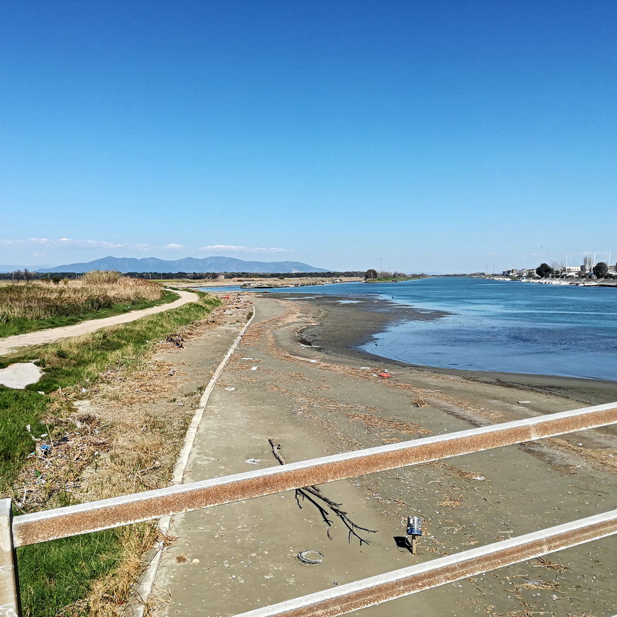
나비첼리 자전거길 남쪽 구간
하이라이트 (구간) • 자전거 도로
팁에 의해

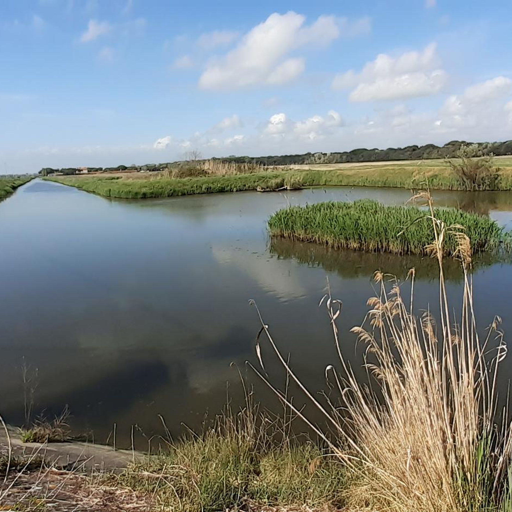
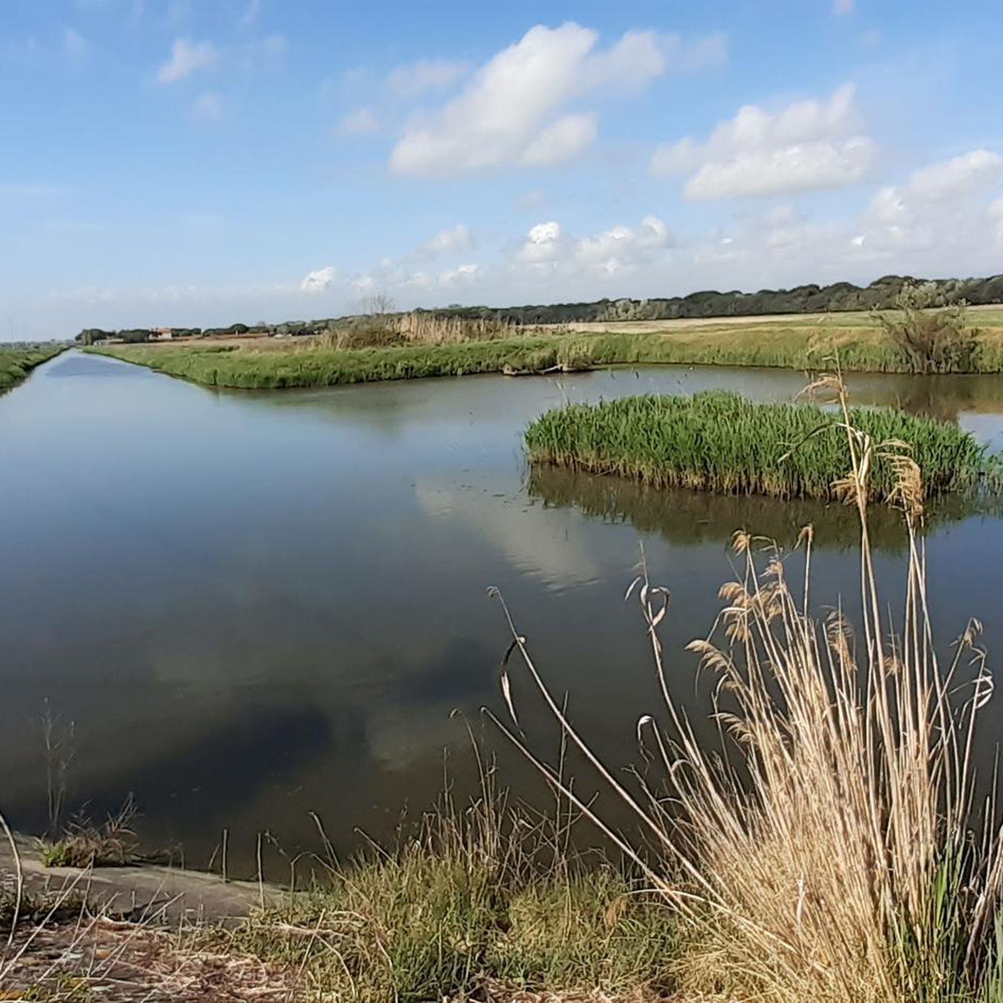
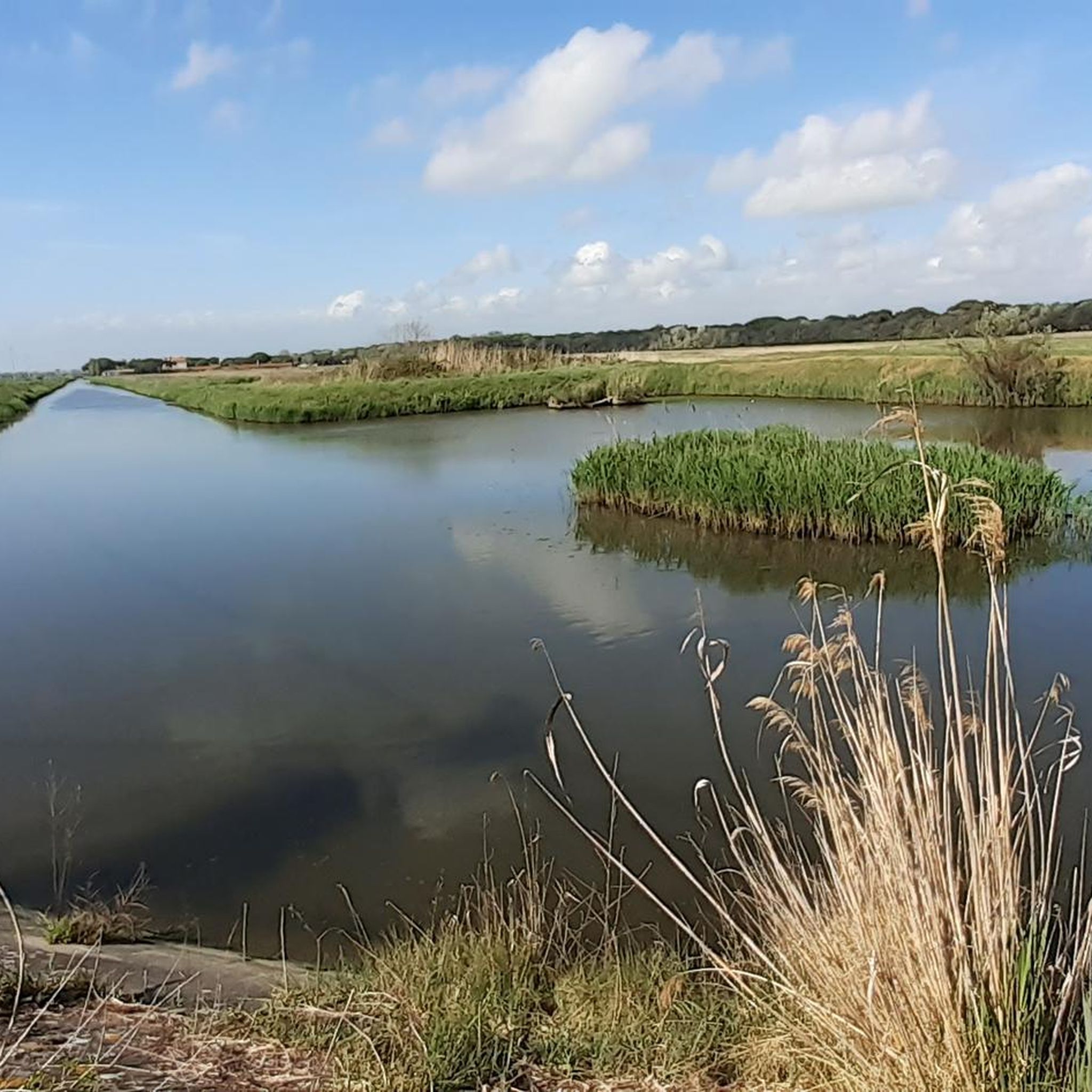
칼람브로네 분지(리보르노)로 흘러드는 운하들
하이라이트 (구간) • 강
팁에 의해
이런 장소를 발견하려면 지금 가입하세요
최고의 싱글 트랙, 봉우리 및 다양한 흥미로운 야외 장소에 대한 추천을 받아보세요.
Riserva di Cornacchiaia 산책로에 쓰러진 나무
하이라이트 • 자연
팁에 의해

코르나키아이아 군사 구역을 따라 이어지는 자갈길
하이라이트 (구간) • 트레일
팁에 의해
나비첼리 운하 비포장길
하이라이트 • 자전거 도로
번역문 보기
팁에 의해

오늘 무료 계정으로 시작하세요
다음 모험이 기다리고 있어요.

커뮤니티 팁

이 지점에 도착하면 Fossa Chiara 운하의 비포장 도로로 돌아가기 위해 철도를 건널 수 없습니다. 되돌아가서 Aurelia Sud로 가야 합니다.
0
0

No problem, you will perfectly fit underneath with your bike! Generally recommendable to have a second person here to help, but also okay without. Better than alternative tracks.
0
0
Highly recommend the path between Pisa-Livorno. Cycling for the main part next to a military area, but it is still chill to do and the alternative pathes are not really enjoyable.
0
0

Popular unpaved dirt bike route. If it rains there is a lot of mud. Along the canal you meet the shipyards on the other side. At some point it will be necessary to change route because if you follow the road only and exclusively, you will end up in a blind spot at the mouth of the canal.
0
0

The Navicelli cycle path can be divided into two parts: the first begins in Pisa (with the Via di Viaccia, near Porta a Mare) and runs along the right bank of the canal heading south for over 7 km, up to the mobile bridge of Tombolo. The second stretch, after having bypassed some industrial warehouses, continues for almost 8 km along the left bank of the canal up to a tongue of land that extends into a large basin; here the waters of other canals meet those of the spillway before flowing into the sea. The obligatory return, regardless of the final destination, is up to the Tombolo bridge. Both sections consist of dirt paths (with gravel sections in the first part) but of poor maintenance and therefore mainly suitable for mountainbikes.
1
0
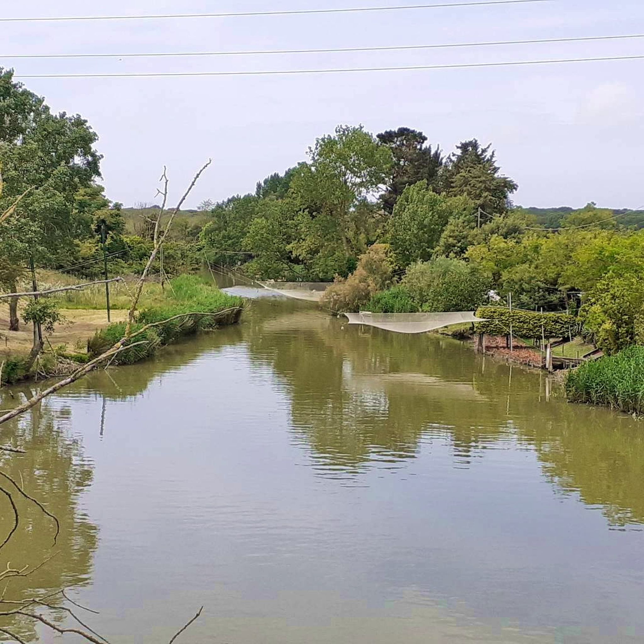
The area east of the Calambrone (on the border between Pisa and Livorno and bordering the Regional Park of Migliarino San Rossore Massaciuccoli) is a humid environment, thanks to the presence of canals, and therefore rich in biodiversity, despite the negative human interventions of the past (for agriculture, urbanization, seaside tourism, pollution). It is crossed not only by the Navicelli cycle path, but also by a network of footpaths in the greenery, suitable above all for adventurous hikers There are many artificial waterways that flow into the sea at the Calambrone: the Scolmatore (spillway channel), the Fosso Reale (coming from the historic center of Livorno), the Canale dei Navicelli (which connects Pisa with Livorno), Fossa Chiara (or Arnaccio), the emissary channel of Lake Bientina. Emissary channel of Lake Bientina In the natural depression between the Cerbaie hilly group, the Pizzorne reliefs and the Arno river, near the present city of Bientina, an ancient lake extended (the largest in Tuscany). To obtain arable land, the Grand Duke of Tuscany Cosimo dei Medici decided to drain it, starting the reclamation work, which was then completed under the Lorraine dynasty in 1859. The waters of this vast wet area were conveyed into an artificial stream. , the so-called Imperial Canal, which initially flowed into the Arno; subsequently by means of an underground tunnel, its waters were made to pass under the Arno and directed towards the sea, with the name of Canale emissario di Bientina, making them flow out at the mouth of the "Scolmatore" near the Calambrone. Fossa Chiara In the plain between Pisa, Cascina and Livorno, historically humid and subject to continuous floods, the Arnaccio was an ancient ditch intended to protect the Pisan and Livorno plains. Thanks to a system of canals to drain surface waters, the situation improved considerably under the Lorraine dynasty, the riverbed of the ancient Arnaccio was buried to build the road of the same name over it and two new channels were created on its sides, the Fossa Chiara and the Bientina emissary canal.
1
0
자주 묻는 질문
Riserva di Cornacchiaia 주변에서 어떤 자연 환경을 기대할 수 있나요?
Riserva di Cornacchiaia 주변 지역은 Migliarino San Rossore Massaciuccoli 지역 공원의 일부인 독특한 해안 평야 숲입니다. "톰볼리(tomboli)"로 알려진 고대 사구와 "라메(lame)"라고 불리는 물에 잠긴 저지대의 독특한 풍경을 특징으로 합니다. 이러한 서식지는 상록 참나무 숲, 수백 년 된 소나무, 습한 지역의 순수 물푸레나무 숲을 포함한 다양한 동식물을 지원합니다. 또한 생태학적 중요성을 강조하는 유네스코 생물권 보전지역 및 람사르 습지 사이트로 지정되었습니다.
Riserva di Cornacchiaia 지역에서 어떤 야생 동물을 관찰할 수 있나요?
Riserva di Cornacchiaia는 생물 다양성이 풍부합니다. 노루사슴, 멧돼지, 여우, 오소리, 다람쥐, 잠쥐, 호저, 늪 거북 등을 볼 수 있습니다. 조류 관찰자들은 녹색 딱따구리, 큰점박이 딱따구리, 어치, 벌잡이새 및 기타 다양한 명금류와 물새를 찾아볼 수 있습니다. 유럽 늪 거북을 관찰할 수 있는 곳을 포함하여 전용 야생 동물 관측소가 있습니다.
Riserva di Cornacchiaia 내에 하이킹 트레일이 있나요?
네, 이 오아시스는 공원의 하이킹 네트워크 일부인 길로 crisscrossed되어 있으며 공식 CAI(이탈리아 산악 연맹) 표지판으로 표시되어 있습니다. 이 트레일에는 종종 지역 동식물에 대한 설명판이 있습니다. 보다 체계적인 하이킹 옵션을 위해, "Calambrone에서 Riserva di Cornacchiaia 루프"와 같은 적당한 루프를 포함하는 Riserva di Cornacchiaia 주변 버스 정류장에서 출발하는 하이킹을 탐색할 수 있습니다.
Riserva di Cornacchiaia 근처에 어떤 사이클링 기회가 있나요?
이 지역은 여러 사이클링 경로를 제공하며, 인기 있는 비포장 자갈길로 산악 자전거에 적합한 Navicelli 자전거 도로의 남쪽 구간이 있습니다. 또 다른 옵션은 피사와 리보르노 사이를 편안하게 라이딩하는 데 권장되는 Cornacchiaia 군사 구역을 따라가는 자갈길입니다. 더 많은 옵션을 보려면 Riserva di Cornacchiaia 주변의 교통 없는 자전거 라이딩을 확인하세요.
이 지역의 주목할 만한 수역은 무엇인가요?
이 지역은 수많은 담수 운하와 독특한 원형 연못으로 특징지어집니다. Calambrone 분지(리보르노)로 흘러드는 운하는 생물 다양성이 풍부한 습한 환경을 조성합니다. 여기에는 Scolmatore, Fosso Reale, Canale dei Navicelli, Fossa Chiara 및 Lake Bientina의 배수 운하와 같은 인공 수로가 포함되며, 이 모든 것이 이 지역의 독특한 자연적 특성에 기여합니다.
보호 구역 내에 방문객을 위한 특정 관심 지점이나 시설이 있나요?
네, WWF 오아시스 보스코 디 콘나키아이아(WWF Oasis Bosco di Cornacchiaia)는 여러 편의 시설을 제공합니다. 설명판이 있는 하이킹 트레일, 전용 야생 동물 관측소(늪 거북 관측소 포함), 휴식을 위한 대형 목조 정자, 그리고 지역 환경, 동식물에 대한 통찰력을 제공하는 보호 구역 전반에 걸친 정보 패널을 찾을 수 있습니다.
Riserva di Cornacchiaia를 방문하기 가장 좋은 시기는 언제인가요?
이 보호 구역은 특히 겨울철에 "라메(lame)"(사구 사이의 저지대)가 침수되어 장엄한 순수 너도밤나무 숲으로 변모할 때 매우 인상적입니다. 하지만 풍부한 생물 다양성과 하이킹 트레일 덕분에 연중 자연 애호가들에게 즐거움을 선사합니다. 봄과 가을에는 쾌적한 기온에서 트레일을 탐험하고 야생 동물을 관찰하기 좋습니다.
Riserva di Cornacchiaia 주변 트레일에 어려운 구간이 있나요?
일부 길, 특히 나비첼리(Navicelli) 자전거 도로의 비포장 구간은 비가 온 후 진흙탕이 되어 산악 자전거에 더 적합할 수 있습니다. 대부분의 트레일은 일반적으로 접근 가능하지만, Riserva di Cornacchiaia의 길 위의 쓰러진 나무와 같은 자연 장애물을 만날 수 있으며, 이는 보통 자전거로도 통행 가능합니다.
Riserva di Cornacchiaia 근처에 폭포 하이킹 코스가 있나요?
이 지역은 해안 평야와 운하로 유명하지만, 조금 더 떨어진 곳에는 Riserva di Cornacchiaia 주변의 폭포 하이킹 코스가 있습니다. 여기에는 "아쿠에독토 레오폴디노(Acquedotto Leopoldino)에서 출발하는 인페르나치오(Infernaccio) 작은 폭포 루프"와 같은 쉽거나 보통 난이도의 코스가 포함됩니다.
Riserva di Cornacchiaia는 문화적으로 어떤 의미가 있나요?
Riserva di Cornacchiaia의 주요 문화적 중요성은 보호받는 자연 유산지로서의 역할에 있습니다. 이곳은 Migliarino San Rossore Massaciuccoli 공원의 가장 손길이 닿지 않은 지역 중 하나를 보존하려는 성공적인 노력을 보여줍니다. 환경 교육과 지속 가능한 관광을 강조하며, 종종 WWF 회원들이 이끄는 가이드 투어를 통해 자연의 경이로움에 대한 이해를 심화시킵니다.
보호 구역 근처에서 자전거를 타거나 하이킹할 때 주의해야 할 지역이 있나요?
자전거를 탈 때는 나비첼리(Navicelli) 자전거 도로와 같은 일부 길이 비포장이며 비가 온 후 진흙탕이 될 수 있다는 점에 유의하십시오. 또한, Cornacchiaia 군사 지역을 따라가는 자갈길의 일부는 군사 지역 옆으로 지나가지만, 일반적으로 즐거운 라이딩 코스입니다. 나비첼리(Navicelli) 운하 자갈길에는 철도를 건널 수 없는 지점이 있어 되돌아가 대체 경로를 이용해야 합니다.
리세르바 디 코르나키아이아 주변에서 가장 인기 있는 경로


더 살펴보기
찾고 있는 하이라이트를 아직 못 찾으셨나요? 다른 지역의 주요 명소 가이드를 확인해보세요:
