20의 네이처파크 간트리쉬가지 명소 & 주요 장소
네이처파크 간트리쉬에는 둘러볼 만한 장소가 많답니다. 하이킹 또는 사이클링을 좋아한다면 네이처파크 간트리쉬에 숨겨진 20
가지 보석을 만날 수 있을 거예요. 이 지역의 주요 명소를 살펴보면서 다음 모험을 계획해보세요.
마지막 업데이트: 10월 9, 2026

이런 장소를 발견하려면 지금 가입하세요
최고의 싱글 트랙, 봉우리 및 다양한 흥미로운 야외 장소에 대한 추천을 받아보세요.
Gantrisch Lodge Gurnigel Berghaus
하이라이트 • 휴식 공간
Gurnigel Berghaus는 장기간의 리모델링을 거쳐 2026년 여름에 재개장을 축하합니다.
한때 군사 숙소였던 이곳은 이제 알파인 샬레 스타일로 빛나며 머물며 휴식을 취하도록 초대합니다.
번역문 보기
팁에 의해

아레강 위의 Schützenfahr 다리
하이라이트 • 다리
1st stage: 400m / average 08% / max.12%
2nd stage: 250m / average 11% / max.15-16%
번역자 Google •
팁에 의해


무료로 가입하여 네이처파크 간트리쉬 주변의 더 많은 명소를 발견하세요.
이미 komoot 계정이 있나요?
오늘 무료 계정으로 시작하세요
다음 모험이 기다리고 있어요.
네이처파크 간트리쉬 주변 인기 장소
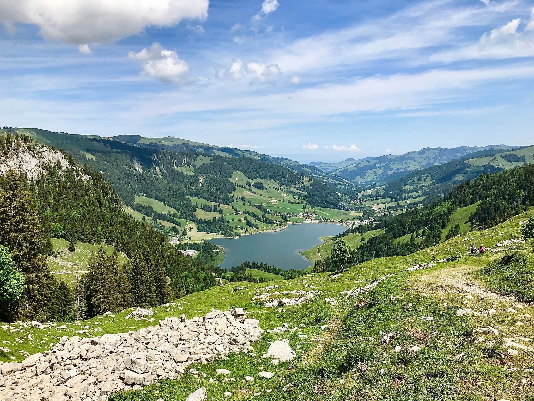
언어 경계 따라 하이킹 – 프라이부르크 선행 알프스 트레일

산에 눈을 떠보세요 - 스위스의 알프스 전망 트레일

스위스를 가로지르는 야곱의 순례길
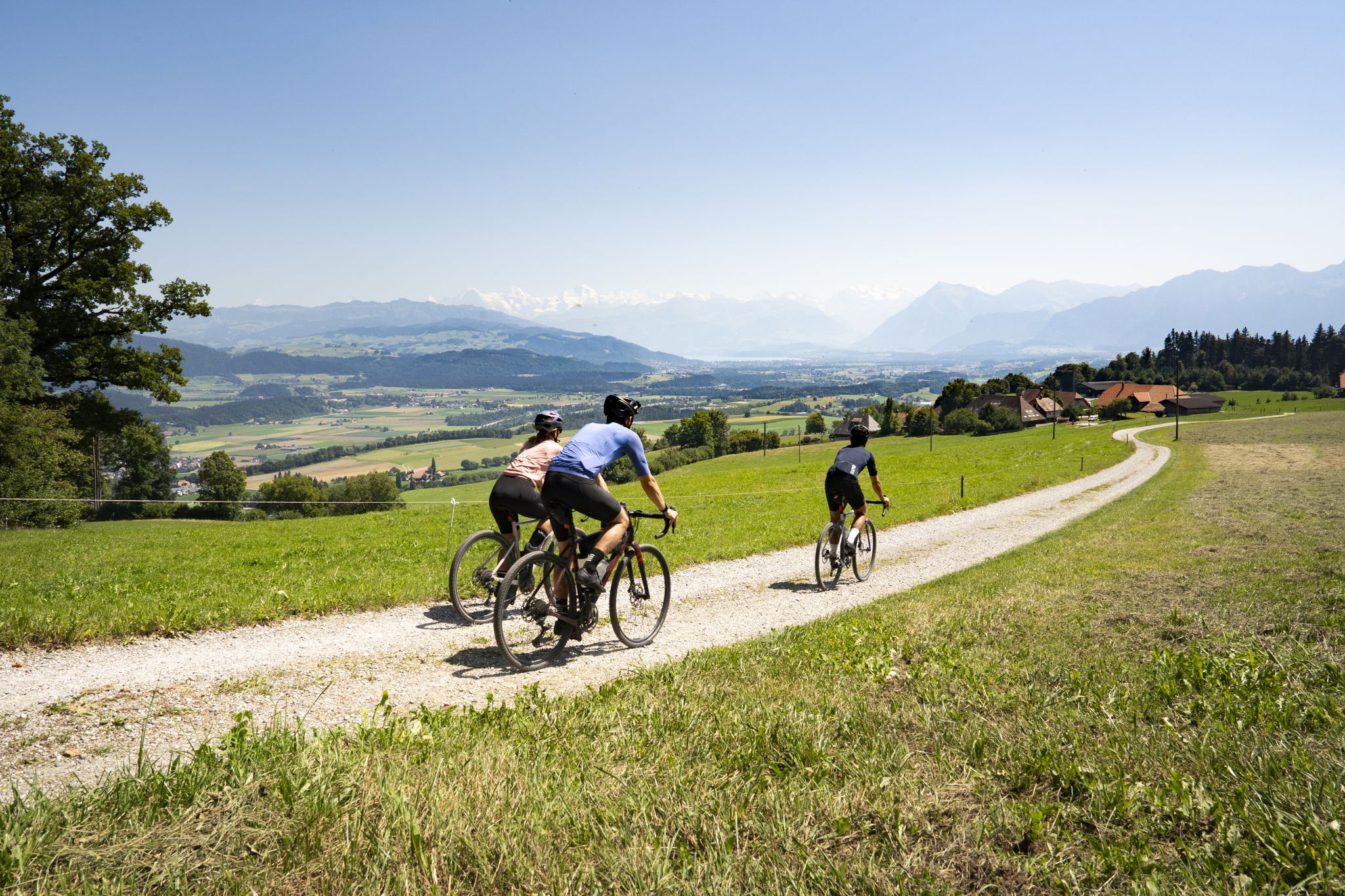
Gravel roads and Alpine views – gravel riding in the Gantrisch Nature Park
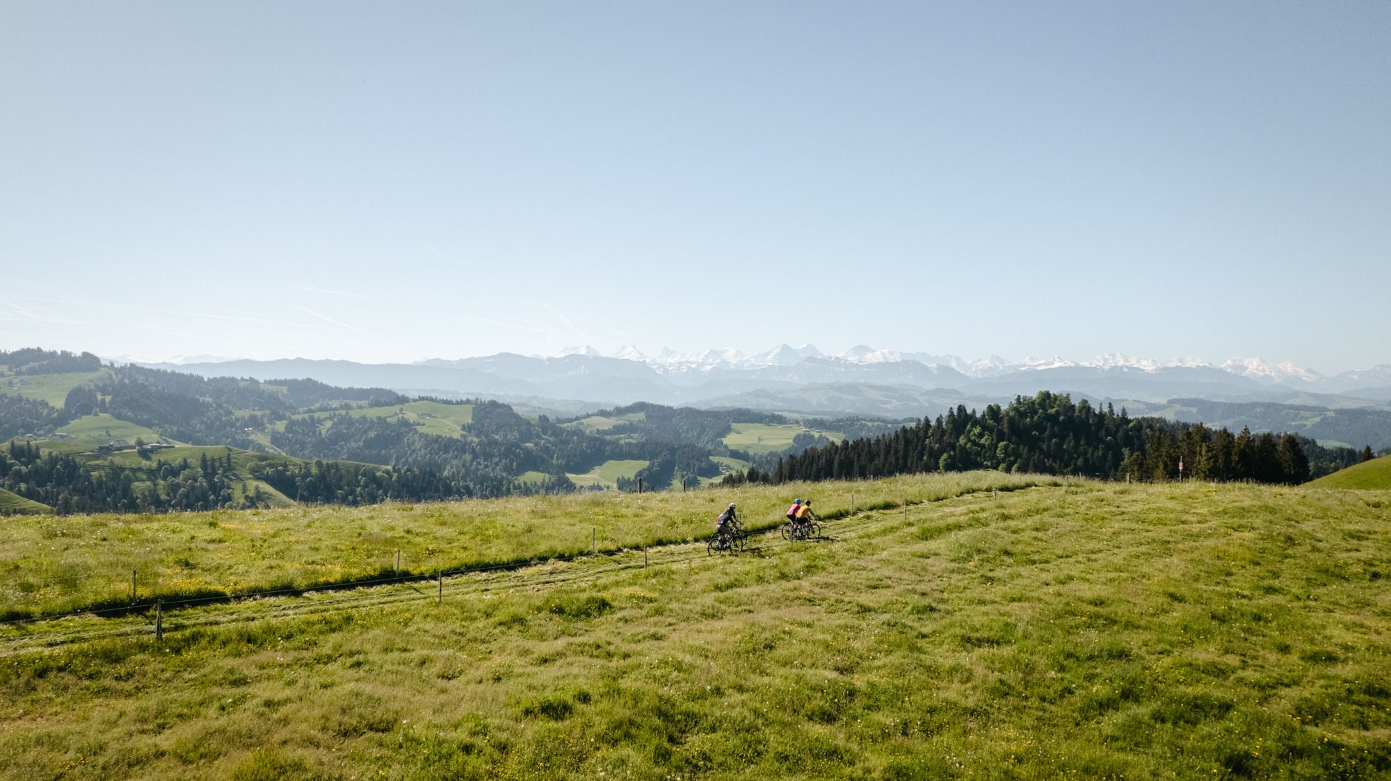
Gravel-Touren mitten in der Schweiz – die aussichtsreichsten Routen in Bern
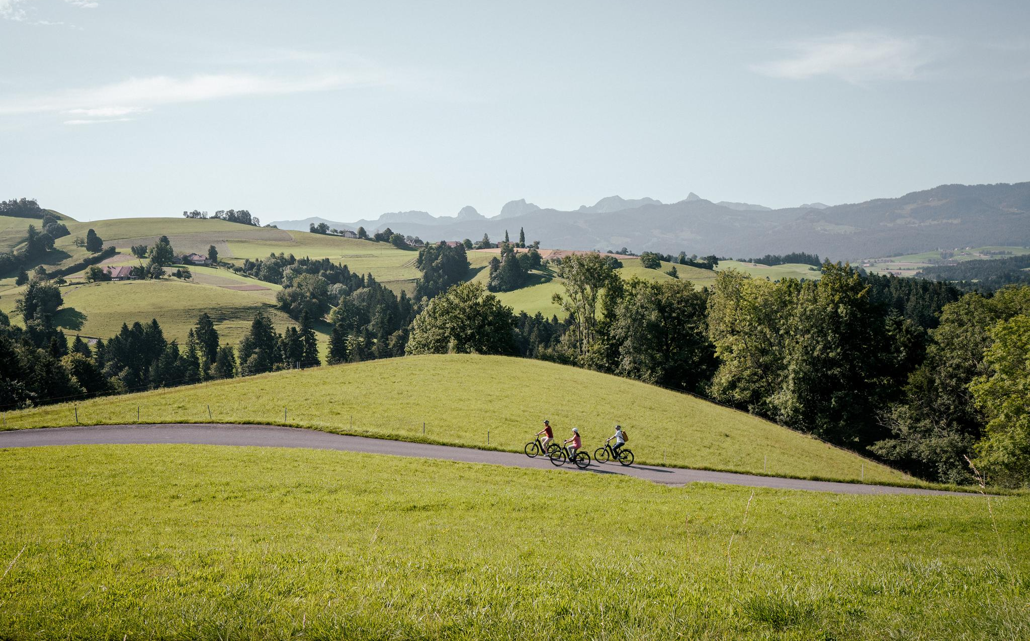
이베이크 타기 스위스 중심부 – 베른에서 탑 10 루트
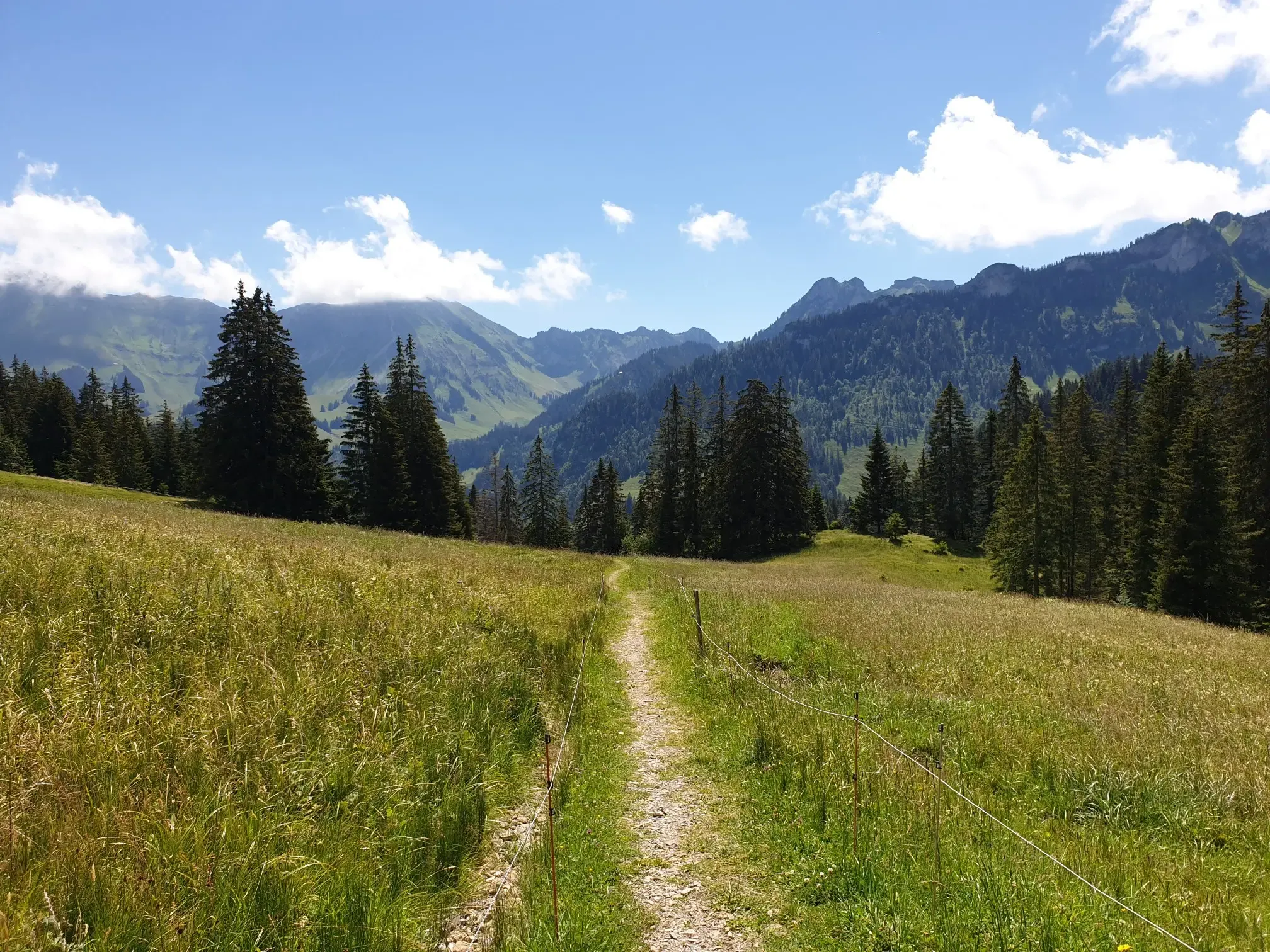
Peaks, Trails and Fun – MTB in the foothills of the Freiburg Prealps
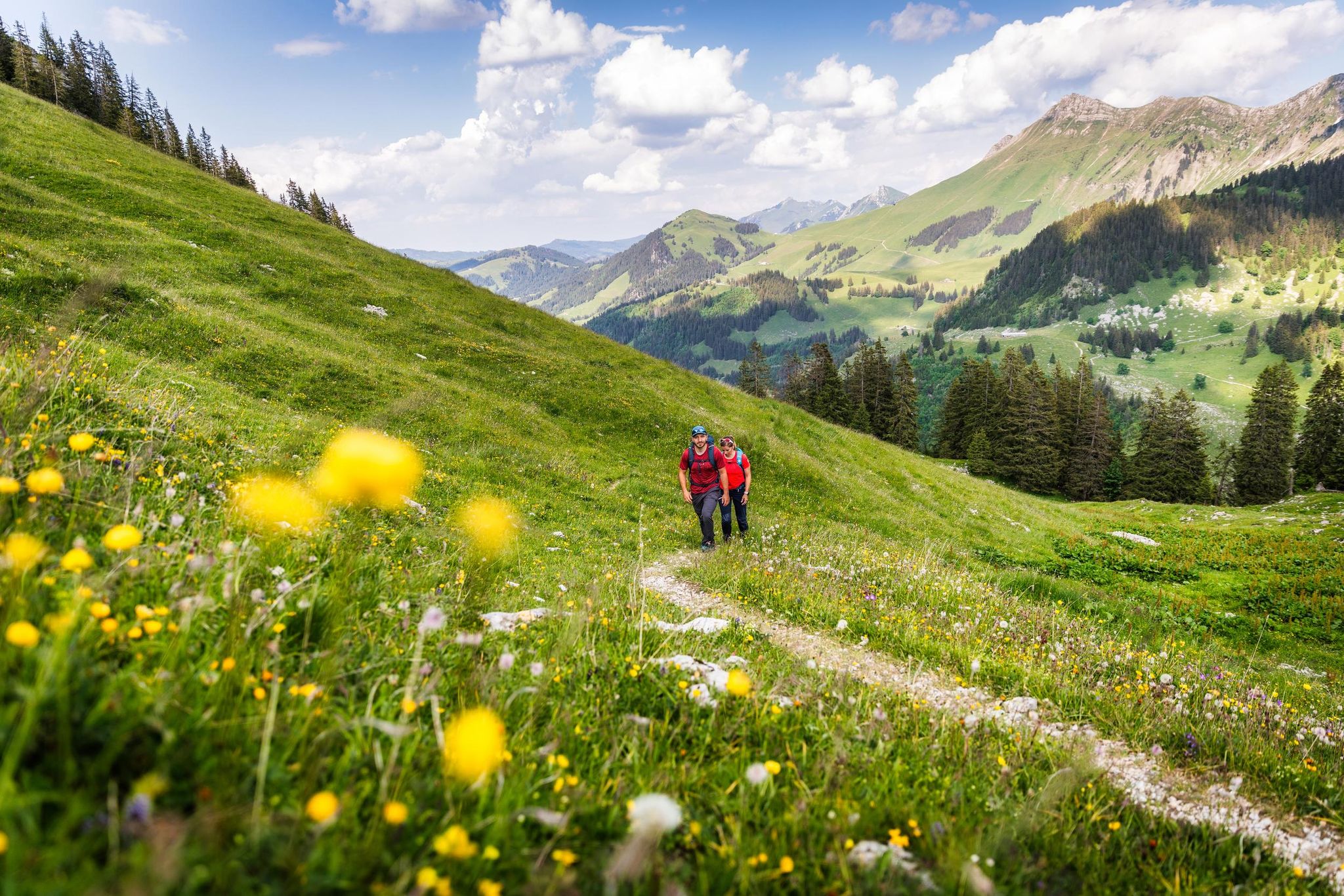
Your summer hikes in the Fribourg Region
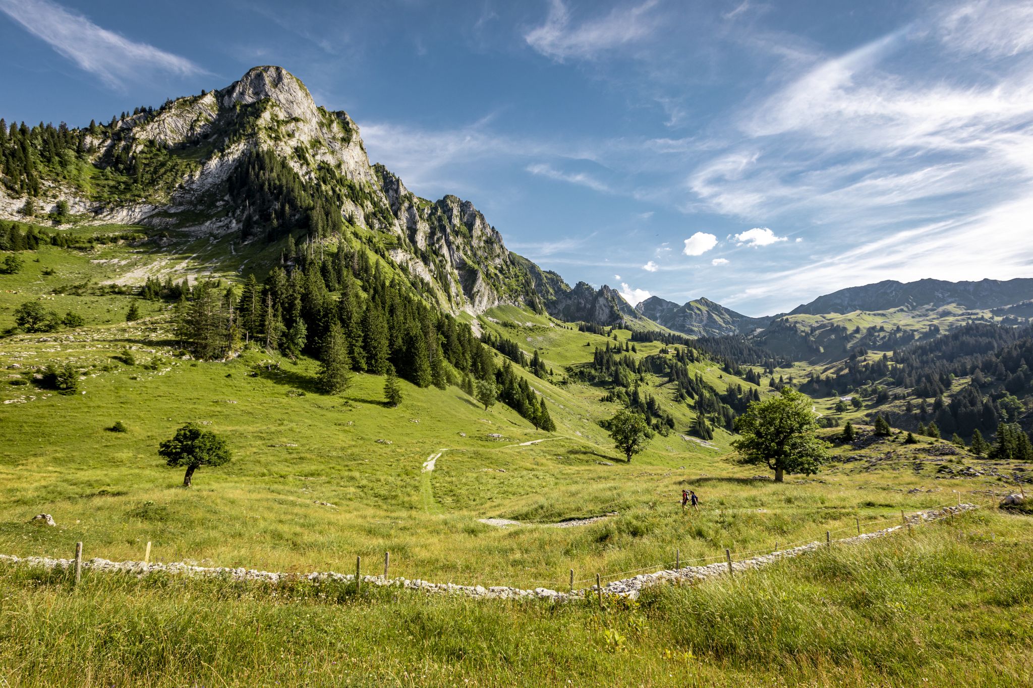
Stock과 Stein을 넘어 - Freiburger Voralpenweg
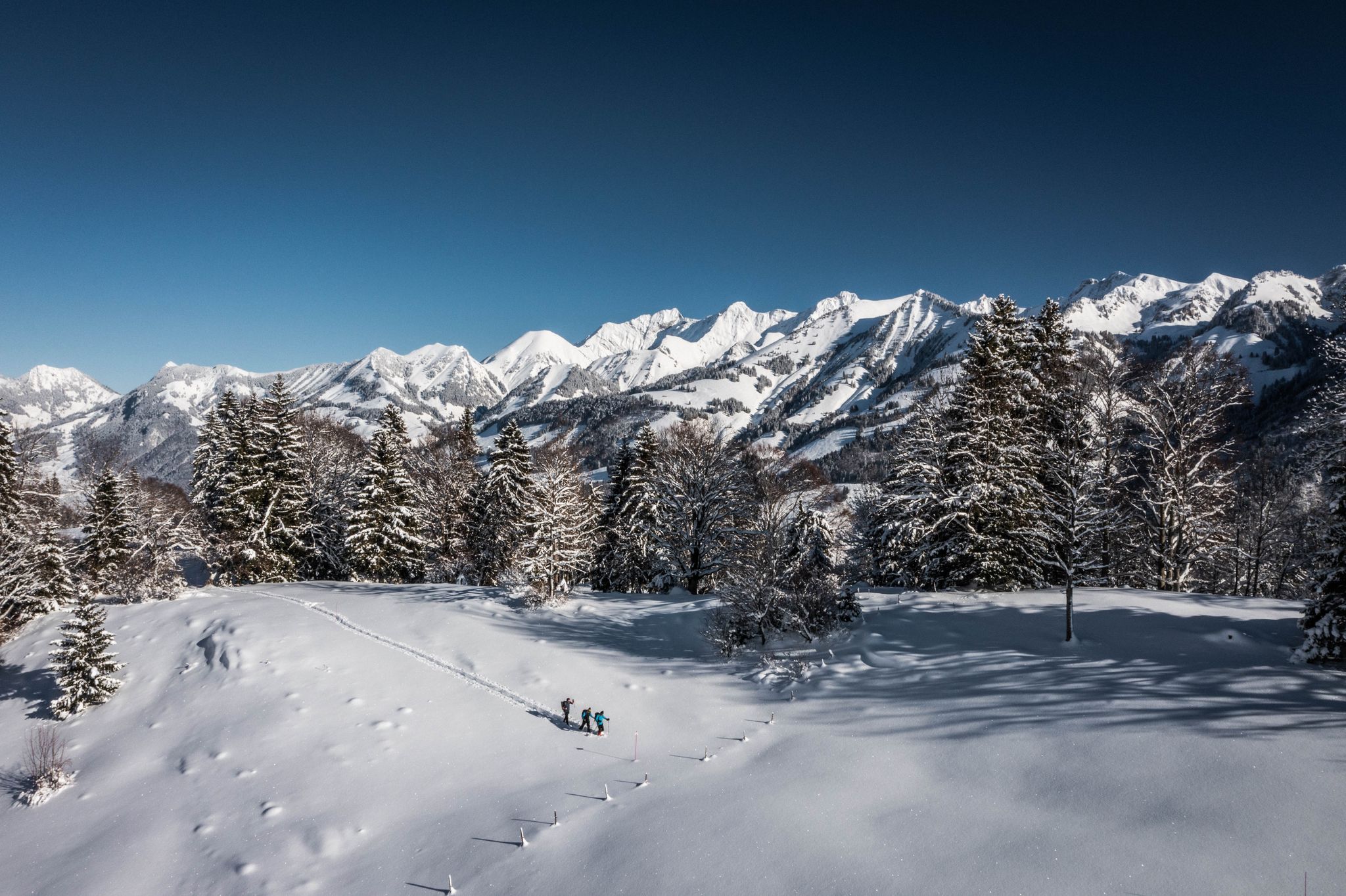
White landscapes – hiking on snowshoes in the Swiss canton of Fribourg


커뮤니티 팁

*** 2026년 8월 1일 신규 오픈 *** Gurnigel Berghaus는 장기간의 리모델링을 거쳐 2026년 여름에 재개장을 축하합니다. 한때 군사 숙소였던 이곳은 이제 알파인 샬레 스타일로 빛나며 머물며 휴식을 취하도록 초대합니다. Gurnigel Berghaus는 광범위하게 개조되었습니다. 많은 재료는 Gstaad의 이전 Park-Hotel에서 가져왔습니다. 새로 개조된 Berghaus에는 호텔 객실, 스튜디오, 로프트 및 아파트와 같은 27개의 숙박 시설이 있습니다. „여름에는 그래블 바이크 라이더, 겨울에는 스키어 또는 크로스컨트리 스키어, 그리고 기업 및 축하 행사를 환영하게 되어 기쁩니다. 기본적으로 Gantrisch 지역의 서비스는 제대로 휴식을 취하고 싶은 자연 애호가들을 대상으로 합니다. 스포츠를 통해서든 편안한 숙박을 통해서든 말입니다.“
1
0

It's always nice to cross passes that offer new vistas and allow you to step from one world into another. The Leitere Pass is one of those. Coming from Stockhort, you've got the last few meters of the tour to Gurnigel ahead of you, and you can perhaps look forward to a glass of milk or a cheese at Nünenealp. Or you're on your way toward Stockhorn and see the varied trail via Hohmad, Chatz & Mus, and Walalp for the first time. Yes, it is a beautiful place.
1
0

Unfortunately, the summit climb was difficult at the end of May due to the snow-covered Kaiseregg Pass. In spring, with persistent snow, it's only recommended for experienced and/or well-equipped hikers. Crampons and poles were a must for me!
1
0

A very worthwhile summit with a great view that you have to work hard to reach... there is also a climbing route that leads up here... but because of the amazing view you are rarely alone
1
0
From here, numerous worthwhile paths lead off... the further climb up to the Gantrisch summit is very worthwhile
2
0

My local mountain. Wonderful views of the Alps, the Mittelland and the Jura.
2
3

perceived meeting point for all motorcycle and car enthusiasts... there is no peace here.
1
0
네이처파크 간트리쉬 주변에서 가장 인기 있는 경로
네이처파크 간트리쉬 주변에서 가장 인기 있는 명소


더 살펴보기
찾고 있는 하이라이트를 아직 못 찾으셨나요? 다른 지역의 주요 명소 가이드를 확인해보세요:
