블라우펠덴 주변 최고의 가족 하이킹 & 워킹 코스
4.5
(6449)
25,199
등산객
74
하이킹
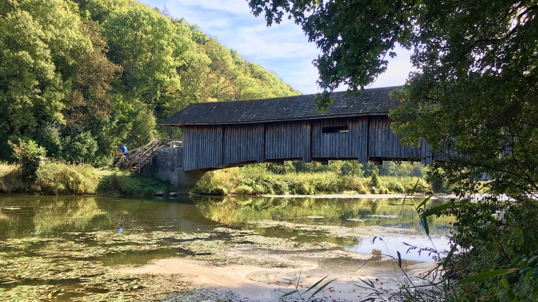
가족 친화적인 하이킹 트레일은 호엔로에 지역의 다양한 풍경 속에 자리 잡고 있으며, 완만하고 구불구불한 언덕과 그림 같은 강 계곡이 특징입니다. 이 지역은 혼합림과 조용한 개울이 있어 야외 활동에 평화로운 환경을 제공합니다. 하이커들은 점진적인 오르막과 내리막을 포함한 다양한 지형을 탐험할 수 있으며, 시골 전역의 경치 좋은 전망을 제공합니다. 이 지역에는 블라우바흐 저수지와 같은 자연 지형도 포함되어 있어 하이킹 기회에 고요한 물가 산책로가 더해집니다.
블라우펠덴 주변 최고의 가족 친화적인 하이킹 트레일
- 가장 인기 있는 가족 친화적인 하이킹 경로는 부르크 헤르텐슈타인 출발, 뢰텔바흐탈…
마지막 업데이트: 10월 14, 2026
4.3
(32)
70
등산객
12.4km
03:25
210m
210m
보통 하이킹. 좋은 체력 필요. 실력과 관계없이 누구나 쉽게 갈 수 있는 길.
4.8
(14)
46
등산객
5.29km
01:25
60m
60m
초급용 하이킹. 모든 체력 수준에 적합. 실력과 관계없이 누구나 쉽게 갈 수 있는 길.

4.5
(13)
51
등산객
5.10km
01:22
60m
60m
초급용 하이킹. 모든 체력 수준에 적합. 실력과 관계없이 누구나 쉽게 갈 수 있는 길.
4.7
(9)
19
등산객
5.67km
01:29
50m
50m
초급용 하이킹. 모든 체력 수준에 적합. 실력과 관계없이 누구나 쉽게 갈 수 있는 길.
3.7
(3)
12
등산객
7.69km
02:05
100m
100m
보통 하이킹. 좋은 체력 필요. 실력과 관계없이 누구나 쉽게 갈 수 있는 길.
더 다양한 경로와 다른 탐험가들의 추천을 살펴보세요.
이미 komoot 계정이 있나요?
투어 추천은 다른 사람들이 komoot에서 완료한 수천 개의 활동을 바탕으로 구성되어 있습니다.
오늘 무료 계정으로 시작하세요
다음 모험이 기다리고 있어요.
블라우펠덴 주변 인기 장소
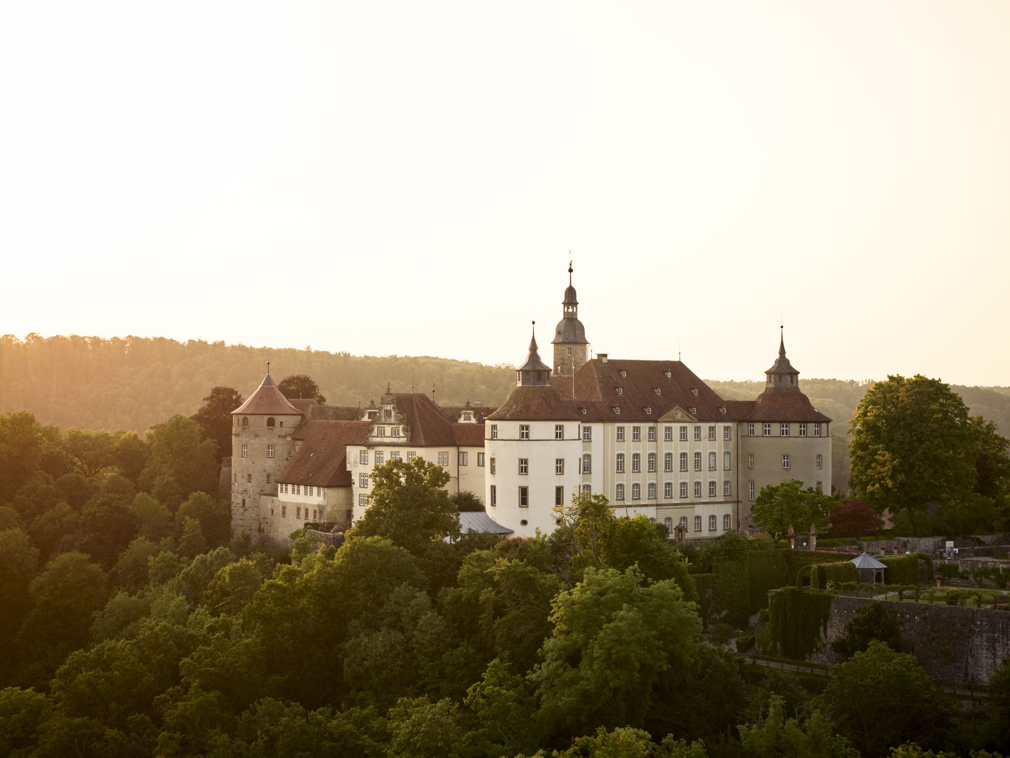
Where castles reign and palaces shine – cycling in the Süden ganz oben
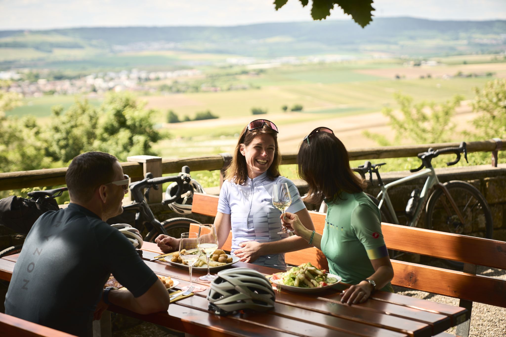
Cycling and local cuisine – pleasure rides in the Süden ganz oben
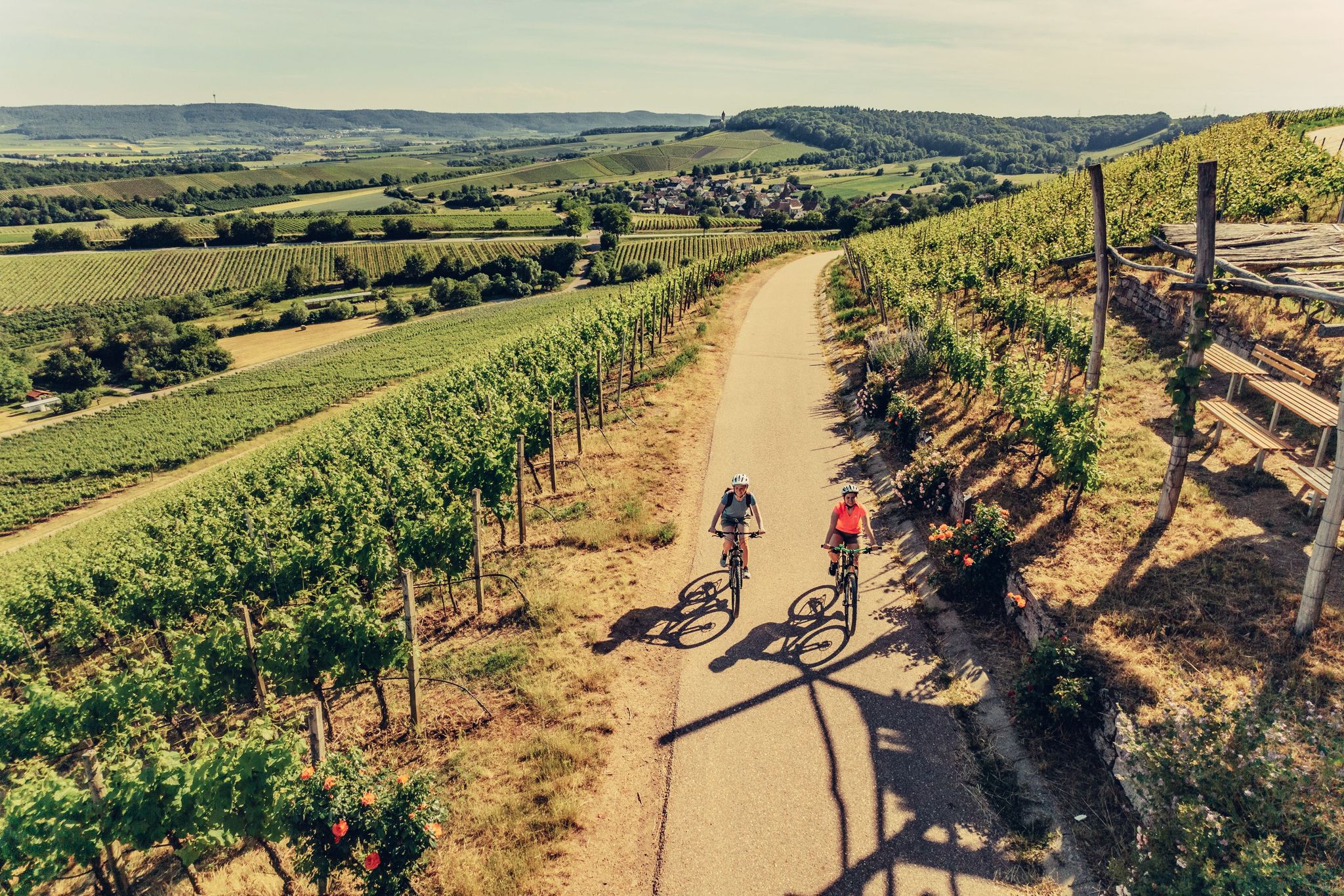
E-bike day Tours along the Tauber, Kocher, Jagst and Neckar rivers
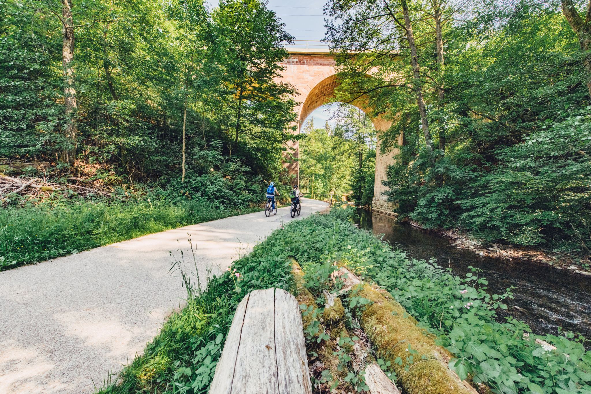
Weekend rides along the Kocher, Jagst and Neckar rivers in Germany
Kocher-Jagst-Trail – Naturerlebnis und Kulturgenuss im Herzen Hohenlohes
블라우펠덴 주변의 다른 모험


커뮤니티 팁

Long trousers and sturdy shoes are recommended as the hiking trail is overgrown with stinging nettles in places and leads through narrow, overgrown paths.
0
0


This is a great place to cool off when the weather is hot. Bring beach shoes! Great section that is easy to walk on.
0
0

Hertenstein Castle, located about 0.9 kilometers south-west of Billingsbach on a ledge, has also been removed. It lay above the so-called Geigersteige, which formed part of an old connection between Künzelsau and the Jagsttal to Schrozberg and Rothenburg. The origin of the castle can probably be dated to the early 13th century based on archaeological finds. However, the builders and early owners of the spur castle are unknown. The first known owner was probably Eberhard von Hertenstein, who acquired goods in Billingsbach from the Teutonic Order in 1318. These lords of Hertenstein are probably identical to the local noble lords of Billingsbach. Hertenstein Castle was last mentioned as a ruin in 1578 on the Schweickherren map of the Langenburg office. Ditches and remains of walls from the two-part complex can still be seen. In 1948 the base of the keep was uncovered.
3
2
You can find relatively little on the web about this castle ruin. The lords of Hertenstein Castle died out at the end of the 14th century. The castle was on a mountain spur and controlled a trade route from Künzelsau to Rothenburg. The castle lay on two plateaus which were probably connected by a wooden bridge. Around the castle was a 3-5m high moat protecting the south and east side. You can still see this very well. From the west and north side protection was provided by the steep mountain. Impressive are the large rocks in the moat, which are hewn very smoothly. Even today, a narrow path leads to the castle, which was suitable for a horse and carriage. One must assume that tolls were levied down in the valley and that this castle and its owners were eliminated relatively early on. On November 28th, the Margrave of Brandenburg (Ansbach) destroyed Herrentierbach and Raboldshausen in the Third Cities War. Hertenstein Castle may have been there at the time. Another possibility is the destruction of the castle in the 1st and 2nd city wars in 1381 and 1441. At that time, the League of Cities destroyed the castles, which were considered robber baron castles. Unfortunately, photos cannot show the elevation profile well. You only get the right impression live. You should have a look at that.
3
2

Wolves were still present in the area in the 17th to early 18th centuries. During the Thirty Years' War (1618-1648) they found many victims. In harsh winters, they found nothing to eat in nature. Males in particular, who roamed the area alone, found very little food. They then went into the villages and tried to break into stables. The peasants wanted to reduce the number of wolves. Man built wolf traps. These were covered with thick brushwood and parts of dead animals were placed in the middle. The smell attracted the wolves. When he got to the meat, the sticks broke in and he fell into the trap. A similar wolf trap can be found near Creglingen. I created a highlight for it.
7
3
자주 묻는 질문
블라우펠덴 주변에는 가족 친화적인 하이킹 코스가 얼마나 되나요?
블라우펠덴은 가족을 위해 특별히 엄선된 60개 이상의 코스를 포함하여 다양한 가족 친화적인 하이킹 코스를 제공합니다. 이 코스 중 다수는 쉬움 또는 보통 난이도로 평가되어 다양한 연령과 체력 수준에 적합합니다.
어린 자녀나 유모차를 동반한 가족에게 적합한 쉽고 짧은 산책로가 있나요?
네, 블라우펠덴에는 어린 자녀나 유모차를 동반한 가족에게 완벽한 쉽고 비교적 짧은 코스가 몇 가지 있습니다. 즐거운 산책을 위해, 5km가 조금 넘는 거리이며 잔잔한 물가 산책로를 제공하는 부르크 플라이회에서 시작하는 블라우바흐 호수 – 블라우바흐 호수 순환 코스를 고려해 보세요. 또 다른 좋은 선택지는 부르크 아믈리샤겐에서 시작하는 블라우바흐 저수지 – 블라우바흐 호수 순환 코스로, 역시 약 5km이며 비슷한 아름다운 풍경을 제공합니다.
블라우펠덴에서의 가족 하이킹에서 어떤 자연 풍경을 기대할 수 있나요?
블라우펠덴 지역은 완만하고 구불구불한 언덕, 그림 같은 강 계곡, 혼합림이 특징입니다. 특히 블라우바흐 저수지 주변에서 조용한 개울을 따라 이어지는 잔잔한 길과 평화로운 물가 산책로를 찾을 수 있습니다. 이러한 다양한 풍경은 가족 모험을 위한 아름다운 배경을 제공합니다.
가족에게 적합한 순환 코스가 있나요?
물론입니다. 블라우펠덴 주변의 가족 친화적인 코스 중 다수는 순환 코스이므로 출발점으로 편리하게 돌아올 수 있습니다. 심프레히트하우젠에서 시작하는 에리 호수 – 볼프스그루베(늑대 구덩이) 순환 코스는 약 5.7km의 쉬운 순환 코스로 가족 나들이에 완벽합니다.
트레일을 따라 어떤 흥미로운 랜드마크나 자연 지형을 볼 수 있나요?
아름다운 풍경 외에도 일부 코스는 역사적인 장소를 지나갑니다. 예를 들어, 부르크 헤르텐슈타인에서 시작하는 뢰텔바흐 계곡 – 뢰텔바흐 순환 코스는 부르크 헤르텐슈타인 근처를 지나갑니다. 이 지역에는 슈타인바흐 계곡과 타우버 계곡과 같은 자연 명소도 있어 가족들이 탐험할 수 있는 다양한 볼거리를 제공합니다.
블라우펠덴은 개와 함께 하이킹하기 좋은 곳인가요?
네, 블라우펠덴의 자연 환경은 혼합림과 탁 트인 풍경으로 개에게 일반적으로 매우 환영받는 곳입니다. 많은 트레일은 개들이 야외 활동을 즐길 수 있는 충분한 공간을 제공합니다. 항상 필요한 곳에서는 개를 목줄에 매고, 모두가 즐거운 경험을 할 수 있도록 배설물을 치우는 것을 잊지 마세요.
블라우펠덴의 가족 친화적인 트레일에 대해 다른 하이커들은 무엇을 가장 즐기나요?
komoot 커뮤니티는 블라우펠덴 주변의 트레일을 평균 별점 4.5점으로 높이 평가합니다. 하이커들은 잘 관리된 길, 숲과 강 계곡의 평화로운 분위기, 가족에게 적합한 코스의 접근성을 자주 칭찬합니다. 잔잔한 저수지부터 구불구불한 언덕까지 다양한 풍경 또한 자주 언급됩니다.
좀 더 도전적인 하이킹을 원하는 가족을 위한 보통 난이도의 코스가 있나요?
조금 더 길거나 도전적인 하이킹을 원하는 가족을 위해 보통 난이도의 옵션도 있습니다. 아브츠바잉에서 시작하는 뢰텔바흐 계곡 – 빌링스바허 호수 순환 코스는 7.7km의 보통 난이도 코스로 아름다운 경치와 약간의 고도 상승을 제공하여 활동적인 가족에게 보람 있는 경험을 선사합니다.
블라우펠덴에서 가족 하이킹하기 가장 좋은 시기는 언제인가요?
봄, 여름, 초가을은 일반적으로 블라우펠덴에서 가족 하이킹하기에 가장 쾌적한 계절입니다. 봄에는 야생화가 피고, 여름에는 푸른 녹음이 우거지며, 가을에는 멋진 단풍을 볼 수 있습니다. 구불구불한 언덕과 혼합림은 더운 달 동안 자연적인 그늘을 제공하며, 트레일은 일반적으로 연중 잘 관리됩니다.
트레일 시작점 근처에 주차할 수 있는 옵션이 있나요?
네, 블라우펠덴 주변의 많은 가족 친화적인 하이킹 코스는 출발점 근처에 편리한 주차 옵션을 제공합니다. 여행을 효과적으로 계획하기 위해 지정된 주차 공간에 대한 정보는 komoot에서 특정 코스 세부 정보를 확인하는 것이 좋습니다.
블라우펠덴 주변에서 가장 인기 있는 명소


더 살펴보기
다른 지역의 최고의 하이킹를 살펴보세요.
