고원 드 디에세에서 가장 멋진 6개의 산길
고원 드 디에세에서 가장 멋진 산길을 아래에서 살펴보세요. 풍경을 감상하기에도 좋고, 오르막길/내리막길을 따라 걷기에도 좋은 곳이랍니다. 커뮤니티가 특별 도움을 통해 공유한 콘텐츠인 만큼 믿을 수 있는 정보이니 마음에 드는 산길이 있다면 바로 다음 모험 계획에 추가해서 바로 방문해보세요.
마지막 업데이트: 10월 13, 2026
콜 드 피에르 페르튀
하이라이트 • 산악 고개
번역자 Google •
팁에 의해

피에르 페르튀 바위 아치
하이라이트 • 자연 기념물
번역자 Google •
팁에 의해

이런 장소를 발견하려면 지금 가입하세요
최고의 싱글 트랙, 봉우리 및 다양한 흥미로운 야외 장소에 대한 추천을 받아보세요.

몽 크로생 (1,227m)
하이라이트 • 산악 고개
번역자 Google •
팁에 의해

Col du Chasseral 남쪽 오르막 (Nods 출발)
하이라이트 (구간) • 산악 고개
번역자 Google •
팁에 의해

무료로 가입하여 고원 드 디에세 주변의 더 많은 산악 고개를 발견하세요.
이미 komoot 계정이 있나요?
오늘 무료 계정으로 시작하세요
다음 모험이 기다리고 있어요.


커뮤니티 팁

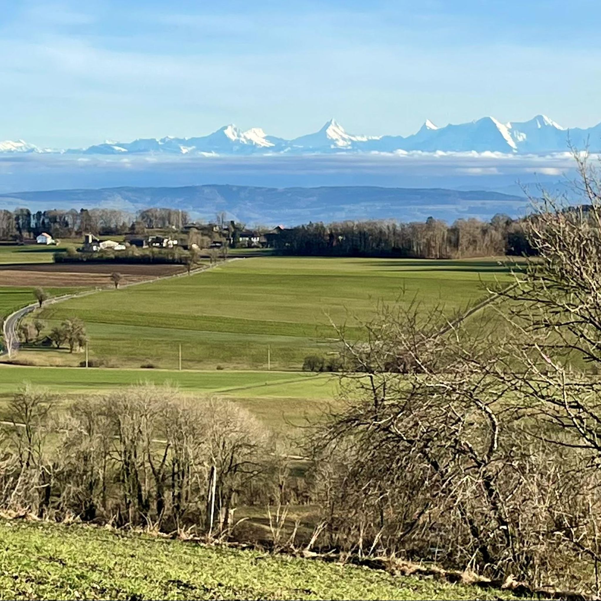
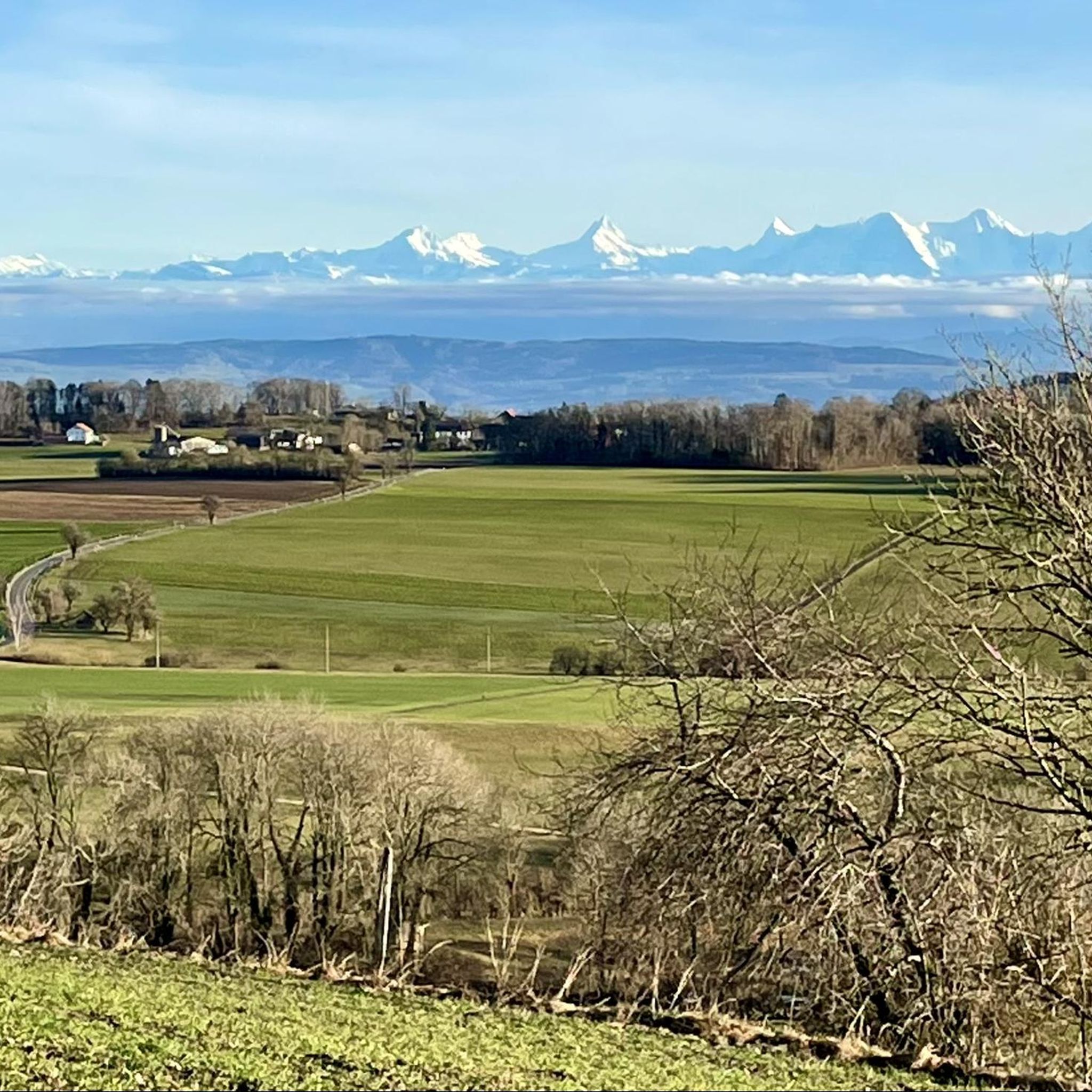
샤스렐은 날씨가 좋으면 3개의 호수, 즉 비엘 호수, 뮈르텐 호수, 뇌샤텔 호수를 한눈에 볼 수 있는 최고의 전망을 제공합니다. 모두 한 장의 사진에 담을 수 있습니다 ;). 정상에는 피크닉을 할 수 있는 장소가 있습니다. "피크닉을 하지 않는" 사람들을 위해 "샤스렐" 호텔에서 식사를 할 수 있는 옵션도 있습니다.
0
0


In Roman times, the Jura was crossed through the Schüss gorge north of the small town of Studen/Petinesca, or what is now Biel. Parts of this ancient road were excavated by the Archaeological Service of the Canton of Bern. The Roman Jura transversal was examined at various points during the construction work on the A16 national road between Biel and Tavannes in 1992 and 1994. Parts of the Roman road that are accessible today are at the so-called Martinsklafter in Péry, in the Tournedos field in Sonceboz or at the Pierre-Pertuis in the municipality of Tavannes. The latter is a natural opening in the rock that was used as a road passage in Roman times and was provided with an inscription
1
0
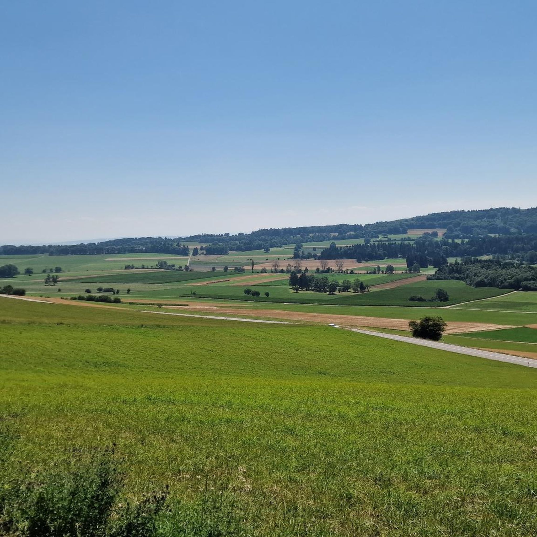
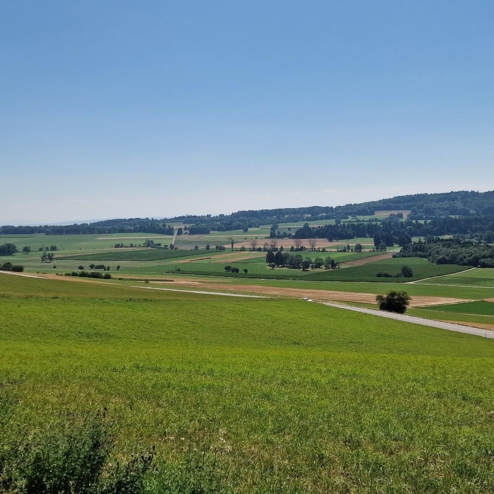
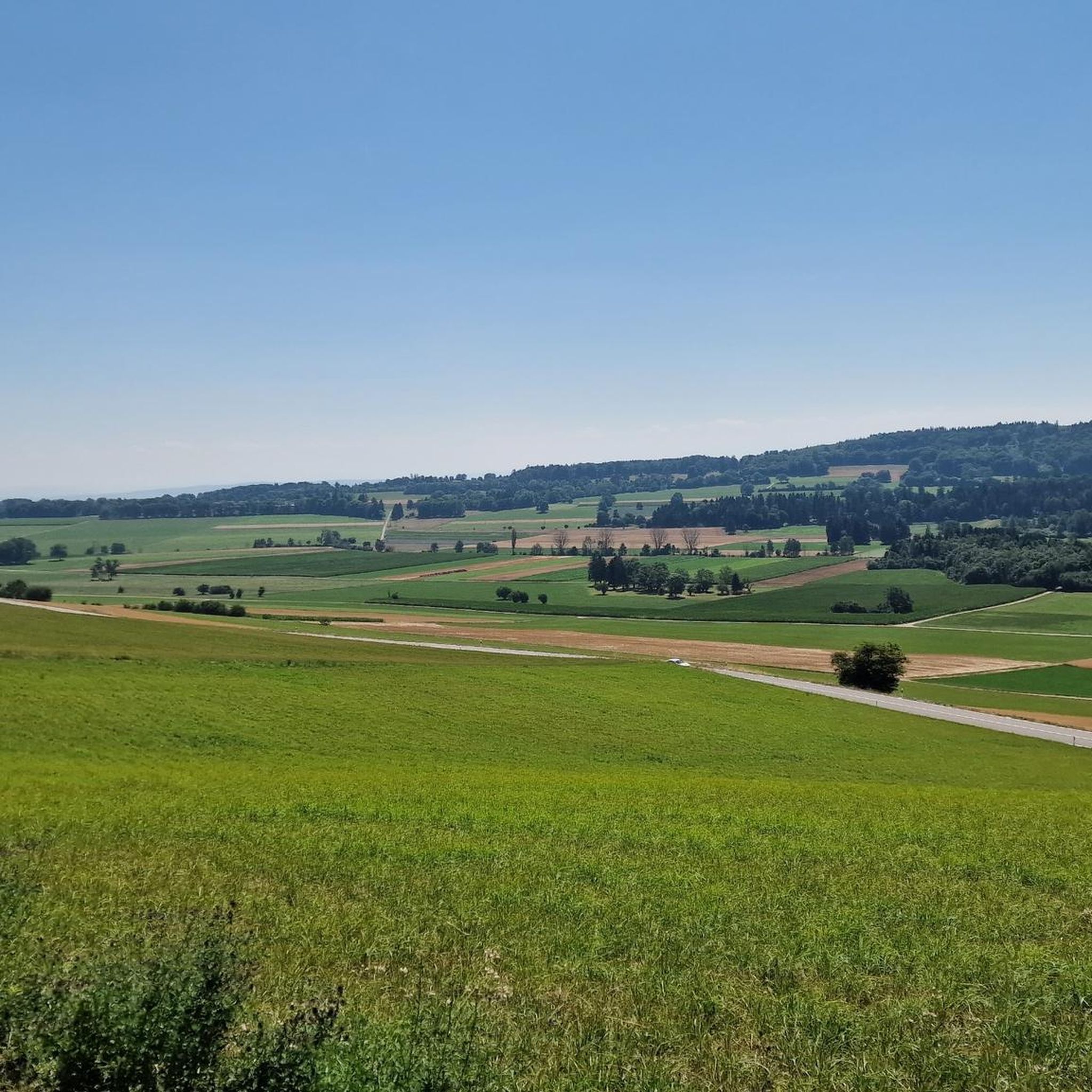
Not a spectacular climb. But a beautiful rural area.
1
0

Pass at 827m. Just below there is a source of drinking water to replenish the water supplies.
3
0

Comfortable climb through shady forest and moderate gradient. The downhill is also easy to ride, sometimes steep in the double-digit % range. Asphalt is good so far.
0
0
고원 드 디에세 주변에서 가장 인기 있는 명소


더 살펴보기
이 가이드를 통해 더 많은 장대한 산악 통과를 확인해보세요 고원 드 디에세 주변:
