경로

플래너

기능

업데이트

App

로그인 또는 가입

앱 다운로드

로그인 또는 가입

경로
Places to see
스위스
에스파스 미텔란트
뇌샤텔

발 드 트래버스

20의 발 드 트래버스가지 명소 & 주요 장소


발 드 트래버스에는 둘러볼 만한 장소가 많답니다. 하이킹 또는 사이클링을 좋아한다면 발 드 트래버스에 숨겨진 20
가지 보석을 만날 수 있을 거예요. 이 지역의 주요 명소를 살펴보면서 다음 모험을 계획해보세요.

마지막 업데이트: 8월 29, 2026

크뢰 뒤 반

하이라이트 • 협곡

The Creux du Van is an exceptional natural site that offers an unforgettable excursion. To get to these rocky edges, you can climb (run) from Noiraigue on foot or by bike, with or without electricity.

번역자 Google •

에 의해

하이킹 보기

휴대폰으로 전송

저장

누아리그

하이라이트 • 정착지

Noiraigue
The first written mention of the place dates back to the year 998 under the name Nigra aqua. This Latin word meaning black water refers to the water of …

번역자 Google •

에 의해

저장

이런 장소를 발견하려면 지금 가입하세요

최고의 싱글 트랙, 봉우리 및 다양한 흥미로운 야외 장소에 대한 추천을 받아보세요.

무료 회원 가입

크뢰 뒤 반

하이라이트 • 협곡

The Creux du Van is approximately 1,200 meters wide and 500 meters deep. The total length of the rock faces, which drop approximately 160 meters vertically, is approximately four kilometers. …

번역자 Google •

에 의해

저장

페름 로베르

하이라이트 • 산장

The Ferme Robert mountain inn, built in 1750 at the foot of the Creux du Van, is at an altitude of 972 meters. It is the ideal stopover on the …

번역자 Google •

에 의해

저장

레스토랑 르 솔리아

하이라이트 • 레스토랑

Great food and nice sun terrace. Unfortunately often overcrowded ...

번역자 Google •

에 의해

저장

협곡 드 라 포에타 레이세

하이라이트 • 협곡

If you're looking for an exciting hike in the heart of the mysterious absinthe country, you should visit the Gorges de la Poeta-Raisse, near Môtiers. There you'll discover the stunning …

번역자 Google •

에 의해

저장

포에타-레제 협곡의 시작점

하이라이트 • 폭포

Just a few hundred meters from the edge of the village is the entrance (or, coming from the other direction, the exit) of the Poëta Raisse Gorge. It can be visited and hiked free of charge.

번역자 Google •

에 의해

저장

모티에 마을 중심지

하이라이트 • 정착지

History of the village of Mostier - Moustier - Môtiers
Môtiers: from the Latin monasteries, meaning church or monastery. The foundation of Môtiers merges with the foundation of the priory …

번역자 Google •

에 의해

저장

라 프레스타 아스팔트 광산

하이라이트 • 역사적 장소

Les Mines d'asphalte du Val-de-Travers
In 1711, the first modern scientist specializing in the field of asphalt, the Greek doctor Eirini d'Eyrinys, identified the first deposits on the northern anticline …

번역자 Google •

에 의해

저장

트라베르 마을과 석조 다리

하이라이트 • 정착지

Travers is located at 735 m above sea level, 20 kilometers west-southwest of the cantonal capital of Neuchâtel (as the crow flies). The village extends mostly on the northern side …

번역자 Google •

에 의해

저장

무료로 가입하여 발 드 트래버스 주변의 더 많은 명소를 발견하세요.

무료 회원 가입

이미 komoot 계정이 있나요?

오늘 무료 계정으로 시작하세요

다음 모험이 기다리고 있어요.

로그인 또는 가입하기

발 드 트래버스 주변 인기 장소
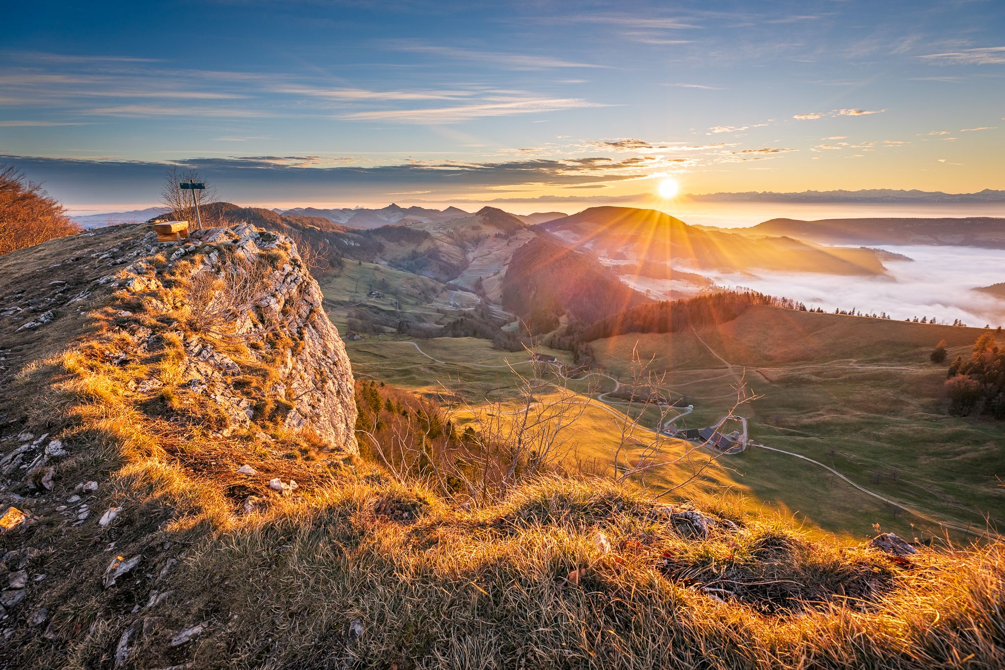
암석, 원거리 전망과 퐁듀 - 주라 고가 경로의 16단계
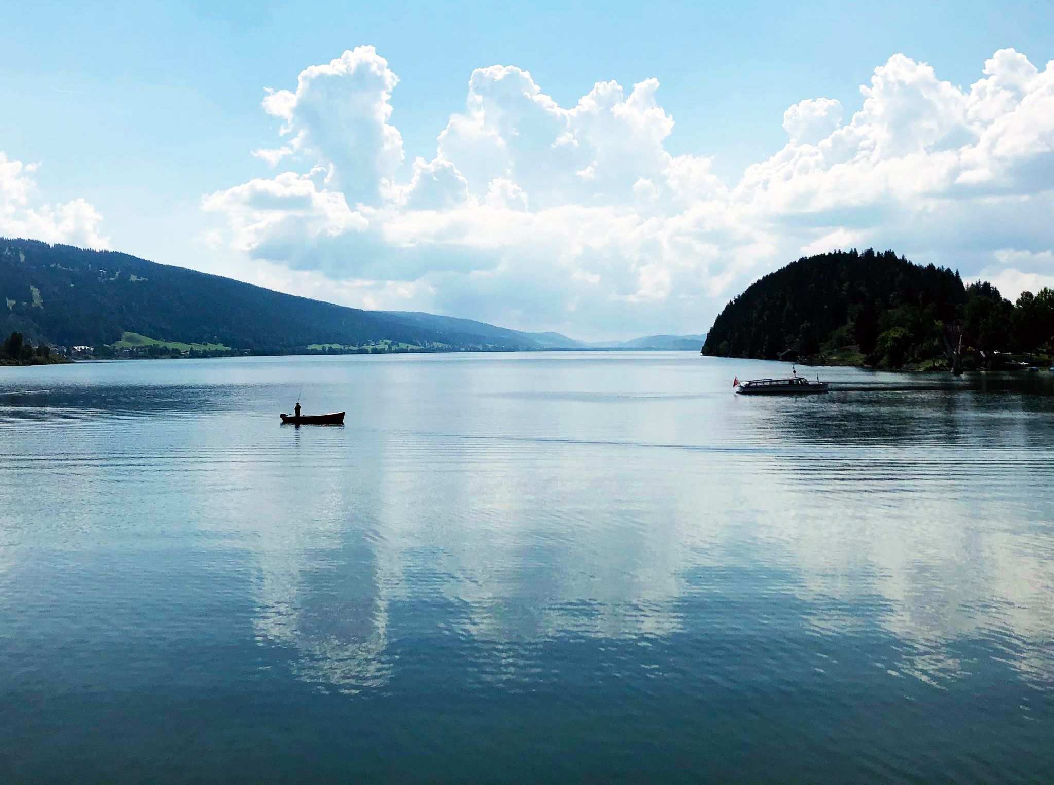
Cycling the Jura from Basel to Lake Geneva in 6 stages
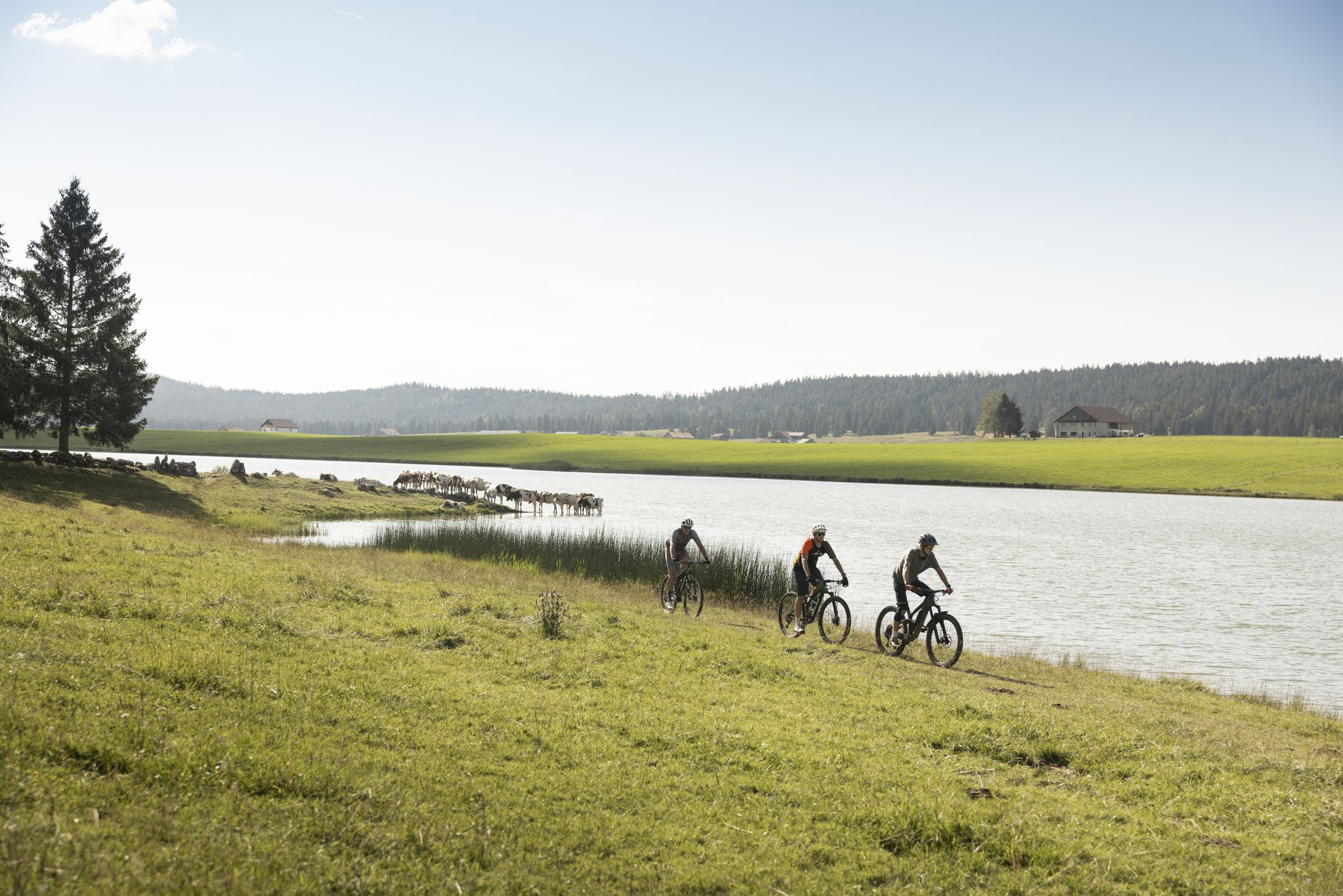
Cycling in the Jura & Three-Lakes Region
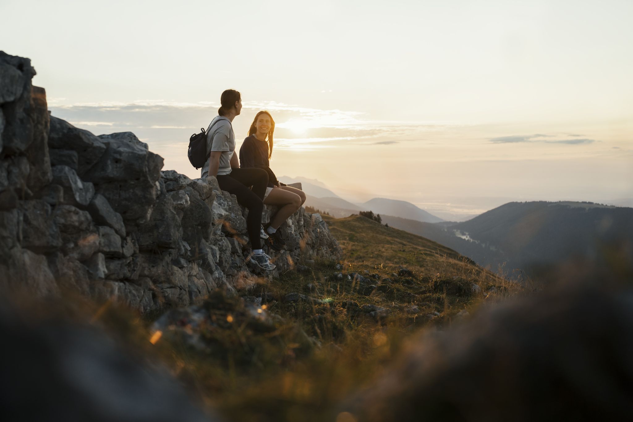
Panoramic hikes in the Jura & Three-Lakes Region
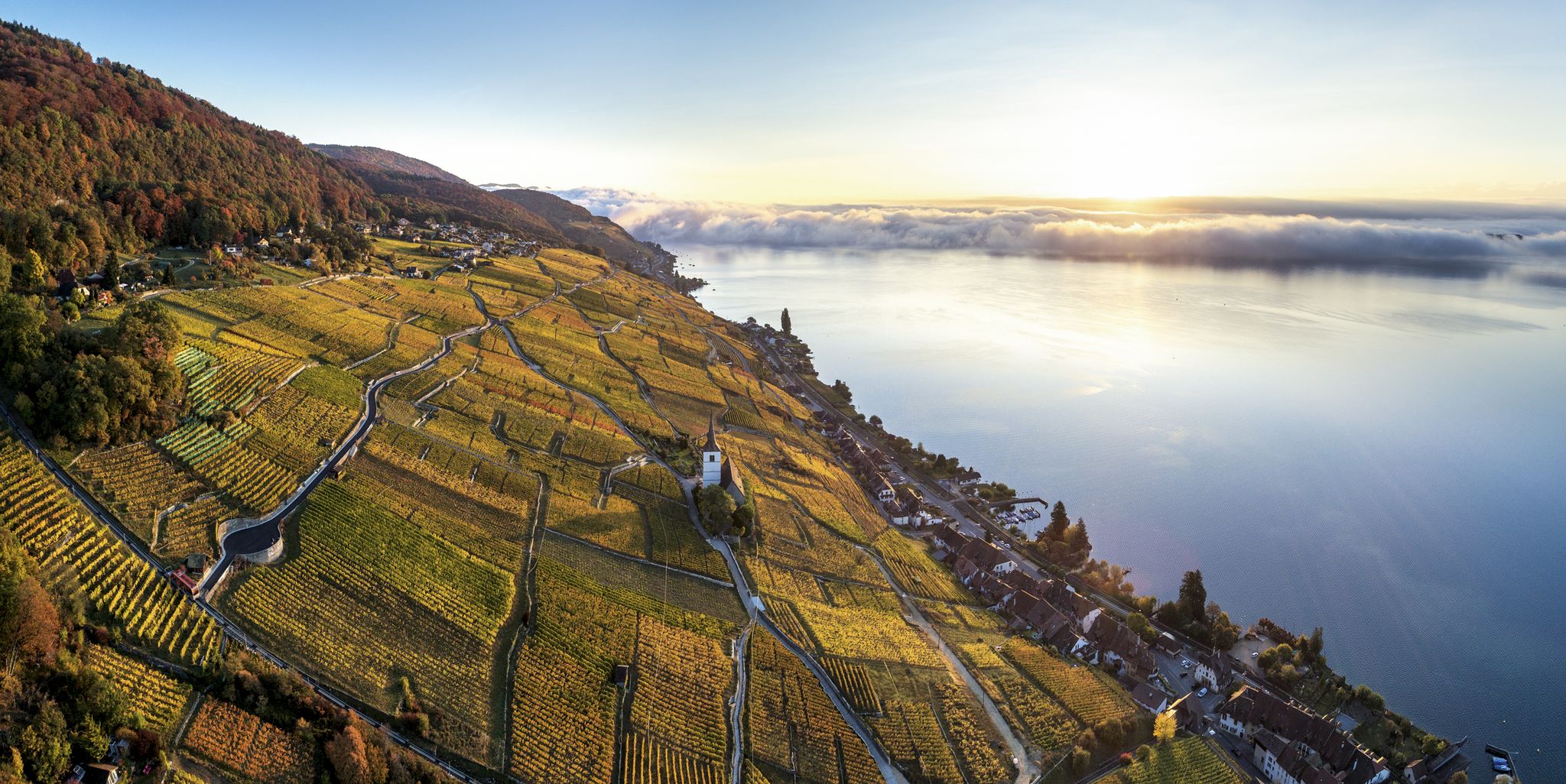
Waterside hiking in the Jura & Three-Lakes region
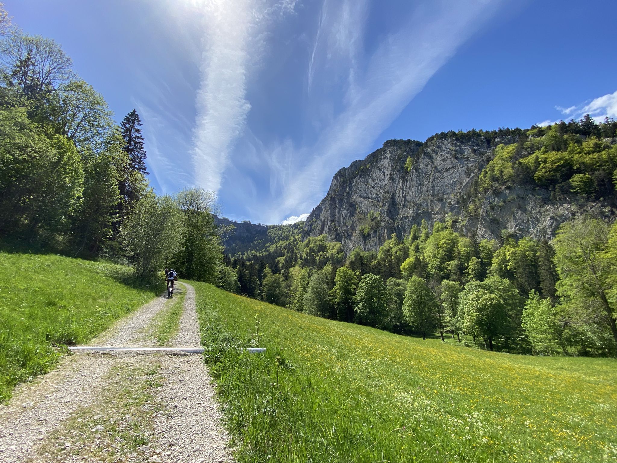
숲, 풀밭, 협곡을 통해 - 독일 Neuchâtel 자전거
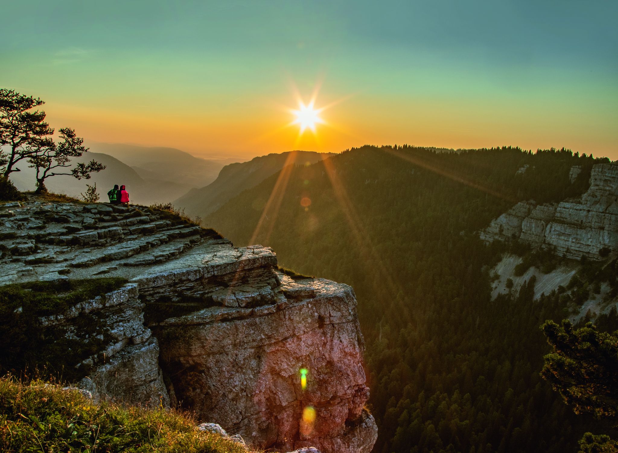
스위스 쥐라의 장엄한 풍경을 가로질러 라 트란스 쥐라시엔을 타세요

보지에서 주라 산맥까지 - 엑사트렉, 그랑 에스트
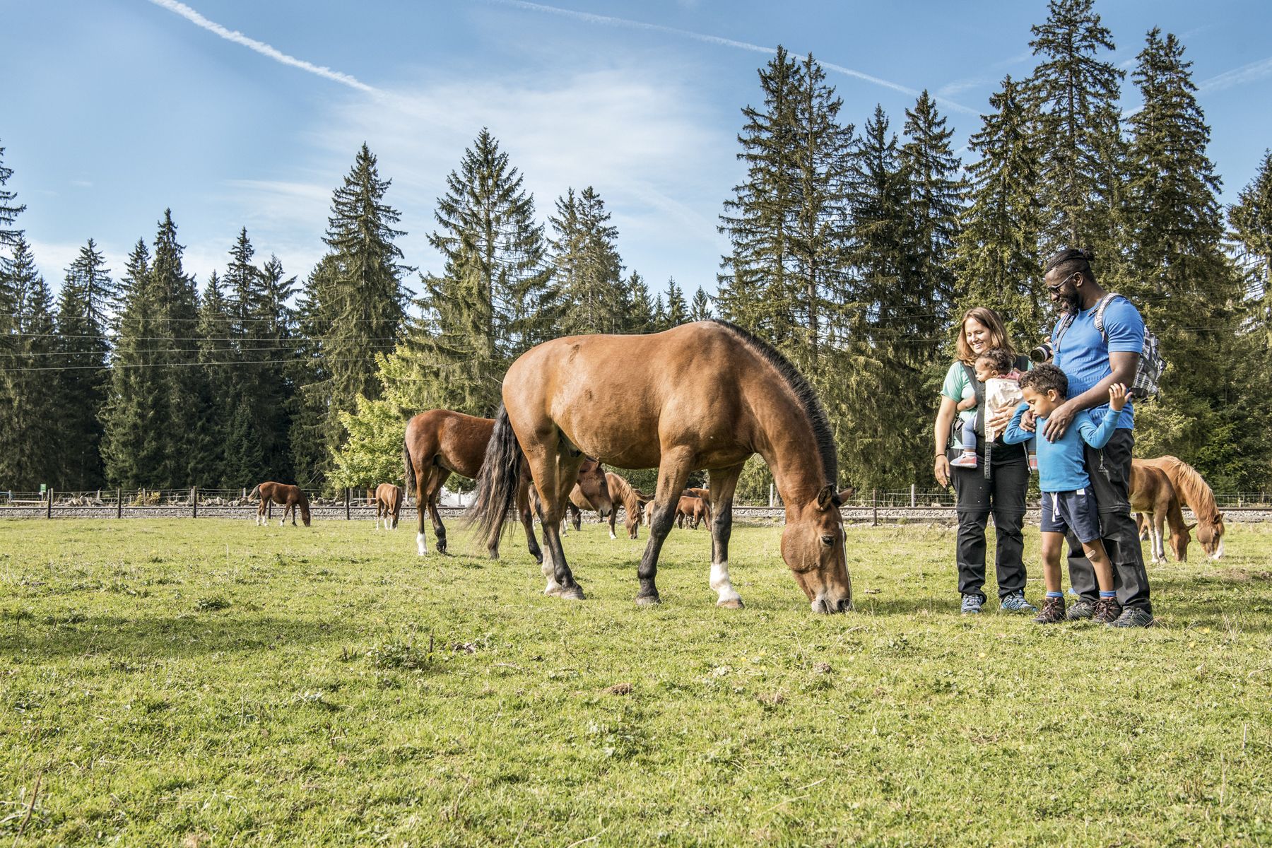
Jura — Visit the farms of organic pioneers

Schottergenuss und Gaumenschmaus – Grand Gourmet Rides durch die Schweiz

발 드 트래버스 주변의 다른 모험

암석, 원거리 전망과 퐁듀 - 주라 고가 경로의 16단계

하이킹 컬렉션 에 의해

Vanessa

커뮤니티 팁

the_real_napster
7월 25, 2026, Creux du Van

여기는 정말 아름답고 환상적입니다

번역: Google

2

0

여기 예쁘네요, 아주 예뻐요

번역: Google

3

0

Bykov
4월 19, 2026, Creux du Van

자연이 만들어낸 것은 정말 엄청나고 매우 인상적입니다!!!

번역: Google

2

0

Just a few hundred meters from the edge of the village is the entrance (or, coming from the other direction, the exit) of the Poëta Raisse Gorge. It can be visited and hiked free of charge. There are a few parking spaces, a large log cabin for picnics, and a signpost.

번역: Google

2

0

Great restaurant, right by the Creux du Van. The fondue is highly recommended, very delicious 😎

번역: Google

7

1

Very cozy and inviting garden terrace.

번역: Google

7

1

The Creux du Van is approximately 1,200 meters wide and 500 meters deep. The total length of the rock faces, which drop approximately 160 meters vertically, is approximately four kilometers. The area is located near Mont Soliat at 1,200 to 1,450 meters above sea level. It has been protected since 1972 and is included in the federal inventory of landscapes and natural monuments of national importance. Source: https://share.google/qQ4zo9CPIq9SnEl6N

번역: Google

8

0

Cool places

번역: Google

1

0

발 드 트래버스 주변에서 가장 인기 있는 경로

발 드 트래버스 하이킹

발 드 트래버스 주변에서 가장 인기 있는 명소

Natural Monuments

Store rating

komoot 모바일 앱으로 영감을 받아보세요

무료 komoot 계정로 끝없는 야외 모험을 손쉽게 찾고, 맞춤 설정하며 길안내할 수 있어요.

또는

지금 komoot에 가입하세요

Store rating

찾고 계신 것을 찾지 못하셨나요?

근처의 멋진 장소를 더 탐험하고 싶으신가요? 우리의 가이드를 살펴보세요:

레 베리에르라 꼬뜨오페노이라이그

더 살펴보기

찾고 있는 하이라이트를 아직 못 찾으셨나요? 다른 지역의 주요 명소 가이드를 확인해보세요:

근처 어드벤처 가이드

라크 데 테일에르 즐길거리

background

새로운 정복을 위한 준비를 하세요

무료로 가입하기

탐험하기
경로경로 플래너기능바우처 사용하이킹MTB 트레일로드 사이클링 경로바이크패킹사이트맵
앱 다운로드
소셜 미디어에서 팔로우하기

© komoot GmbH

개인 정보 보호 정책