하릭제에서 가장 멋진 3개의 천연기념물
자연 기념물인 하리크 호수(Hariksee) 주변 지역은 강변 숲, 습지, 계곡으로 특징지어집니다. 독일의 슈발름탈(Schwalmtal)과 니더크뤼흐텐(Niederkrüchten) 사이에 위치한 이 풍경은 자연 과정과 역사적인 이탄 채굴에 의해 형성되었습니다. 이 지역은 야외 활동과 독특한 자연 경관 탐험을 위한 장소를 제공합니다.
하리크 호수 주변 최고의 자연 기념물
- 가장 인기 있는 자연 기념물은 휴식의 중심지 역할을 하는 호수인 하리크 호수(Hariksee)입니다. 호숫가에는 강변 숲과 습지가 있으며, 3.5km 순환 경로는 호수의 전망을 제공합니다.
- 또 다른 꼭 봐야 할 명소는 나무뿌리가 지상 위로 눈에 띄게 자라 독특한 숲길을…
마지막 업데이트: 5월 27, 2026


이런 장소를 발견하려면 지금 가입하세요
최고의 싱글 트랙, 봉우리 및 다양한 흥미로운 야외 장소에 대한 추천을 받아보세요.
무료 회원 가입
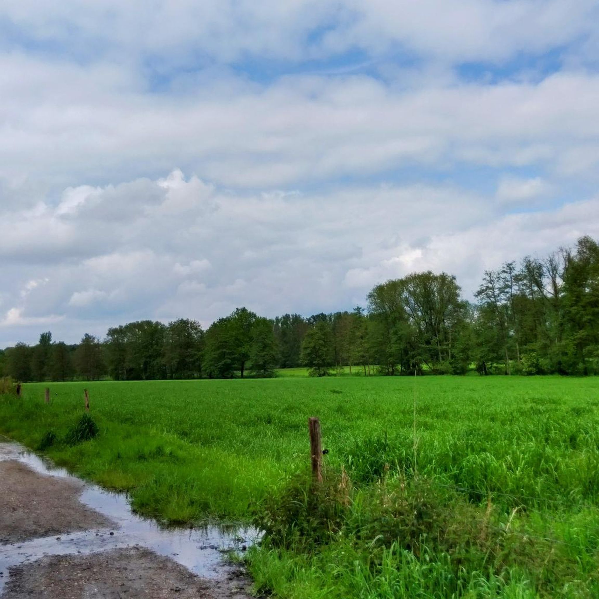
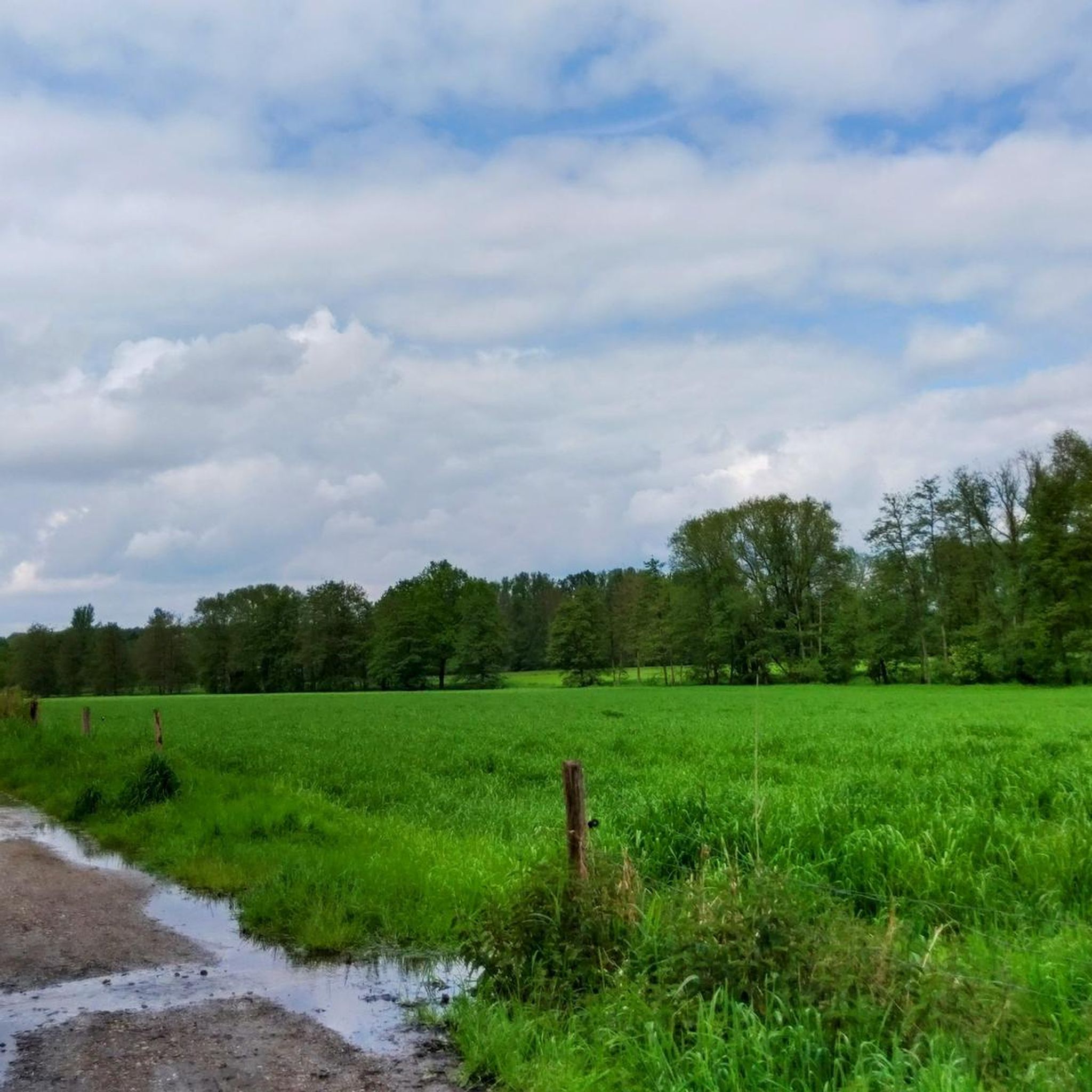
Naturpark Schwalm-Nette의 물새 초지
하이라이트 • 자연
번역자 Google •
팁에 의해

오늘 무료 계정으로 시작하세요
다음 모험이 기다리고 있어요.
로그인 또는 가입하기


커뮤니티 팁

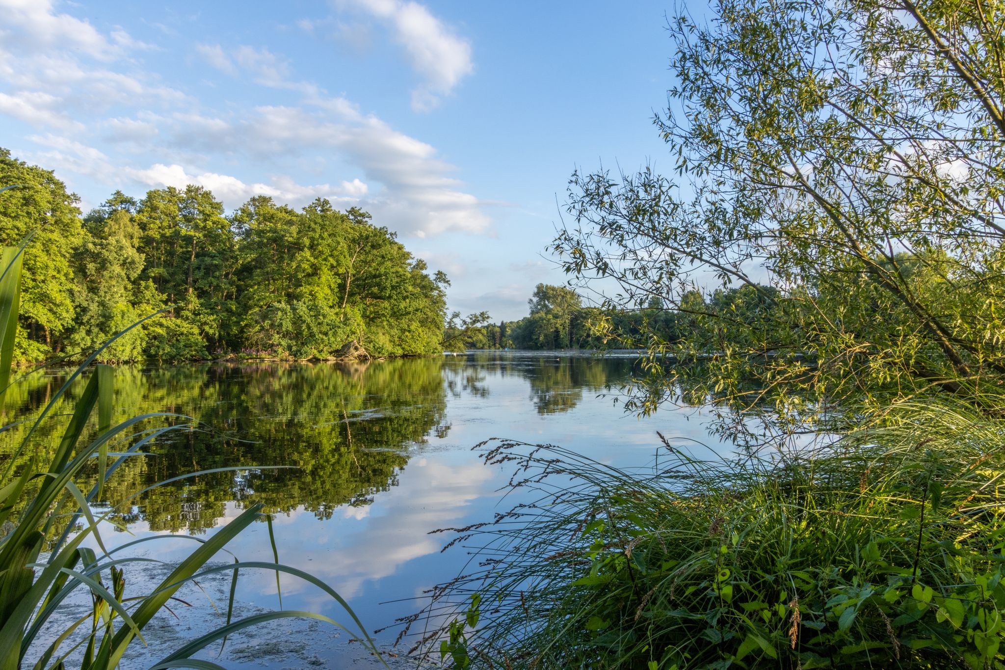
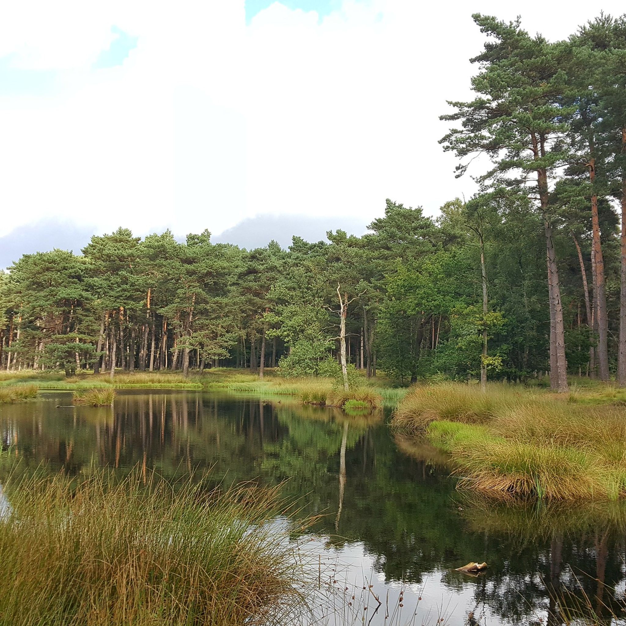
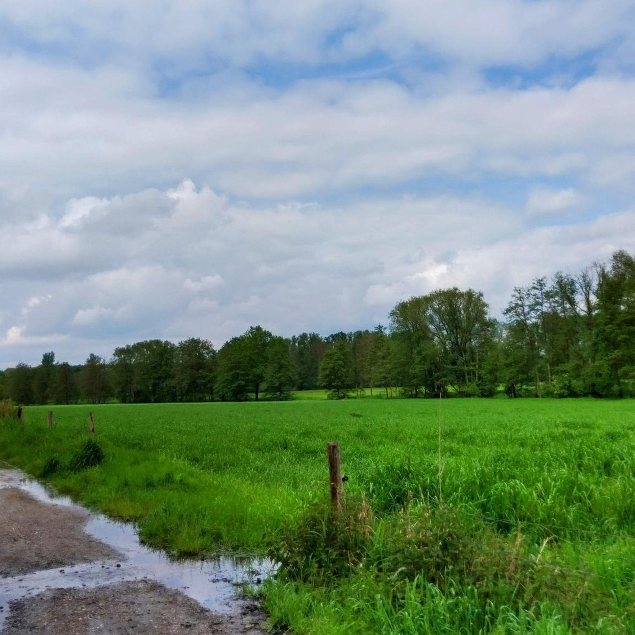
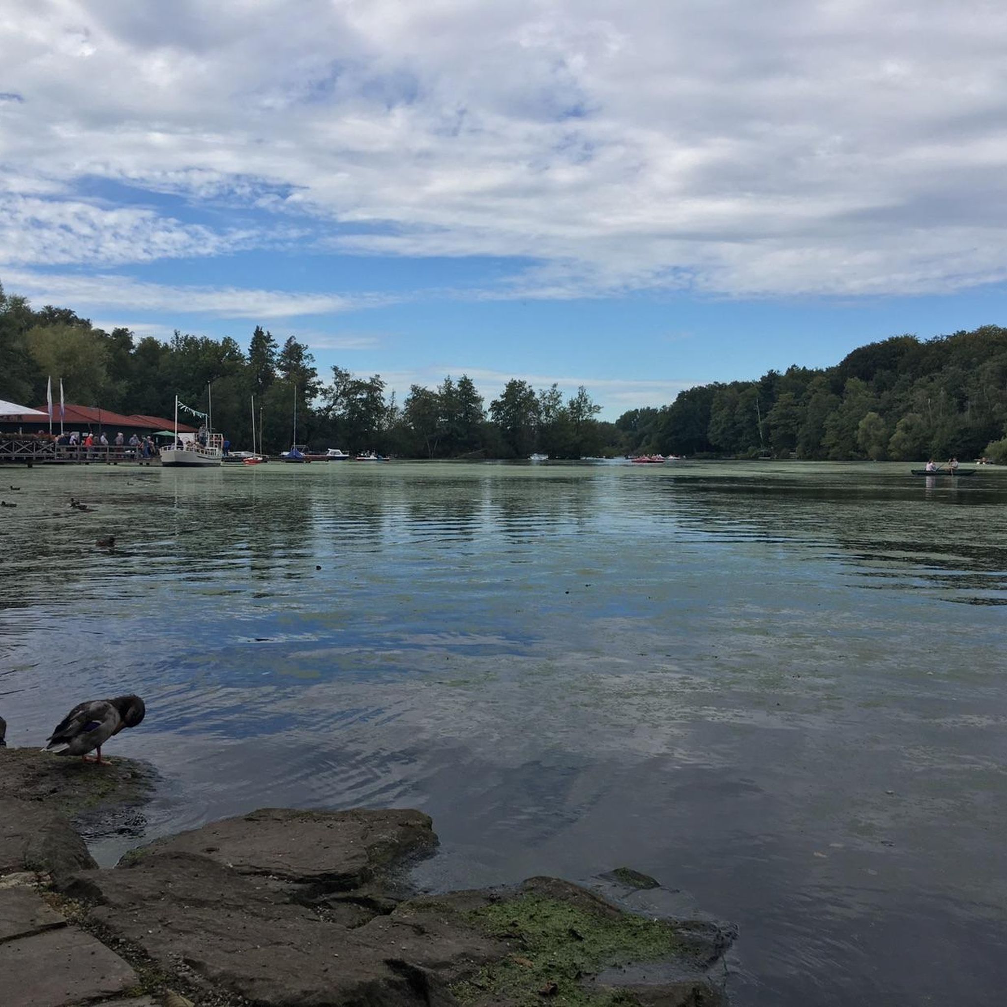
The waterfowl meadows in Schwalm-Nette Nature Park are a unique feature of the water-rich landscape along the German-Dutch border. This nature park, which covers approximately 435 square kilometers in North Rhine-Westphalia, lies between Mönchengladbach, Viersen, and the Dutch province of Limburg. Established as a nature park in 1965, the area has been part of the cross-border Maas-Schwalm-Nette Nature Park since 1976. Characteristic of this region are the numerous rivers, streams, lakes, and wetlands that together form a diverse landscape of water, wet meadows, forests, and heathlands. Within this landscape, the waterfowl meadows play an important role. These moist grasslands, often located along streams, lakes, or wetlands, are prone to frequent flooding. These wet conditions foster the growth of specific plants, creating an ideal habitat for many bird species. The combination of open grassland, shallow water, and tranquil nature makes these areas particularly attractive to waterfowl, which rest, forage, and sometimes breed there. The meadows thus serve as a natural feeding and resting place for birds dependent on wetlands. The entire nature park is strongly influenced by water. Rivers such as the Schwalm Nette, Niers, and Rur flow through the area and, together with numerous small lakes, fens, and marshlands, form a network of wetland habitats. These wetlands are among the most valuable natural habitats in the park and are of great importance for biodiversity. They provide habitat not only for waterfowl but also for many other animals, such as dragonflies, amphibians, and mammals that depend on marshes and waterscapes. The waterfowl meadows are part of this larger ecological structure. Large numbers of birds can be seen here, especially in spring and autumn when migratory birds pass through Europe. Ducks, geese, herons, and other water-bound species use the meadows as a stopover to gain energy before continuing their journey. Because the areas are relatively open and experience little disturbance, birds can rest safely here. At the same time, the wet grasslands provide a rich food source with insects, aquatic plants, and small animals that are easily accessible to birds. For visitors to the nature park, these areas also offer a unique natural experience. Water viewpoints have been constructed at various locations throughout the park, offering excellent views of the wetlands and the birds that live there without trespassing on the fragile terrain. These viewpoints allow for close-up observations of waterfowl without disturbing them. Information panels or QR codes are often present that explain the flora, fauna, and landscape of the area. Besides their importance for birds, the waterfowl meadows also play a role in preserving the Lower Rhine landscape. They recall the traditional use of wet grasslands where cattle once grazed on damp meadows along the streams. Today, many of these areas are consciously managed to preserve their natural character. By regulating the water level and implementing extensive grazing, the landscape remains open and suitable for birds and other animals. The waterfowl meadows are a key element of the Schwalm-Nette Nature Park's character. They demonstrate how water and landscape have been interconnected here for centuries and how these wetlands play a crucial role in protecting birds and biodiversity today.
2
0
The Wortelpassage, often referred to in German as Wurzelpassage, is a unique landscape feature in the wooded area around Born and Brüggen in North Rhine-Westphalia. The name refers to a narrow forest path where tree roots grow visibly above the ground, forming a natural passageway. This passage is located in the area around the Schwalm and is part of the vast Maas-Schwalm-Nette nature reserve, where forest, marshland, and stream valleys alternate. The formation of the Wortelpassage is related to the soil conditions in the Schwalm region. The subsoil here consists of sandy and peaty layers with a high water table. Trees such as oaks, beeches, and alders are therefore unable to anchor their roots deeply in the ground. Instead, the roots grow more horizontally and become visible at the surface. Due to erosion, rainwater, and intensive use of the path, these root structures have become increasingly visible. This created a natural passage that owes its name to the network of roots that lines it. The Wortelpassage is not a man-made work of art, but a spontaneously formed natural phenomenon. Yet it has an almost fairytale-like quality. Overhanging branches, winding roots, and the filtered light between the trees create a special atmosphere. Especially after rainfall, when the soil is dark and moist and moss clings to the roots, the path takes on an almost mystical appearance. This makes the spot popular with hikers and photographers seeking natural details. Ecologically, the exposed roots serve an important function. They stabilize the soil and prevent rainwater from washing away the sand. In addition, the cavities between the roots provide shelter for insects, small mammals, and amphibians. Combined with the surrounding forest and nearby stream valleys, the Wortelpassage forms a small but valuable part of the larger ecosystem around the Schwalm. The passage is usually part of hiking trails that run along the Schwalm, the Borner See, and other nature reserves. Because the path is narrow and uneven, it emphasizes the natural experience of the landscape. Visitors directly experience the connection between soil, tree, and water. It is a place where the influence of time and nature becomes visible in roots that have slowly formed their own path.
0
0


beautiful for sure
2
0

Feeding waterfowl is not only forbidden, it is also very harmful to the animals.
9
0

Especially in winter you can find numerous water birds here and in the surrounding fields.
19
1

A paradise for water birds.
6
0

Bird life is also delighted by lush wet meadows.
29
1
자주 묻는 질문
하리크제(Hariksee) 주변에 탐험할 만한 독특한 자연 기념물은 무엇이 있나요?
하리크제 지역에는 여러 독특한 자연 기념물이 있습니다. 중심지는 강변 숲과 습지로 유명한 하리크제(Hariksee) 자체입니다. 또 다른 하이라이트는 나무뿌리가 지상 위로 눈에 띄게 자라 독특한 자연 통로를 만드는 숲길인 뿌리 얽힘(Wortelpassage)입니다. 조류 관찰에 특히 흥미로운 슈발름-네테 자연공원(Naturpark Schwalm-Nette)의 물새 초원도 방문할 수 있습니다.
"뿌리 얽힘"(Wortelpassage)은 어떤 점 때문에 특별한 자연 기념물인가요?
뿌리 얽힘은 Wurzelpassage라고도 알려져 있으며, 나무뿌리가 숲길을 따라 지상 위로 자라는 독특한 자연 현상입니다. 이는 슈발름 지역의 모래와 이탄 토양 조건과 높은 지하수위 때문에 나무가 깊이 뿌리내리지 못하기 때문에 발생합니다. 드러난 뿌리와 늘어진 나뭇가지, 그리고 걸러진 빛이 어우러져 거의 동화 같은 분위기를 자아내며, 특히 비가 온 후 이끼가 어두운 습한 뿌리에 달라붙을 때 신비로운 느낌을 줍니다.
하리크제 주변의 자연 기념물 근처에 하이킹 트레일이 있나요?
네, 하리크제 지역은 하이킹에 매우 좋습니다. 인기 있는 옵션 중 하나는 하리크제 주변을 도는 3.5km 순환 코스(트레일 A5)로, 아름다운 경치를 제공합니다. 뿌리 얽힘으로 이어지는 길을 포함하여 여러 다른 트레일이 자연 기념물들을 연결합니다. 더 자세한 하이킹 경로를 보려면 하리크제 가이드에서 찾을 수 있는 다양한 옵션을 탐색해 보세요.
하리크제 자연 기념물 근처에서 즐길 수 있는 다른 야외 활동은 무엇이 있나요?
하이킹 외에도 하리크제 지역은 다양한 사이클링 활동에 이상적입니다. 차량 통행이 없는 자전거 도로, MTB 트레일, 그래블 바이크를 위한 수많은 경로를 찾을 수 있습니다. 하리크제 자체에서는 페달 보트를 빌리거나 유람선 "파첼(Patschel)"을 탈 수 있습니다.
하리크제 주변의 자연 기념물은 어린이를 동반한 가족에게 적합한가요?
물론입니다. 하리크제는 페달 보트 대여와 탐색하기 쉬운 순환 코스를 제공하여 가족 친화적입니다. 물새 초원도 가족들이 자연을 관찰하기에 좋은 장소입니다. 독특한 뿌리 얽힘은 아이들에게 마법 같은 숲길처럼 느껴지는 흥미로운 발견이 될 수 있습니다.
하리크제 지역의 자연 기념물을 방문하기 가장 좋은 시기는 언제인가요?
하리크제 지역은 일 년 내내 아름답습니다. 봄과 가을은 쾌적한 기온으로 하이킹과 사이클링을 즐기기 좋으며, 생기 넘치는 단풍이나 피어나는 자연을 볼 수 있습니다. 여름은 호수 활동을 즐기기에 이상적입니다. 겨울에는 특히 뿌리 얽힘 주변의 풍경이 고요하고 신비로운 모습을 띨 수 있으며, 물새 초원은 물새를 관찰하기에 특히 좋습니다.
하리크제(Hariksee) 지역의 자연 기념물에 개를 데려갈 수 있나요?
일반적으로 하리크제 주변의 산책로와 자연 지역에는 개를 동반할 수 있습니다. 하지만 야생 동물을 보호하고 모든 방문객에게 즐거운 경험을 보장하기 위해, 특히 마스-슈발름-네테(Maas-Schwalm-Nette)와 같은 자연 보호 구역에서는 항상 목줄을 착용하는 것이 좋습니다. 물새 서식지 초원과 같이 특정 민감한 지역에는 별도의 규정이 적용될 수 있습니다.
하리크제의 자연의 아름다움을 감상할 수 있는 좋은 전망대가 있나요?
네, 훌륭한 전망대가 여러 곳 있습니다. 하리크제(Hariksee) 전망은 호수의 고전적인 모습을 제공합니다. 또 다른 장소인 하리크제와 보르너 제(Borner See) 전망은 더 넓은 파노라마를 제공하여 두 호수와 주변 숲을 볼 수 있게 해줍니다. 이러한 전망대는 종종 호수 주변의 하이킹 코스에 통합되어 있습니다.
하리크제 주변의 자연 기념물에서 어떤 종류의 야생 동물을 관찰할 수 있나요?
하리크제 주변의 다양한 서식지는 여러 야생 동물을 지원합니다. 슈발름-네테 자연공원(Naturpark Schwalm-Nette)의 물새 서식지 초원은 특히 풍부한 조류 서식지로 유명하며, 특히 겨울철에는 수많은 물새를 볼 수 있습니다. 하리크제 주변의 강변 숲과 습지는 다양한 곤충, 작은 포유류, 양서류의 서식지이기도 합니다.
하리크제 자연 기념물에 접근하기 위한 주차 시설이나 대중교통 옵션이 있나요?
하리크제 지역은 자동차로 접근 가능하며, 인기 있는 진입 지점과 레스토랑 근처에 주차 시설이 마련되어 있는 경우가 많습니다. 특정 대중교통 정보는 현지에서 확인하는 것이 가장 좋지만, 이 지역은 일반적으로 인근 마을과 잘 연결되어 있습니다. 자연 기념물에 편리하게 접근하려면, 특히 대중교통을 이용하는 경우 사전에 경로를 계획하는 것이 좋습니다.
하리크제와 그 주변을 형성한 지질학적 특징은 무엇인가요?
호수 자체와 뿌리 얽힘(Tangle of roots)을 포함한 하리크제 주변의 풍경은 자연 과정과 역사적인 이탄 채취에 의해 형성되었습니다. 이 지역의 지하에는 높은 지하수면을 가진 모래와 이탄층이 있어 독특한 뿌리 성장에 영향을 미쳤습니다. 하리크제의 현재 형태와 크기는 17세기 이탄 제거의 직접적인 결과로, 자연과 인간의 영향을 받은 지질학의 흥미로운 조합을 보여줍니다.
하릭제 주변에서 가장 인기 있는 명소


더 살펴보기
하릭제 주변의 최고의 동굴을 찾기 위해 이 가이드를 확인해보세요:
