하릭제 최고의 사이클링 경로
4.5
(8190)
33,462
자전거 타는 사람
828
라이딩
하릭제에 자전거 라이딩을 할 수 있는 경로는 많은데, 어디서 출발해야 할지 모르시겠다고요? 아름다운 호수를 구경할 수 있도록 가장 멋진 경로를 알려드릴게요. 망설이지 말고, 마음에 드는 하릭제 사이클링 경로를 아래에서 찾아보세요.
마지막 업데이트: 9월 14, 2026
4.7
(100)
305
자전거 타는 사람
27.9km
01:42
110m
110m
초급용 자전거 라이딩. 모든 체력 수준에 적합. 대부분 포장된 지면. 실력과 관계없이 누구나 갈 수 있음.
4.7
(27)
75
자전거 타는 사람
46.9km
02:54
110m
110m
보통 자전거 타기. 좋은 체력 필요. 대부분 포장된 지면. 실력과 관계없이 누구나 갈 수 있음.

4.1
(13)
59
자전거 타는 사람
45.9km
02:46
160m
160m
보통 자전거 타기. 좋은 체력 필요. 대부분 포장된 지면. 실력과 관계없이 누구나 갈 수 있음.
3.4
(28)
77
자전거 타는 사람
28.8km
01:42
70m
70m
초급용 자전거 라이딩. 모든 체력 수준에 적합. 대부분 포장된 지면. 실력과 관계없이 누구나 갈 수 있음.
3.8
(5)
11
자전거 타는 사람
32.9km
01:57
90m
90m
초급용 자전거 라이딩. 모든 체력 수준에 적합. 대부분 포장된 지면. 실력과 관계없이 누구나 갈 수 있음.
더 다양한 경로와 다른 탐험가들의 추천을 살펴보세요.
이미 komoot 계정이 있나요?
투어 추천은 다른 사람들이 komoot에서 완료한 수천 개의 활동을 바탕으로 구성되어 있습니다.
오늘 무료 계정으로 시작하세요
다음 모험이 기다리고 있어요.


커뮤니티 팁

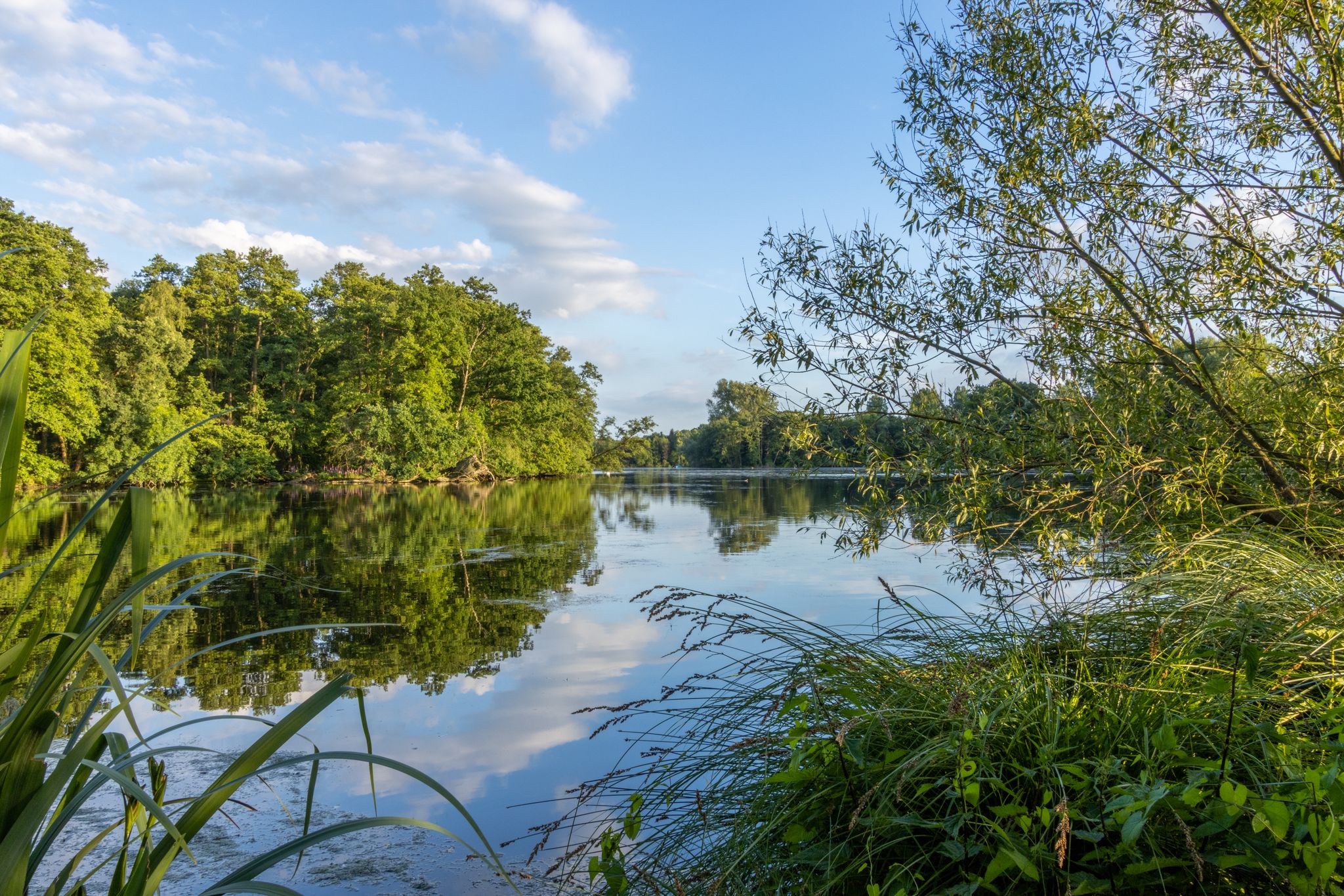
네테브루흐의 서쪽은 독일 노르트라인베스트팔렌주의 네테강 호수 지역(Netteseen)에 위치한 그림 같은 자연 보호 구역이자 유명한 전망 장소로, 네테탈과 피어젠 근처에 있습니다. 원래는 저층 습지(Niedermoor)로 형성된 네테브루흐는 오늘날 아웃도어 애호가들에게 인기 있는 목적지입니다. 그 서쪽은 특히 Komoot와 같은 플랫폼에 표시된 수많은 사이클링, 하이킹 및 달리기 경로에서 경치 좋은 경유지 또는 전망 장소로 유명합니다.
0
0

한때 목가적이었던 무어 호수는 현재 웅덩이만 남아 있습니다.
0
0


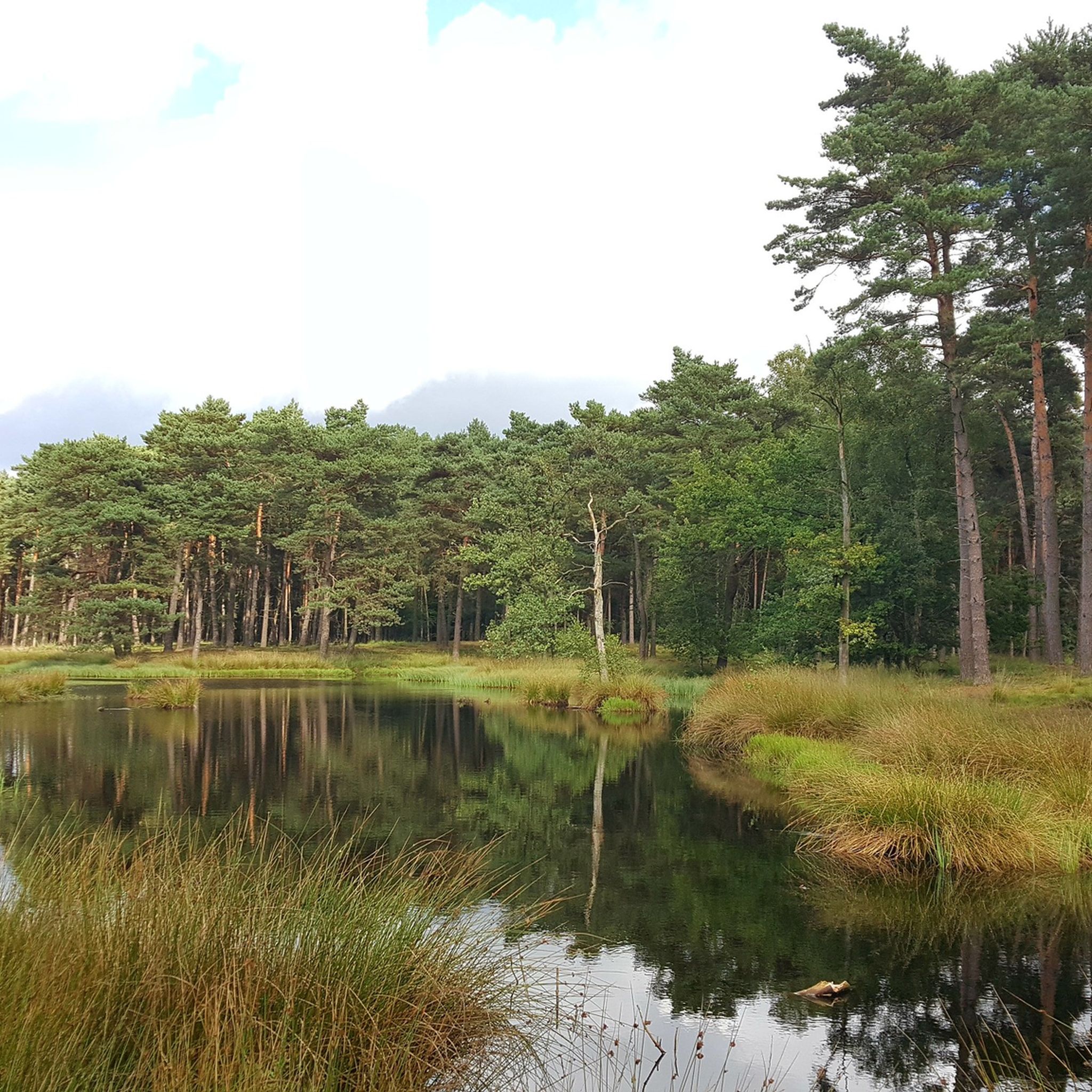
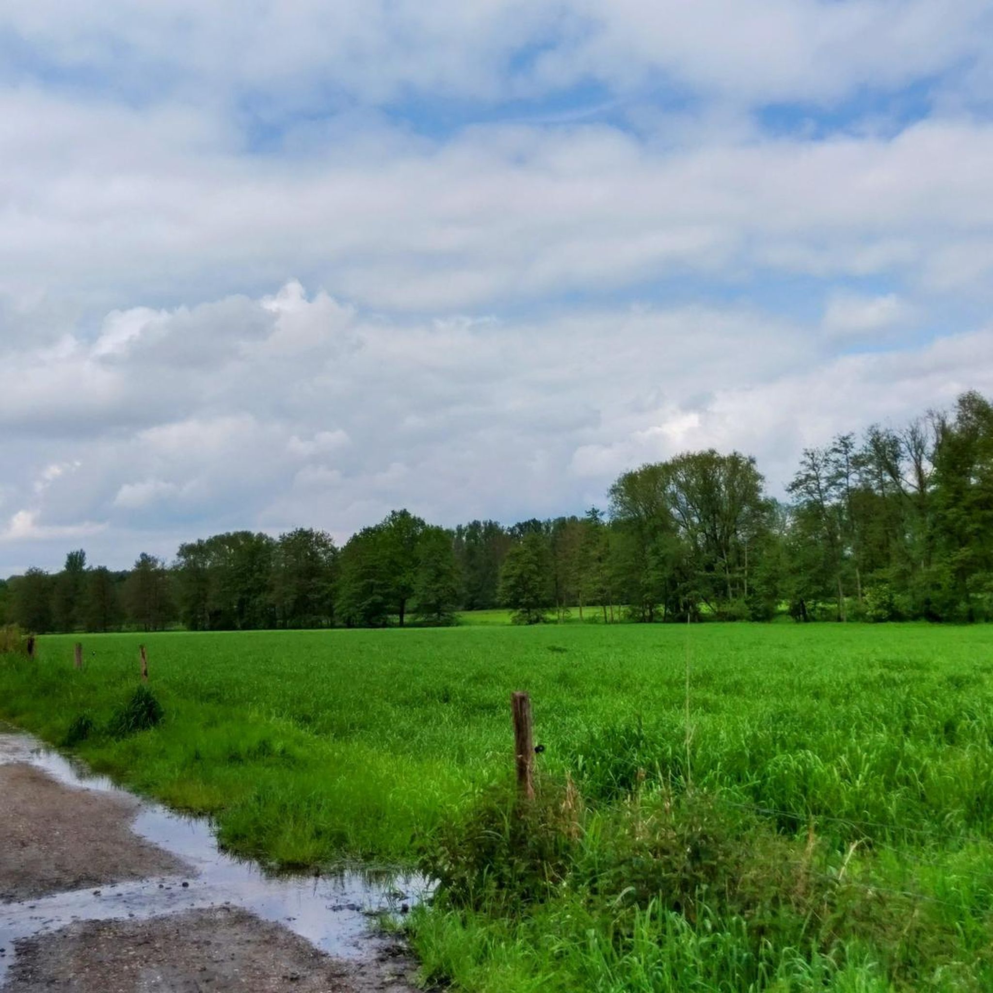
The Schwalm-Nette Nature Park is a vast nature reserve of approximately 435 km² on the border between Germany (North Rhine-Westphalia) and the Netherlands. This park is part of the larger Maas-Swalm-Nette Border Park, a cross-border nature reserve totaling approximately 870 km² that brings together German and Dutch natural landscapes. What makes the nature park unique is that the landscape is strongly defined by water: rivers, streams, lakes, marshes, and forests form a continuous network of wetlands. In this water-rich landscape, large-scale flooded forests and swamp forests develop, forming their own ecosystem. 🌧️ What do we mean by flooded forest? A flooded forest is a forest or natural zone where the soil is persistently moist or wetter than normal due to rivers and streams overflowing their banks or because groundwater is close to the surface. Water periodically pools in the soil and sometimes in above-ground puddles around tree roots and reed, and entrances and paths can be temporarily flooded, especially after rainfall or during periods of high water. In the case of the Schwalm-Nette Nature Park, such flooded wet forest areas develop primarily along the Schwalm-Nette rivers and their associated tributaries, marshes, and peatlands. Water lingers longer here because the soil is sandy and shallow, and the water can drain only slowly. 🌲 How do these wet forests develop in this park? The landscape here was formed in the last tens of thousands of years after the Ice Ages. Rivers and groundwater flows formed the natural lowlands and valleys between higher-lying forests and sandy terraces. The interaction of rainfall, high groundwater, and flooded stream valleys created swamp forests and marshland, which have become an important part of the natural environment. These flooded forests are not temporary artificial puddles but part of the original ecosystem. The soil is poor and wet, allowing typical moisture-loving trees and shrubs such as alders and willows to thrive. Where water stagnates for longer periods, forests can transform into marshes with reed beds and open ponds, characteristic wetland landscapes rich in biodiversity. 🐦 Biodiversity and life in the wet forest Because of this constant wetness, the flooded forest area provides a home to unique animals and plants. Amphibians such as frogs and salamanders thrive in the wet environment. Birds like the kingfisher and rare marsh birds find food and nesting sites here. Insects, including dragonflies and water beetles, thrive around the water and the forest edges. Plants such as marsh plants, water lilies, and moist grasslands intersect along the edge zones between the forest and open water. These forests and wetlands together form a living ecosystem that is important for nature conservation and biodiversity in the region. They contribute to the natural values for which the park is internationally recognized. 🚶 Flooding and recreation — what does it look like? In areas like the Mühlbach Marshes and other wet forest areas, paths and trails through the forest can be wet or slightly flooded after rainfall or in spring. This means that hiking trails temporarily contain puddles or wet areas, and you sometimes walk through reed forests and marshy areas where boardwalks or wooden paths have been constructed. Due to the fluctuating water levels, the landscape varies seasonally, and in spring, more puddles and water areas are often open than in late summer. Thus, a flooded forest area sometimes feels more like a wet garden of paths, water, and vegetation than a dry pine forest—a landscape in which water and forest are inextricably linked. 🌍 Importance for Conservation and Landscape The wet forest areas within the park are not only beautiful and mysterious to visit but also of great ecological importance, serving as a lifeline and breeding ground for specialist flora and fauna. They act as natural buffers for water, mitigating flooding further afield. They are part of the region's green infrastructure, with paths and routes that introduce hikers to diverse landscapes, from dry forest to wet marsh. 🌦️ Interaction with the water landscape The flooded forest is not isolated from major waterways like the Schwalm and the Nette. Because these rivers have a low gradient, water can easily infiltrate the adjacent forest landscape. As a result, in this park, you often experience forest transitions into marsh, after which river, forest, and wetlands merge into a dynamic and vibrant landscape unlike any other park.
3
0

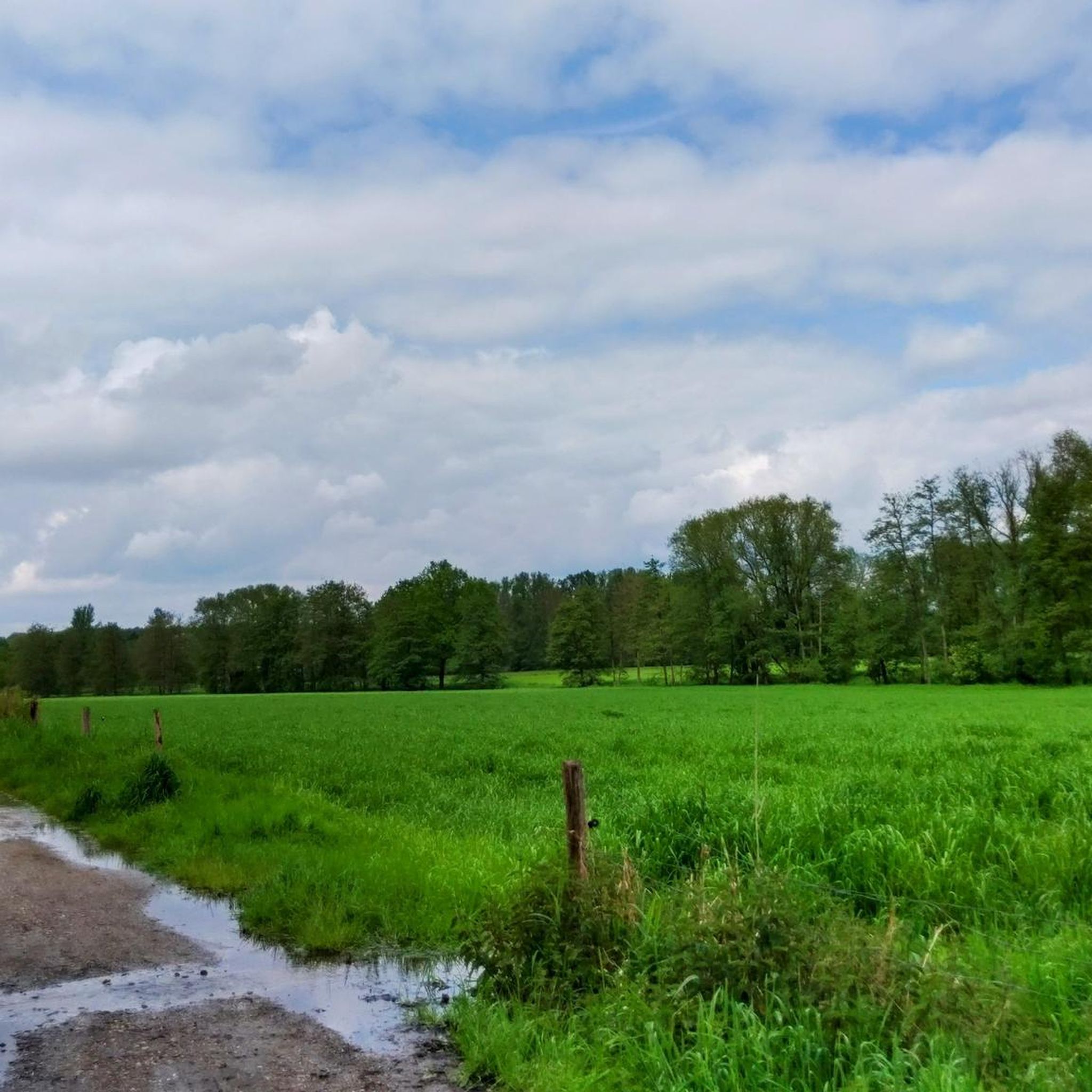
There are many puddles, ponds and wetlands here
1
0

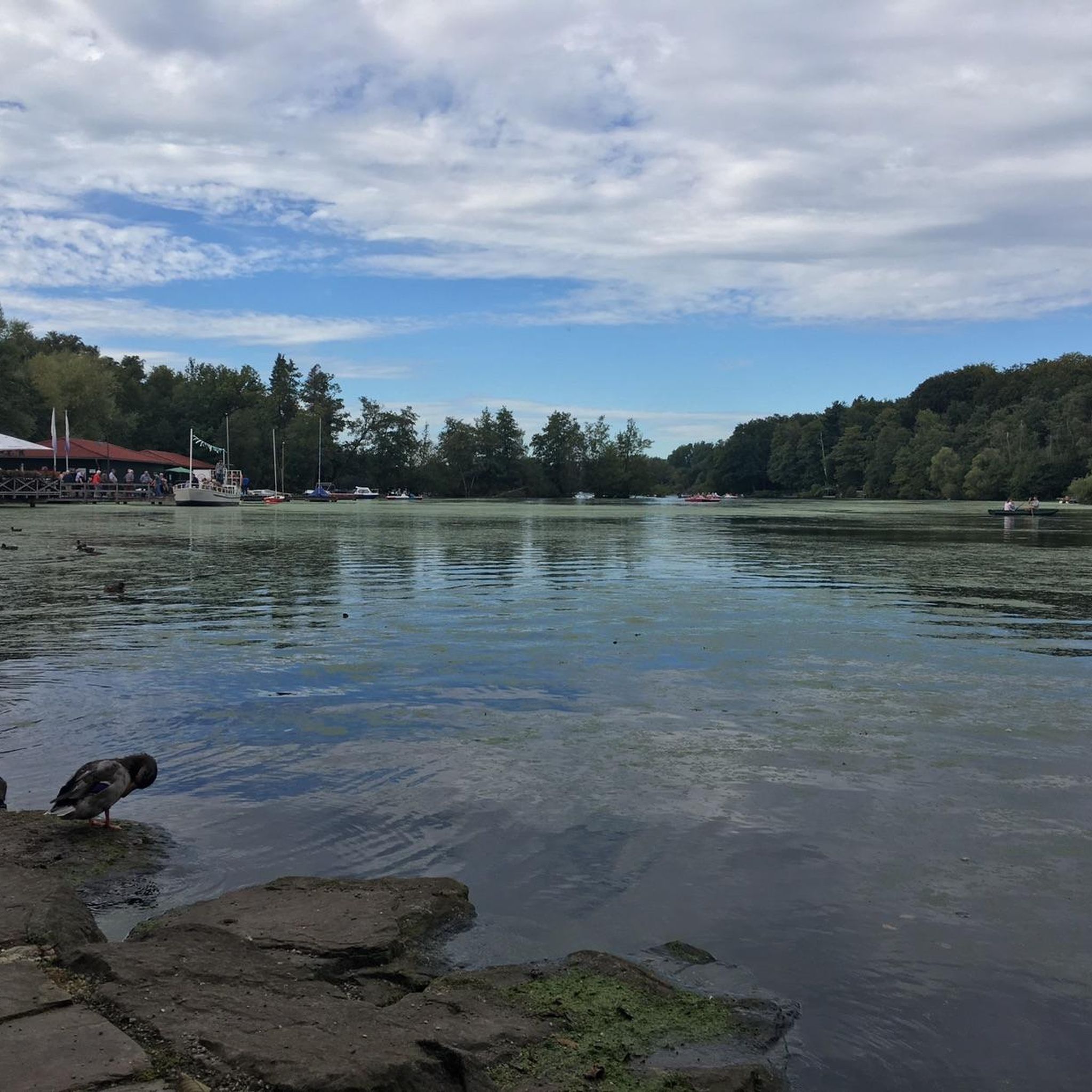
This square has recently been completely redesigned. See picture two.
1
0
하릭제 주변에서 가장 인기 있는 명소


더 살펴보기
다른 지역의 최고의 자전거 경로를 살펴보세요.
