라인펠덴-에히터딩겐 최고의 워킹 & 하이킹 경로
4.5
(2172)
9,639
등산객
313
하이킹
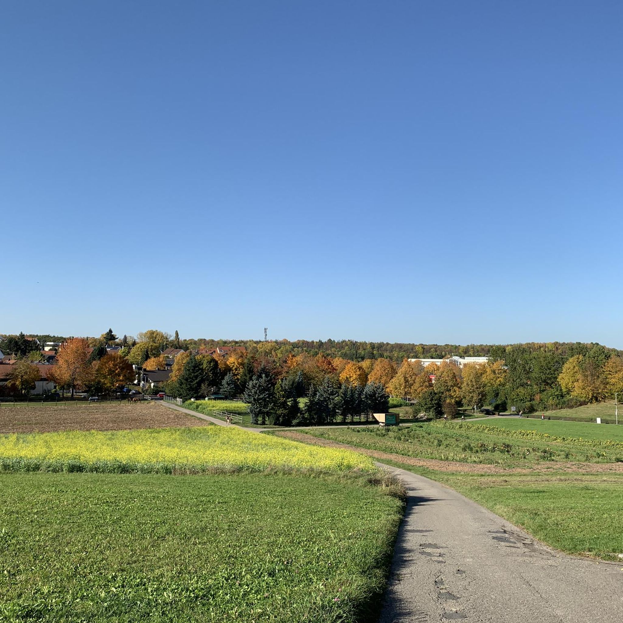
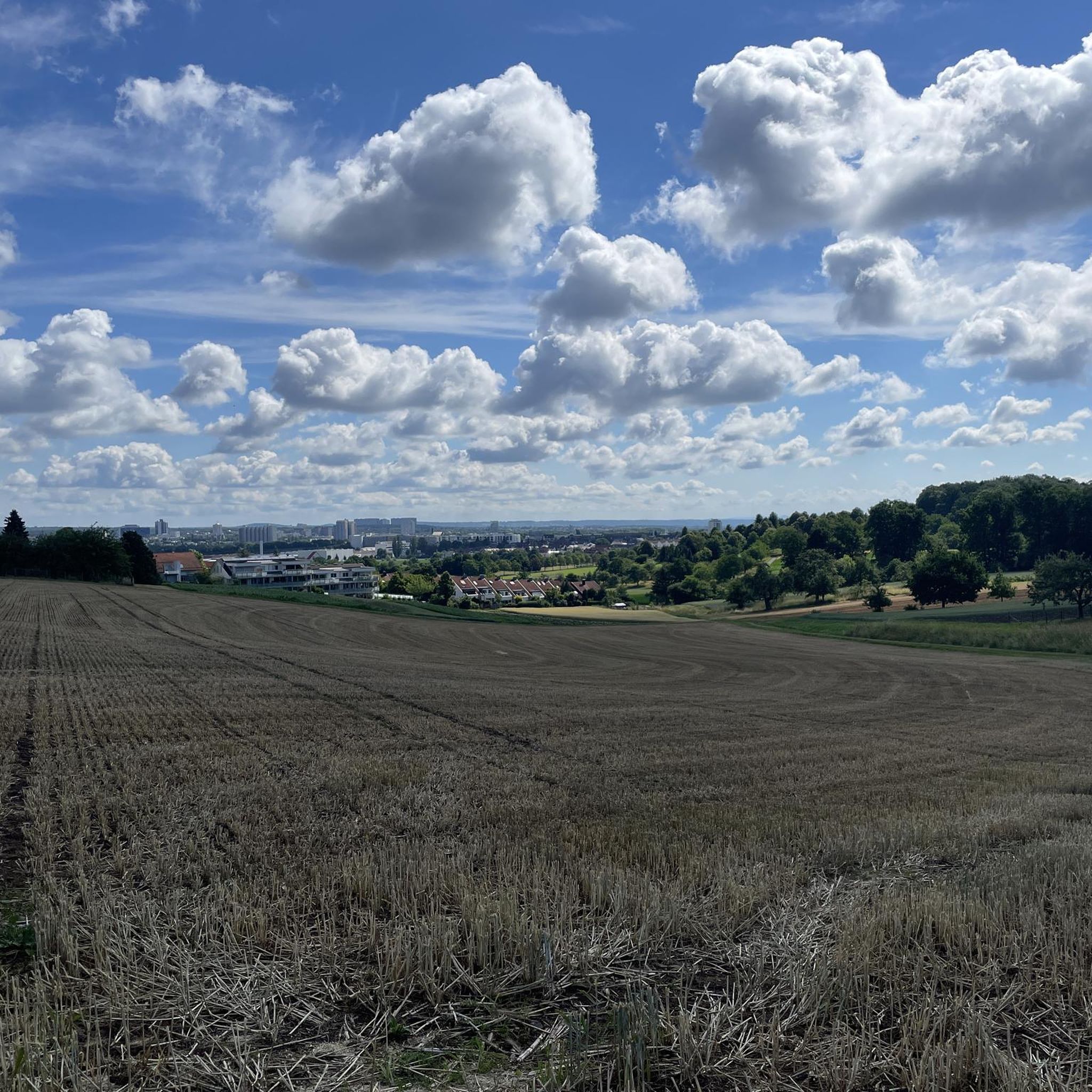
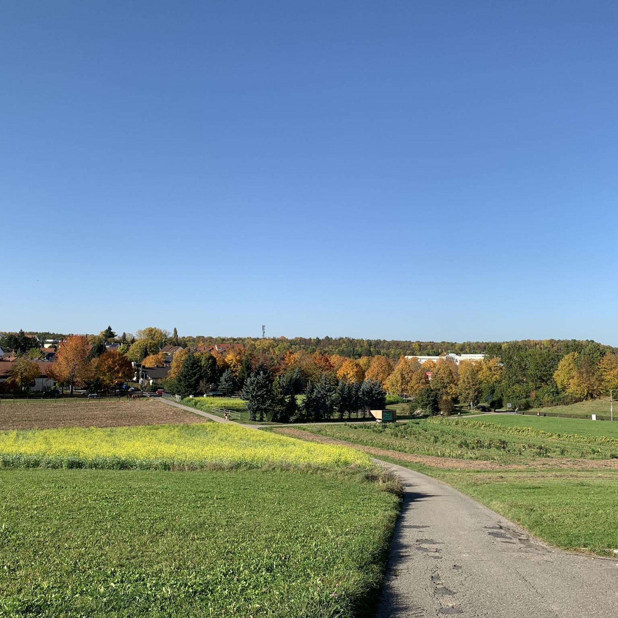
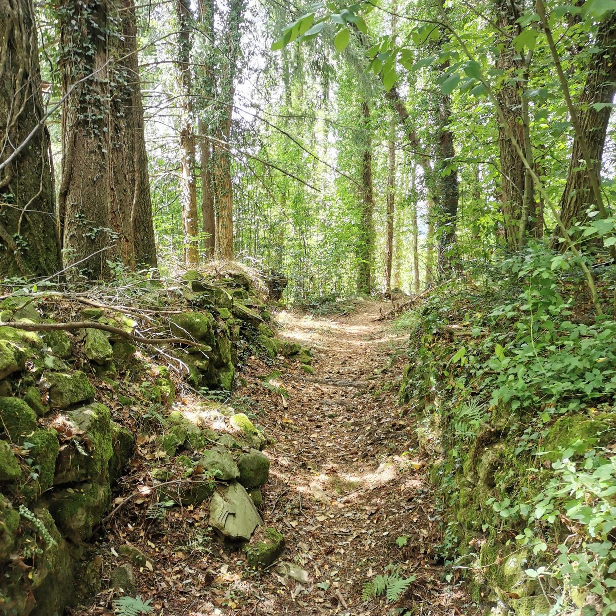
Komoot에 등록된 라인펠덴-에히터딩겐 내 트레일 및 경로 컬렉션 중에서 하이킹과 워킹을 가장 멋지게 즐길 수 있는 곳을 알려드릴게요. 아래에서 각 경로의 상세 정보를 모두 확인한 후, 라인펠덴-에히터딩겐 속 자연에서 즐거운 시간을 누려보세요.
마지막 업데이트: 9월 28, 2026
4.5
(284)
906
등산객
4.91km
01:22
90m
90m
초급용 하이킹. 모든 체력 수준에 적합. 실력과 관계없이 누구나 쉽게 갈 수 있는 길.
4.4
(138)
623
등산객
10.7km
02:56
160m
150m
보통 하이킹. 좋은 체력 필요. 실력과 관계없이 누구나 쉽게 갈 수 있는 길.

4.6
(177)
703
등산객
15.1km
04:02
160m
160m
보통 하이킹. 좋은 체력 필요. 실력과 관계없이 누구나 쉽게 갈 수 있는 길.
4.5
(72)
236
등산객
7.72km
02:09
140m
140m
보통 하이킹. 좋은 체력 필요. 실력과 관계없이 누구나 쉽게 갈 수 있는 길.
4.5
(256)
840
등산객
4.44km
01:13
60m
60m
초급용 하이킹. 모든 체력 수준에 적합. 실력과 관계없이 누구나 쉽게 갈 수 있는 길.
더 다양한 경로와 다른 탐험가들의 추천을 살펴보세요.
이미 komoot 계정이 있나요?
투어 추천은 다른 사람들이 komoot에서 완료한 수천 개의 활동을 바탕으로 구성되어 있습니다.
오늘 무료 계정으로 시작하세요
다음 모험이 기다리고 있어요.



커뮤니티 팁

Waldenbucherstrasse 숲 주차장에서 멀지 않은 곳에 있습니다. 그래서 대부분 사람이 붐빕니다. 지붕이 있는 바베큐 장소는 볼 만합니다.
4
0
The many fallen trees along the Reichenbach, some of which lie not only over the stream but also over the narrow hiking trail, make the route even more rustic.
11
0
Especially the path along the meadows of the Walzenmühle, which was in operation as a mill until 1930 and is now a riding stable.
10
0
Flour was produced here until 1925. The old millstones are still there. The mill wheel continued to generate electricity until the war year of 1945, when the mill building and the mill wheel were severely damaged.
11
0
One of the few mills accessible by car via the "Alte Poststrasse" (Old Post Road). Parking is available. The mill boasts a lovely self-service beer garden.
10
0

"Beautiful stream in the forest" - it's the Reichenbach! The Reichenbach originates at approximately 409 m above sea level (NN) through the confluence of the Schmellbach and Mahdenbach streams south of the Sindelfinger Spitze. The approximately 2.6 km long Schmellbach originates near Stuttgart-Rohr and flows into the Reichenbach from the north. The approximately 3.3 km long Mahdenbach originates in the Beckenhäule forest area east of Böblingen and flows into the Reichenbach from the west. From there, the Reichenbach flows predominantly southward through or along the edge of the municipalities of Böblingen, Leinfelden-Echterdingen, Steinenbronn, Filderstadt, and Waldenbuch. South of Burkhardtsmühle in the municipal area of Waldenbuch, it flows into the Aich from the left and finally to the north at 328.5 m above sea level.
0
0

For a while along the trail, you'll be accompanied by a beautiful stream. There's also a bench here where you can sit and enjoy the sound of the stream.
5
0
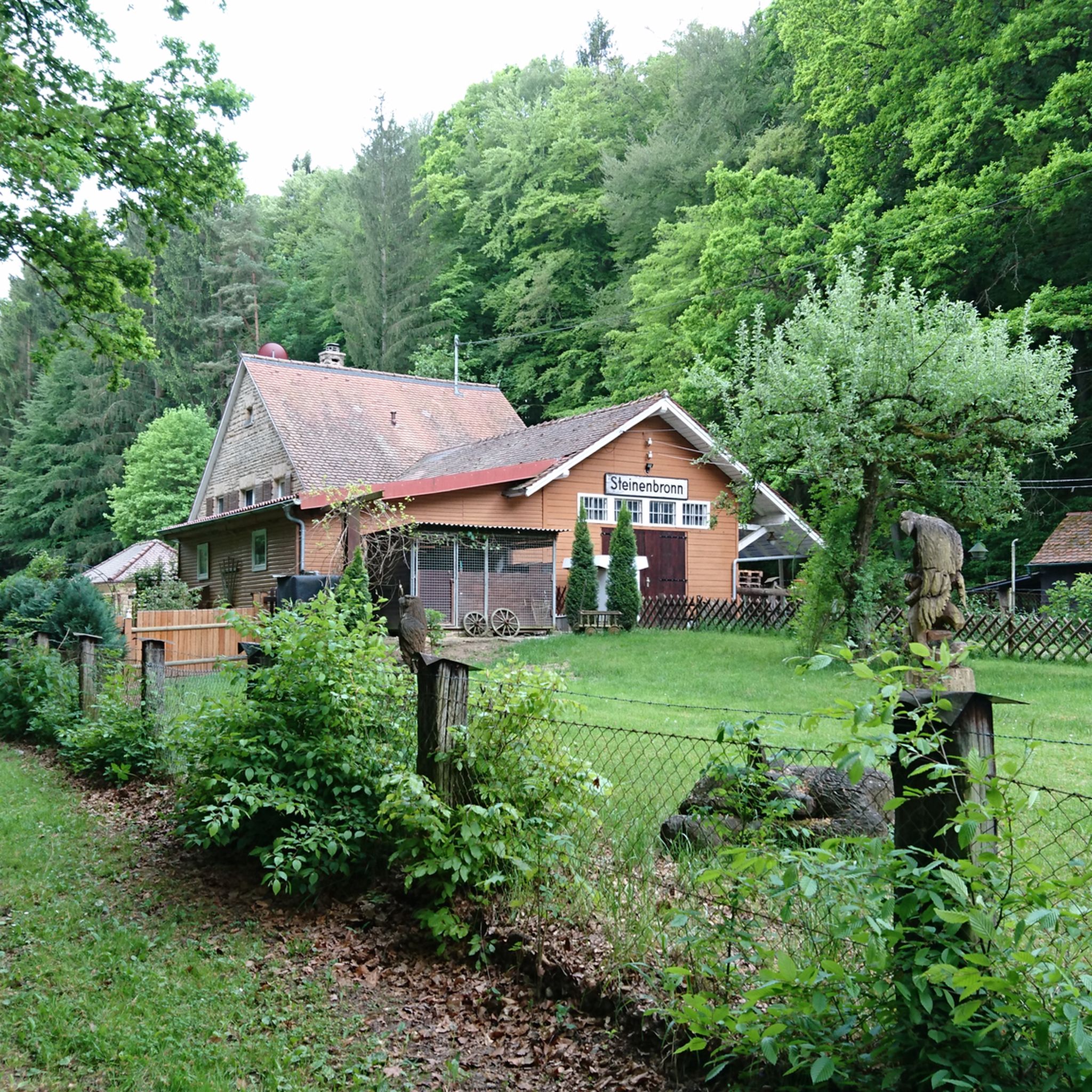
Beautiful and witty wooden sculptures. Considering how handcrafted they are, they're simply craftsmanship. 😍
7
0
라인펠덴-에히터딩겐 주변에서 가장 인기 있는 명소


더 살펴보기
다른 지역의 최고의 하이킹를 살펴보세요.
