바트 고틀루바-베르기스휘벨에서 가장 멋진 4개의 산길
산악 고개들은 바트 괴틀라우바-베르크기스휘벨 주변에 위치하며, 독특한 탁상 산과 극적인 암석 지형으로 유명한 매력적인 작센 스위스 지역에 자리 잡고 있습니다. 이 지역은 야외 탐험을 위한 다양한 경치 좋은 전망대와 경로를 제공합니다. 엘베 사암 산맥(Elbsandsteingebirge)의 일부인 이 지역은 다양한 자연 기념물과 정상에서의 전망을 경험할 기회를 제공합니다. 방문객들은 지역의 독특한 지질학을 보여주는 바트 괴틀라우바-베르크기스휘벨 근처에서 다양한 하이킹 트레일을 찾을 수 있습니다.
바트 괴틀라우바-베르크기스휘벨 주변 최고의 산악 고개
- 가장 인기 있는 산악 고개는 하이커와 사이클리스트를 위한 잘 개발된 통로 역할을 하는 산악 고개인…
마지막 업데이트: 10월 25, 2026
가이어스베르크 고개
하이라이트 (구간) • 산악 고개
번역자 Google •
팁에 의해

Mückentürmchen 근처 Fürstenau 국경 횡단
하이라이트 • 구조물
Cars cannot get through because of heavy stones in the middle of the path!
번역자 Google •
팁에 의해

이런 장소를 발견하려면 지금 가입하세요
최고의 싱글 트랙, 봉우리 및 다양한 흥미로운 야외 장소에 대한 추천을 받아보세요.
Nakléřovská Výšina (Nollendorfer Höhe)
하이라이트 • 전망대
번역자 Google •
팁에 의해

나클레르쇼프스키 고개
하이라이트 • 산악 고개
번역자 Google •
팁에 의해

오늘 무료 계정으로 시작하세요
다음 모험이 기다리고 있어요.
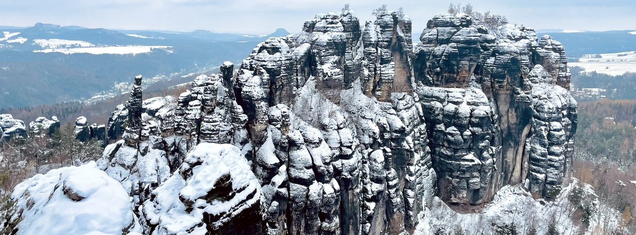
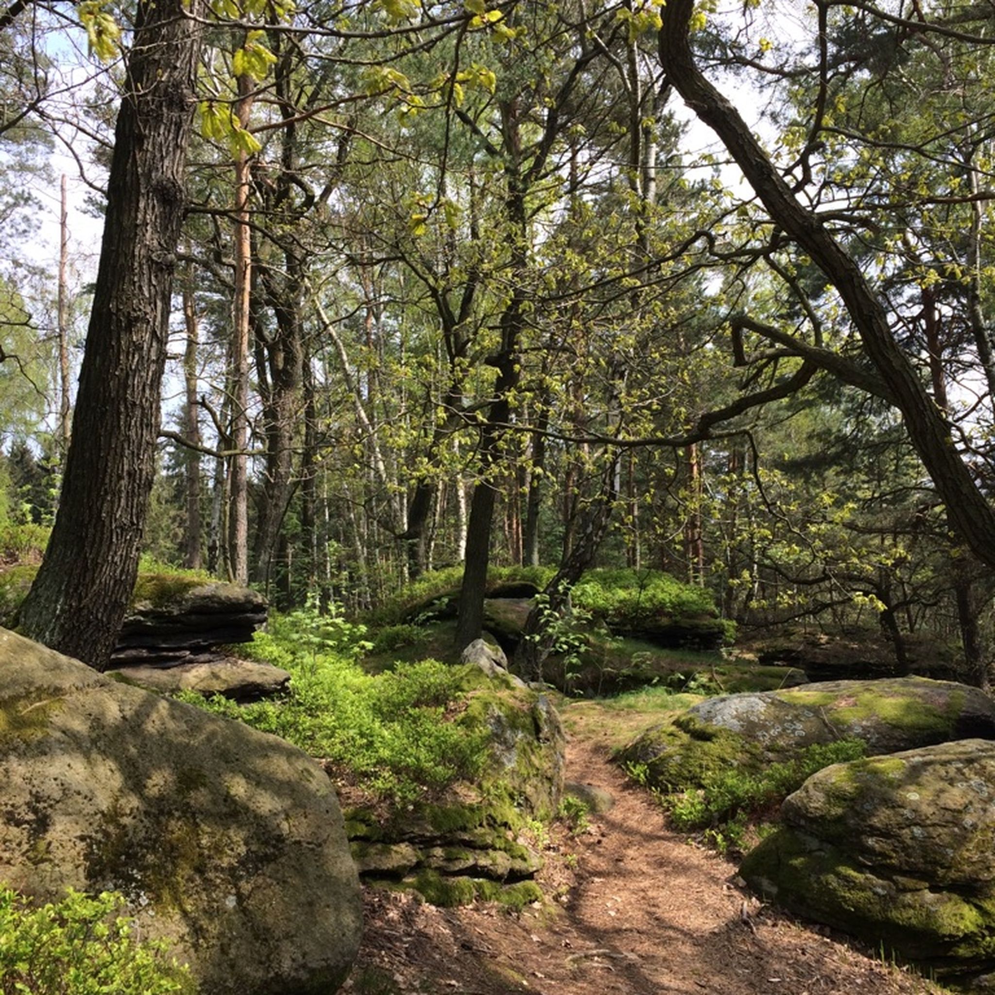
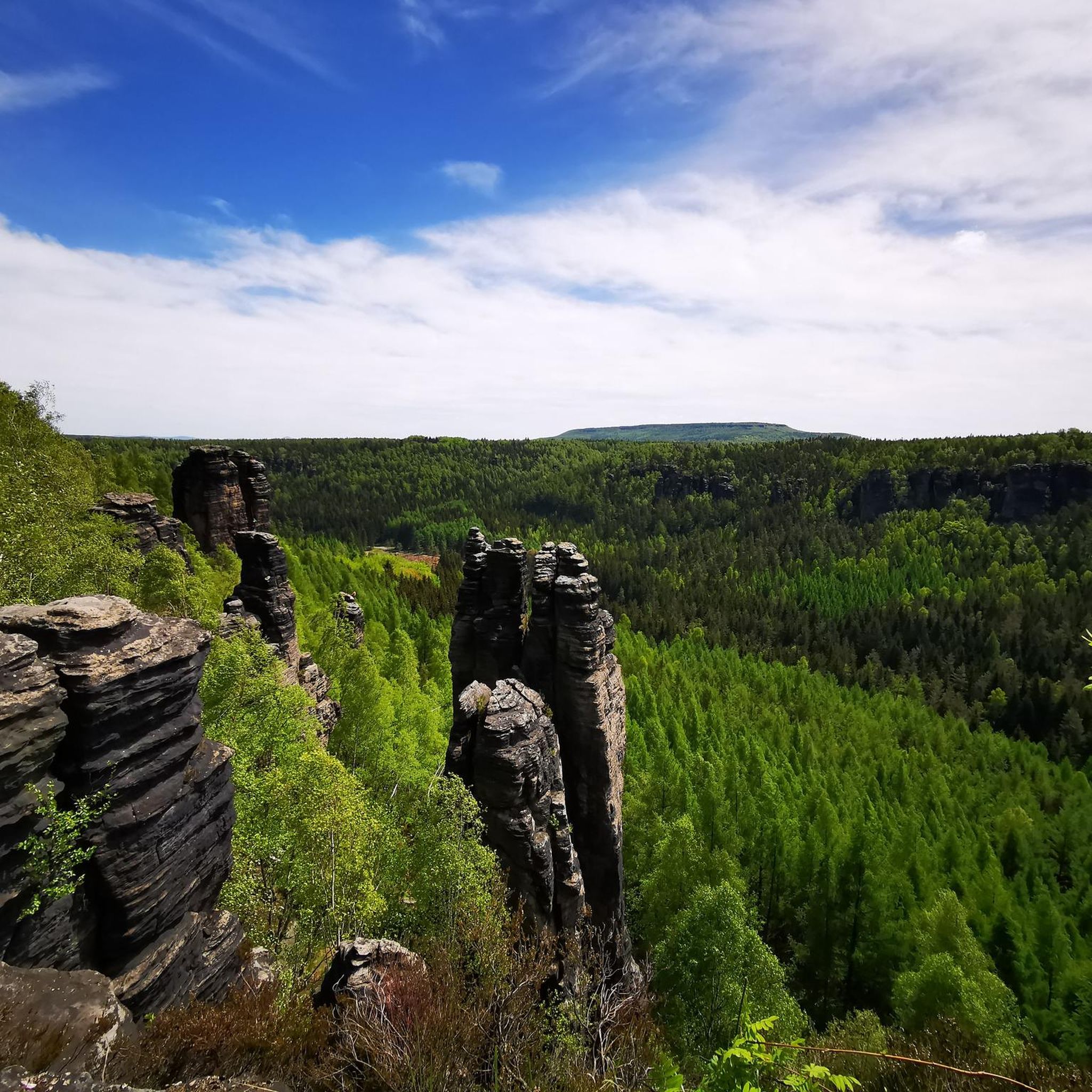
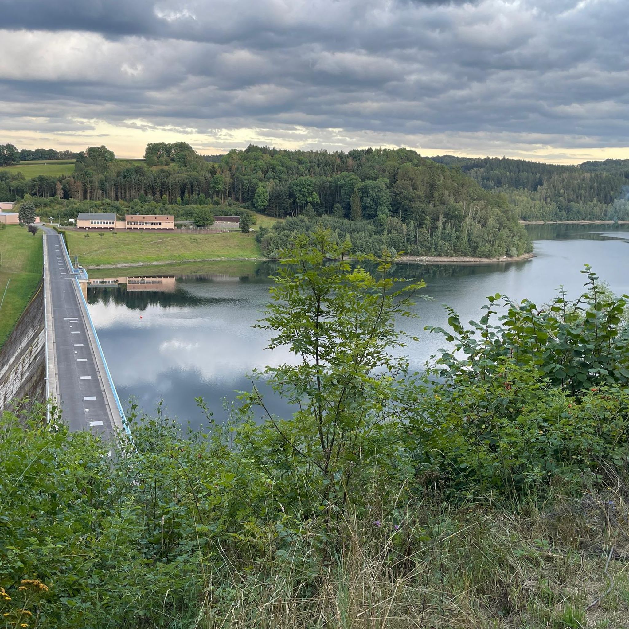

바트 고틀루바-베르기스휘벨 주변의 다른 모험

커뮤니티 팁

Well-developed crossing for hikers and cyclists. Cars cannot get through because of heavy stones in the middle of the path!
1
0

Immediately next to the Nollendorfer Pass (Nakléřovský průsmyk) is the Nollendorfer Höhe (Nakléřovská výšina). From the main road, past a parking lot and the Kleist monument, a rough gravel path branches off to the hill. The path can also be easily ridden on a racing bike if you have the necessary cycling skills. The largely unforested ridge plateau offers a fantastic, almost 360° panoramic view of the Bohemian low mountain range, the Elbe Sandstone Mountains and the Lusatian Mountains, as well as the nearby Schneeberg (Sneznik). From a distance you can also see the Jizera Mountains, Ještěd and the Giant Mountains with Sněžka in the east. You can also see the D8 motorway running at the foot of the mountain. To the north the road emerges from the Panenská tunnel and skirts the mountain to the east. The entire area is steeped in history: Napoleon, the Olympic flame and the Prague Spring. Before the Second World War, the terminus of the tram from Aussig (Usti) to Tellnitz (Telnice), which was inaugurated in 1912, was a popular starting point for the climb to Nollendorfer Höhe.
2
0

The Nollendorfer Pass is steeped in history. Napoleon was here, the Olympic flame was carried here in 1936 on the way from Athens to Berlin and the Red Army used this pass to crush the Prague Spring. These events are no longer visible on the pass, only a memorial stone reminds of the story. Coming from the south, the last piece on the pass is pretty tough, but you have a nice view at the top and you can rest on a shady bench.
2
0

The Geiersberger Pass, over which the well-known Alte Dresden-Teplitzer Poststraße ran until 1860, began in what is now the Graupener (Krupka) district of Hohenstein (Unčín). Here the path coming from Teplice reached the edge of the forest behind the Mariaschein monastery (Bohosudov). From there it climbed steeply past the Geiersburg (Kyšperk) and the Goldammerkreuz, which was erected before 1785, to the ridge of the Eastern Ore Mountains. This was about 1.5 kilometers east of the Mückenberg (Komáří hůrka) at an altitude of about 720 m n.m. exceeded. After that, the route branched out. One branch followed the Alte Dresden-Teplitzer Poststraße leading into the Elbe valley via the small Bohemian village of Ebersdorf, of which only a few remnants remain today. The crossing of the border was marked by the Black Cross (also erected before 1785). The Geiersbergstraße, originally leading from Hohenstein (Unčín) to the ridge, was probably carved in large parts by Graupener miners as a narrow path into the rock of the Bohemian Ore Mountain steep slope. This is still indicated today by rocky alleys, which can be seen in sections away from the current route. In the past, the descent over the Geiersberger Pass to Hohenstein (Unčín) was one of the steepest and therefore riskiest sections of the Ore Mountain passes. A travelogue from 1698 notes: “The descent from the famous Geiersberg is not something that you pass by in silence. So you learn that when we reached the edge of the chasm, which causes the traveler to tremble with holy terror, we stopped and got out of the carriage. We sat down in the armchairs, which several porters carried down the mountains. I thought about the benefit of breaking your neck while the porters jumped from one stone to another.” Source: https://de.wikipedia.org/wiki/Erzgebirgsp%C3%A4sse#Pass_am_Geiersberg
2
0
자주 묻는 질문
Bad Gottleuba-Berggießhübel 주변에서 어떤 산길을 기대할 수 있나요?
Bad Gottleuba-Berggießhübel 지역 자체는 파프스트슈타인(Papststein)과 릴리엔슈타인(Lilienstein)과 같은 독특한 테이블 산과 극적인 암석 지형으로 더 잘 알려져 있지만, 더 넓은 지역에는 역사적인 산길이 있습니다. 여기에는 옛 우편 도로의 일부였던 가이어스베르거 고개(Geiersberger Pass)와 역사적 중요성과 경치 좋은 전망으로 유명한 나클레로프 고개(Nakléřov Pass)와 같은 경로가 포함됩니다.
어떤 산길이 최고의 파노라마 전망을 제공하나요?
숨 막히는 파노라마 전망을 원하시면 나클레로프스카 비시나(Nakléřovská Výšina, Nollendorfer Höhe)를 방문해 보세요. 놀렌도르퍼 고개(Nollendorfer Pass) 바로 옆에 위치한 이곳은 보헤미아 저산맥, 엘베 사암 산맥, 루사티아 산맥의 거의 360도 전망을 제공합니다. 맑은 날에는 슈네베르크(Schneeberg)와 거인 산맥(Giant Mountains)까지 볼 수 있습니다.
이 지역에 역사적인 산길이 있나요?
네, 이 지역은 역사적으로 풍부합니다. 특히 나클레로프 고개(Nakléřov Pass)는 나폴레옹, 1936년 올림픽 성화, 프라하의 봄과 관련된 사건들을 목격한 곳으로 주목할 만합니다. 기념비가 그 역사적 중요성을 표시하고 있습니다. 가이어스베르거 고개(Geiersberger Pass) 또한 역사적인 알테 드레스덴-테플리처 포스트슈트라세(Alte Dresden-Teplitzer Poststraße)의 일부로서 풍부한 역사를 가지고 있습니다.
Bad Gottleuba-Berggießhübel 근처의 산악 지역에서 최고의 전망대는 어디인가요?
고개 외에도 이 지역은 멋진 전망을 제공하는 테이블 산으로 유명합니다. 파프스트슈타인(Papststein)은 엘베 강 지역의 광범위한 파노라마 전망을 제공하며, 릴리엔슈타인(Lilienstein)은 엘베 강과 주변 테이블 산의 다양한 전망을 제공합니다. 고흐리슈타인(Gohrischstein) 또한 작센 스위스(Saxon Switzerland)의 하이라이트의 파노라마 전망으로 유명합니다.
이 산길 근처에서 어떤 야외 활동을 할 수 있나요?
Bad Gottleuba-Berggießhübel 주변 지역은 다양한 야외 활동에 훌륭합니다. 사이클링과 그래블 바이크를 위한 수많은 경로를 찾을 수 있습니다. 차량 통행이 없는 자전거 도로를 원하시면 Bad Gottleuba-Berggießhübel 주변 차량 통행 없는 자전거 도로 가이드에서 옵션을 살펴보세요. 그래블 바이크를 선호하신다면, '엘베 강과 바스테이 다리 루프(Elbe River and Bastei Bridge Loop)'와 같은 경로를 포함하는 Bad Gottleuba-Berggießhübel 주변 그래블 바이크 가이드를 확인해 보세요.
하이커와 사이클리스트에게 적합한 국경 통과 지점이 있나요?
네, 퓌르스테나우(Fürstenau) 근처 뫼켄투름헨(Mückentürmchen)의 퓌르스테나우 근처 국경 통과 지점은 잘 개발되어 있으며 하이커와 사이클리스트에게 이상적입니다. 경로를 막고 있는 돌 때문에 차량 통행이 불가능하므로 활동적인 여행객에게 평화로운 경로가 될 수 있다는 점에 유의하는 것이 중요합니다.
이 산길 주변의 하이킹 난이도는 어느 정도인가요?
난이도는 다양합니다. 역사적으로 매우 가파르고 위험하다고 여겨졌던 가이어스베르거 고개와 같은 오르막길이 있습니다. 남쪽에서 나클레로프 고개까지 이어지는 마지막 구간도 상당히 힘들 수 있습니다. 하지만 아우구스트스베르크와 같은 전망대로 가는 길을 포함하여 더 넓은 지역의 많은 경로는 더 쉽고 대부분 평탄한 트레일을 제공하여 편안한 경험에 적합합니다.
바트 괴틀라우바-베르크기스휘벨 근처에 가족 친화적인 하이킹 옵션이 있나요?
특정 산길은 가파른 구간이 있을 수 있지만, 더 넓은 지역에는 가족 친화적인 옵션이 있습니다. 예를 들어, 바트 괴틀라우바에 있는 아우구스트스베르크까지 이어지는 순환 하이킹 경로는 약 4.29km 길이의 쉽고 대부분 평탄한 트레일로 가족에게 적합합니다. 파프슈타인 및 릴리엔슈타인과 같은 탁상 산으로의 오르막길도 다양한 경로를 제공하며, 일부는 가족에게 더 관리하기 쉽습니다.
바트 괴틀라우바-베르크기스휘벨 산악 지역에서 하이킹하기 가장 좋은 계절은 언제인가요?
이 지역은 일년 내내 아름답습니다. 봄과 가을은 쾌적한 온도와 생생한 풍경을 제공하며 인파가 적습니다. 여름도 인기가 많지만 더울 수 있습니다. 겨울에도 풍경은 멋질 수 있지만, 눈이나 얼음 때문에 일부 경로는 더 어려울 수 있으므로 적절한 장비가 필수적입니다.
바트 괴틀라우바-베르크기스휘벨 지역에서 순환 하이킹 경로를 어디에서 찾을 수 있나요?
이 지역에는 여러 순환 하이킹 경로가 있습니다. 주목할 만한 곳으로는 바트 괴틀라우바에서 시작하여 끝나는 아우구스트스베르크까지의 트레일이 있습니다. 릴리엔슈타인 정상 루프는 이 상징적인 탁상 산의 전체 정상 지역을 탐험할 수 있게 하여 보람 있는 순환 경험을 제공합니다.
바트 괴틀라우바-베르크기스휘벨 주변 트레일에서 어떤 종류의 지형을 예상할 수 있나요?
다양한 지형을 만나게 될 것입니다. 트레일은 쉬운 경로 또는 마을 근처의 아스팔트 및 자갈길부터 파프슈타인과 같은 탁상 산으로의 오르막길에 있는 자연 경로, 바위투성이 골목, 나무 계단까지 다양할 수 있습니다. 가이어스베르거 고개의 일부와 같은 역사적인 고개 경로는 거칠고 조각된 암석 구간을 포함할 수 있습니다.


