그로스슈바이드니츠에서 가장 멋진 20개의 천연기념물
Großschweidnitz 주변의 최고의 자연 기념물은 다양한 자연 경관으로 특징지어지는 작센의 어퍼 루사티아(Upper Lusatia) 지역 내에 위치해 있습니다. Großschweidnitz 지자체는 주변 지역의 다양한 자연적 특징을 탐험하기 위한 출발점 역할을 합니다. 이 지역은 지질학적 형성물, 강 수원지, 보호된 협곡이 혼합되어 있습니다. 이러한 장소들은 이 지역의 자연사와 생태 유산에 대한 통찰력을 제공합니다.
Großschweidnitz 주변 최고의 자연 기념물
- 가장 인기 있는 자연 기념물은 코트마르(Kottmar) 산의 서쪽 경사면 해발 478미터에 위치한 강 수원지인 코트마르의 슈프레 강 수원지입니다. 이 장소는 1921년에 수원지 주변에 지어진 반원형의…
마지막 업데이트: 9월 14, 2026
코트마르의 슈프레강 발원지
하이라이트 • 강
번역자 Google •
팁에 의해

테우펠스펜스터 바위 지형
하이라이트 • 자연 기념물
번역자 Google •
팁에 의해

이런 장소를 발견하려면 지금 가입하세요
최고의 싱글 트랙, 봉우리 및 다양한 흥미로운 야외 장소에 대한 추천을 받아보세요.
겔트켈러 바위 지형
하이라이트 • 자연 기념물
번역자 Google •
팁에 의해

흐로마드니크(뎔레너 베르크) 정상 바위
하이라이트 • 자연 기념물
번역자 Google •
팁에 의해

게오르게비처 스칼라
하이라이트 (구간) • 협곡
번역자 Google •
팁에 의해

무료로 가입하여 그로스슈바이드니츠 주변의 더 많은 자연 기념물을 발견하세요.
이미 komoot 계정이 있나요?
오늘 무료 계정으로 시작하세요
다음 모험이 기다리고 있어요.

커뮤니티 팁

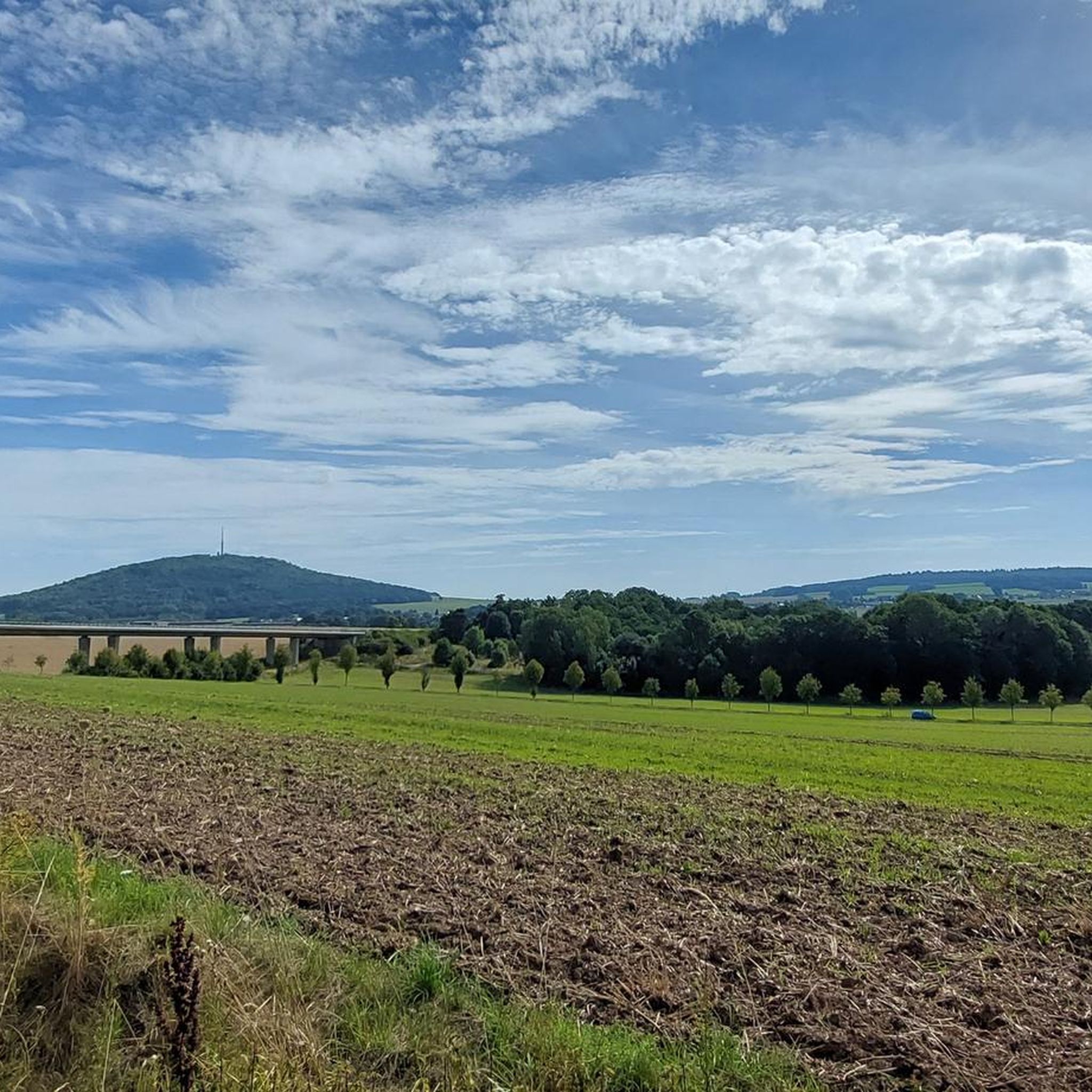
산은 언제나 마법처럼 사람들을 끌어당깁니다 - 이곳에 아름답게 묘사되어 있습니다.
0
0

The money cellar is an interesting rock formation
0
0

Source of the Spree River on the Kottmar Mountain. Information: The Spree River has three official sources: on the Kottmar Mountain, in Neugersdorf, and in Ebersbach. The highest official source of the Spree is located on the Kottmar, at an elevation of 478 meters. Since 1921, it has been surrounded by a memorial to those who fell in the First World War. The Spree is a left tributary of the Havel River, almost 400 kilometers long. It originates in the Lusatian Mountains near the border with the Czech Republic.
3
0

Great rock formation near the mountain inn
0
0

A real insider tip for a nice hike without many people.
0
0

The Georgewitzer Skala was created over a length of approx. 1.3 km by the erosive action of the Löbau water as a deeply incised, south-north oriented, canyon-like rocky valley (skala = Slavic term for rock). This form of a breakthrough valley is more common in Upper Lusatia, especially in the Upper Lusatia region (cf. Gröditzer scale, Lausk scale). The geological source rock, the West Lusatian granodiorite or the Zweiglimmergranodiorite, was removed by the erosion process over thousands of years. The geological subsoil is mainly covered by nutrient-rich loess loam and river gravel from the Vistula ice age. The valley has steep slopes, rock faces and crevices, the Löbau water has a near-natural stream bed with many blocks. The wooded rocky slopes on both sides of the stream rise from 210 m above sea level. NN in the valley floor up to a height of 240 m above sea level. NN and go with a moderate incline into a plateau. A large number of very different near-natural forest communities, such as pedunculate oak-hornbeam forest rich in linden trees, sessile oak-beech forest rich in hornbeam and hornwort-black alder shoreline characterize the scale. As special features of the avifauna, kingfishers, lesser woodpeckers and gray wagtails can be mentioned. Hollow Corydalis, Black Lungwort, Lily of the Valley and Greater Chickweed occur as protected plant species due to the weakly alkaline-influenced granodiorite weathering soil of the basalt mountains. Source: Wikipedia
2
0
The festival play "Barbarossa's Awakening" was performed here on June 23, 1872. The plot of the play involves Germany's uprising and unification in 1871.
0
0
The Geldkeller is located on the eastern slope directly at the castle rampart - a very striking rock formation. At the north foot there is a small cave, which gave the rock its name. A legend tells that in this cave on St. John's Day (three days after the summer solstice) a wall opens and gold is found in a secret cellar. In fact, on the morning of the summer solstice, the sun shines through a viewing slit into the cave and paints a golden spot of light on the inner wall of the cave entrance. At sunset, on the summer solstice, the sun shines directly through the entrance to the cave, giving the interior a golden glow. Large boulders piled one on top of the other form two viewing windows above the cave entrance. One allows a view of the morning sun of spring and autumn, as well as the morning sun of the winter solstice and opposite the evening sun of the summer solstice. The second viewing window is just to the east of the cave entrance. Here the sun appears at the winter solstice at the moment when it disappears behind the hill fort at Berggrad and at the evening sun in spring and autumn. The Geldkeller is very easy to reach. A road leads to the Löbauer Berg. There is a parking lot between the two hilltops. From here you walk in the direction of the radio tower. Then follow the course of the ramparts until the path leads through the ramparts to a small rock in the east. This rock is the money cellar. The way is also signposted. Source: Hand of the Gods
1
0
그로스슈바이드니츠 주변에서 가장 인기 있는 명소


더 살펴보기
그로스슈바이드니츠 주변의 최고의 동굴을 찾기 위해 이 가이드를 확인해보세요:
