가면에서 가장 멋진 20개의 천연기념물
천연기념물을 방문하여 가면의 아름다운 풍경을 만나보세요. 가면에 있는 20
개의 천연기념물과 상세 정보를 살펴본 후에 방문하고 싶은 천연기념물을 다음 모험 계획에 추가해보세요!
마지막 업데이트: 10월 11, 2026
스톡쿰에서 베르네까지의 리페아우에 자연보호구역
하이라이트 • 자연 기념물
번역자 Google •
팁에 의해

번역자 Google •
팁에 의해

이런 장소를 발견하려면 지금 가입하세요
최고의 싱글 트랙, 봉우리 및 다양한 흥미로운 야외 장소에 대한 추천을 받아보세요.
우엘첸저 하이데 자연보호구역의 뮐바흐
하이라이트 • 강
번역자 Google •
팁에 의해

아데너 회에 – 그로세스 홀츠(할데)
하이라이트 • 전망대
번역자 Google •
팁에 의해

베버제 자연보호구역의 숲길
하이라이트 • 트레일
번역자 Google •
팁에 의해

무료로 가입하여 가면 주변의 더 많은 자연 기념물을 발견하세요.
이미 komoot 계정이 있나요?
오늘 무료 계정으로 시작하세요
다음 모험이 기다리고 있어요.
커뮤니티 팁

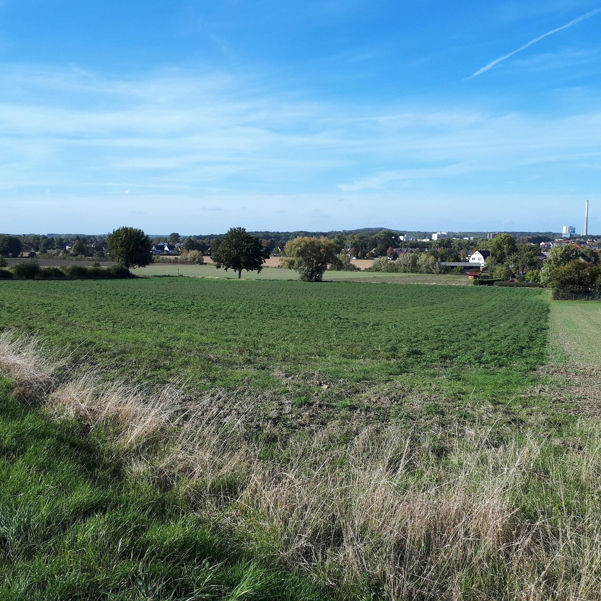
This section of the route is a well-paved footpath and cycle path with a view of the species-rich Lippe and Lippeauen nature reserve. With a bit of luck, you might even see a kingfisher.
3
1

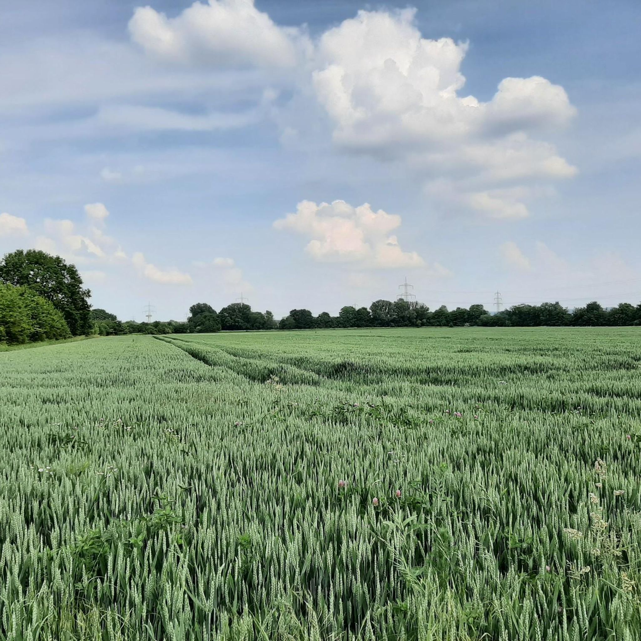
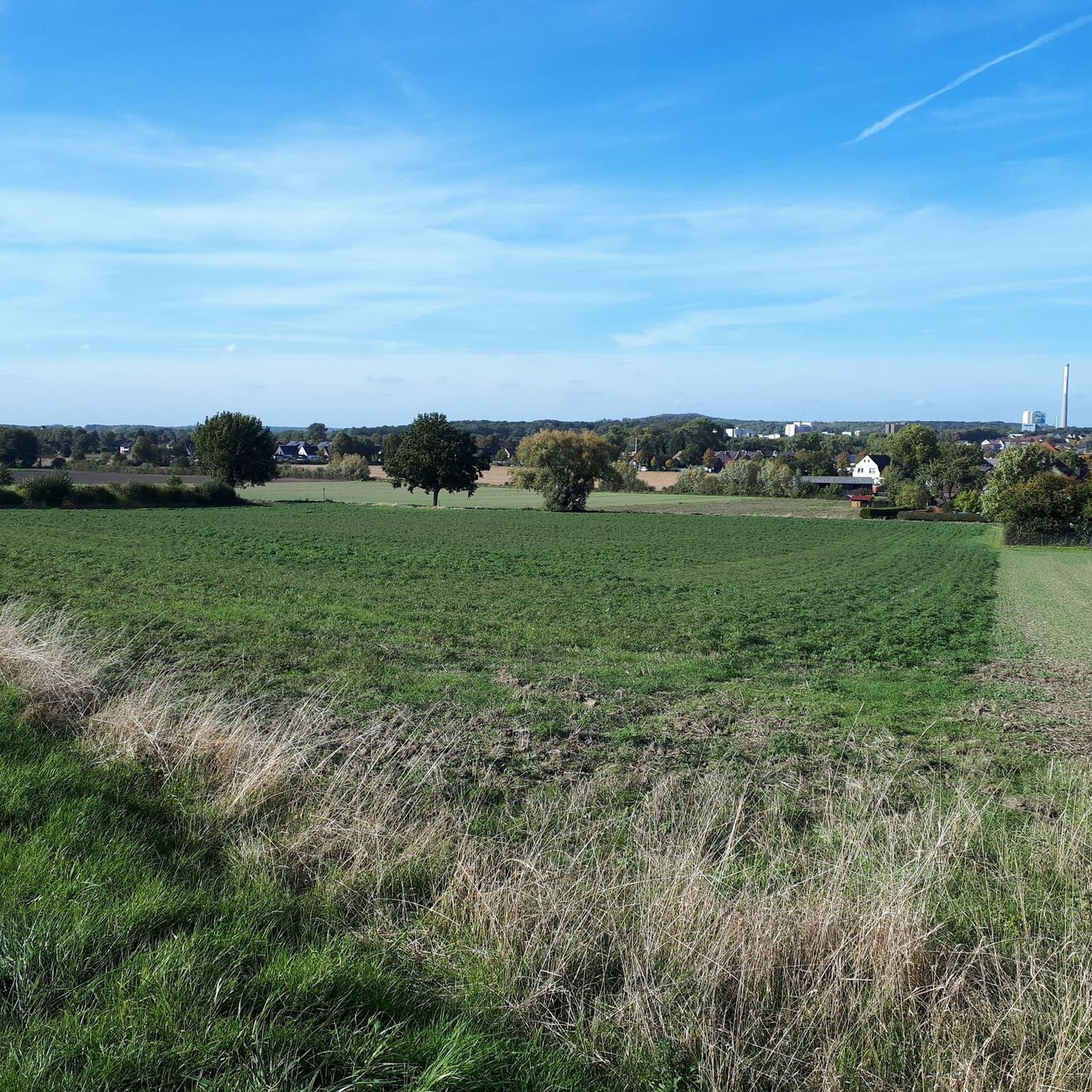
Varied landscape: fields, avenues, forests, fallow land.
2
1

Very beautiful old railway line runs through the area here.
2
1

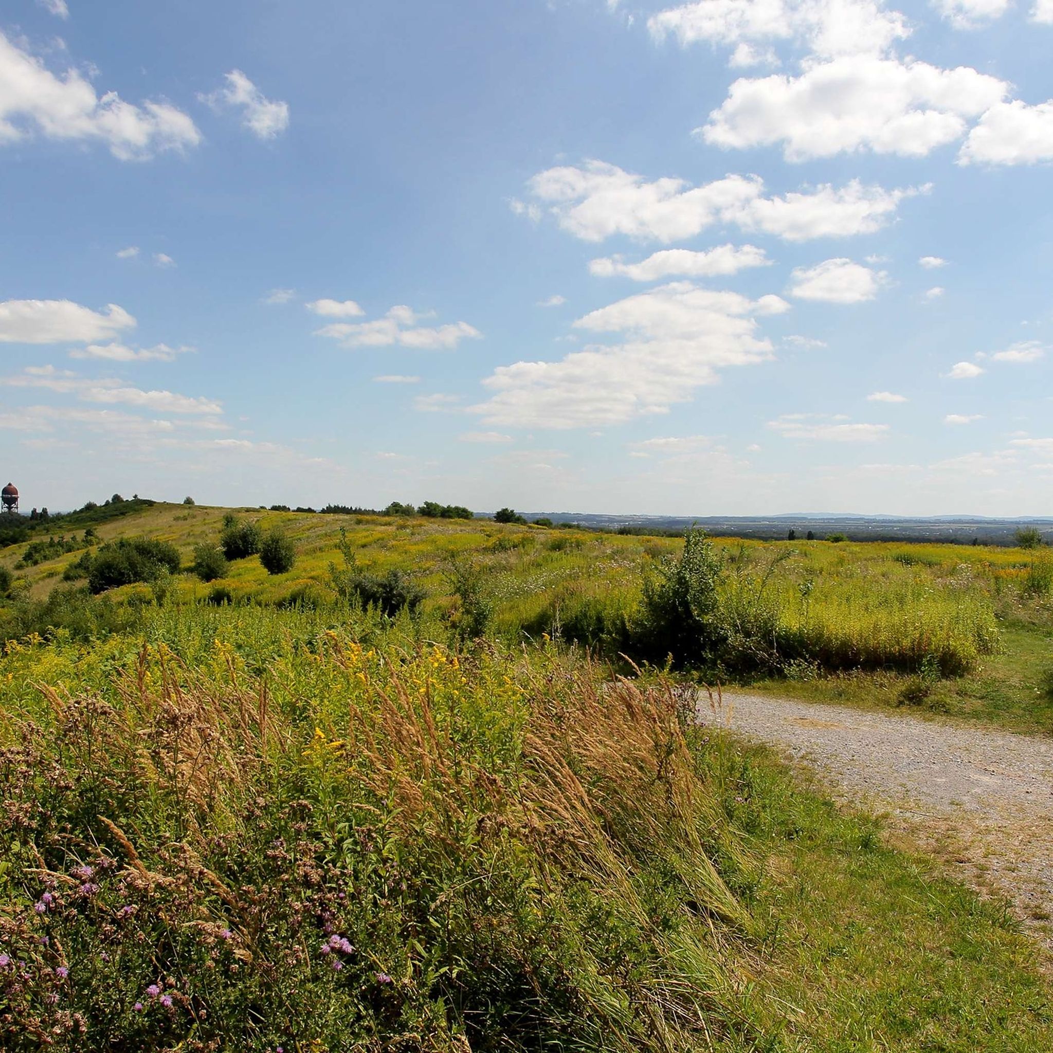
With an area of 140 hectares and a height of 148 meters above sea level, the Bergehalde offers over 40 km of hiking trails. The corridor park, the tree plateau and the grass field are waiting to be discovered. During the hike you are surrounded by a colorful landscape and blue herbs. Once at the top, you will be rewarded with a fabulous view. You can enjoy the view from the "Adener Höhe" of the Münsterland, the Sauerland, the eastern and western Ruhr area.
16
1

The nature reserve is located on the eastern edge of Unna. To the north it extends to the city limits of Kamen. The Hamm-Unna railway line runs through the middle of the area from north to south. The Uelzener Heide is the best proof that the Ruhr region actually has much more to offer than closed mines and a dense network of motorways. Source: naboo. en
6
0

The Beversee is a lake in the northern part of the town of Bergkamen in North Rhine-Westphalia. The forest lake is around 700 m long, 100 m wide and up to 6 m deep. It was formed between 1940 and 1942 in a depression caused by mountain subsidence. The valley is traversed by the Beverbach, a tributary of the Lippe, which is dammed at the western end of the lake in front of the Datteln-Hamm Canal. The size of the lake is regulated with the help of a pumping station. The Beversee is part of the 100-hectare[2] nature reserve of the same name, one of three nature reserves in Bergkamen. It is surrounded by a hiking trail, the entrances to which are at the Marina Rünthe (at the end of Hafenweg), on the B 233 and at the Bergkamen power station at the height of the canal barrier. At the latter two there are information boards about the lake and the nature reserve. From the Emscher Park cycle path, which runs on the other side of the canal, you can reach the lake via the barrage; the Römer-Lippe-Route long-distance cycle route runs on the canal side towards the lake. On the southern shore there is a small lookout tower overlooking the lake. The lake is part of the industrial heritage route, along with the marina, the canal and the neighboring Großes Holz heap.
6
0

Good way to drive.
4
3

Very very nice wooded area with paths going up and down. A break on the platform at the lake is worthwhile: many dragonflies.
4
0
가면 주변에서 가장 인기 있는 명소


더 살펴보기
가면 주변의 최고의 동굴을 찾기 위해 이 가이드를 확인해보세요:
